Whitehouse Pool in Point Reyes National Seashore

Sight · Point Reyes National Seashore

Whitehouse Pool

A quiet creek stop with an unexpected wartime past.

Type
Sight
Nearest trail
0.4 mi
Audio stories
11 nearby
  • Parking
  • Restrooms
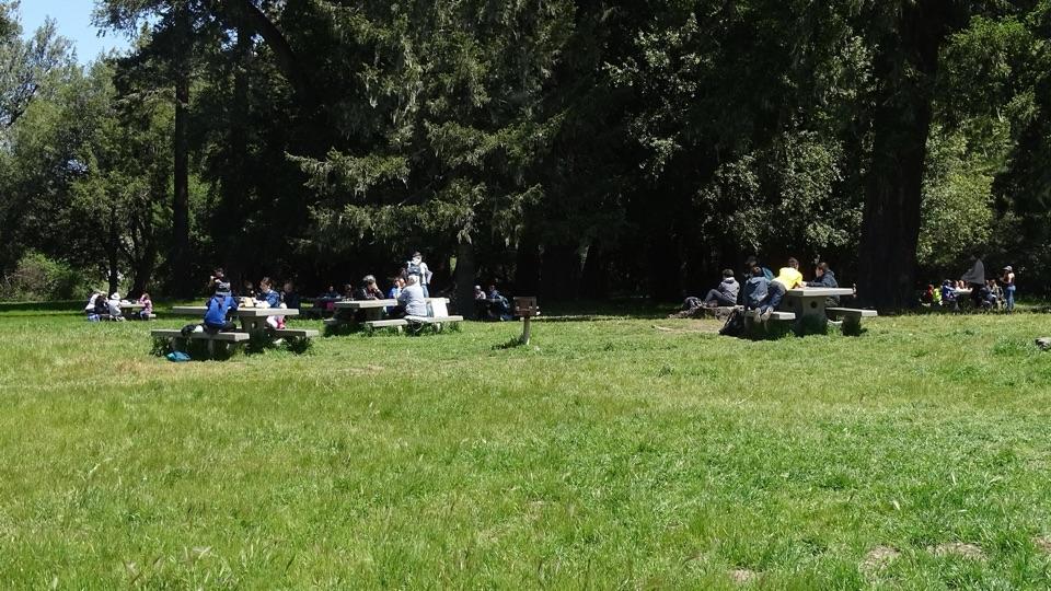
  • Picnic tables

Hear the audio tour

The Winter Salmon Run
Download Parkwolf on the App StoreGet Parkwolf on Google Play

4.7 from 8,600+ ratings

Overview

About Whitehouse Pool

Why stop

  • Quiet creekside setting with wildlife and paddling access

Heads up

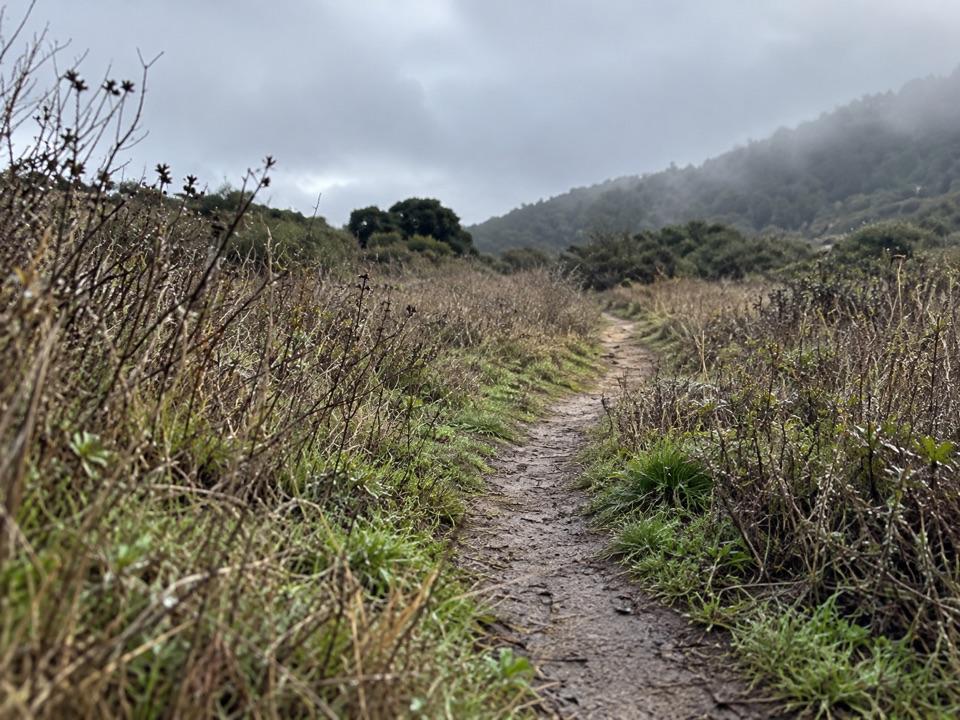
  • Small shore area and sometimes muddy paths

Map

Where it is

Loading the Point Reyes map
Full map
SightWhitehouse Pool38.06253, -122.81676
Keep this map with you offline in the Parkwolf app

Plan your stop

Before you go

Getting there and what is here

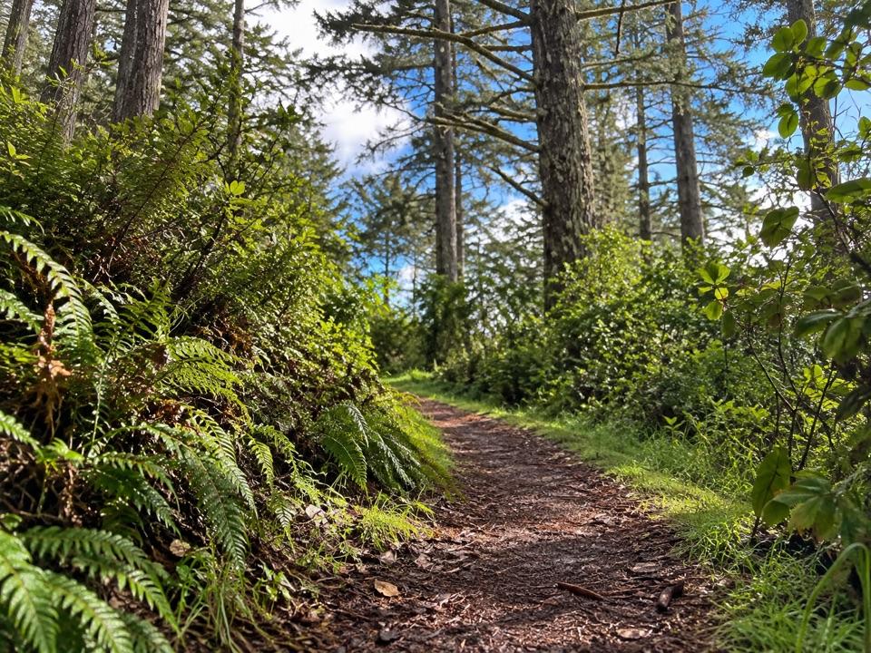
From Highway 1, follow Sir Francis Drake Boulevard and turn left before the green bridge; continue 0.7 mile to the White House Pool sign on the right. A small paved lot serves the site. The county lists benches and a restroom, and dogs are allowed on leash. No food service is listed, so bring what you need if you plan to stay. Keep to the paths to protect the habitat and avoid poison oak.

4 active Point Reyes alerts

  • CautionCoastal flooding risk along Point Reyes through Nov. 26Use caution along Point Reyes shorelines and tidal waterways: a Coastal Flood Advisory is in effect through 4 p.m. PST Thursday, November 26. - Up to 2.Official details
  • ClosurePalomarin Beach Trail closedPalomarin Beach Trail is closed to all visitors, employees, and residents because unstable and failing trail sections have been determined unsafe. - The closure is in effect until further notice.Official details
See all 4 alerts
A park ranger sits on a dash-mounted phone, talking, as Parkwolf’s Tour Guide plays “Army Cutworm Moths: A Grizzly Bear Buffet” on Grand Loop Road below Dunraven Pass in Yellowstone
Parkwolf Tour GuideThe highest, rockiest slopes around here are a summer buffet for grizzly bears.

Point Reyes Tour Guide

Your drive to Whitehouse Pool, narrated.

Parkwolf is a GPS audio tour guide for Point Reyes National Seashore. As you drive, it chimes in with what’s ahead: hidden gems, upcoming stops, history, geology, and wildlife, right through your car’s speakers.

See the Point Reyes audio tour

Recorded for this area

The Winter Salmon Run
0:00 / 0:28
“Point Reyes has a wildlife migration that happens inland. Coho salmon grow in the Pacific, then return to creeks such as Olema to lay eggs in gravel. Winter rain raises the streams and helps them move upstream.”

Plays on the road 0.2 mi from Whitehouse Pool in the Parkwolf Point Reyes Tour Guide.

More stories near here in the app

  • When the Tide Returned
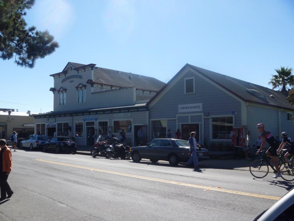
  • Bovine Bakery in Point Reyes Station
  • Tomales Bay's Other Oyster
  • The Ocean's Hidden Food Supply
  • 61 audio storiesacross Point Reyes’s roads, triggered by GPS as you drive
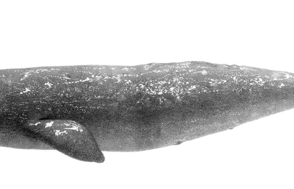
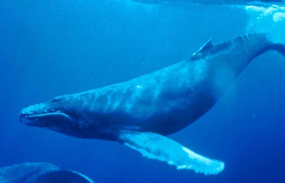
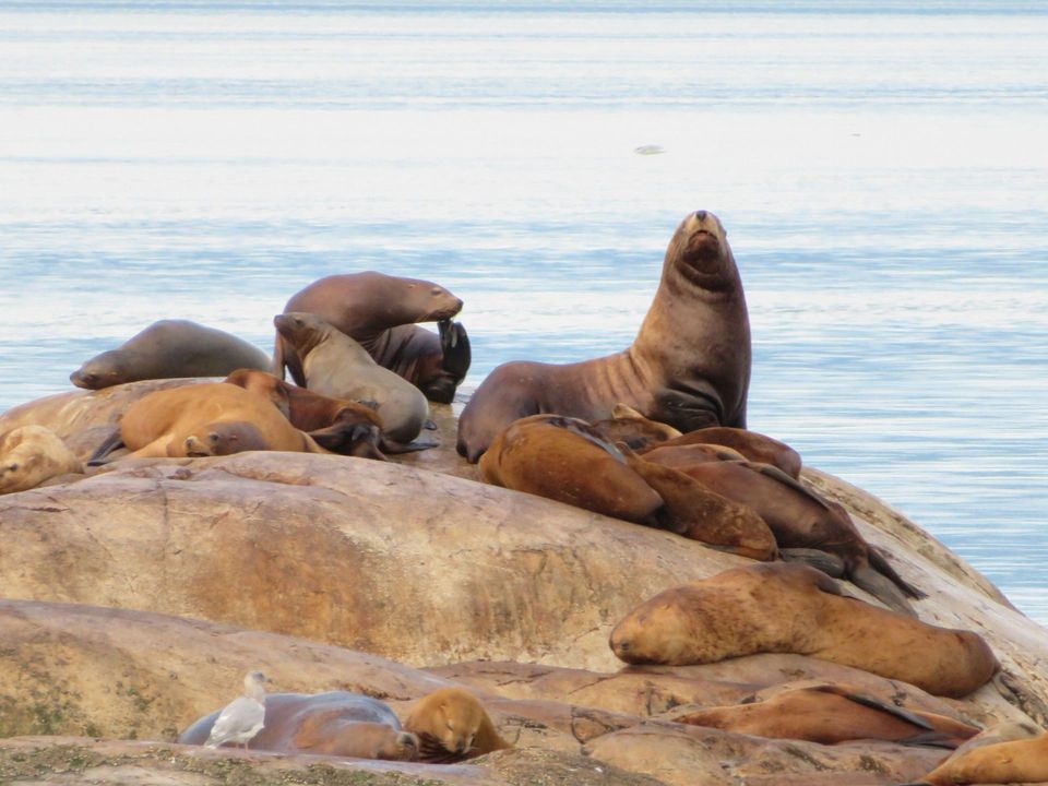
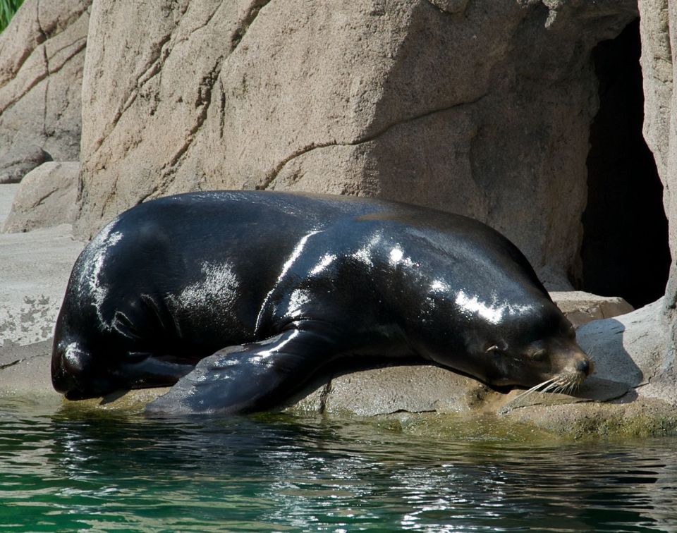
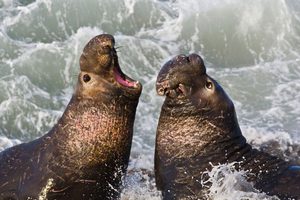
  • Wildlife heatmapsfor Northern Elephant Seal, Grey Whale, Humpback Whale, and 13 more
  • Works offlinemaps, 65 trails, 43 places, and audio download before you lose signal
  • CarPlay readysimple controls built for the drive
★★★★★
“Fantastic app with many points of information… It’s great to just turn on while you’re driving and it gives you an audio tour of the national Park. We love it!!!!”
JMJamesApp Store review
Download Parkwolf on the App StoreGet Parkwolf on Google Play

4.7 from 8,600+ ratings

Guide

More about Whitehouse Pool

A quiet creek stopWhitehouse Pool is a 22-acre county wildlife area along Lagunitas Creek, with a short, level…

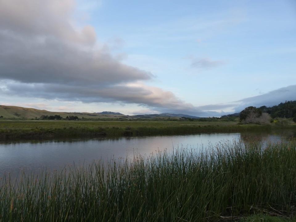
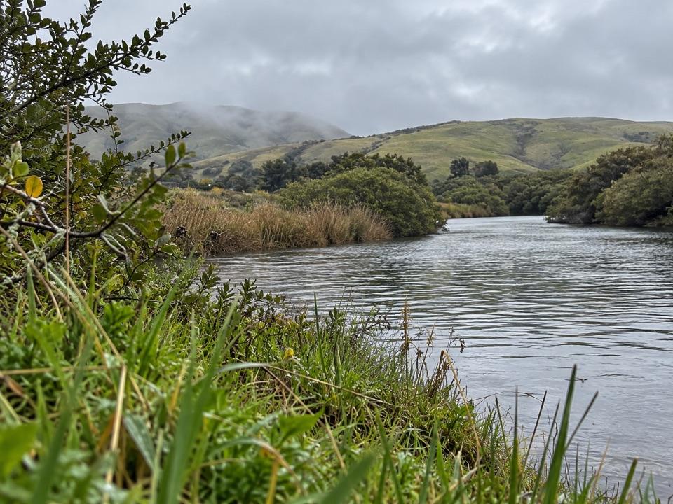
Whitehouse Pool is a 22-acre county wildlife area along Lagunitas Creek, with a short, level path through willows and marsh. It is an easy place to stretch your legs, sit by the water, or launch a kayak or canoe. The shoreline is small and paths can be muddy, so think of it as a modest creek stop rather than a developed swimming beach. Visitors do wade and swim here, but the county's guidance is for paddling and warns that currents can be strong; check tides and use care around the water.

A name from an old swimming holeThe name came from a large white house nearby.

The name came from a large white house nearby. In the early 1900s, the creek pool was a popular swimming and fishing spot, with a grassy lawn, shade trees, bathhouses, and boathouses along the water. After railroad service to the area ended in 1933 and tourism declined, the house and boathouses fell into disrepair. During World War II, the white house served as an Army communications center.

Look into the willowsThe creek edge runs through dense willows and marsh.

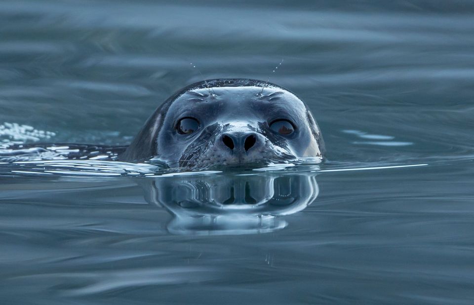
The creek edge runs through dense willows and marsh. Watch for water birds, river otters, and frogs. Red galls made by the willow apple gall sawfly can also show up on willow leaves.

Wildlife

Wildlife in Point Reyes

All Point Reyes wildlife maps

Sighting maps show where each species has been reported across Point Reyes. Wildlife moves, so no sighting is guaranteed.

Keep exploring

Near Whitehouse Pool

See it all on the map

Trails nearby

More stops nearby

Parkwolf’s Point Reyes ranking

Top sights in Point Reyes

All 43 places
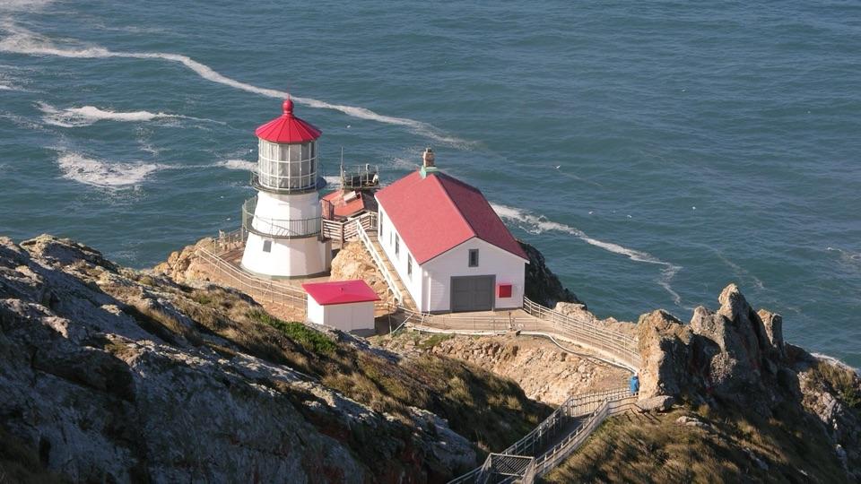
  1. 1Point Reyes LighthouseSight
  2. 2Chimney RockSight
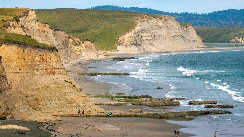
  3. 3Drakes BeachBeach
  4. 4Cypress Tree TunnelSight
  5. 5Alamere FallsSight
  6. 6Pierce Point RanchSight

Take Parkwolf to Point Reyes.

The audio tour guide for the drive, plus offline maps, trails, and wildlife heatmaps for when the signal drops.

4.7 from 8,600+ ratings

Download Parkwolf on the App StoreGet Parkwolf on Google Play