Bolinas Ridge Trail in Point Reyes National Seashore

Point Reyes National Seashore, CA

Bolinas Ridge Trail

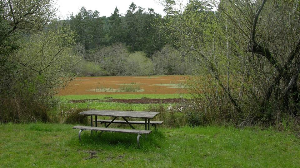
A long traverse from open pasture into redwood shade.

Length
11mi
Time
6.5hr
Elev. change
1,247ft
Difficulty
Challenging
  • Dogs allowed
  • High point 1,634 ft
  • #20 of 65 in Point Reyes

Hear the audio tour

Bolinas Ridge Trailhead

Overview

About Bolinas Ridge Trail

Why go

  • Open views over Tomales Bay and the San Andreas Rift Zone
  • A changing walk from pasture through forest to rocky chaparral

Heads up

  • Eleven one-way miles require a return plan
  • The northern pasture is exposed with little shade

Map & elevation

The route

Loading the Point Reyes map
Full map
Elevation387–1,634 ft
TrailheadBolinas Ridge Trailhead, Sir Francis Drake Boulevard38.04640, -122.77050
Keep this map with you offline in the Parkwolf app

Plan your hike

Before you go

Parking

Start at Bolinas Ridge Trailhead on Sir Francis Drake Boulevard, about 1.1 miles east of Olema. Parking is limited roadside shoulder, approximately 300 feet paved and 200 feet gravel. The full route ends on Bolinas-Fairfax Road, so arrange pickup or a vehicle shuttle before starting.

Safety

The full route is a long one-way walk. The open northern pasture has little shade and some tread is rutted; plan for sun exposure and carry water. The corridor is also used by cyclists.

4 active Point Reyes alerts

  • ClosureOld Tocaloma/Platform Bridge closed to vehiclesDo not drive across the Old Tocaloma/Platform Bridge; it is closed to all vehicular traffic until further notice.Official details
  • ClosurePalomarin Beach Trail closedPalomarin Beach Trail is closed to all visitors, employees, and residents until further notice; do not use the trail. - The trail is closed because unstable and failing sections have made it unsafe.Official details
See all 4 alerts
A park ranger sits on a dash-mounted phone, talking, as Parkwolf’s Tour Guide plays “Army Cutworm Moths: A Grizzly Bear Buffet” on Grand Loop Road below Dunraven Pass in Yellowstone
Parkwolf Tour GuideThe highest, rockiest slopes around here are a summer buffet for grizzly bears.

Point Reyes Tour Guide

Your drive to Bolinas Ridge Trail, narrated.

Parkwolf is a GPS audio tour guide for Point Reyes National Seashore. As you drive, it chimes in with what’s ahead: hidden gems, upcoming stops, history, geology, and wildlife, right through your car’s speakers.

Recorded for this trailhead

Bolinas Ridge Trailhead
0:00 / 0:26
“You're approaching Bolinas Ridge Trailhead on Sir Francis Drake Boulevard.”

Plays as you drive up to this trailhead in the Parkwolf Point Reyes Tour Guide.

More stories near here in the app

  • Cross Marin Trail
  • The Beads That Traveled Inland
  • A Tree Full of Acorns
  • The Butter Brand Worth Copying
  • 61 audio storiesacross Point Reyes’s roads, triggered by GPS as you drive
  • Wildlife heatmapsfor Northern Elephant Seal, Grey Whale, Humpback Whale, and 13 more
  • Works offlinemaps, 65 trails, 41 places, and audio download before you lose signal
  • CarPlay readysimple controls built for the drive
★★★★★
“Fantastic app with many points of information… It’s great to just turn on while you’re driving and it gives you an audio tour of the national Park. We love it!!!!”
JMJamesApp Store review
Download Parkwolf on the App StoreGet Parkwolf on Google Play

4.7 from 8,600+ ratings

Trail guide

Hiking Bolinas Ridge Trail

The full ridge lineBolinas Ridge Trail is an 11-mile, one-way point-to-point hike from Sir Francis Drake Boulevard…

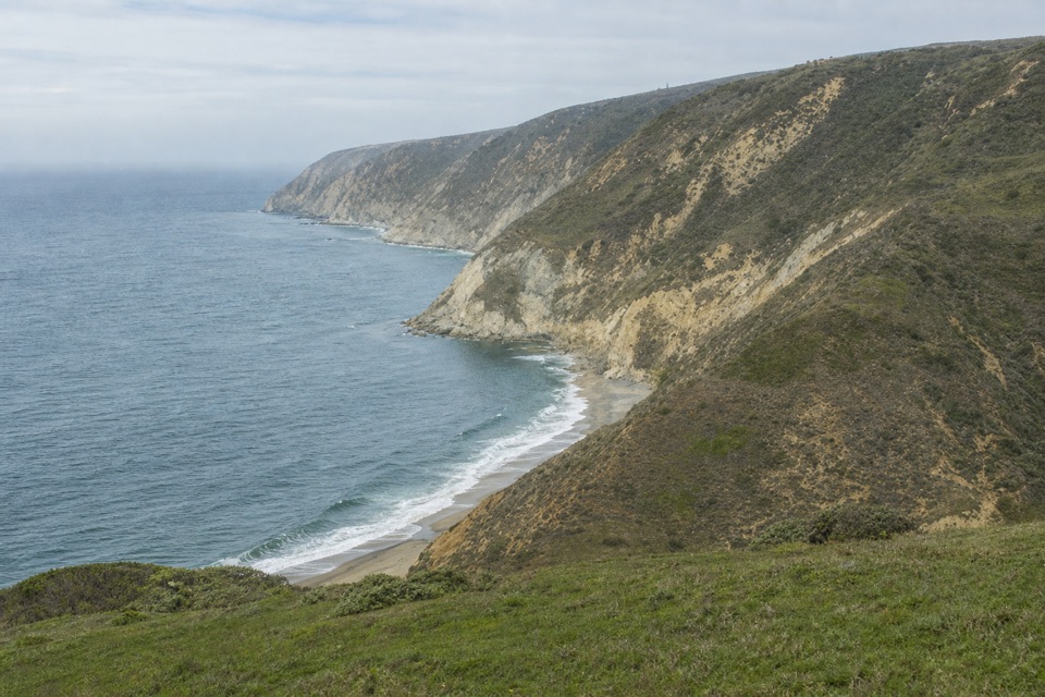
Bolinas Ridge Trail is an 11-mile, one-way point-to-point hike from Sir Francis Drake Boulevard to Bolinas-Fairfax Road. It follows a ridge corridor that changes from open pasture to a flatter wooded middle, then rocky chaparral and fir or redwood cover near the southern end. The shifting landscape is the draw: the northern ridge looks toward Tomales Bay, and the high spine opens across Olema Valley and the San Andreas Rift Zone toward Bolinas Lagoon. This is the full named ridge route, not a loop.

Commit to the traverseSet aside most of a day and about six to seven hours on foot.

Set aside most of a day and about six to seven hours on foot. The 11-mile figure is one way; arrange a pickup or car shuttle at Bolinas-Fairfax Road before you start. Walking back to Sir Francis Drake makes it roughly 22 miles, while a 12.5-mile itinerary continues farther south to the state park entrance. The route's length, steady grades, rutted tread and open exposure make it feel hard; NPS rates it moderate to difficult. If you want to avoid one-way logistics, the north section can be hiked as an out-and-back. A rocky outcrop and table around five miles from Sir Francis Drake make a possible turn-around; going there and back is still about ten miles, so it is a better self-contained option, not a short stroll.

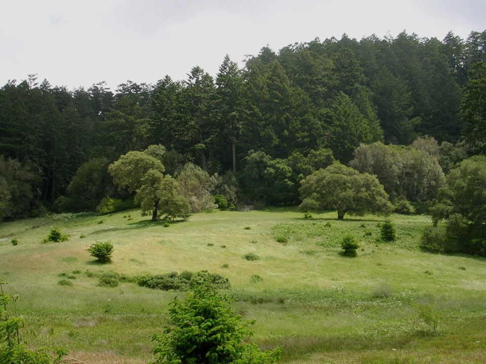
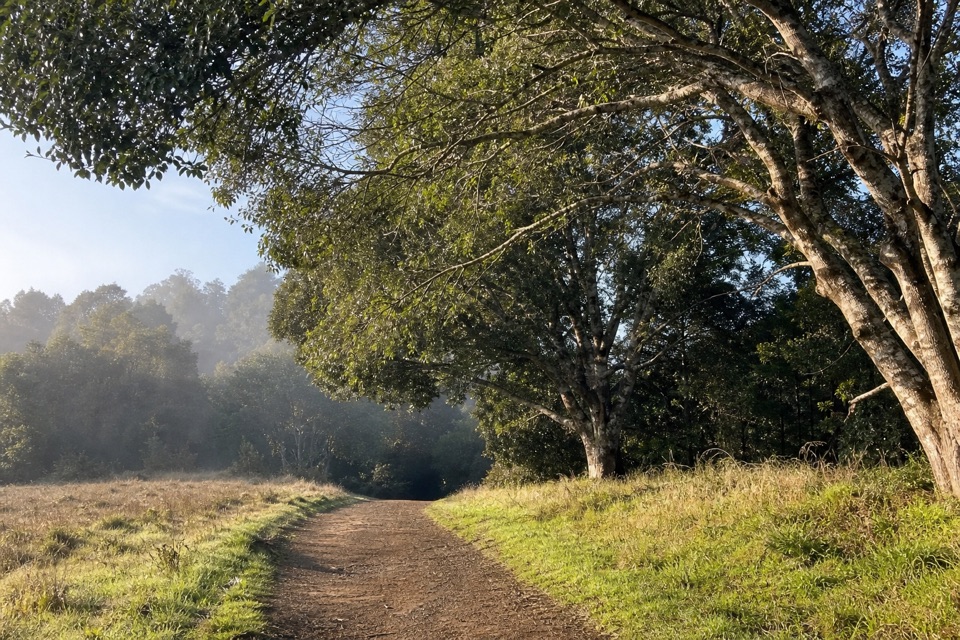
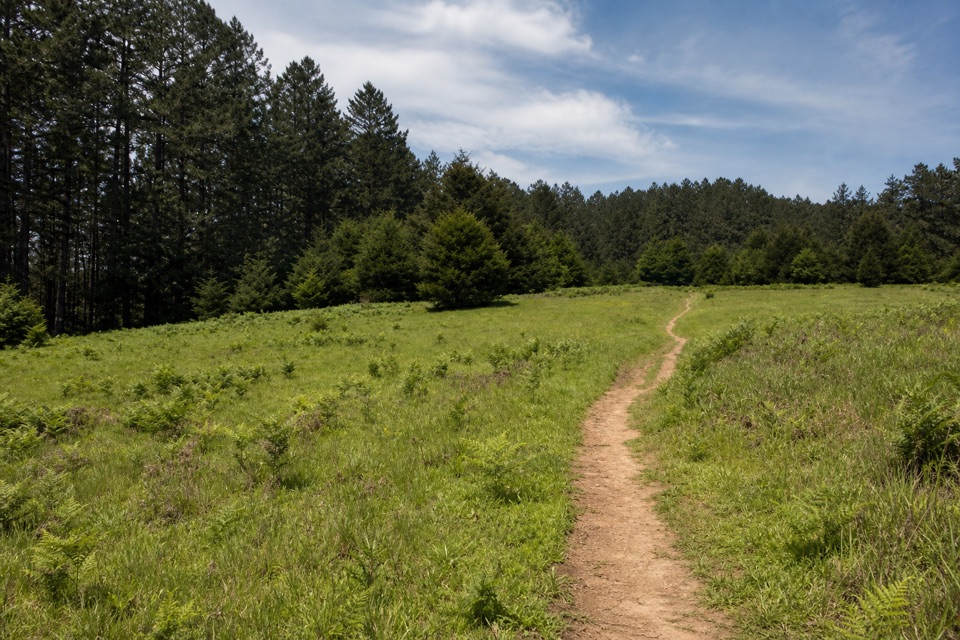
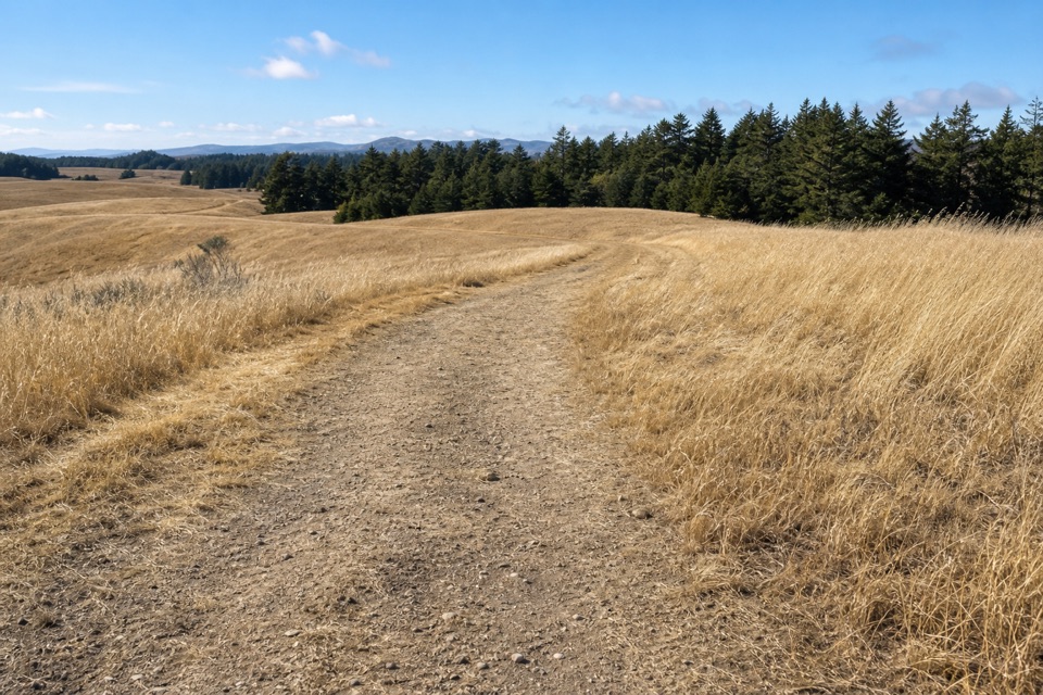
From pasture into forestThe north trailhead leads gradually through open, sun-exposed pasture.

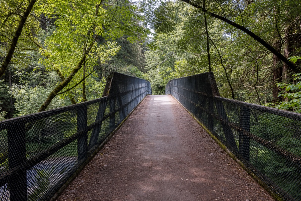
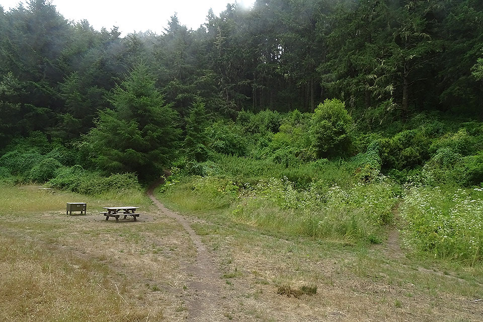
The north trailhead leads gradually through open, sun-exposed pasture. Tomales Bay views open beyond the grass, and shade is scarce in this section. Around five miles in, pause at the rocky outcrop and table if you are turning around. Beyond the pasture, the tread alternates between rutted dirt and narrower forest track. The middle around Randall and McCurdy lies mostly flat under fir and redwoods; farther south, the path opens into rocky chaparral before meeting the road. The contrast between exposed ridge and shaded woods keeps the long walk from feeling like one continuous slope. For a photo, include the track leading back across the northern pasture; the line of trail through the grass shows the ridge's scale better than a close shot of flowers.

Start readyBegin at Bolinas Ridge Trailhead on Sir Francis Drake Boulevard, about 1.1 miles east of Olema.

Begin at Bolinas Ridge Trailhead on Sir Francis Drake Boulevard, about 1.1 miles east of Olema. Parking is limited roadside shoulder, roughly 300 feet paved and another 200 feet gravel. The south finish is on Bolinas-Fairfax Road, so settle return transport before setting out. The open northern pasture has little shade; bring enough water and sun protection for a long exposed walk. No food or water stop along the ridge was confirmed in the reviewed trail information. Winter and spring are the recommended seasons, with seasonal flowers including fetid adderstongue in February, checker lily in March and April, and Pacific trillium in April. Dogs are allowed on leash no longer than six feet, and bikes also use this corridor.

Wildlife

Wildlife in Point Reyes

All Point Reyes wildlife maps

Sighting maps show where each species has been reported across Point Reyes. Wildlife moves, so no sighting is guaranteed.

Keep exploring

Near Bolinas Ridge Trail

See it all on the map

Trails that start nearby

Places near the trailhead

Parkwolf’s Point Reyes ranking

Top-rated trails in Point Reyes

All 65 trails
  1. 1Tomales Point TrailChallenging · 9.5 mi
  2. 2Alamere Falls via Palomarin and Wildcat BeachChallenging · 13.2 mi
  3. 3Chimney Rock TrailEasy · 1.8 mi
  4. 4Abbotts Lagoon TrailEasy · 2.8 mi
  5. 5Bear Valley Trail to Miller PointModerate · 9 mi
  6. 6Drakes Head via Estero TrailModerate · 8.8 mi

Take Parkwolf to Point Reyes.

The audio tour guide for the drive, plus offline maps, trails, and wildlife heatmaps for when the signal drops.

4.7 from 8,600+ ratings

Download Parkwolf on the App StoreGet Parkwolf on Google Play