Cross Marin Trail in Point Reyes National Seashore

Point Reyes National Seashore, CA

Cross Marin Trail

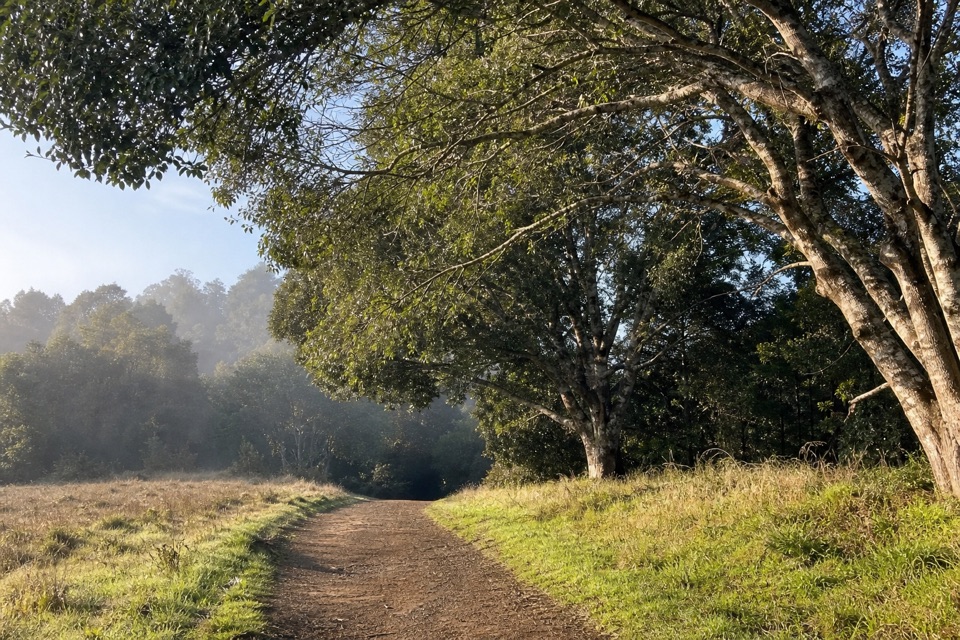
An old rail grade traces Lagunitas Creek through redwoods.

Length
10.6mi
Time
5hr
Elev. change
108ft
Difficulty
Moderate
  • Dogs allowed
  • High point 202 ft
  • #31 of 65 in Point Reyes

Hear the audio tour

Cross Marin Trail

Overview

About Cross Marin Trail

Why go

  • Follows the old railroad grade beside Lagunitas Creek
  • You can turn around early instead of committing to the full distance

Heads up

  • The full outing is 10.6 miles round trip
  • The southern section is gravel and shared with bikes and horses

Map & elevation

The route

Loading the Point Reyes map
Full map
Elevation93–202 ft
TrailheadCross Marin Trailhead (Sir Francis Drake Boulevard and Platform Bridge Road)38.05020, -122.76030
Keep this map with you offline in the Parkwolf app

Plan your hike

Before you go

Parking

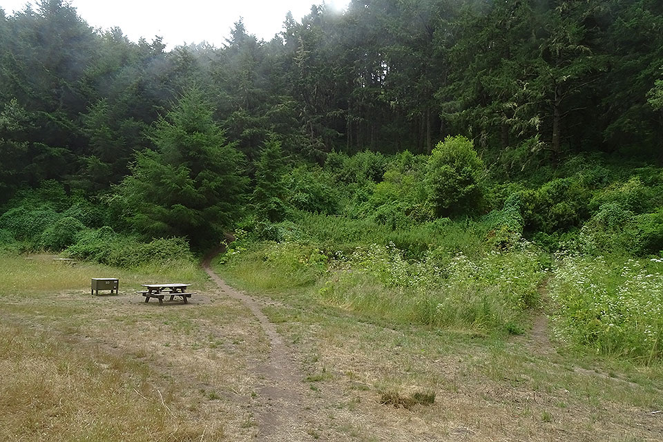
Cross Marin Trailhead is at the northwest corner of Sir Francis Drake Boulevard and Platform Bridge Road. Limited roadside spaces are along the old decommissioned highway and the west side of Platform Bridge Road. The Azalea Day Use lot inside Samuel P. Taylor State Park is an alternate start and requires the state park vehicle fee.


Safety

The southern section is subject to Samuel P. Taylor State Park hours (8 a.m. to sunset). Creek access is prohibited December 1 through June 15; dogs may not enter the creek. Bikes and horses share the path, and the route crosses Sir Francis Drake Boulevard.

4 active Point Reyes alerts

  • ClosureOld Tocaloma/Platform Bridge closed to vehiclesMentions Platform Bridge, referenced in this guideDo not drive across the Old Tocaloma/Platform Bridge; it is closed to all vehicular traffic until further notice.Official details
  • ClosurePalomarin Beach Trail closedPalomarin Beach Trail is closed to all visitors, employees, and residents until further notice; do not use the trail. - The trail is closed because unstable and failing sections have made it unsafe.Official details
See all 4 alerts
A park ranger sits on a dash-mounted phone, talking, as Parkwolf’s Tour Guide plays “Army Cutworm Moths: A Grizzly Bear Buffet” on Grand Loop Road below Dunraven Pass in Yellowstone
Parkwolf Tour GuideThe highest, rockiest slopes around here are a summer buffet for grizzly bears.

Point Reyes Tour Guide

Your drive to Cross Marin Trail, narrated.

Parkwolf is a GPS audio tour guide for Point Reyes National Seashore. As you drive, it chimes in with what’s ahead: hidden gems, upcoming stops, history, geology, and wildlife, right through your car’s speakers.

Recorded for this trailhead

Cross Marin Trail
0:00 / 0:24
“You're nearing the Cross Marin Trailhead, where an old railroad grade follows Lagunitas Creek through redwood groves and meadows.”

Plays as you drive up to this trailhead in the Parkwolf Point Reyes Tour Guide.

More stories near here in the app

  • Bolinas Ridge Trailhead
  • The Beads That Traveled Inland
  • The Tiny Traveler in Olema Creek
  • A Tree Full of Acorns
  • 61 audio storiesacross Point Reyes’s roads, triggered by GPS as you drive
  • Wildlife heatmapsfor Northern Elephant Seal, Grey Whale, Humpback Whale, and 13 more
  • Works offlinemaps, 65 trails, 41 places, and audio download before you lose signal
  • CarPlay readysimple controls built for the drive
★★★★★
“Fantastic app with many points of information… It’s great to just turn on while you’re driving and it gives you an audio tour of the national Park. We love it!!!!”
JMJamesApp Store review
Download Parkwolf on the App StoreGet Parkwolf on Google Play

4.7 from 8,600+ ratings

Trail guide

Hiking Cross Marin Trail

A long, easy railroad-grade walkCross Marin Trail is a 5.

Cross Marin Trail is a 5.3-mile one-way path from its north trailhead at Sir Francis Drake Boulevard and Platform Bridge Road to the Leo T. Cronin Fish Viewing Area. Walk back the same way for 10.6 miles total; allow about five hours for the full out-and-back. The old railroad grade stays easy underfoot and changes little in elevation, but the full return is a long outing.

From creek woods to gravelA wide paved path follows Lagunitas Creek through streamside woodland, small redwood groves and…

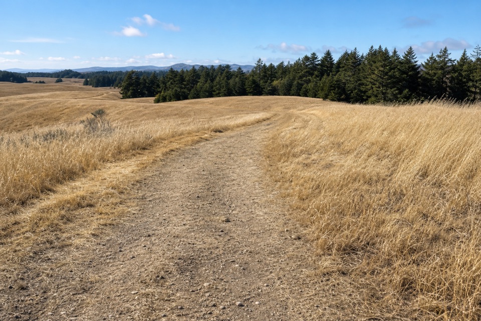
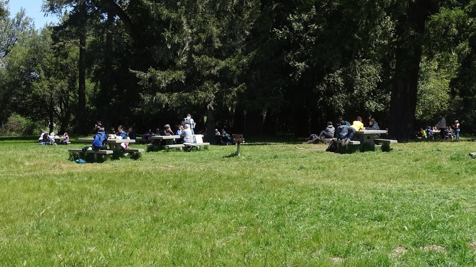
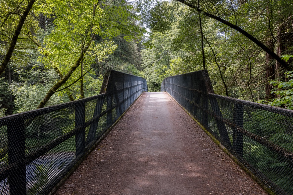
A wide paved path follows Lagunitas Creek through streamside woodland, small redwood groves and meadows. Past the Jewell Trail junction, it enters Samuel P. Taylor State Park and passes the former paper-mill site with its wayside displays, Camp Taylor campground and Redwood Grove picnic area. The paving turns to gravel just beyond the grove. Farther south, the trail crosses Lagunitas Creek and Sir Francis Drake Boulevard, then continues to the fish-viewing area. The mesh-sided bridge over Sir Francis Drake is the route’s clearest framed-path photo.

Access and shared useStart at the northwest corner of Sir Francis Drake Boulevard and Platform Bridge Road, where…

Start at the northwest corner of Sir Francis Drake Boulevard and Platform Bridge Road, where roadside parking is limited; an alternate start at the state park’s Azalea Day Use lot is paid. The southern section is within Samuel P. Taylor State Park and follows its 8 a.m.–sunset hours. Creek access is prohibited December 1 through June 15 to protect spawning fish. Bikes and horses share the route; dogs are allowed on a leash no longer than six feet.

Wildlife

Wildlife in Point Reyes

All Point Reyes wildlife maps

Sighting maps show where each species has been reported across Point Reyes. Wildlife moves, so no sighting is guaranteed.

Keep exploring

Near Cross Marin Trail

See it all on the map

Trails that start nearby

Places near the trailhead

Parkwolf’s Point Reyes ranking

Top-rated trails in Point Reyes

All 65 trails
  1. 1Tomales Point TrailChallenging · 9.5 mi
  2. 2Alamere Falls via Palomarin and Wildcat BeachChallenging · 13.2 mi
  3. 3Chimney Rock TrailEasy · 1.8 mi
  4. 4Abbotts Lagoon TrailEasy · 2.8 mi
  5. 5Bear Valley Trail to Miller PointModerate · 9 mi
  6. 6Drakes Head via Estero TrailModerate · 8.8 mi

Take Parkwolf to Point Reyes.

The audio tour guide for the drive, plus offline maps, trails, and wildlife heatmaps for when the signal drops.

4.7 from 8,600+ ratings

Download Parkwolf on the App StoreGet Parkwolf on Google Play