Parking
Small dirt lot at Bull Point Trailhead on the east side of Sir Francis Drake Boulevard, with space for about 10 vehicles.
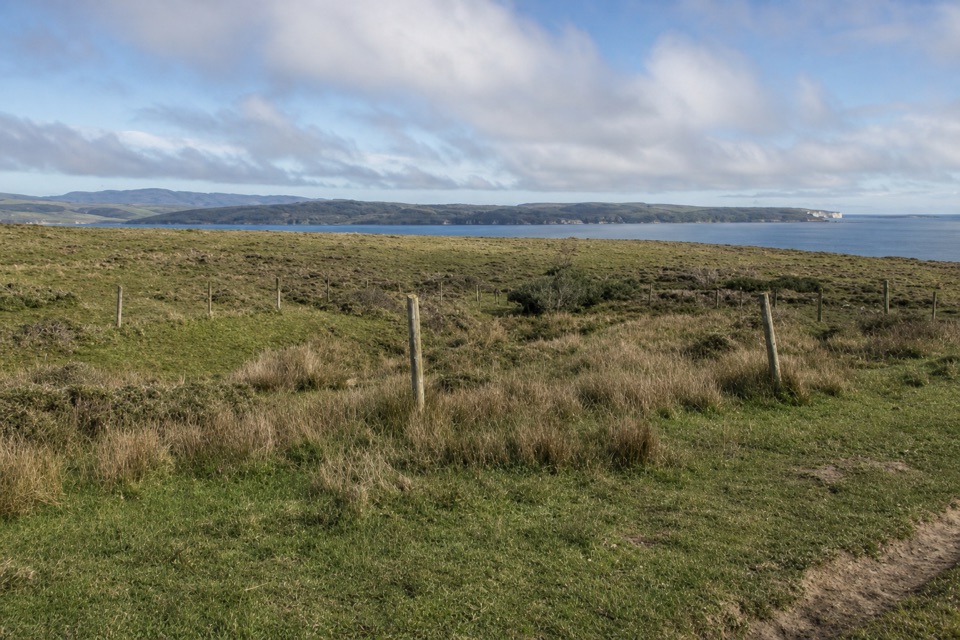
Point Reyes National Seashore, CA
A level pasture walk to the grassy edge of Drakes Estero
Overview
Map & elevation
Plan your hike

The highest, rockiest slopes around here are a summer buffet for grizzly bears.
Point Reyes Tour Guide
Parkwolf is a GPS audio tour guide for Point Reyes National Seashore. As you drive, it chimes in with what’s ahead: hidden gems, upcoming stops, history, geology, and wildlife, right through your car’s speakers.
Recorded for this area
Point Reyes Beach North“You're approaching the access road for Point Reyes Beach North; the parking lot is farther west.”
Plays on the road 0.7 mi from the trailhead in the Parkwolf Point Reyes Tour Guide.
More stories near here in the app
“Fantastic app with many points of information… It’s great to just turn on while you’re driving and it gives you an audio tour of the national Park. We love it!!!!”


Trail guide
Bull Point Trail is an easy 3.6-mile out-and-back from Sir Francis Drake Boulevard through open ranch pasture to the edge of Drakes Estero. The full distance includes returning over the same ground; the mapped route follows the outward corridor once. It is a low-mileage choice for a level coastal walk, broad estuary views, waterbirds, and pasture plants, not a hike to a sandy beach.
The old ranch-road line leaves Bull Point Trailhead, crosses grassland, and passes a small creek or seep and a cattle gate early on. It continues over an open headland, rising gently as views across the estero spread out. The tread is a grass track rather than a hard-packed path. Tall grass can hide the old line and cattle tracks can lead away from it; stay with the mapped route instead of following a faint trace toward the shore.
The trail ends at a low bluff above the water, with views across Drakes Estero and its surrounding bays. Watch for waterbirds along the shallow margins, though sightings are not guaranteed. A faint trace continues toward a narrow rocky beach, but that rough descent is not part of this mapped hike. The pasture also carries Point Reyes dairy history: schooners once took butter from Drakes Estero toward San Francisco, linking this quiet shoreline to the ranches that shaped the peninsula.
Allow about two hours. The route is flat and easy, with little total climbing, but the grass track can be uneven. Ground near the estuary can become muddy or mucky, especially after heavy winter rain. The small dirt trailhead lot has space for about ten vehicles; no restroom, drinking water, or food service was found at the access or along the route, so bring what you need. Pets are prohibited on the trail; bicycles and horses are allowed. Cattle may be present in the pasture.
Wildlife
 2,552 sightingsNorthern Elephant SealMost seen around 11 AMSighting map
 127 sightingsGrey WhaleMost seen around noonSighting map
 109 sightingsHumpback WhaleMost seen around 10 AMSighting map
 29 sightingsSteller Sea LionMost seen around noonSighting map
 203 sightingsCalifornia Sea LionMost seen around noonSighting map
 352 sightingsHarbor SealMost seen around 7 AMSighting map
Sighting maps show where each species has been reported across Point Reyes. Wildlife moves, so no sighting is guaranteed.
Keep exploring
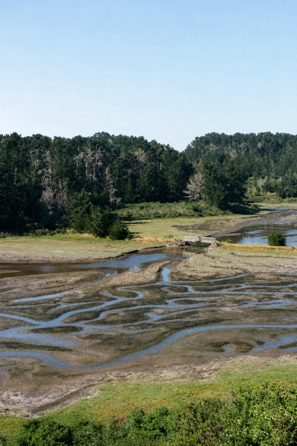 EasyEstero Trail to Home Bay2.4 mi · 1.3 hr · 2.5 mi awayA short grassland walk ends at a footbridge over Home Bay.
 ModerateDrakes Head via Estero Trail8.8 mi · 5 hr · 2.5 mi awayLong pasture miles end at a bluff above Drakes Estero.
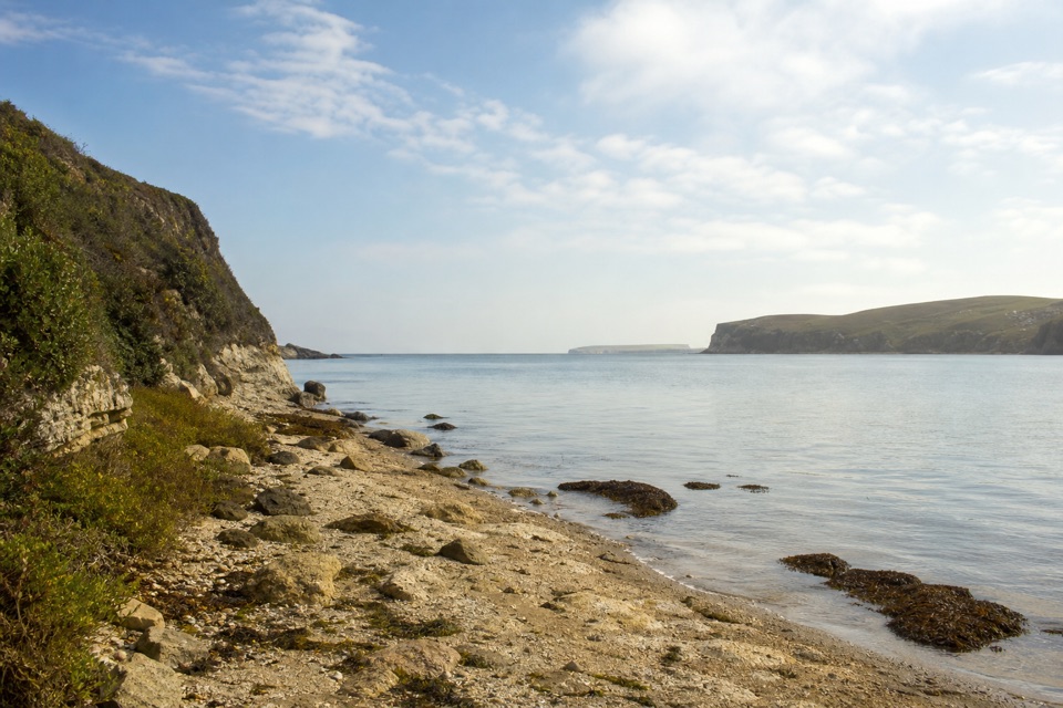 ModerateSunset Beach via Estero Trail7.8 mi · 4 hr · 2.5 mi awayEstuary views and working pasture lead to a rocky wetland shore.
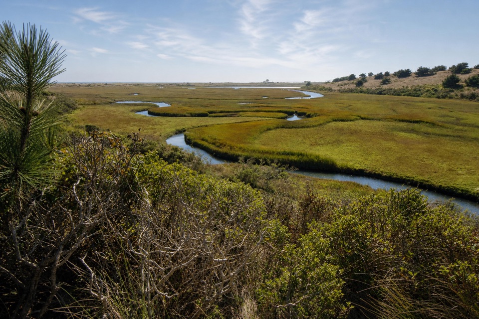 ModerateEstero–White Gate Loop11.4 mi · 5.5 hr · 2.5 mi awayTwo estuaries, marsh ponds, and a four-mile retrace.
 EasyAbbotts Lagoon Trail2.8 mi · 1.3 hr · 3.2 mi awayThree lagoons, a footbridge, and a sandy finish at Great Beach.
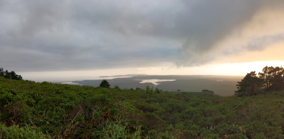 ChallengingBucklin–Muddy Hollow Road–Drakes View–Inverness Ridge Loop7.7 mi · 5 hr · 4.9 mi awayA strenuous ridge loop with wide Drakes Bay views.
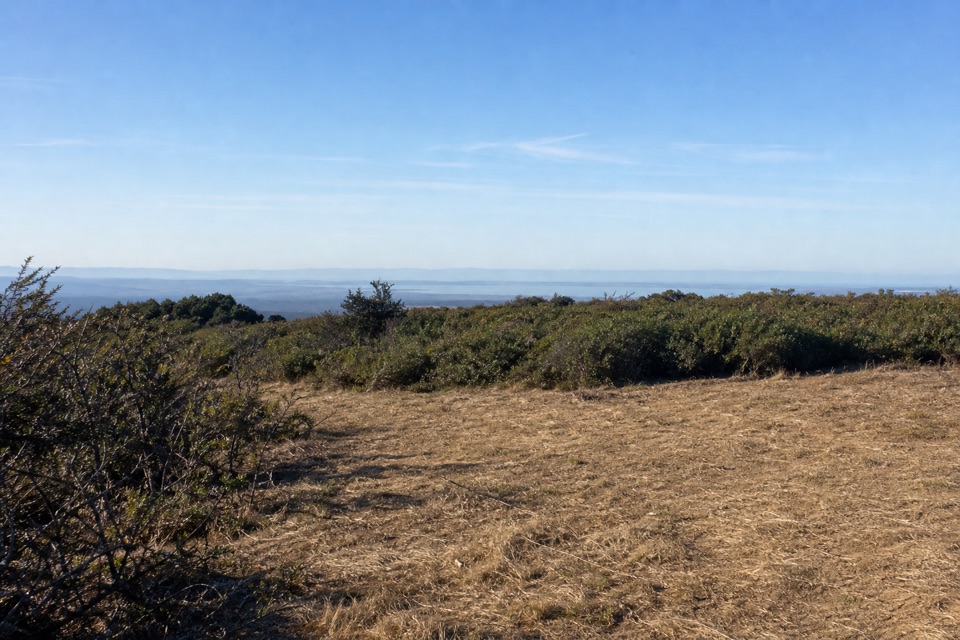 ChallengingBucklin–Muddy Hollow Road–Bayview–Inverness Ridge Loop8.6 mi · 5 hr · 4.9 mi awayAn 8.6-mile strenuous loop from ridge views into pine forest.EasyPoint Reyes Hill Trail1 mi · 30 min · 4.9 mi awayA short ridge walk ends at a bench above Drakes Bay.
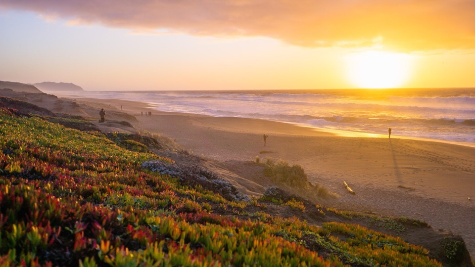 Beach · 0.9 mi awayPoint Reyes Beach NorthDrive right to the dunes for crashing Pacific surf and big sunsets
 Sight · 1.2 mi awayCypress Tree TunnelQuarter mile of 1930s Monterey cypress arched into a green tunnel
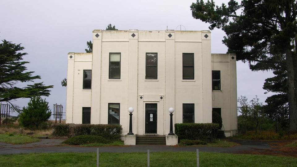 Sight · 1.2 mi awayHistoric KPH Maritime Radio Receiving StationRestored Morse code station at the end of a cypress tunnel
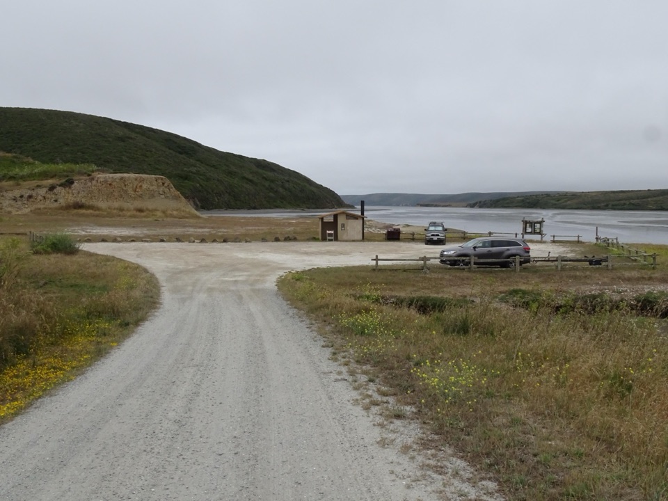 Sight · 1.6 mi awayDrakes Estero Kayak LaunchPaddle into a hushed marine wilderness of seals, rays and birds
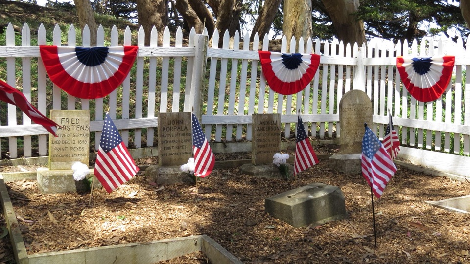 Sight · 1.8 mi awayHistoric Life-Saving Service CemeteryFour surfmen's graves behind a white picket fence in eucalyptus
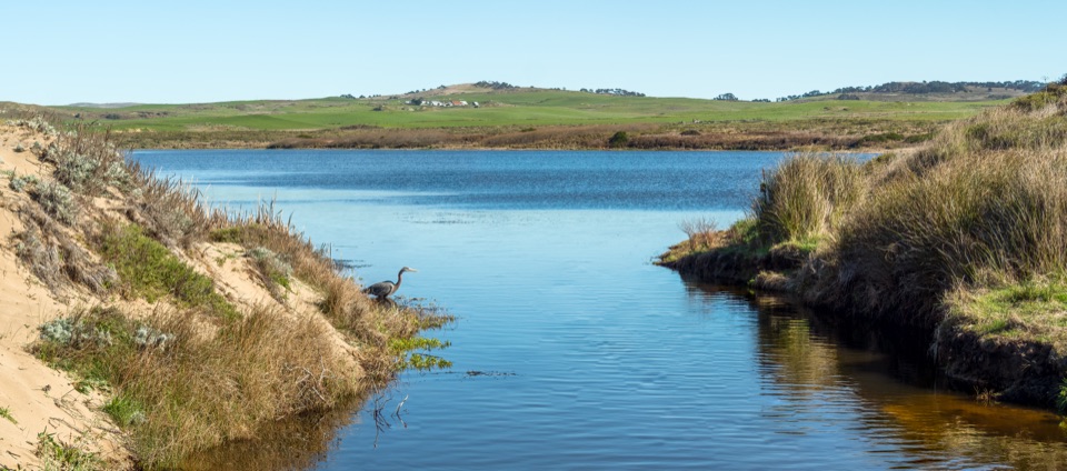 Sight · 2.6 mi awayAbbotts LagoonFlat walk past coastal lagoons and dunes to a wild ocean beach
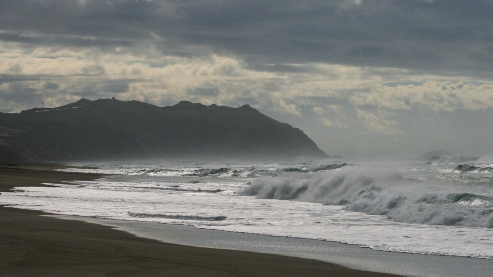 Beach · 2.7 mi awayPoint Reyes Beach SouthThundering Pacific surf, easy parking, and miles of open sand
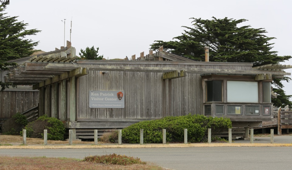 Visitor center · 3.7 mi awayKenneth C. Patrick Visitor CenterMinke whale skeleton overhead, maritime exhibits steps from Drakes Beach
Parkwolf’s Point Reyes ranking

The audio tour guide for the drive, plus offline maps, trails, and wildlife heatmaps for when the signal drops.



