Parking
From Sir Francis Drake Boulevard, follow Home Ranch Road to Estero Trailhead. Dirt-and-gravel parking and a vault toilet are at the trailhead.
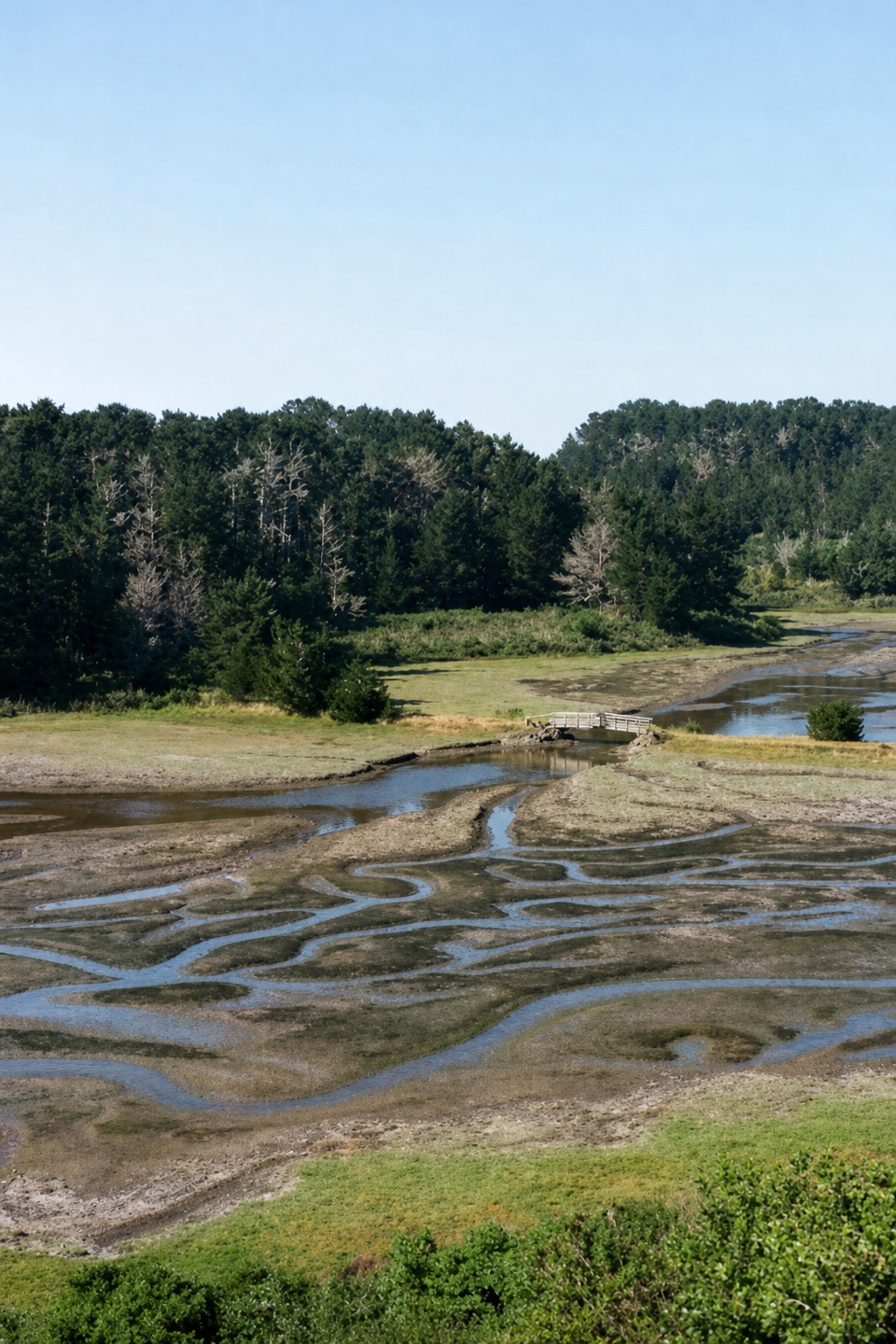
Point Reyes National Seashore, CA
A short grassland walk ends at a footbridge over Home Bay.
Overview
Benches beside the bridge make a good place to pause before turning back. The bay is bird habitat, and bat rays or leopard sharks may sometimes be visible in the water; they are a possibility, not a promised sighting. The channels and mudflats look different as the tide changes. If you want a longer walk, the Sunset Beach junction is about 5 miles round trip, Sunset Beach is 7.8 miles, and Drakes Head is 8.8 miles; those are extensions, not part of this short outing.
 Parkwolf’s verdictThe bridge is the payoff
Map & elevation
Plan your hike

The highest, rockiest slopes around here are a summer buffet for grizzly bears.
Point Reyes Tour Guide
Parkwolf is a GPS audio tour guide for Point Reyes National Seashore. As you drive, it chimes in with what’s ahead: hidden gems, upcoming stops, history, geology, and wildlife, right through your car’s speakers.
Recorded for this trailhead
Estero Trailhead and Home Bay“Up ahead is Estero Trailhead. For a short estuary walk, follow the grassland path past an abandoned Christmas-tree farm to the Home Bay bridge, two point four miles round trip; allow about an hour.”
Plays as you drive up to this trailhead in the Parkwolf Point Reyes Tour Guide.
More stories near here in the app
“Fantastic app with many points of information… It’s great to just turn on while you’re driving and it gives you an audio tour of the national Park. We love it!!!!”


Trail guide
The Estero Trail to Home Bay is a 2.4-mile out-and-back from Estero Trailhead to the footbridge at Home Bay. Plan on about 45 to 90 minutes, with a little extra time to sit at the bridge. It is a small, satisfying estuary walk, not a loop and not the longer hike to Sunset Beach or Drakes Head.
The trail follows Estero Trail over open grassland and through the remains of an abandoned Christmas-tree farm. The first mile is mostly flat, on short grass and packed dirt, though ruts and animal holes break up the smooth stretches. Near the bay, the footbridge crosses the breach in a ranch dam that once held a stock pond. The dam was later opened, and fresh water meets the tidal estuary below the bridge.
Reach Estero Trailhead from Sir Francis Drake Boulevard via Home Ranch Road. There is dirt-and-gravel parking and a vault toilet at the trailhead. The route is listed for year-round use and does not require a reservation. Dogs are not allowed on Estero Trail. Heavy winter rain can leave parts of the path flooded or muddy; spring winds and summer fog are common along this coast.
Wildlife
 2,552 sightingsNorthern Elephant SealMost seen around 11 AMSighting map
 127 sightingsGrey WhaleMost seen around noonSighting map
 109 sightingsHumpback WhaleMost seen around 10 AMSighting map
 29 sightingsSteller Sea LionMost seen around noonSighting map
 203 sightingsCalifornia Sea LionMost seen around noonSighting map
 352 sightingsHarbor SealMost seen around 7 AMSighting map
Sighting maps show where each species has been reported across Point Reyes. Wildlife moves, so no sighting is guaranteed.
Keep exploring
 ModerateDrakes Head via Estero Trail8.8 mi · 5 hr · At the trailheadLong pasture miles end at a bluff above Drakes Estero.
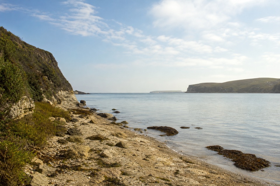 ModerateSunset Beach via Estero Trail7.8 mi · 4 hr · At the trailheadEstuary views and working pasture lead to a rocky wetland shore.
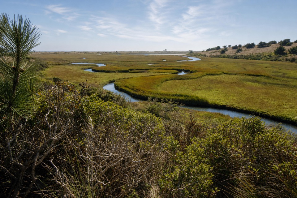 ModerateEstero–White Gate Loop11.4 mi · 5.5 hr · At the trailheadTwo estuaries, marsh ponds, and a four-mile retrace.
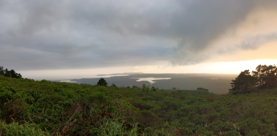 ChallengingBucklin–Muddy Hollow Road–Drakes View–Inverness Ridge Loop7.7 mi · 5 hr · 2.4 mi awayA strenuous ridge loop with wide Drakes Bay views.
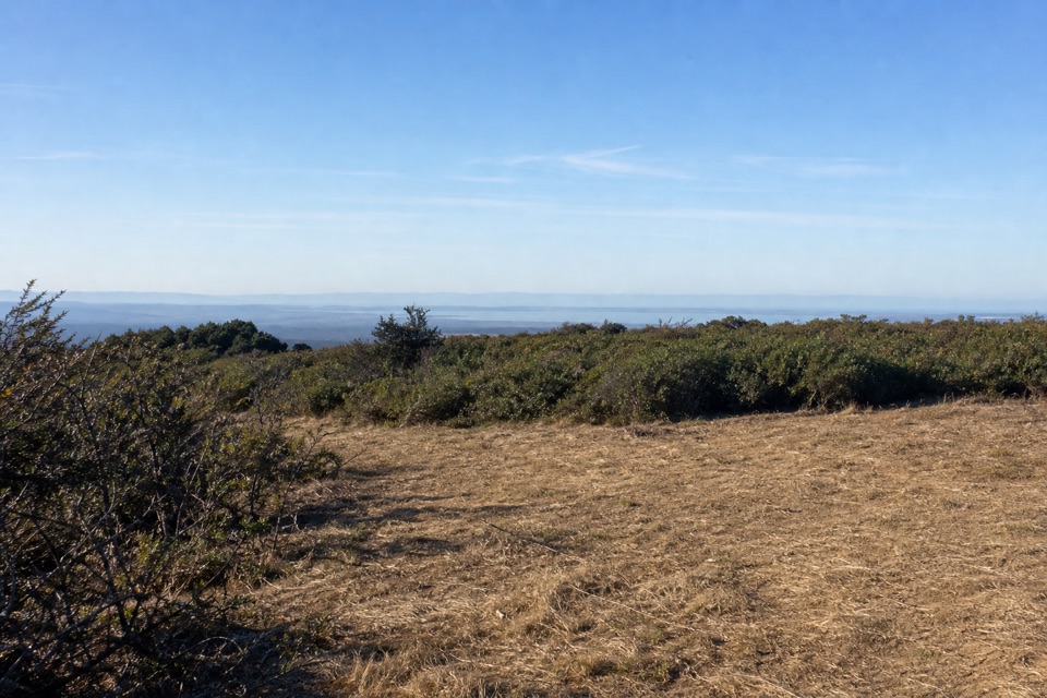 ChallengingBucklin–Muddy Hollow Road–Bayview–Inverness Ridge Loop8.6 mi · 5 hr · 2.4 mi awayAn 8.6-mile strenuous loop from ridge views into pine forest.EasyPoint Reyes Hill Trail1 mi · 30 min · 2.4 mi awayA short ridge walk ends at a bench above Drakes Bay.
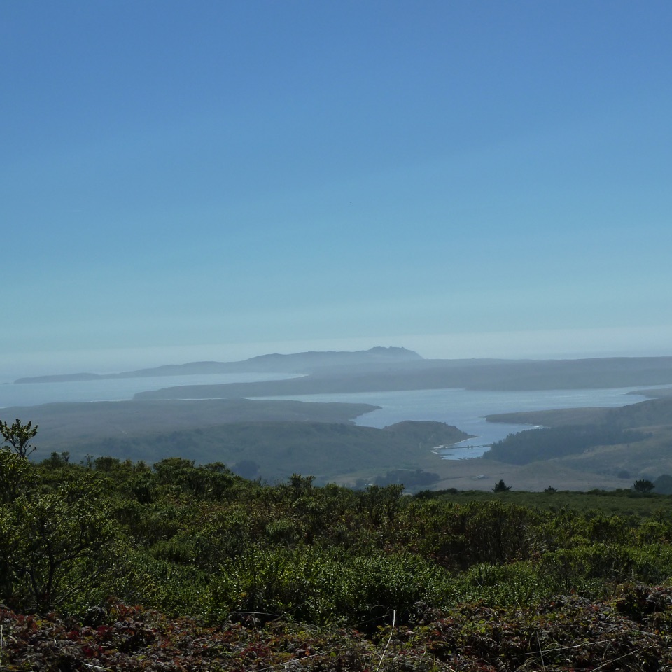 ModerateInverness Ridge Trail3.2 mi · 1.8 hr · 2.4 mi awayA quiet ridge crossing opens toward Drakes Estero and the Pacific.
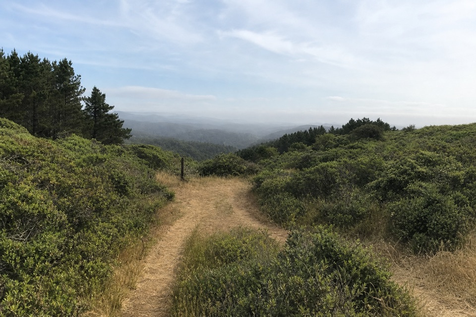 ModerateBucklin Trail5.4 mi · 3.5 hr · 2.4 mi awayA ridge connector with ocean views from Limantour to Chimney Rock.
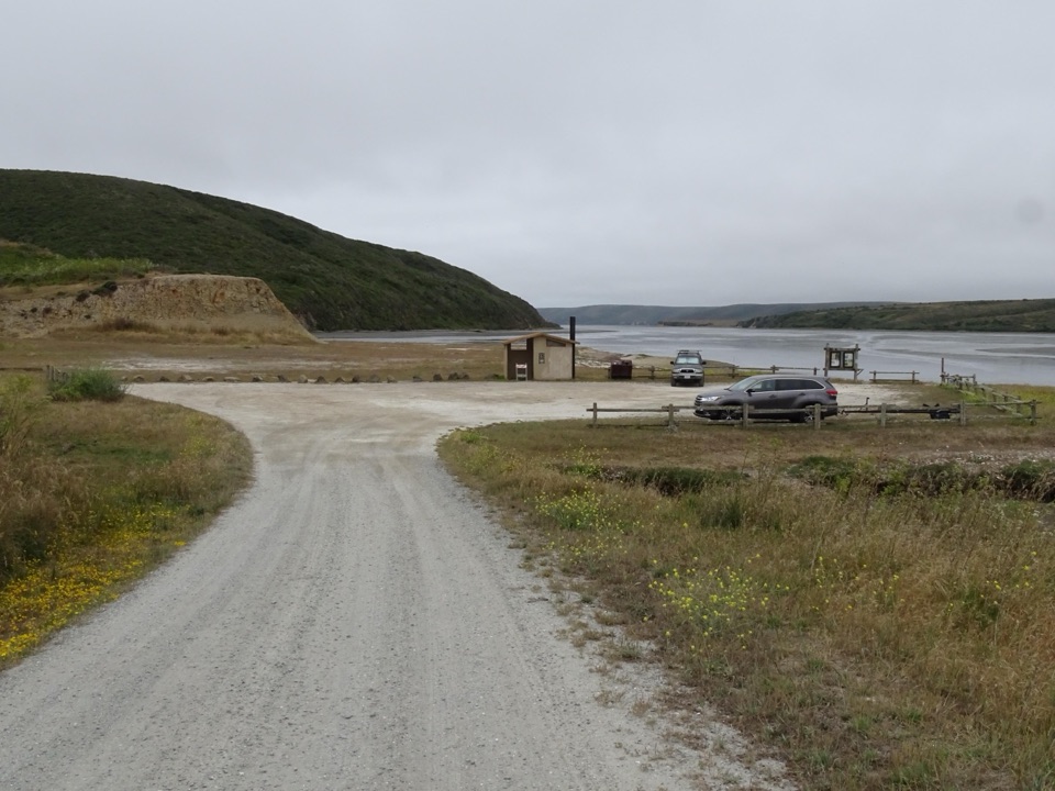 Sight · 1 mi awayDrakes Estero Kayak LaunchPaddle into a hushed marine wilderness of seals, rays and birds
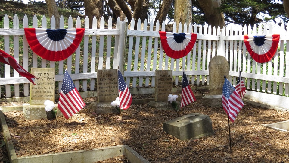 Sight · 1.3 mi awayHistoric Life-Saving Service CemeteryFour surfmen's graves behind a white picket fence in eucalyptus
 Sight · 1.9 mi awayCypress Tree TunnelQuarter mile of 1930s Monterey cypress arched into a green tunnel
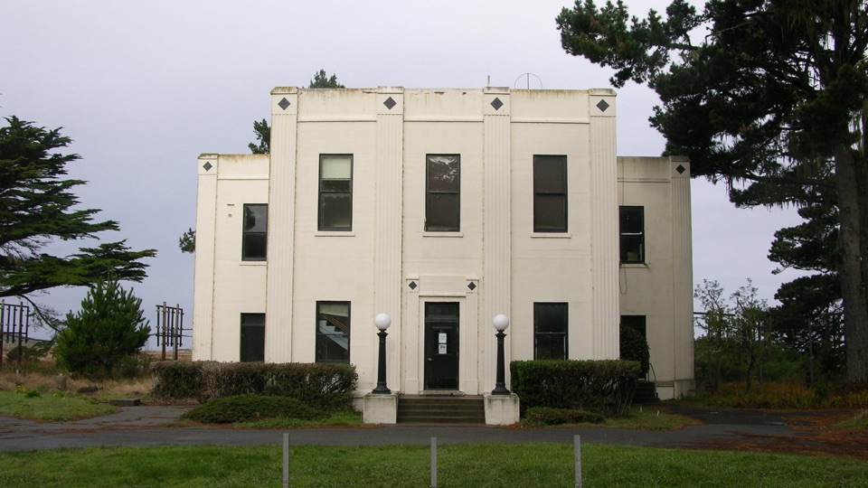 Sight · 2.1 mi awayHistoric KPH Maritime Radio Receiving StationRestored Morse code station at the end of a cypress tunnel
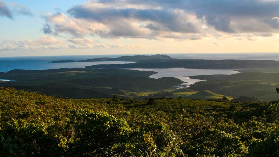 Sight · 2.2 mi awayMount VisionDrive-up peak with panoramic views over esteros, headlands and ocean
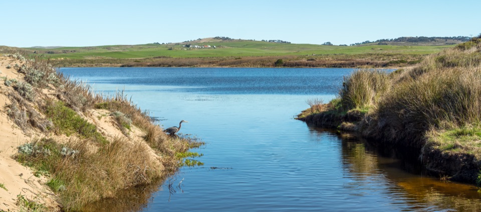 Sight · 3.1 mi awayAbbotts LagoonFlat walk past coastal lagoons and dunes to a wild ocean beach
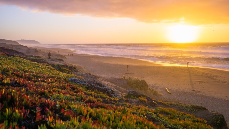 Beach · 3.4 mi awayPoint Reyes Beach NorthDrive right to the dunes for crashing Pacific surf and big sunsets
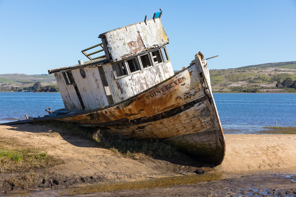 Sight · 3.6 mi awayPoint Reyes ShipwreckCollapsing wooden fishing boat settled into Tomales Bay mudflats
Parkwolf’s Point Reyes ranking
The audio tour guide for the drive, plus offline maps, trails, and wildlife heatmaps for when the signal drops.




