Bucklin–Muddy Hollow Road–Drakes View–Inverness Ridge Loop in Point Reyes National Seashore

Point Reyes National Seashore, CA

Bucklin–Muddy Hollow Road–Drakes View–Inverness Ridge Loop

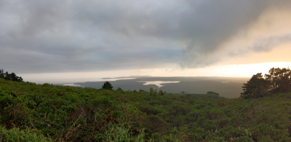
A strenuous ridge loop with wide Drakes Bay views.

Photo: Wikimedia Commons
Length
7.7mi
Time
5hr
Elev. change
1,175ft
Difficulty
Challenging
  • Loop
  • No dogs
  • High point 1,329 ft

Hear the audio tour

The Beaver Without a Pond

Overview

About Bucklin–Muddy Hollow Road–Drakes View–Inverness Ridge Loop

Why go

  • A bench with early views over Drakes Bay
  • A varied loop from open grassland through pine forest

Heads up

  • NPS rates the full 7.7 miles strenuous
  • Winter rain can flood the low route

Map & elevation

The route

Loading the Point Reyes map
Full map
Elevation154–1,329 ft
TrailheadPoint Reyes Hill Trailhead38.08395, -122.87070
Keep this map with you offline in the Parkwolf app

Plan your hike

Before you go

Parking

Point Reyes Hill Trailhead, at the south end of Mount Vision Road, 3.8 miles from Sir Francis Drake Boulevard. The dirt lot holds about 30 vehicles. Mount Vision Road is narrow, two-way, and sharply winding; vehicles over 24 feet and vehicles towing trailers are prohibited.


Safety

NPS rates the loop strenuous. Heavy winter rain can flood the section between Muddy Hollow Road and Drakes View. Pets are not permitted on trails from this trailhead.

4 active Point Reyes alerts

  • ClosureOld Tocaloma/Platform Bridge closed to vehiclesDo not drive across the Old Tocaloma/Platform Bridge; it is closed to all vehicular traffic until further notice.Official details
  • ClosurePalomarin Beach Trail closedPalomarin Beach Trail is closed to all visitors, employees, and residents until further notice; do not use the trail. - The trail is closed because unstable and failing sections have made it unsafe.Official details
See all 4 alerts
A park ranger sits on a dash-mounted phone, talking, as Parkwolf’s Tour Guide plays “Army Cutworm Moths: A Grizzly Bear Buffet” on Grand Loop Road below Dunraven Pass in Yellowstone
Parkwolf Tour GuideThe highest, rockiest slopes around here are a summer buffet for grizzly bears.

Point Reyes Tour Guide

Your drive to Bucklin–Muddy Hollow Road–Drakes View–Inverness Ridge Loop, narrated.

Parkwolf is a GPS audio tour guide for Point Reyes National Seashore. As you drive, it chimes in with what’s ahead: hidden gems, upcoming stops, history, geology, and wildlife, right through your car’s speakers.

Recorded for this area

The Beaver Without a Pond
0:00 / 0:29
“Despite its name, the Point Reyes mountain beaver doesn't build dams. It's a short-tailed, burrowing rodent, and the subspecies here lives nowhere else.”

Plays on the road 0.3 mi from the trailhead in the Parkwolf Point Reyes Tour Guide.

More stories near here in the app

  • Mount Vision Overlook
  • The Forest's Slow Recycler
  • Point Reyes Shipwreck
  • Why Inverness Sounds Scottish
  • 61 audio storiesacross Point Reyes’s roads, triggered by GPS as you drive
  • Wildlife heatmapsfor Northern Elephant Seal, Grey Whale, Humpback Whale, and 13 more
  • Works offlinemaps, 65 trails, 41 places, and audio download before you lose signal
  • CarPlay readysimple controls built for the drive
★★★★★
“Fantastic app with many points of information… It’s great to just turn on while you’re driving and it gives you an audio tour of the national Park. We love it!!!!”
JMJamesApp Store review
Download Parkwolf on the App StoreGet Parkwolf on Google Play

4.7 from 8,600+ ratings

Trail guide

Hiking Bucklin–Muddy Hollow Road–Drakes View–Inverness Ridge Loop

A full ridge loopThis 7.

This 7.7-mile loop starts and finishes at Point Reyes Hill Trailhead: down Bucklin, across Muddy Hollow Road, up Drakes View, and back along Inverness Ridge. The National Park Service rates it strenuous. Allow about five hours for the route’s climbs and descent; this is a half-day hike, not a quick viewpoint walk.

Coast views, then pine forestBucklin climbs to a bench with views over Limantour Beach and Drakes Bay, then drops through…

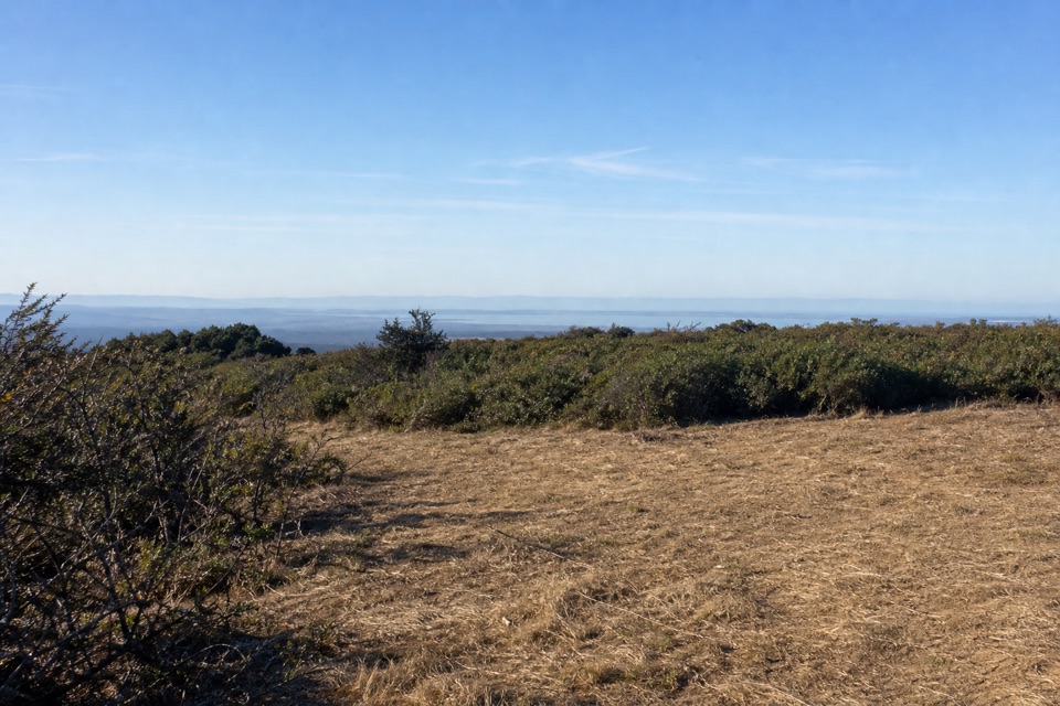
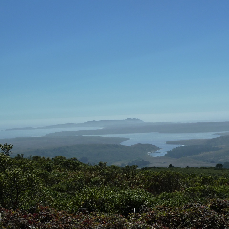
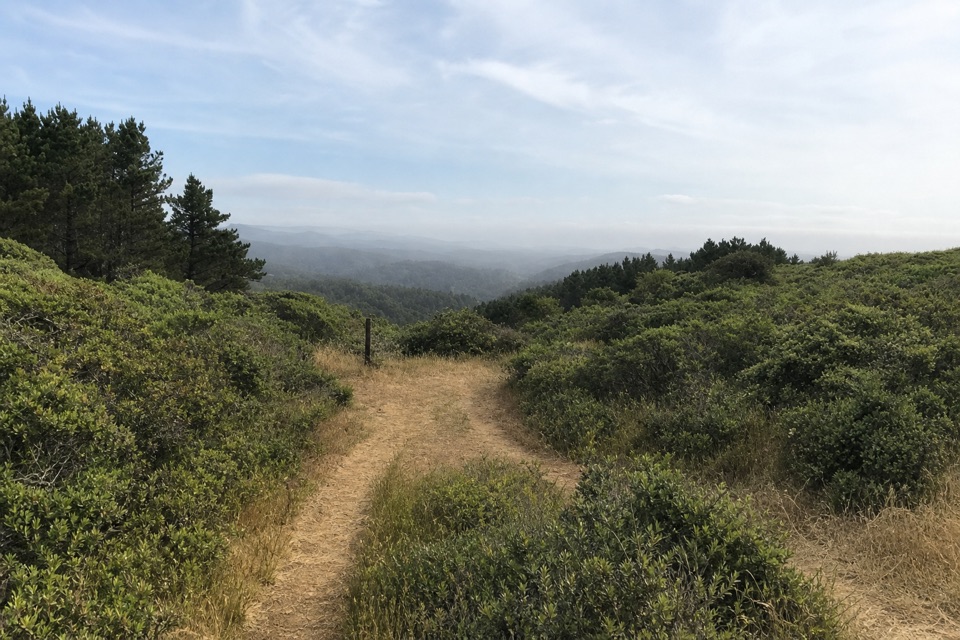
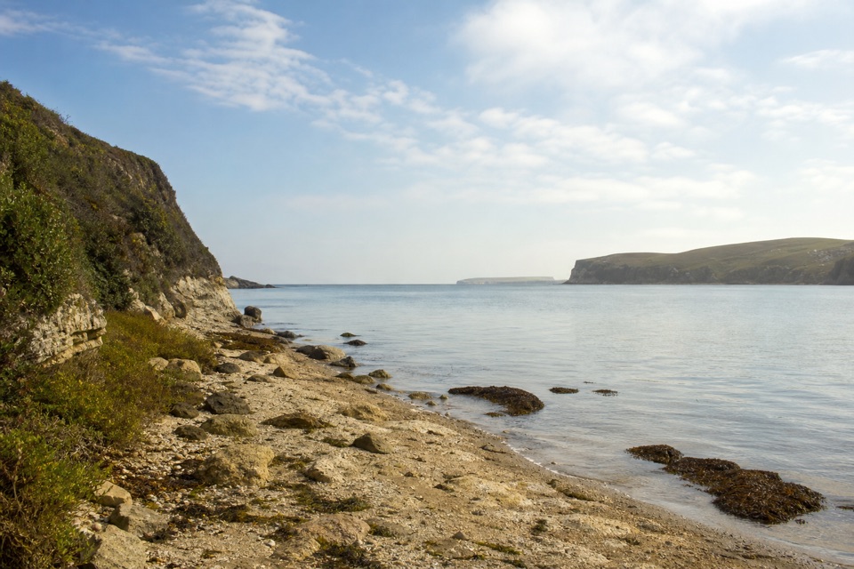
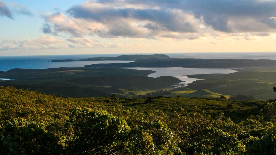
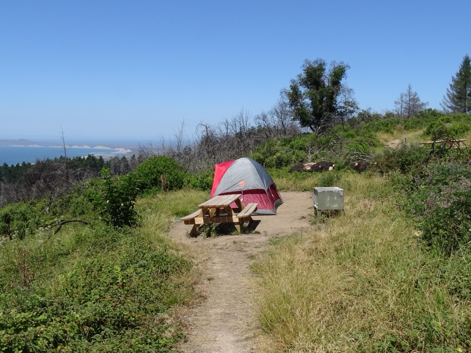
Bucklin climbs to a bench with views over Limantour Beach and Drakes Bay, then drops through open grassland into Bishop pine and Douglas-fir. The 1995 Vision Fire reshaped these slopes. Bishop pines filled much of Drakes View, so the bay appears only through occasional gaps there. On the final Inverness Ridge stretch, look back toward Point Reyes Hill and north toward Tomales Bay and Mount St. Helena.

Getting to the startBegin at the small dirt lot at the south end of Mount Vision Road; it has space for about 30…

Begin at the small dirt lot at the south end of Mount Vision Road; it has space for about 30 vehicles. The road is narrow, two-way, and full of sharp switchbacks. Vehicles over 24 feet and vehicles towing trailers are prohibited. Pets aren’t allowed on trails from this trailhead. Heavy winter rain can flood the route between Muddy Hollow Road and Drakes View; the park advises avoiding it after significant rain or expecting wet feet. The official trailhead listing names parking, but not water or restrooms.

Wildlife

Wildlife in Point Reyes

All Point Reyes wildlife maps

Sighting maps show where each species has been reported across Point Reyes. Wildlife moves, so no sighting is guaranteed.

Keep exploring

Near Bucklin–Muddy Hollow Road–Drakes View–Inverness Ridge Loop

See it all on the map

Trails that start nearby

Places near the trailhead

Parkwolf’s Point Reyes ranking

Top-rated trails in Point Reyes

All 65 trails
  1. 1Tomales Point TrailChallenging · 9.5 mi
  2. 2Alamere Falls via Palomarin and Wildcat BeachChallenging · 13.2 mi
  3. 3Chimney Rock TrailEasy · 1.8 mi
  4. 4Abbotts Lagoon TrailEasy · 2.8 mi
  5. 5Bear Valley Trail to Miller PointModerate · 9 mi
  6. 6Drakes Head via Estero TrailModerate · 8.8 mi

Take Parkwolf to Point Reyes.

The audio tour guide for the drive, plus offline maps, trails, and wildlife heatmaps for when the signal drops.

4.7 from 8,600+ ratings

Download Parkwolf on the App StoreGet Parkwolf on Google Play