Parking
Park along C Street in Point Reyes Station and walk to the trail entrance at C Street and Third Street.
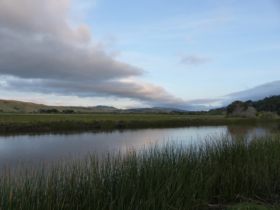
Point Reyes National Seashore, CA
A short wetlands loop to a barn, bay views and birdlife.
Overview
Map & elevation
Plan your hike

The highest, rockiest slopes around here are a summer buffet for grizzly bears.
Point Reyes Tour Guide
Parkwolf is a GPS audio tour guide for Point Reyes National Seashore. As you drive, it chimes in with what’s ahead: hidden gems, upcoming stops, history, geology, and wildlife, right through your car’s speakers.
Recorded for this area
Bovine Bakery in Point Reyes Station“You're nearing Bovine Bakery in Point Reyes Station, a handy stop for handmade pastries and strong drip coffee. I'd choose a morning bun: flaky outside, soft in the center, and one of the bakery's best-known treats.”
Plays on the road 0.1 mi from the trailhead in the Parkwolf Point Reyes Tour Guide.
More stories near here in the app
“Fantastic app with many points of information… It’s great to just turn on while you’re driving and it gives you an audio tour of the national Park. We love it!!!!”


Trail guide
Giacomini Barn Loop is about 0.5 miles from C Street and Third Street in Point Reyes Station, including the walk in and back on a shared access path. It is an easy birding walk, not a substantial hike; allow around 20–30 minutes with time to pause. The route skirts the upper edge of the restored Giacomini Wetlands and is nearly level.
The old white barn at the grassland edge gives the loop a clear destination. Look for barn swallows around it. A short walk from the barn, two pairs of park benches face Tomales Bay; scan the wetlands for egrets and herons, with a bald eagle as a less certain bonus. The setting has a story too: in 2008, about 550 acres of dairy pasture were returned to marsh.
Park along C Street, then follow the path to the C Street and Third Street entrance. Dogs are allowed on trails in the Giacomini Wetlands but must stay leashed. This is a good short stop when you want to stretch your legs or watch birds without committing to a longer Point Reyes hike.
Wildlife
 2,552 sightingsNorthern Elephant SealMost seen around 11 AMSighting map
 127 sightingsGrey WhaleMost seen around noonSighting map
 109 sightingsHumpback WhaleMost seen around 10 AMSighting map
 29 sightingsSteller Sea LionMost seen around noonSighting map
 203 sightingsCalifornia Sea LionMost seen around noonSighting map
 352 sightingsHarbor SealMost seen around 7 AMSighting map
Sighting maps show where each species has been reported across Point Reyes. Wildlife moves, so no sighting is guaranteed.
Keep exploring
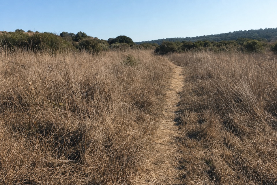 EasyOlema Marsh Trail0.5 mi · 30 min · 0.5 mi awayA short, level look across the Olema marsh.
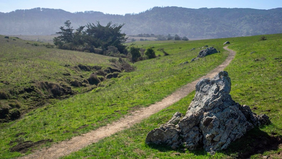 EasyTomales Bay Trail2.6 mi · 1.5 hr · 1.4 mi awayPasture paths open onto Tomales Bay and restored wetlands.
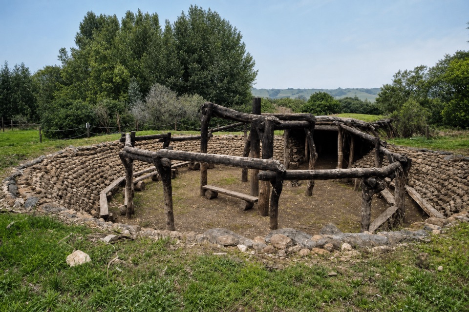 EasyKule Loklo Trail0.8 mi · 30 min · 1.8 mi awayA short climb ends at a Coast Miwok village replica
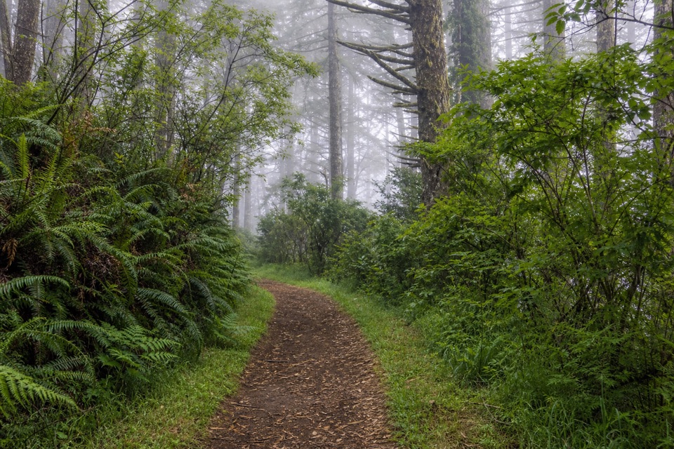 ModerateSky–Z Ranch Loop4.1 mi · 2.5 hr · 1.9 mi awayA shaded forest circuit with a Pacific glimpse when fog lifts.
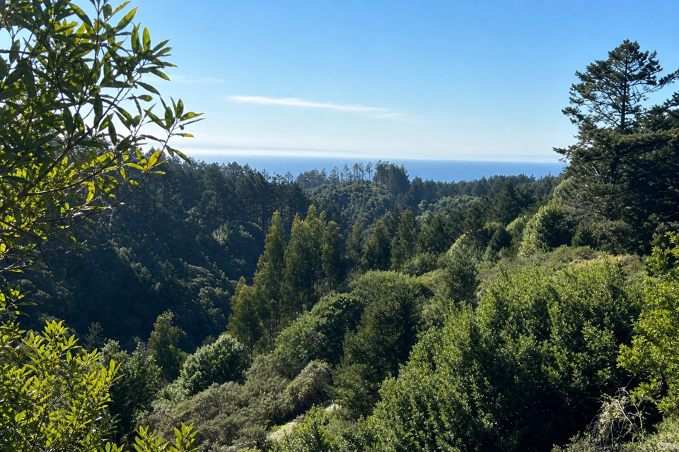 ModerateMount Wittenberg from Sky Trailhead5 mi · 2.5 hr · 1.9 mi awayThe forested high point hides summit views; the return finds the Pacific.
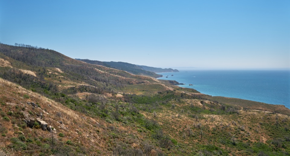 ChallengingSky–Woodward Valley–Fire Lane Loop9.5 mi · 5 hr · 1.9 mi awayA steep ridge-to-coast loop with big ocean views off Woodward Valley.
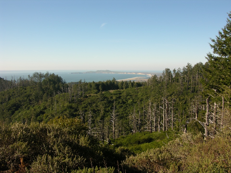 ModerateSky Trail to Sky Camp2.8 mi · 2 hr · 1.9 mi awayA short uphill forest walk ends above Drakes Bay.
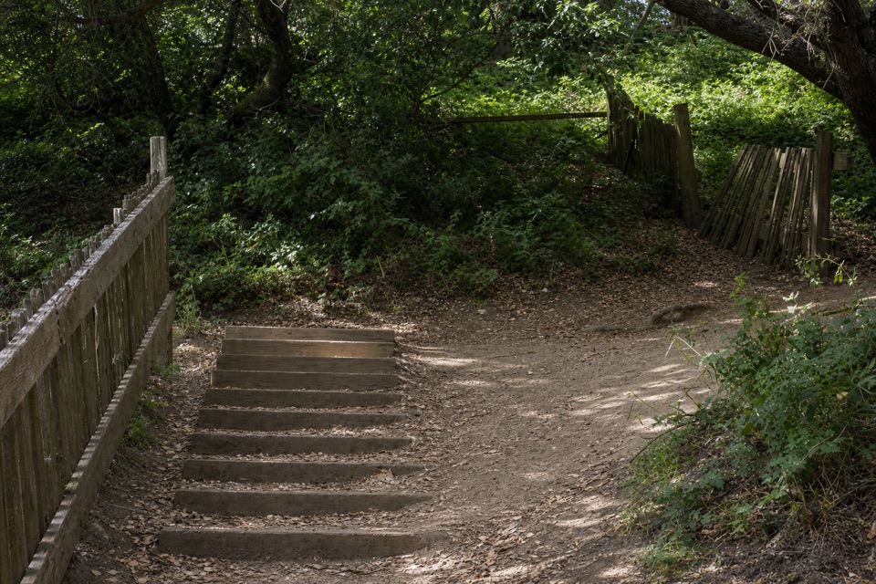 EasyEarthquake Trail0.6 mi · 36 min · 1.9 mi awayA split fence makes the 1906 quake’s movement tangible.
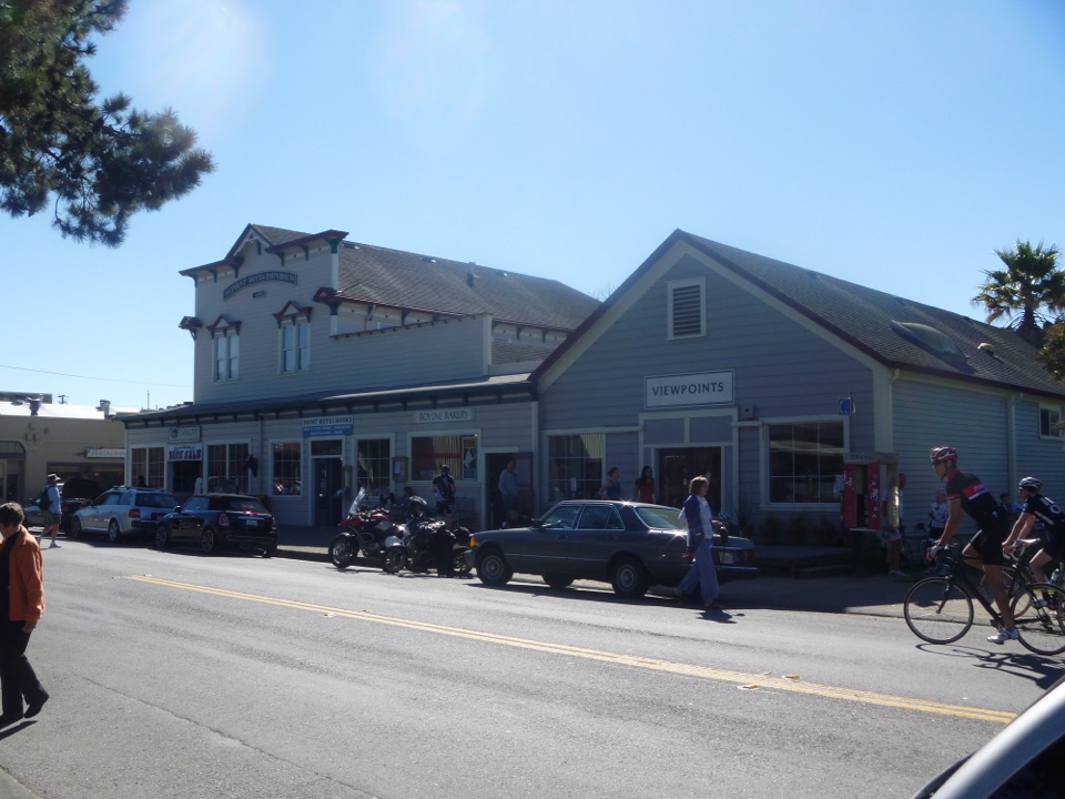 Food · 0.1 mi awayBovine BakeryMorning buns, almond croissants, and strong drip coffee
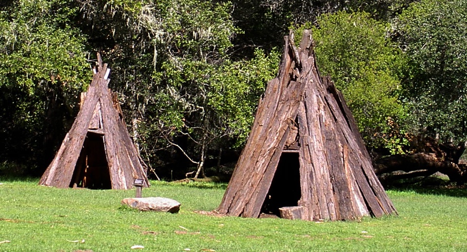 Sight · 1.5 mi awayKule LokloA replica Coast Miwok village with a round house and acorn granaries
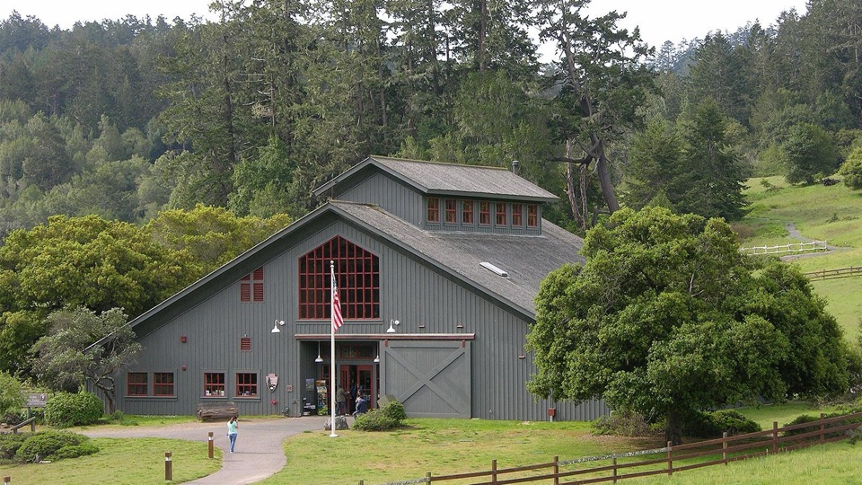 Visitor center · 1.8 mi awayBear Valley Visitor CenterBarn-style orientation hub where a life-size elephant seal greets you
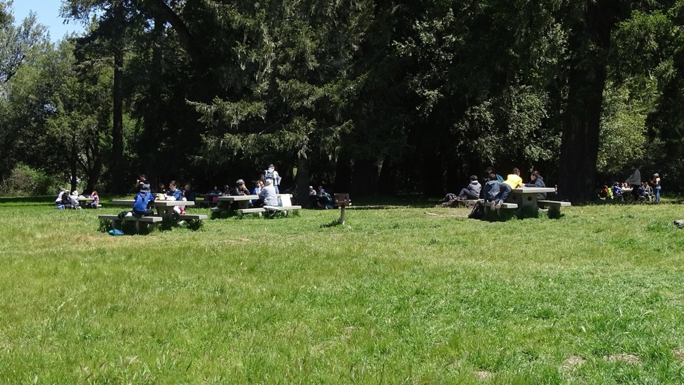 Picnic area · 1.9 mi awayBear Valley Picnic AreaTwenty-five shaded tables, charcoal grills, and room for big groups
 Sight · 1.9 mi awayMorgan Horse RanchWorking park horses and ranch history on a short hillside walk
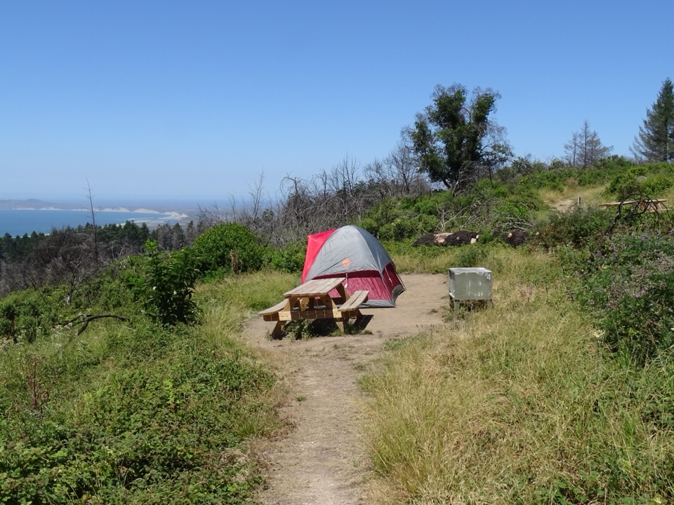 Campground · 2.2 mi awaySky CampgroundHike-in ridgetop tent sites with sweeping Drakes Bay and ocean views
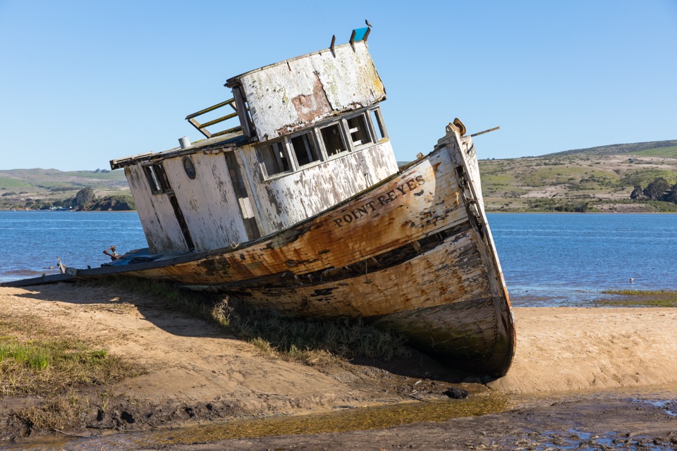 Sight · 3.2 mi awayPoint Reyes ShipwreckCollapsing wooden fishing boat settled into Tomales Bay mudflats
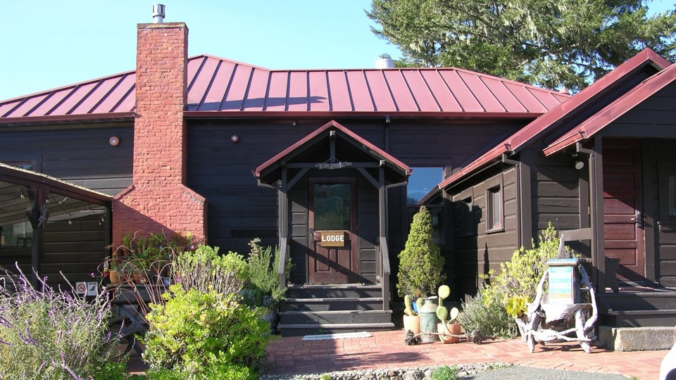 Lodging · 3.4 mi awayLimantour LodgePark's only roofed lodging, tucked in a valley near Limantour Beach
Parkwolf’s Point Reyes ranking

The audio tour guide for the drive, plus offline maps, trails, and wildlife heatmaps for when the signal drops.





