Parking
Use the unpaved Tomales Bay Trailhead lot immediately west of Highway 1, 1.2 miles north of the Point Reyes–Petaluma Road junction; it holds about 15 vehicles.
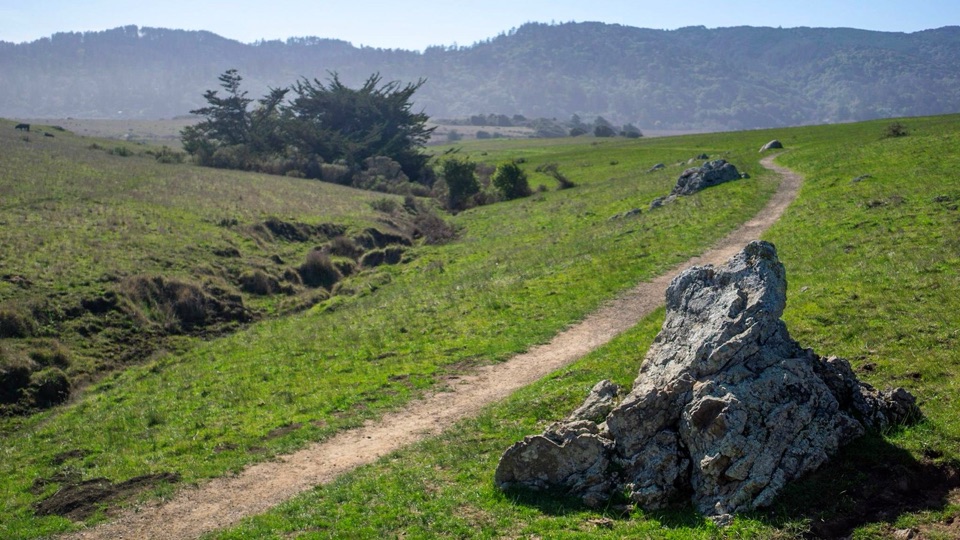
Point Reyes National Seashore, CA
Pasture paths open onto Tomales Bay and restored wetlands.
Overview
Map & elevation
Plan your hike

The highest, rockiest slopes around here are a summer buffet for grizzly bears.
Point Reyes Tour Guide
Parkwolf is a GPS audio tour guide for Point Reyes National Seashore. As you drive, it chimes in with what’s ahead: hidden gems, upcoming stops, history, geology, and wildlife, right through your car’s speakers.
Recorded for this area
A Seal on Shore“If you spot a harbor seal lying on a Point Reyes beach, its time ashore may be exactly what it needs. These small, often spotted seals haul out to rest, warm up, molt, and nurse pups.”
Plays on the road 0.6 mi from the trailhead in the Parkwolf Point Reyes Tour Guide.
More stories near here in the app
“Fantastic app with many points of information… It’s great to just turn on while you’re driving and it gives you an audio tour of the national Park. We love it!!!!”


Trail guide
Tomales Bay Trail is an easy 2.6-mile round-trip out-and-back from the Highway 1 trailhead, crossing grazed pasture to the edge of Giacomini Wetlands. It passes two stock ponds, climbs over a bluff and opens to Tomales Bay and the restored marsh. Allow about 90 minutes at a relaxed pace, with time to pause where birds gather.
The route begins on a broad dirt two-track, then crosses open grassland and cattle-gate crossings. Close each gate behind you; cattle graze here. After the ponds, the path climbs the bluff, a brief rise rather than a long sustained ascent. At the top, the bay fills the westward view. Farther along, the trail reaches the edge of the wetlands, where shallow flats meet the water. The scenery shifts from pasture to pond edge to marsh, though most of the walk stays in open field. Tomales Bay occupies a submerged rift of the San Andreas Fault, and Inverness Ridge rises on the far side.
Walk out to the wetland edge and return along the same trail. The mapped line follows the outbound corridor once, which is the usual way to draw an out-and-back. Keep to the established tread near the marsh and give grazing animals room. Birdlife is one of the walk’s rewards, but sightings vary with season and conditions.
The unpaved trailhead lot sits immediately west of Highway 1, 1.2 miles north of the Point Reyes–Petaluma Road junction, and holds about 15 vehicles. The route is easy overall, with one brief bluff climb. Leashed pets and horses are allowed; bicycles are not. Close every gate behind you so cattle stay in their pasture.
Wildlife
 2,552 sightingsNorthern Elephant SealMost seen around 11 AMSighting map
 127 sightingsGrey WhaleMost seen around noonSighting map
 109 sightingsHumpback WhaleMost seen around 10 AMSighting map
 29 sightingsSteller Sea LionMost seen around noonSighting map
 203 sightingsCalifornia Sea LionMost seen around noonSighting map
 352 sightingsHarbor SealMost seen around 7 AMSighting map
Sighting maps show where each species has been reported across Point Reyes. Wildlife moves, so no sighting is guaranteed.
Keep exploring
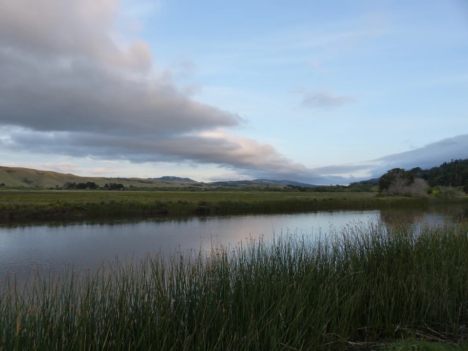 EasyGiacomini Barn Loop0.5 mi · 24 min · 1.4 mi awayA short wetlands loop to a barn, bay views and birdlife.
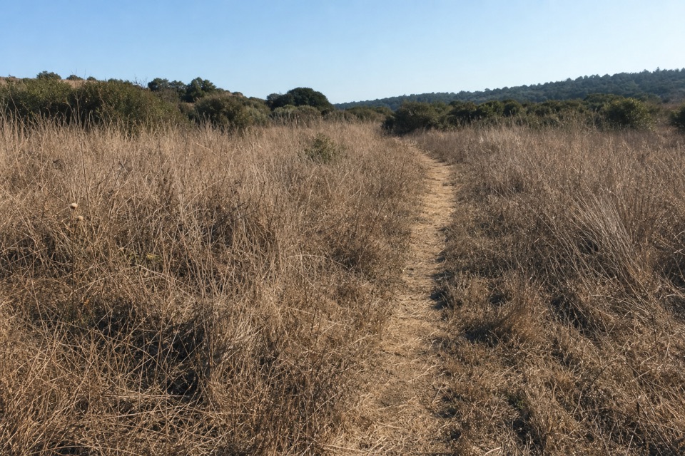 EasyOlema Marsh Trail0.5 mi · 30 min · 1.9 mi awayA short, level look across the Olema marsh.
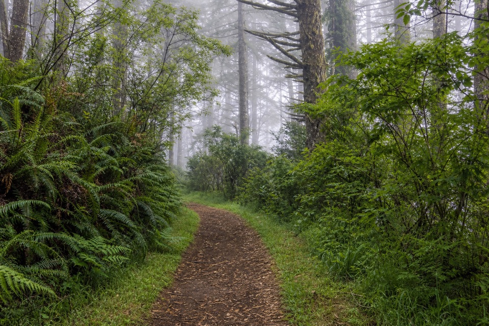 ModerateSky–Z Ranch Loop4.1 mi · 2.5 hr · 2.6 mi awayA shaded forest circuit with a Pacific glimpse when fog lifts.
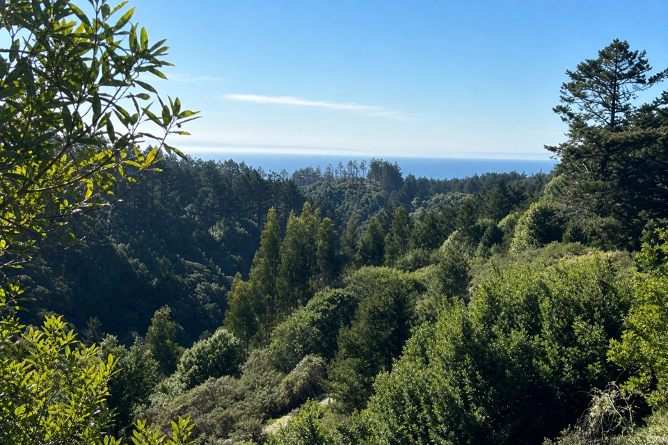 ModerateMount Wittenberg from Sky Trailhead5 mi · 2.5 hr · 2.6 mi awayThe forested high point hides summit views; the return finds the Pacific.
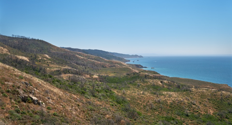 ChallengingSky–Woodward Valley–Fire Lane Loop9.5 mi · 5 hr · 2.6 mi awayA steep ridge-to-coast loop with big ocean views off Woodward Valley.
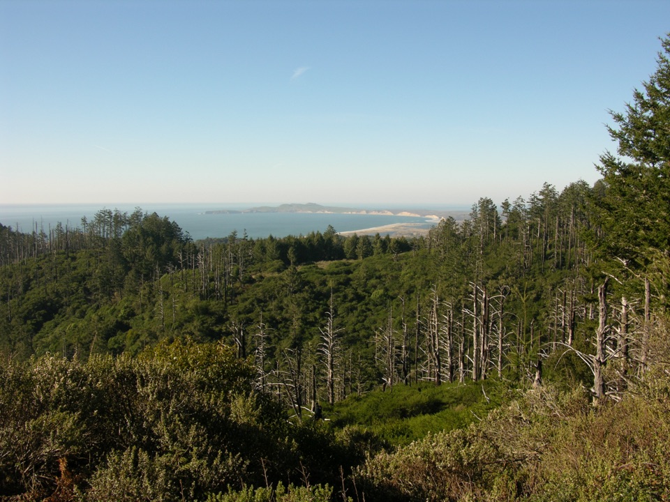 ModerateSky Trail to Sky Camp2.8 mi · 2 hr · 2.6 mi awayA short uphill forest walk ends above Drakes Bay.
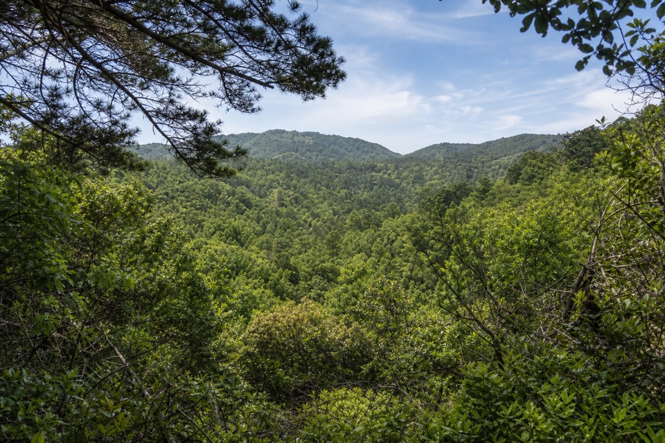 ModerateInverness Ridge–Drakes View–Bayview Loop4.9 mi · 2.8 hr · 2.8 mi awayA wooded five-mile loop with one steep, pine-soft descent.
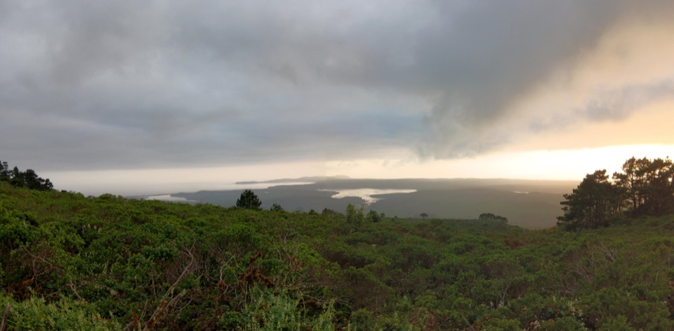 ChallengingBucklin–Muddy Hollow Road–Drakes View–Inverness Ridge Loop7.7 mi · 5 hr · 3.2 mi awayA strenuous ridge loop with wide Drakes Bay views.
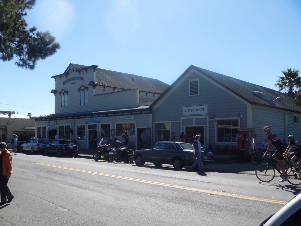 Food · 1.4 mi awayBovine BakeryMorning buns, almond croissants, and strong drip coffee
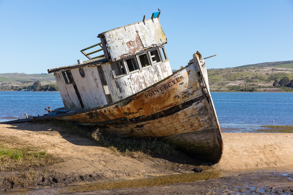 Sight · 2.2 mi awayPoint Reyes ShipwreckCollapsing wooden fishing boat settled into Tomales Bay mudflats
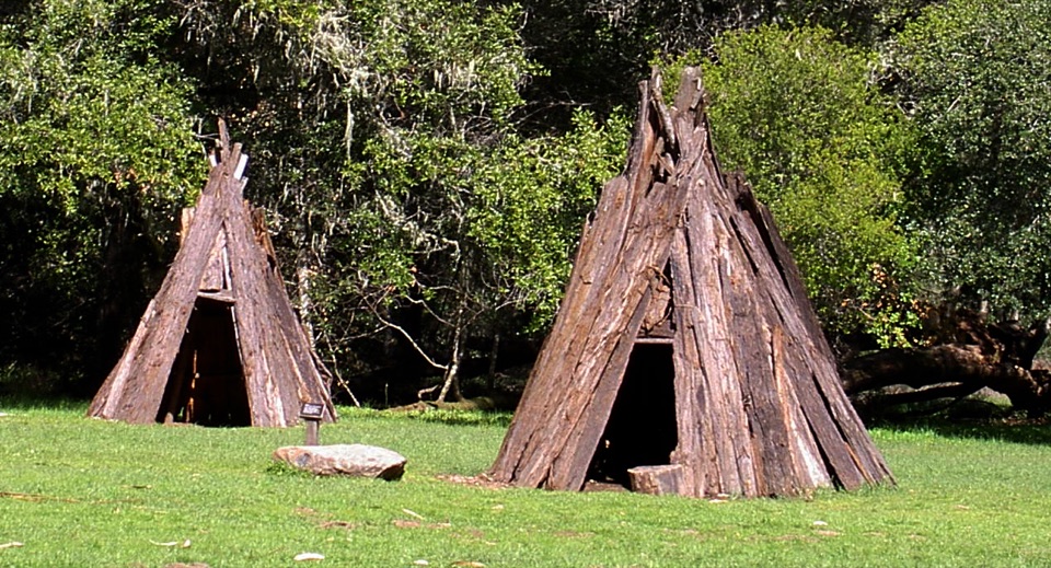 Sight · 2.9 mi awayKule LokloA replica Coast Miwok village with a round house and acorn granaries
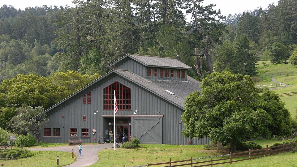 Visitor center · 3.3 mi awayBear Valley Visitor CenterBarn-style orientation hub where a life-size elephant seal greets you
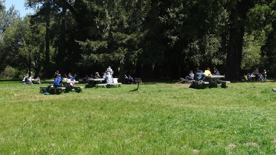 Picnic area · 3.3 mi awayBear Valley Picnic AreaTwenty-five shaded tables, charcoal grills, and room for big groups
 Sight · 3.3 mi awayMorgan Horse RanchWorking park horses and ranch history on a short hillside walk
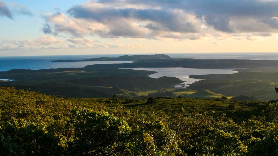 Sight · 3.3 mi awayMount VisionDrive-up peak with panoramic views over esteros, headlands and ocean
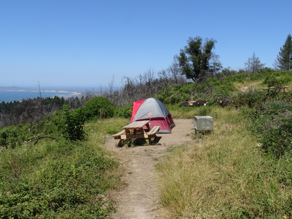 Campground · 3.4 mi awaySky CampgroundHike-in ridgetop tent sites with sweeping Drakes Bay and ocean views
Parkwolf’s Point Reyes ranking

The audio tour guide for the drive, plus offline maps, trails, and wildlife heatmaps for when the signal drops.





