Parking
Signed Wye Creek access off SH6 through a farm gate; close the gate behind you. Parking is limited at the lower carpark, with a rough upper access for 4WD vehicles. Take extreme care entering and leaving the busy highway.

Queenstown-Lakes District, New Zealand, OT
Steep Wye Creek climb to a pipeline walkway and Lake Wakatipu viewpoint
Overview
Wye Creek Track is a steep out-and-back to a hydro pipeline, waterfall and helicopter-landing viewpoint above Lake Wakatipu. The route climbs through beech forest and finishes with an exposed pipeline walkway and broad views towards Queenstown and the Remarkables.
Map & elevation
Plan your hike

The highest, rockiest slopes around here are a summer buffet for grizzly bears.
Queenstown-Lakes District Tour Guide
Parkwolf is a GPS audio tour guide for Queenstown-Lakes District, New Zealand. As you drive, it chimes in with what’s ahead: hidden gems, upcoming stops, history, geology, and wildlife, right through your car’s speakers.
See the Queenstown-Lakes District audio tourRecorded for this trailhead
Lower Wye Creek: A Steep Pipeline Climb“The trailhead coming up is for the Lower Wye Creek Walking Track, a short but very steep climb up the face of The Remarkables.”
Plays as you drive up to this trailhead in the Parkwolf Queenstown-Lakes District Tour Guide.
More stories near here in the app
“Fantastic app with many points of information… It’s great to just turn on while you’re driving and it gives you an audio tour of the national Park. We love it!!!!”


Trail guide
From the Wye Creek carpark, follow the rough access track and steep zigzags to the fence stile. Continue through the forest and below the climbing bluffs until the track reaches the water pipeline. At the junction, take the signed lookout branch across the stream and dam, then follow the narrow railed pipeline walkway to the helicopter landing platform and viewpoint. Return by the same corridor. The mapped line stores the physical one-way corridor once; the visitor distance is about 2.5 miles (4.0 km) return.
The trailhead is about 20 minutes south of Queenstown on State Highway 6. Enter the signed Wye Creek access through the farm gate and close it behind you. Parking is limited; the rough upper access is suitable for 4WD vehicles, while other visitors should expect to start from the lower carpark. Take care when turning on and off the busy highway.
This is a steep, advanced-style walk despite its short distance. Expect uneven ground, slippery roots, loose rock, sudden weather changes and an exposed, narrow pipeline walkway. Do not force the lookout branch in high wind or if heights are a concern, and carry warm layers and reliable footwear. The track crosses private land and dogs are not permitted on the DOC track.
Wildlife
 189 sightingsKeaMost seen around 5 PMSighting map
 18 sightingsKākāMost seen around 6 PMSighting map
 195 sightingsKererūMost seen around 10 AMSighting map
 48 sightingsWekaMost seen around 6 PMSighting map
 239 sightingsTūīMost seen around 8 AMSighting map
 97 sightingsBellbirdMost seen around 6 AMSighting map
Sighting maps show where each species has been reported across Queenstown-Lakes District. Wildlife moves, so no sighting is guaranteed.
Keep exploring
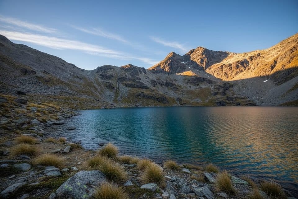 ModerateLake Alta Track3.4 km · 1.5 hr · 10.1 km awayA short, demanding climb from the Remarkables ski field to a high glacial lake.
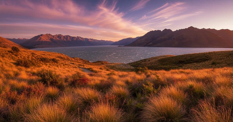 ModerateJacks Point Track12.6 km · 5 hr · 11.2 km awayExposed lakeside gravel track with big Lake Wakatipu and Remarkables views
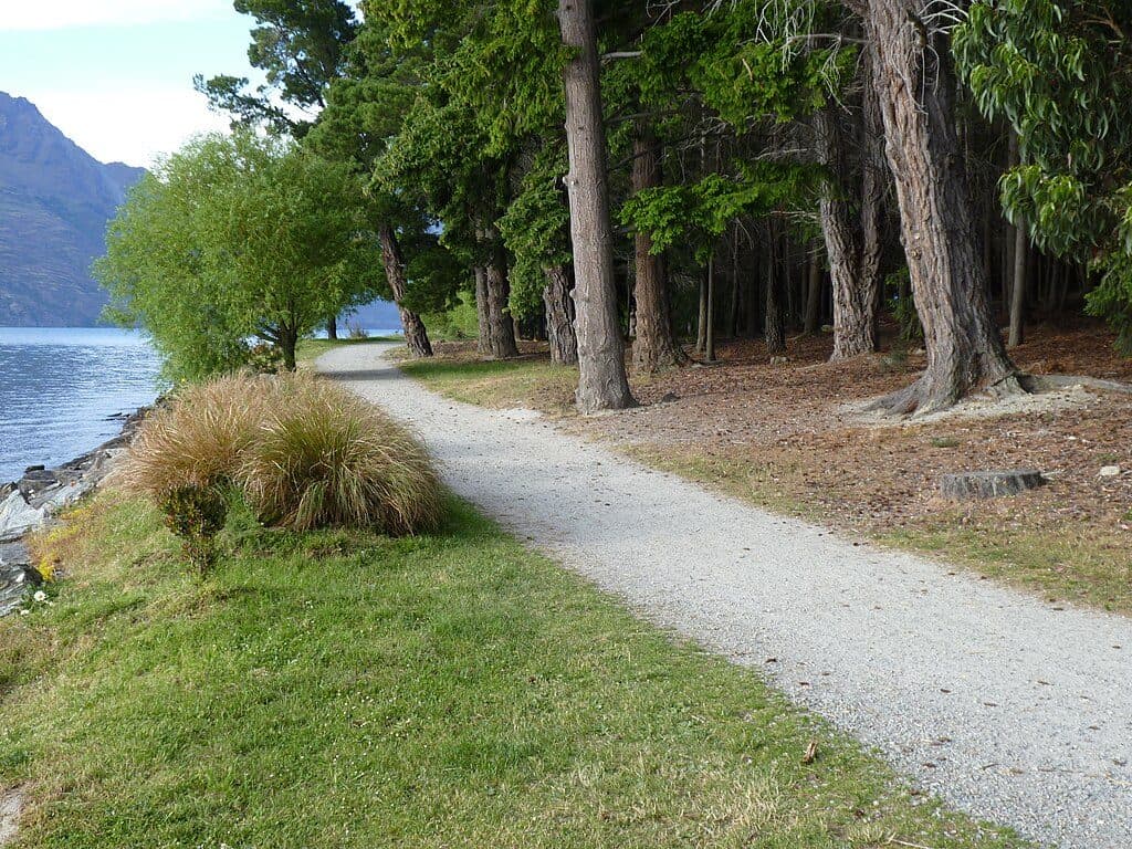 EasyQueenstown Gardens Lakefront Loop2 km · 30 min · 13.7 km awayEasy lakeside loop through Queenstown’s gardens with constant views
 ModerateQueenstown Hill Time Walk5.5 km · 2.5 hr · 14 km awayA sustained 5.4 km return climb to Queenstown Hill views and the Basket of Dreams
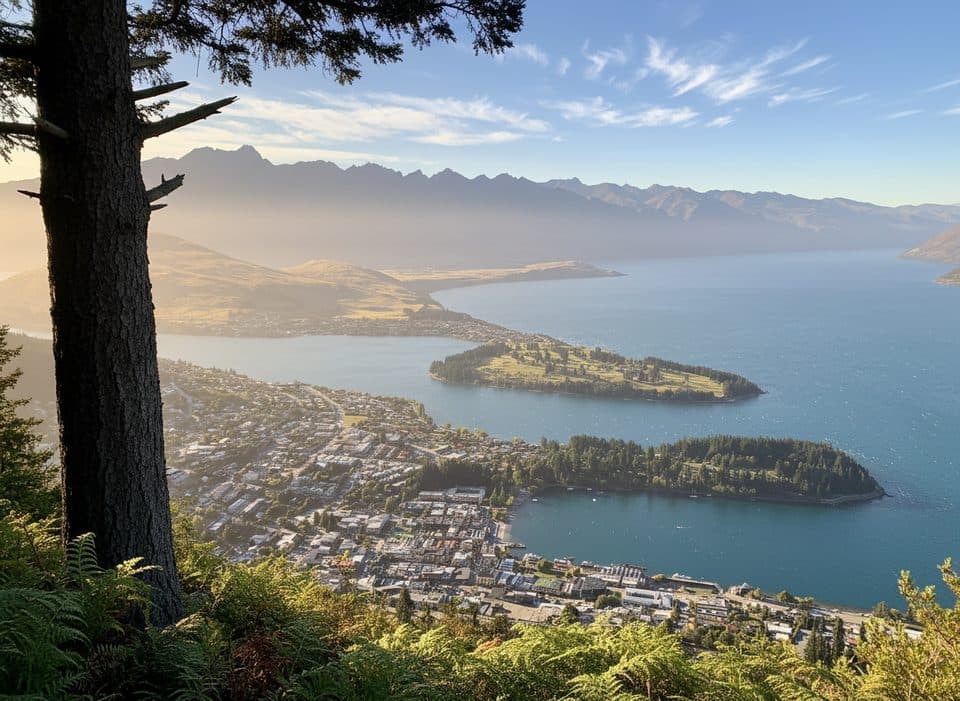 ModerateTiki Trail4.2 km · 2 hr · 14.4 km awayShort, steep climb to Skyline’s knockout Queenstown and Wakatipu views.ChallengingFernhill Loop Track7.6 km · 3 hr · 14.6 km awaySteep loop with big Wakatipu views and a quiet, close-to-town feelChallengingBen Lomond Track10.9 km · 6 hr · 15.2 km awayA demanding alpine climb from Skyline to a 1,748 m summit with huge Queenstown views
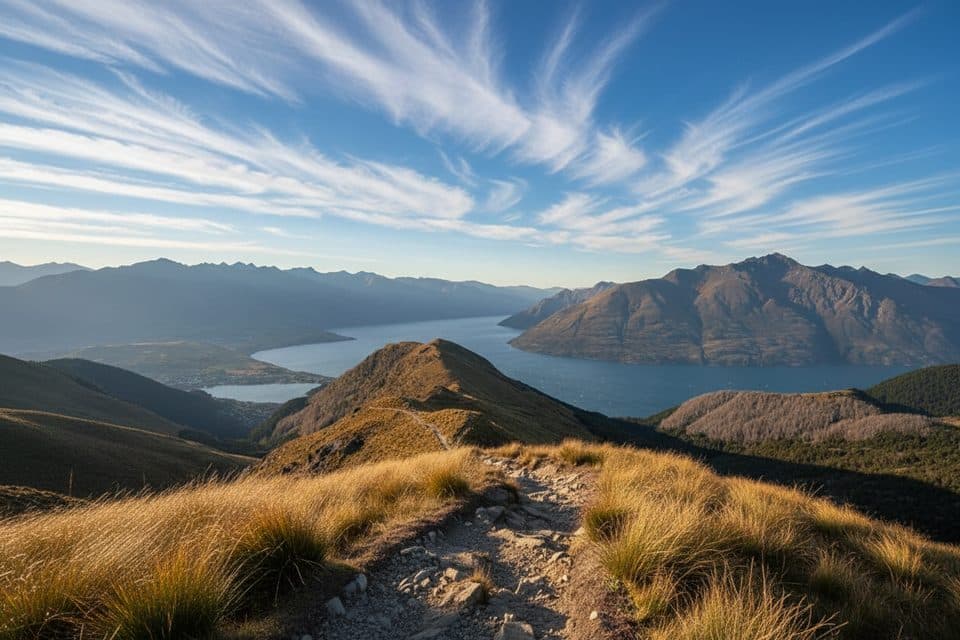 ModerateMoonlight Track14 km · 4.5 hr · 18.4 km awayHistoric one-way traverse from Arthur's Point to Moke Lake
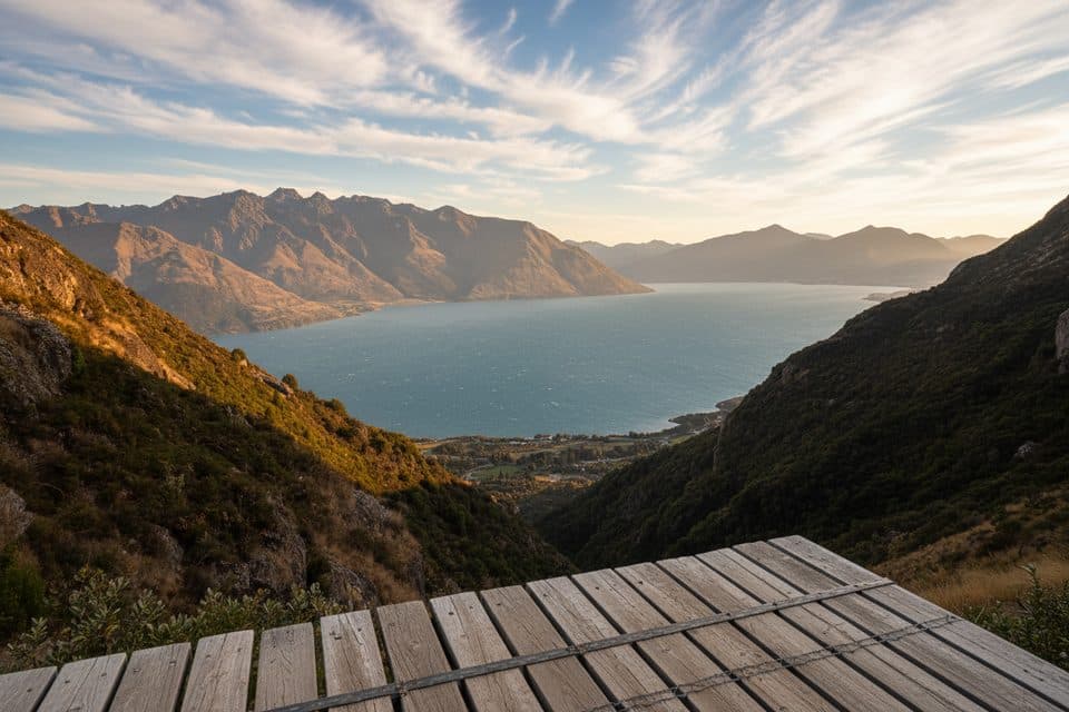 Sight · 1.2 km awayWye Creek LookoutShort, steep hike to a helipad with huge Lake Wakatipu views
 Sight · 6 km awayThe RemarkablesQueenstown’s jagged skyline for skiing, hikes, and huge views
 Sight · 6.7 km awayJacks Point Golf CourseDramatic alpine golf with lake views and true risk‑reward shots
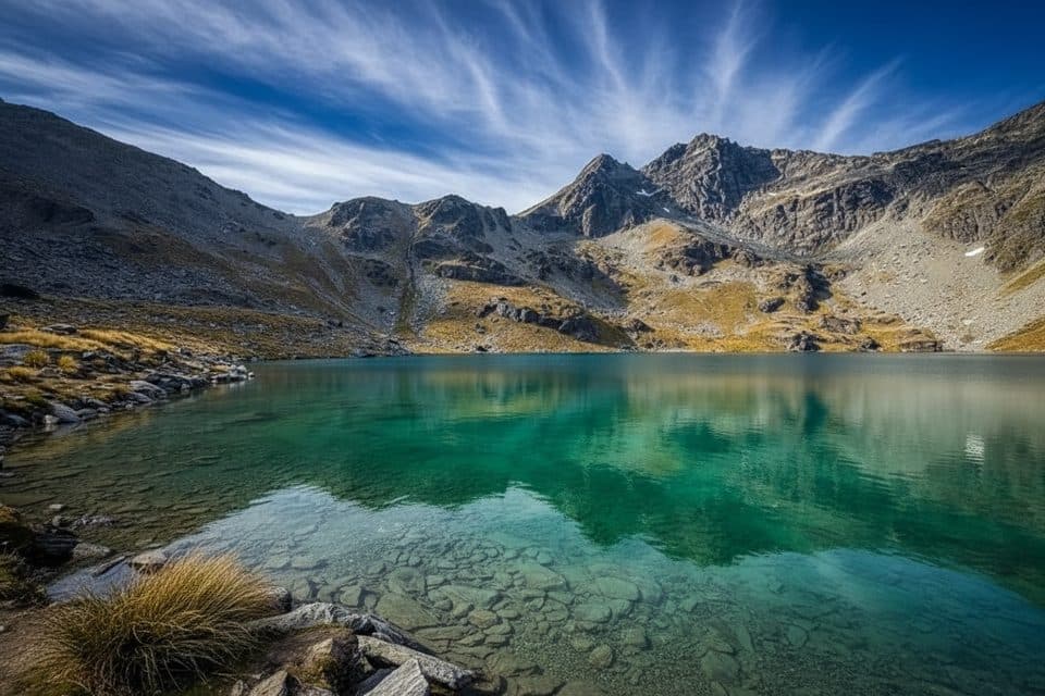 Sight · 8.9 km awayLake AltaShort climb to a mirror-still alpine lake in the Remarkables
 Sight · 9.2 km awayThe Remarkables Ski Area LookoutHigh alpine perch with big Lake Wakatipu and Queenstown views
 Sight · 10 km awayThe Remarkables Ski AreaFreeride bowls and the Southern Hemisphere's only Burton Stash
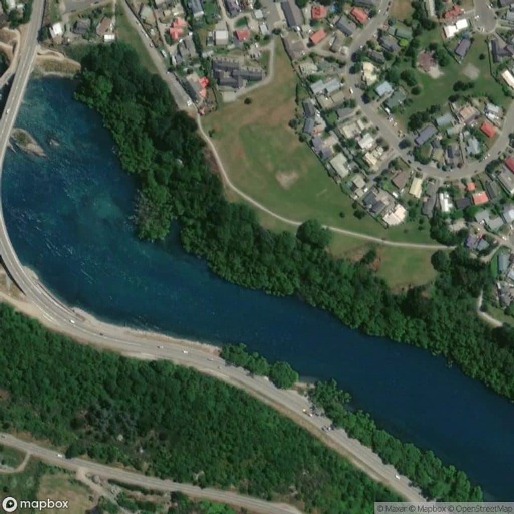 Sight · 11.8 km awayKawarau Falls Scenic ReserveRiverside green space with Remarkables views and easy trails
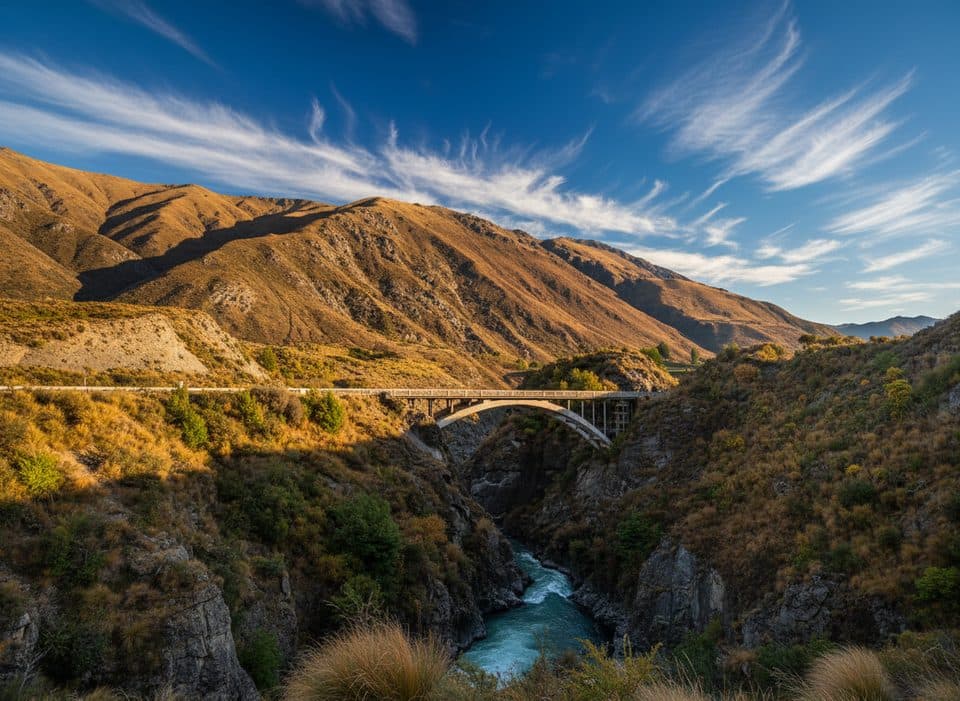 Sight · 12 km awayKawarau Falls Bridge (Old), FranktonHistoric dam-top bridge now for walkers and cyclists
Parkwolf’s Queenstown-Lakes District ranking

The audio tour guide for the drive, plus offline maps, trails, and wildlife heatmaps for when the signal drops.




