Parking
Use Waterfall Station car park; the walk begins at its rear. Follow Uloola walking track for about 1 km, then turn right onto Couranga. NPWS confirms station parking, but trail sources do not establish the lot size or station charges.
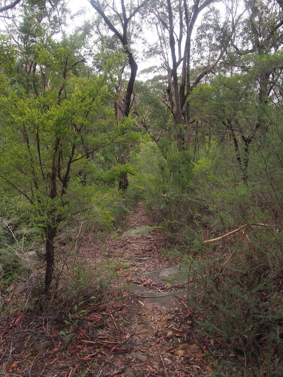
Royal National Park, NSW
Heathland, sawpits and cool rainforest on a long return walk
Overview
Map & elevation
Plan your hike

The highest, rockiest slopes around here are a summer buffet for grizzly bears.
Royal Tour Guide
Parkwolf is a GPS audio tour guide for Royal National Park. As you drive, it chimes in with what’s ahead: hidden gems, upcoming stops, history, geology, and wildlife, right through your car’s speakers.
Recorded for this trailhead
Waterfall Station and the Uloola Walk“You're approaching Waterfall Station, where the Uloola walking track starts behind the car park.”
Plays as you drive up to this trailhead in the Parkwolf Royal Tour Guide.
More stories near here in the app
“Fantastic app with many points of information… It’s great to just turn on while you’re driving and it gives you an audio tour of the national Park. We love it!!!!”


Trail guide
Couranga walking track is a 10.2 km out-and-back from Waterfall Station to Hacking River, using about 1 km of Uloola walking track to reach Couranga. NSW National Parks lists 5.1 km one way; allow 3 to 4 hours for the return. It is a Grade 3 walk, worth choosing for the change from open heath and eucalyptus forest to a cool creek-side rainforest. The rainforest comes after a fairly long approach, so this is a half-day walk rather than a quick waterfall stop.
Start at the rear of Waterfall Station car park and follow Uloola for about 1 km, then turn right onto Couranga. The early kilometres cross heath and drier bluegum and blackbutt forest. The track then drops steeply over a loose, stony stretch before the creek and thicker forest; take care here, especially on the return climb. The formed route is signposted, but Grade 3 still means short steep hills and plenty of steps.
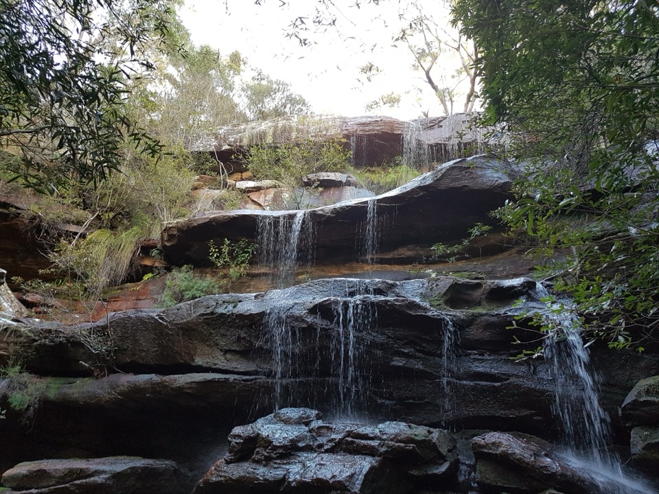
Near the lower end, the track reaches a creek and the walk shifts into dense, damp rainforest. Cabbage-tree palms and tree ferns crowd the water, with mossy boulders and a small cascade along the way. A short side path gets closer to the creek. The main Couranga walk turns around at Hacking River; crossing the river and making a Forest Path loop is an optional extension, outside the distance above.
Old sawpits beside the route are a reminder of the logging that once took place here. Higher up, the heath is most colourful in spring, when flowering plants draw honeyeaters and southern emu-wrens. They are a seasonal possibility, not a guaranteed sighting.
Waterfall Station parking is available, though trail sources do not establish the lot’s size, station charges, toilets or water taps. No food stop on the route was confirmed, so bring what you need for the return. Dogs are not permitted in NSW national parks. If you continue beyond the walk to cross Hacking River, the crossing is only possible in dry weather.
Wildlife
 56 sightingsHumpback WhaleMost seen around 11 AMSighting map
 68 sightingsWhite-bellied Sea-EagleMost seen around 9 AMSighting map
 12 sightingsKoalaMost seen around 6 PMSighting map
 33 sightingsJavan RusaMost seen around 6 PMSighting map
 69 sightingsShort-beaked EchidnaMost seen around 5 PMSighting map
 11 sightingsRed FoxMost seen around 5 PMSighting map
Sighting maps show where each species has been reported across Royal. Wildlife moves, so no sighting is guaranteed.
Keep exploring
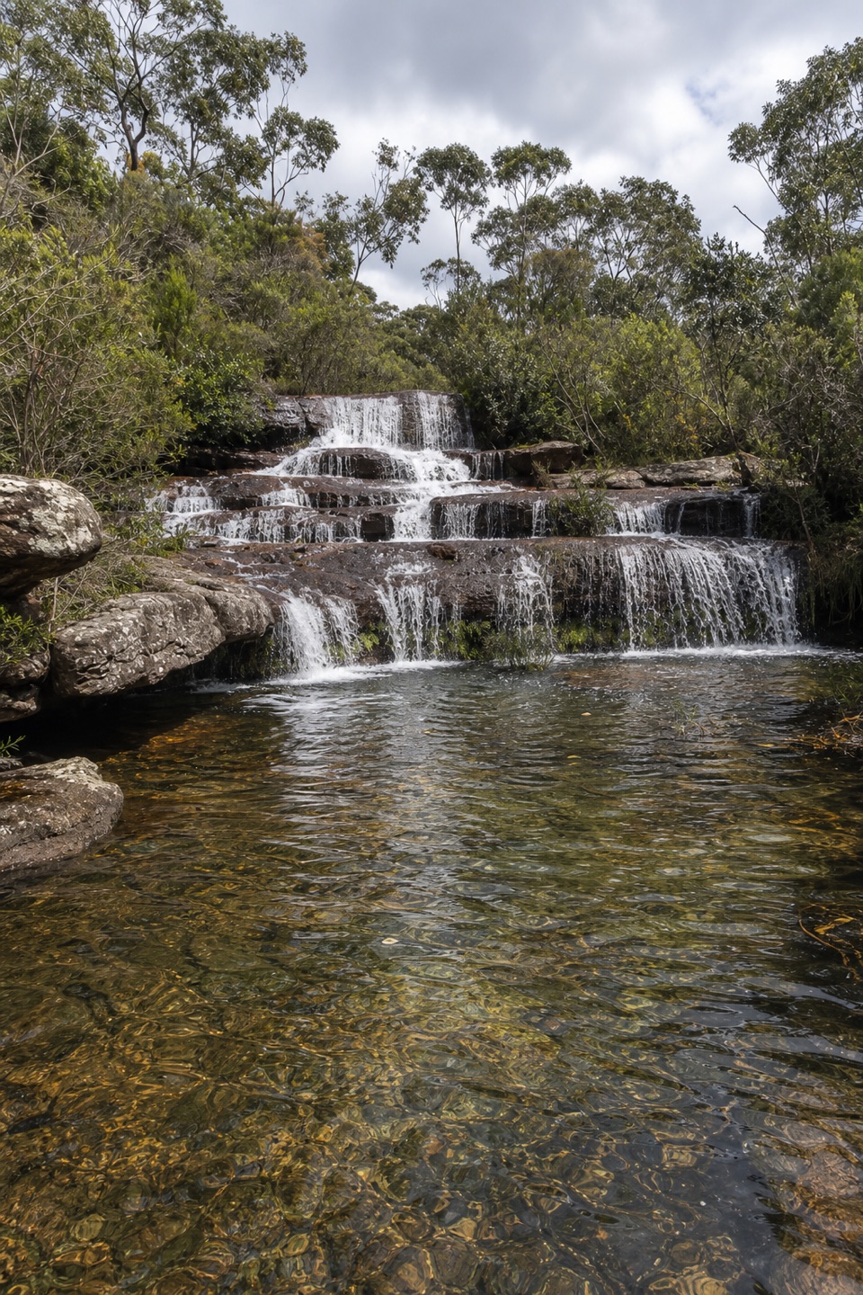 ModerateUloola walking track11 km · 5 hr · At the trailheadAn 11 km crossing of sandstone ridges, heath and Uloola Falls
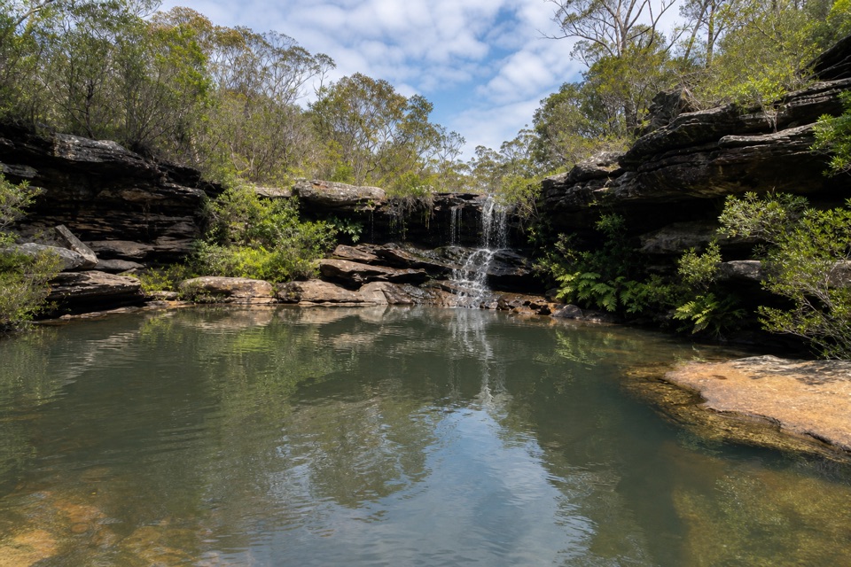 ModerateKangaroo Pool Walk5 km · 2 hr · At the trailheadA waterfall-fed pool at the end of a rough, unmarked track.
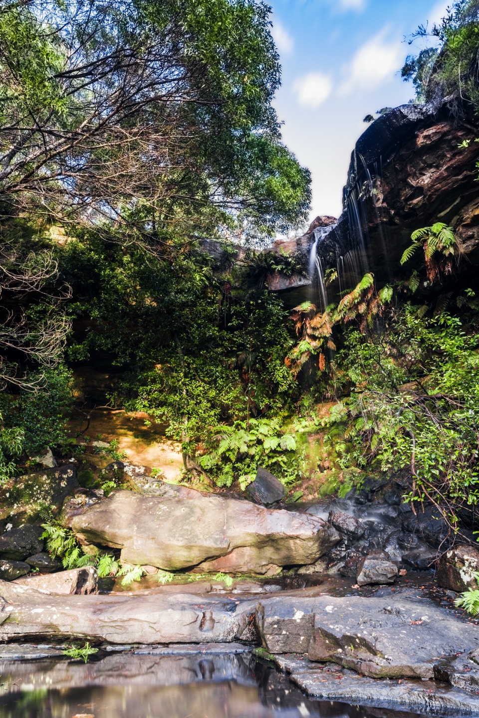 EasyNational Falls Walk0.1 km · 15 min · 2.5 km awayA short stairway drop brings you to the upper falls.
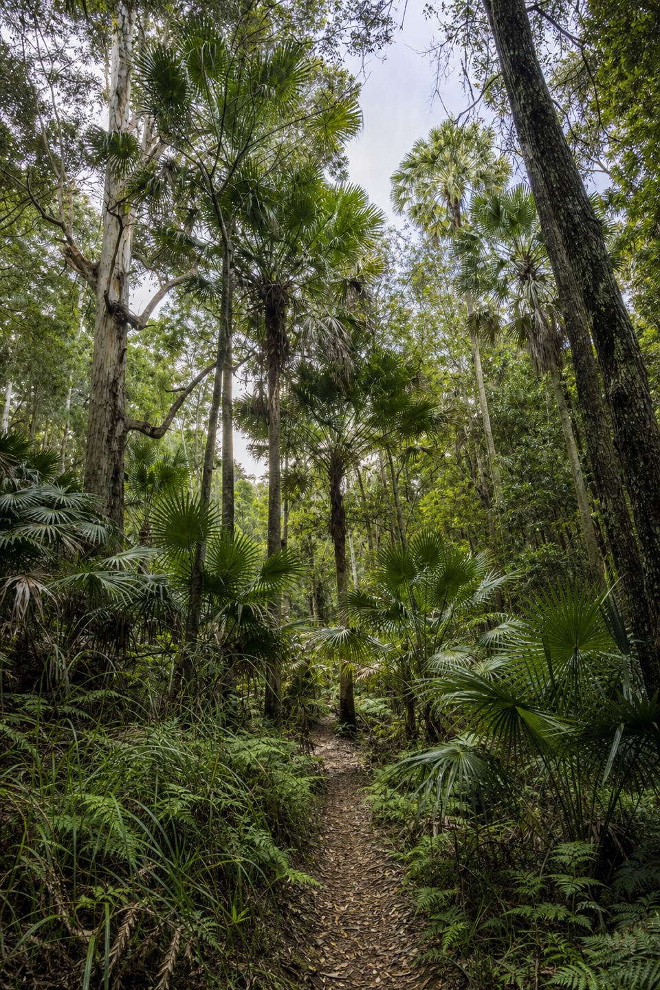 EasyForest Path4.4 km · 1.3 hr · 3.5 km awayA 4.4 km rainforest loop with creekside paths and river cascades.
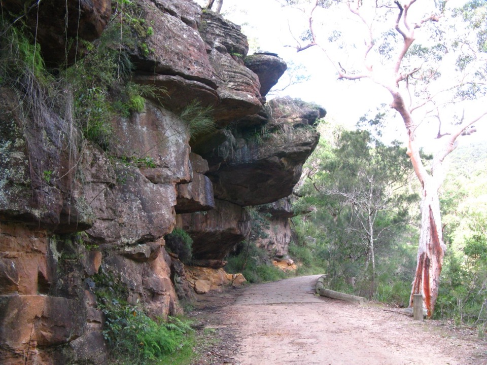 ModerateForest Island to Calala8.6 km · 3.5 hr · 3.5 km awayA shaded rainforest walk to a riverside picnic clearing.
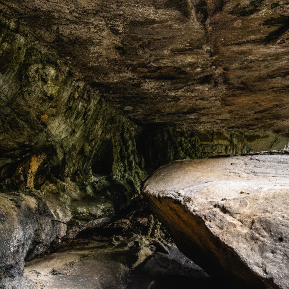 ModeratePalona Cave Walk5.1 km · 2.3 hr · 3.5 km awayA mellow historic drive, then a rough climb to a cave.
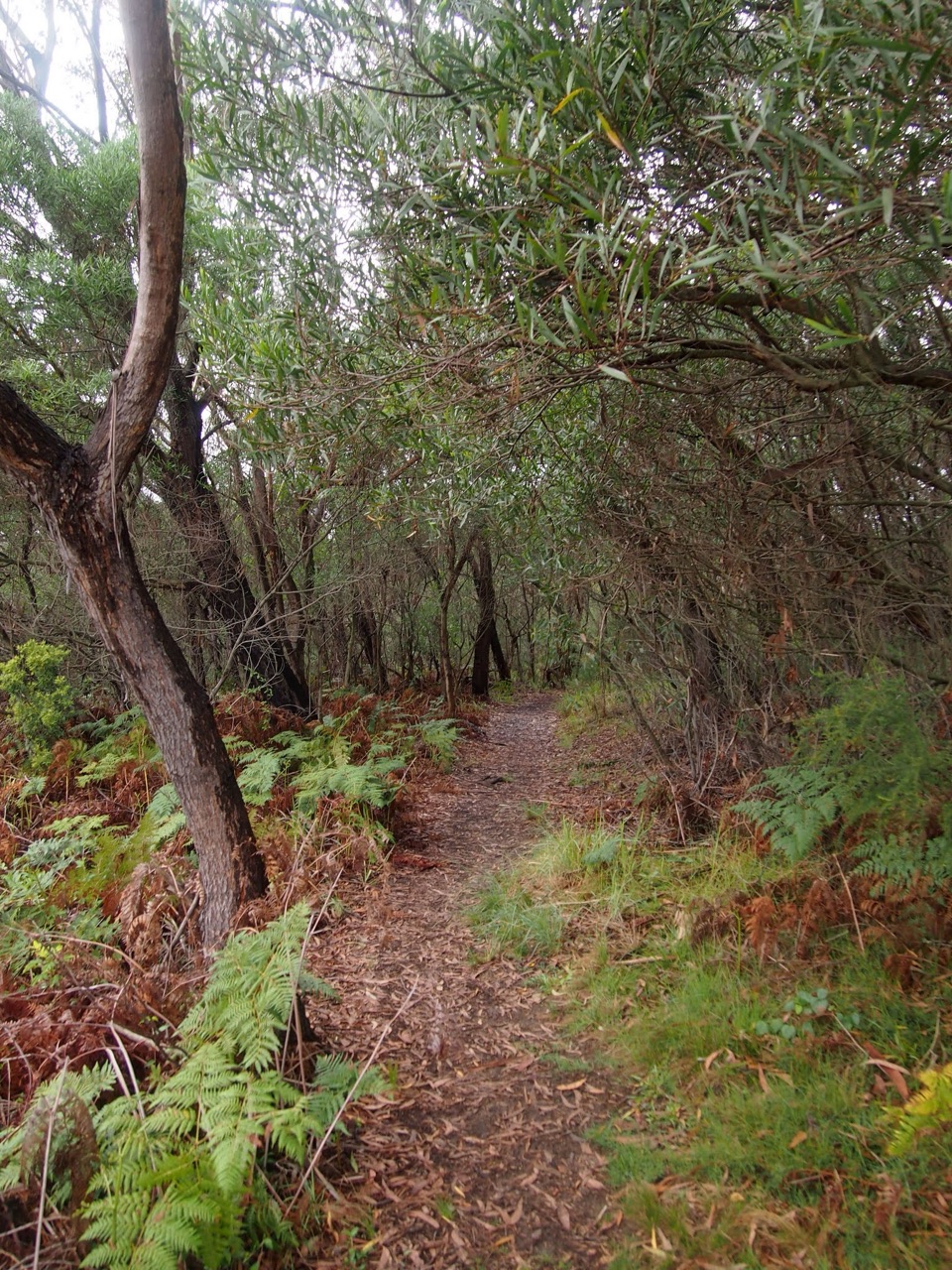 ChallengingHeathcote to Audley10.1 km · 4.5 hr · 5.3 km awayKarloo Pool and Uloola Falls split up this long one-way walk.
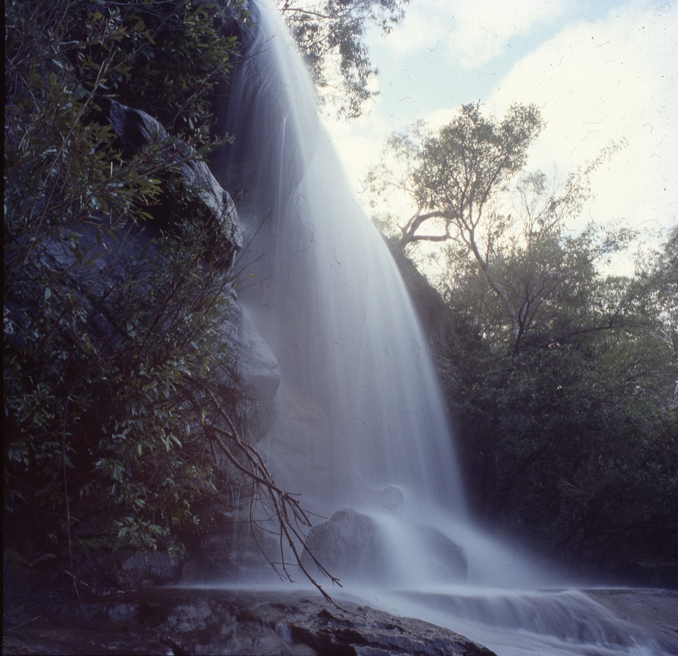 ChallengingHeathcote to Engadine via Audley15.2 km · 6.5 hr · 5.3 km awayTake two stations through pools, falls and sandstone ridges.
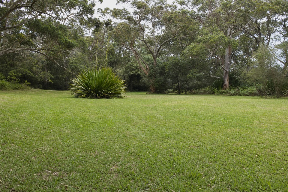 Picnic area · 1.4 km awayWaterfall Flat Picnic AreaA quick picnic beside heathland frequented by nectar-feeding birds.
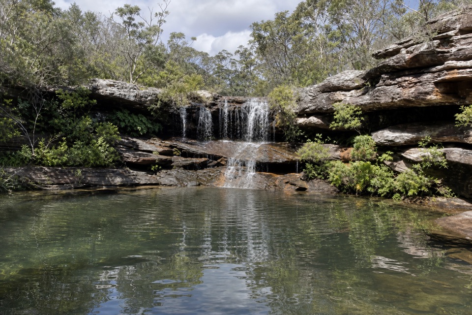 Sight · 2.1 km awayKangaroo PoolA rock-walled creek pool with a small waterfall.
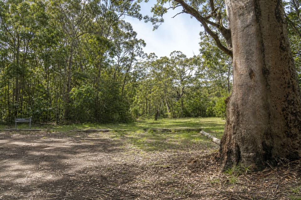 Picnic area · 2.3 km awayGunjulla Flat Picnic AreaA shaded pause on McKell Avenue, with spring birds in the heath.
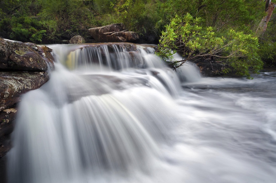 Sight · 2.5 km awayNational FallsAn easy roadside waterfall stop, best after rain.
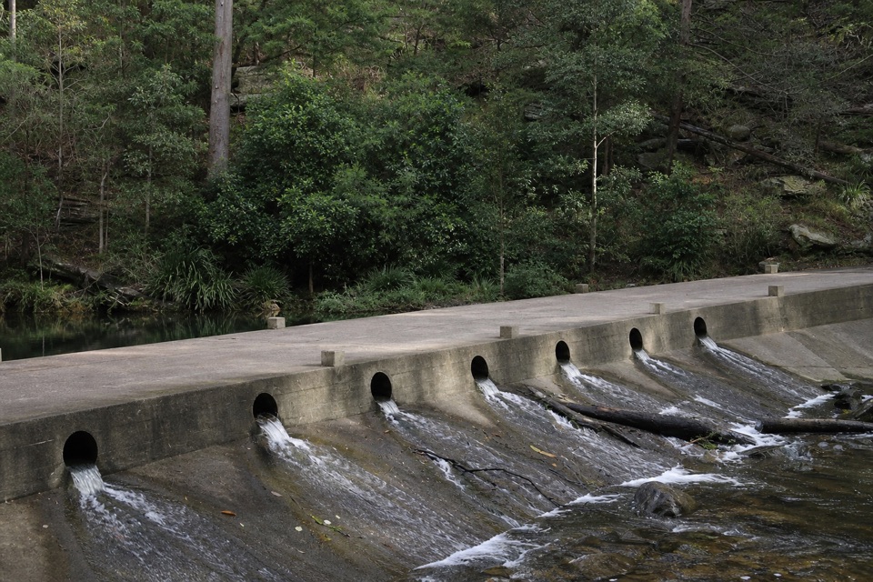 Picnic area · 3.6 km awayUpper Causeway Picnic AreaA quick picnic pause before a forest walk or bike ride.
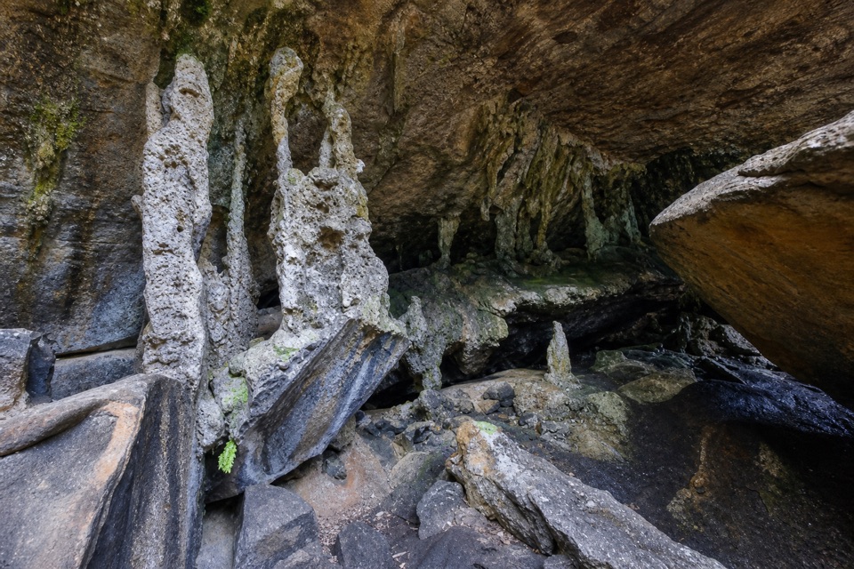 Sight · 3.9 km awayPalona CaveA shaded overhang and small waterfall reward a rainforest walk.
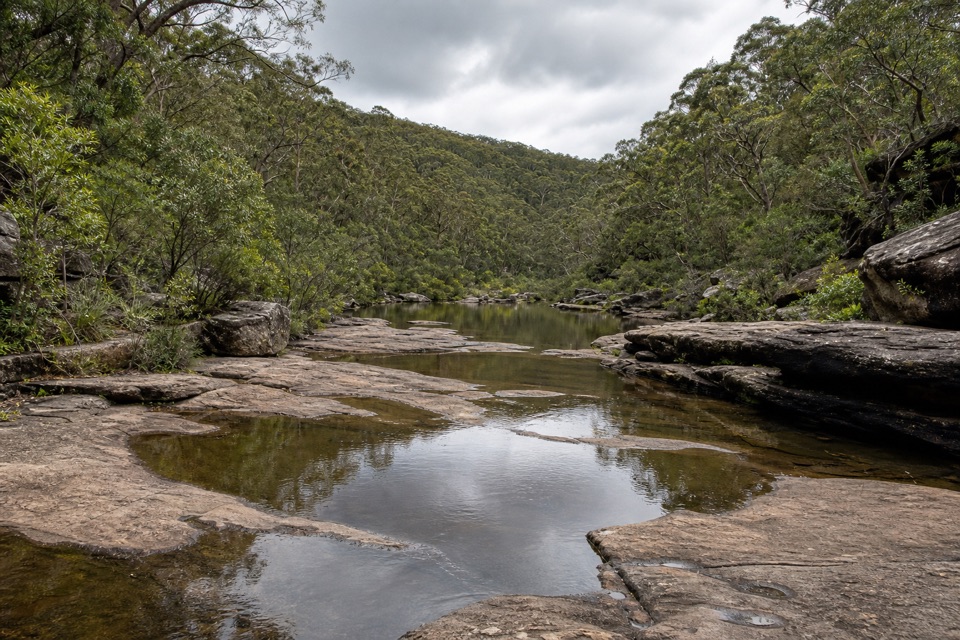 Sight · 4.5 km awayOlympic PoolA broad creek swim worth the steep, rocky walk.
 Campground · 4.9 km awayUloola Falls CampgroundAn overnight beside the falls, earned on foot.
Parkwolf’s Royal ranking

The audio tour guide for the drive, plus offline maps, trails, and wildlife heatmaps for when the signal drops.





