Overview
About Palona Cave
Why stop
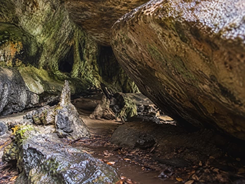
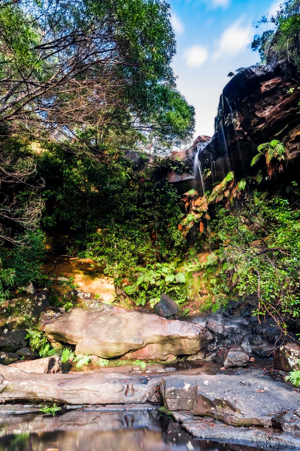
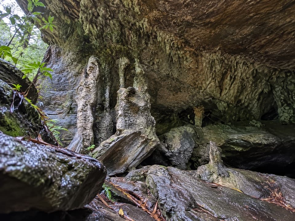
- A distinctive overhang with pale dripstone and a nearby waterfall.
Heads up
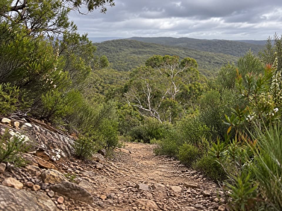
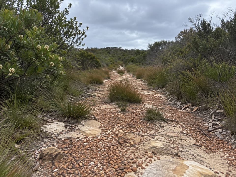
- The final spur is steep, rough and easy to miss.
Map
Where it is

The highest, rockiest slopes around here are a summer buffet for grizzly bears.
Royal Tour Guide
Your drive to Palona Cave, narrated.
Parkwolf is a GPS audio tour guide for Royal National Park. As you drive, it chimes in with what’s ahead: hidden gems, upcoming stops, history, geology, and wildlife, right through your car’s speakers.
See the Royal audio tourRecorded for this place
Forest Path at Southern Lady Carrington Drive“Up ahead is the southern Lady Carrington Drive access, where Forest Path is a good choice for a shorter rainforest walk.”
Plays as you drive up to Palona Cave in the Parkwolf Royal Tour Guide.
More stories near here in the app
- Wises Track’s Heathland Walk
- Wallumarra Track to Bola Creek
- National Falls Upper Cascade
- A Wallaby in the Undergrowth
- 43 audio storiesacross Royal’s roads, triggered by GPS as you drive
- Wildlife heatmapsfor Humpback Whale, White-bellied Sea-Eagle, Koala, and 13 more
- Works offlinemaps, 69 trails, 58 places, and audio download before you lose signal
- CarPlay readysimple controls built for the drive
“Fantastic app with many points of information… It’s great to just turn on while you’re driving and it gives you an audio tour of the national Park. We love it!!!!”


Guide
More about Palona Cave
The detour in briefPalona Cave is a broad sandstone overhang above Palona Brook, with pale dripstone formations…
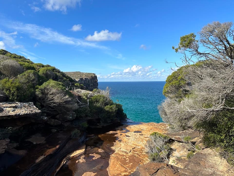
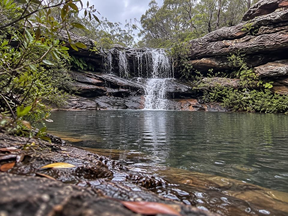
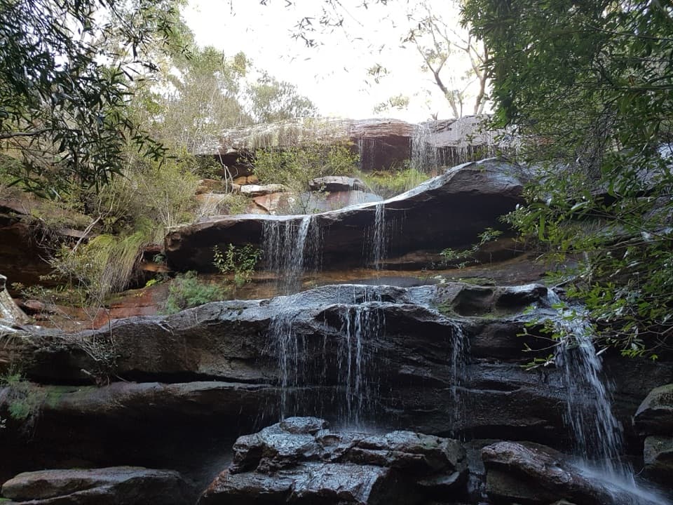
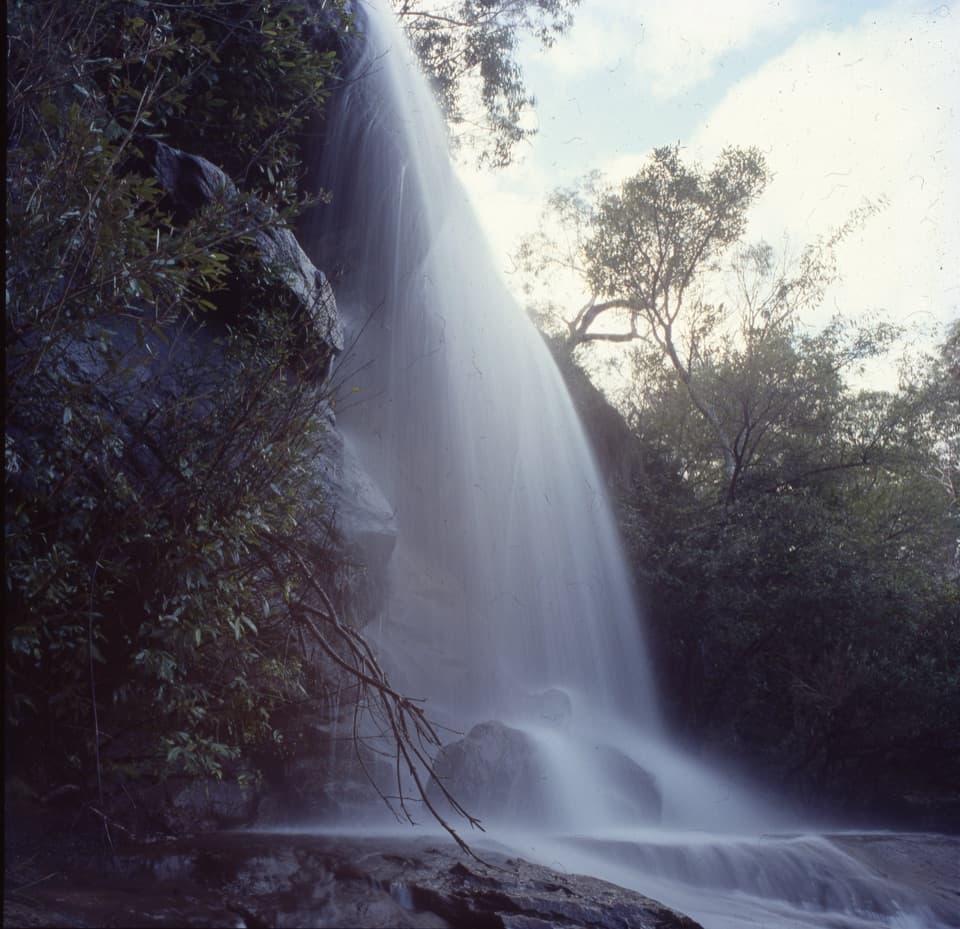
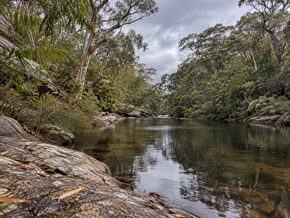
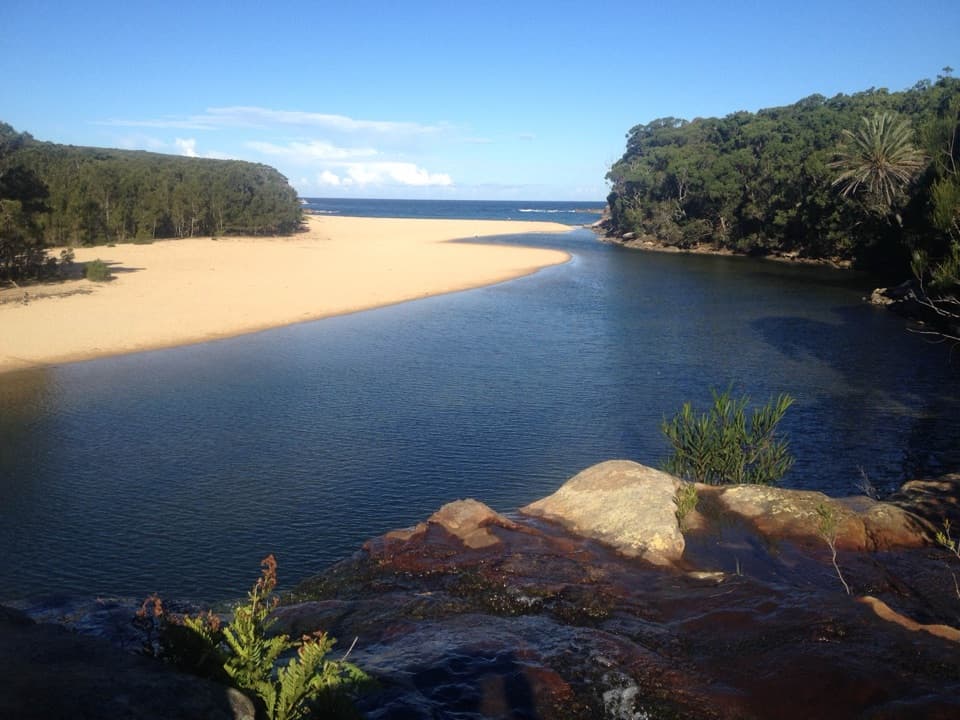
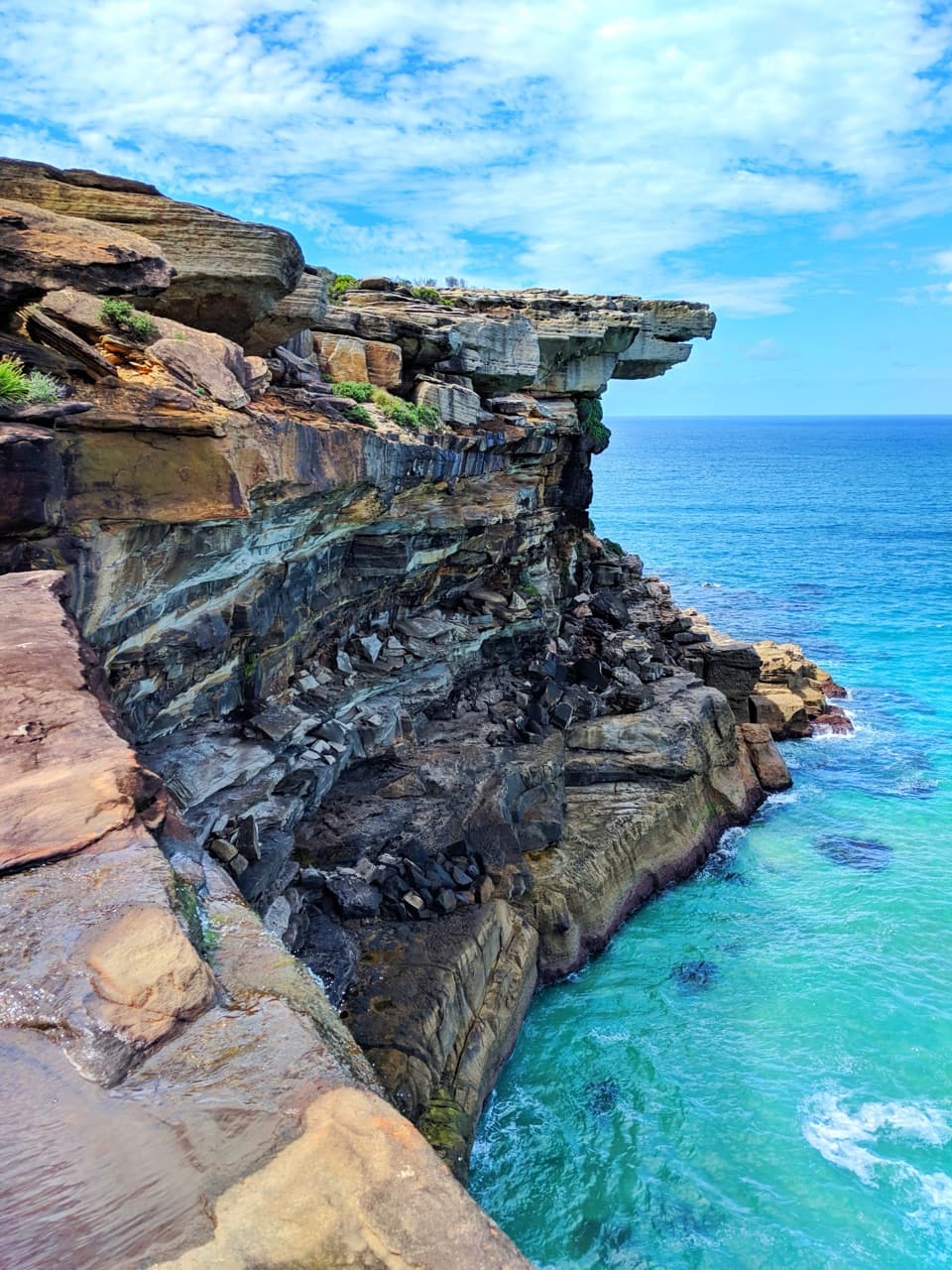
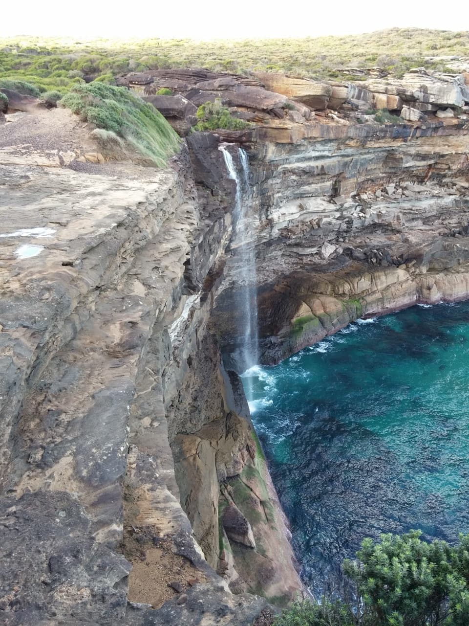
Palona Cave is a broad sandstone overhang above Palona Brook, with pale dripstone formations and a small waterfall just beyond it. It is a worthwhile stop if a natural cave sounds like a good payoff for a walk: the outing is about 5.3 km return, usually 1.5 to 2.5 hours with time to explore.
Start from the Lady Carrington Drive end near Sir Bertram Stevens Drive. After roughly 1.8 km, look for the signed cave spur at Palona Brook. Its last 800 m climbs on a narrow, rocky path with roots, and the turnoff can be easy to miss. Bring water and expect to share the main track with cyclists; riders are asked to give walkers way. The waterfall may be dry after a long spell without rain.
Inside the overhangThe shaded roof shelters pale, dripstone-like forms above a rough floor of boulders and a dark…
The shaded roof shelters pale, dripstone-like forms above a rough floor of boulders and a dark recess. Take care on the uneven ground. For a photo, include the broad roof, pale formations and darker hollow together; a tight shot of the rocks loses the scale of the overhang. The small waterfall sits just beyond the cave and is most likely to be flowing after rain.
An unusual bit of geologyAccounts describe it as both sandstone and limestone, but the main thing to notice is the pale…
Accounts describe it as both sandstone and limestone, but the main thing to notice is the pale dripstone formed where water has worked through the rock. It is a visible trace of water moving through the overhang.
A historic road to Palona BrookLady Carrington Drive follows the Hacking River upstream from Audley toward Sir Bertram Stevens…
Lady Carrington Drive follows the Hacking River upstream from Audley toward Sir Bertram Stevens Drive. It began as a carriage route and crosses 15 creeks; the cave detour leaves that old road at Palona Brook. The approach starts as an open rainforest track among cabbage-tree palms and mossy boulders before narrowing into the uphill spur.
Wildlife
Wildlife in Royal
 56 sightingsHumpback WhaleMost seen around 11 AMSighting map
 70 sightingsWhite-bellied Sea-EagleMost seen around 9 AMSighting map
 12 sightingsKoalaMost seen around 6 PMSighting map
 34 sightingsJavan RusaMost seen around 6 PMSighting map
 70 sightingsShort-beaked EchidnaMost seen around 5 PMSighting map
 11 sightingsRed FoxMost seen around 5 PMSighting map
Sighting maps show where each species has been reported across Royal. Wildlife moves, so no sighting is guaranteed.