Parking
Use the small roadside pull-off on McKell Avenue beside the Upper Falls access; the stair sign is a few metres along the road.
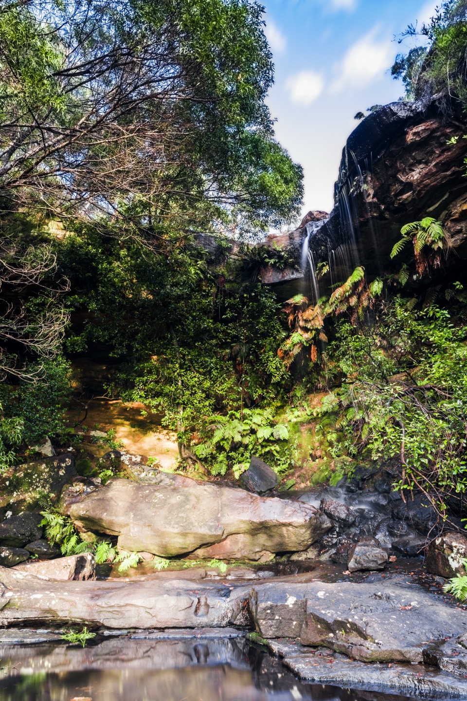
Royal National Park, NSW
A short stairway drop brings you to the upper falls.
Overview
Map & elevation
Plan your hike

The highest, rockiest slopes around here are a summer buffet for grizzly bears.
Royal Tour Guide
Parkwolf is a GPS audio tour guide for Royal National Park. As you drive, it chimes in with what’s ahead: hidden gems, upcoming stops, history, geology, and wildlife, right through your car’s speakers.
Recorded for this trailhead
National Falls Upper Cascade“You're nearing National Falls on McKell Avenue, where a short, steep stairway leads to the upper cascade. It's a quick forested stop, more rewarding after rain; frame the water with the fern-covered rock and pool.”
Plays as you drive up to this trailhead in the Parkwolf Royal Tour Guide.
More stories near here in the app
“Fantastic app with many points of information… It’s great to just turn on while you’re driving and it gives you an audio tour of the national Park. We love it!!!!”


Trail guide
National Falls Walk is a brief out-and-back from McKell Avenue to the upper falls, following the Upper Falls stairway. The mapped stair corridor is about 32 m one way; the stored 0.04 mi distance counts that same route down and back. Allow about 10 to 15 minutes with a stop. This is a quick waterfall visit, not a longer bushwalk.
From the small roadside pull-off, walk a few metres along McKell Avenue to the Upper Falls sign and descend the winding wooden steps through bush. The stairs lead to the upper cascade; return the same way. The descent is steep, and rocks beside the water can be slippery. When the viewing area is open, frame the fall with its ledge and pool; don't cross barriers or climb onto wet rock for a closer angle.
Published estimates vary: one describes about 100 m one way, another about 0.1 mi out-and-back, and another about 0.4 km return. This record follows only the named Upper Falls stairway because no other full route line could be verified. It leaves out the unmarked path behind the cascade and the rough lower-falls continuation; the behind-the-cascade spur is an unmarked side path, while Lower Falls is a separate, rough continuation; access and maintenance are unresolved for both. NPWS does not publish a trail-specific page confirming the stairs' current maintenance, so follow notices at the access. Pets are not allowed in NSW national parks.
Wildlife
 56 sightingsHumpback WhaleMost seen around 11 AMSighting map
 68 sightingsWhite-bellied Sea-EagleMost seen around 9 AMSighting map
 12 sightingsKoalaMost seen around 6 PMSighting map
 33 sightingsJavan RusaMost seen around 6 PMSighting map
 69 sightingsShort-beaked EchidnaMost seen around 5 PMSighting map
 11 sightingsRed FoxMost seen around 5 PMSighting map
Sighting maps show where each species has been reported across Royal. Wildlife moves, so no sighting is guaranteed.
Keep exploring
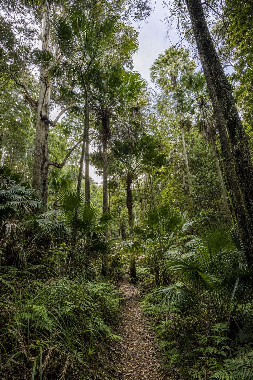 EasyForest Path4.4 km · 1.3 hr · 1.4 km awayA 4.4 km rainforest loop with creekside paths and river cascades.
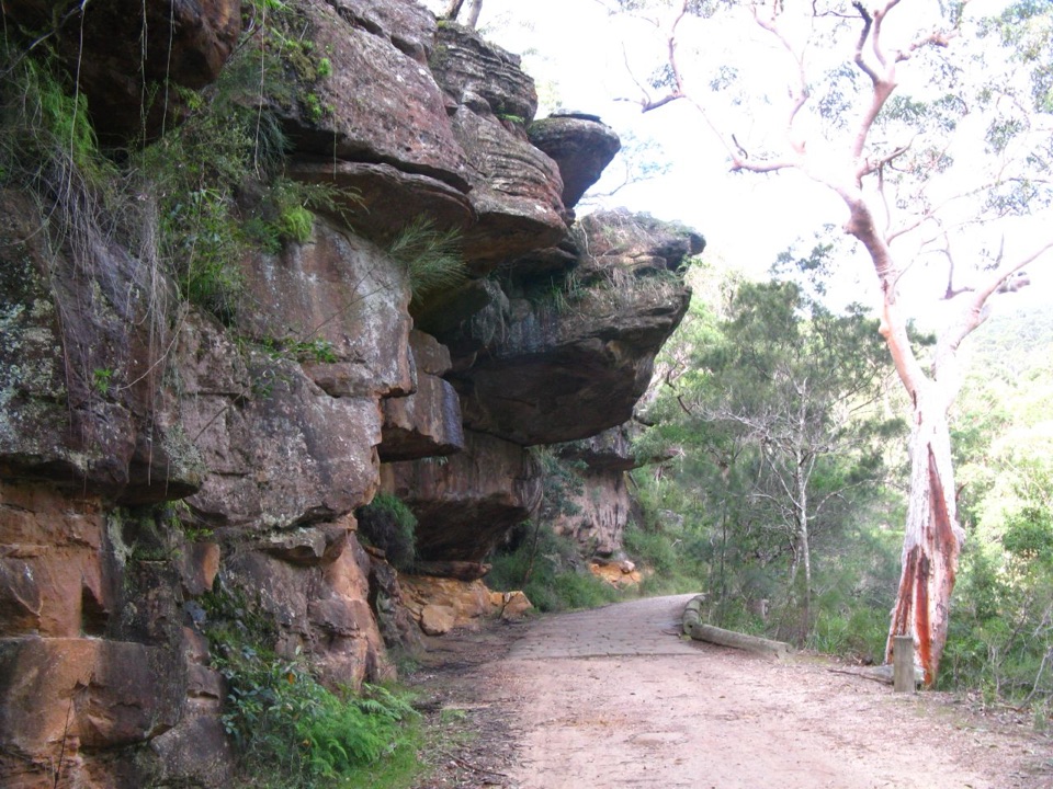 ModerateForest Island to Calala8.6 km · 3.5 hr · 1.4 km awayA shaded rainforest walk to a riverside picnic clearing.
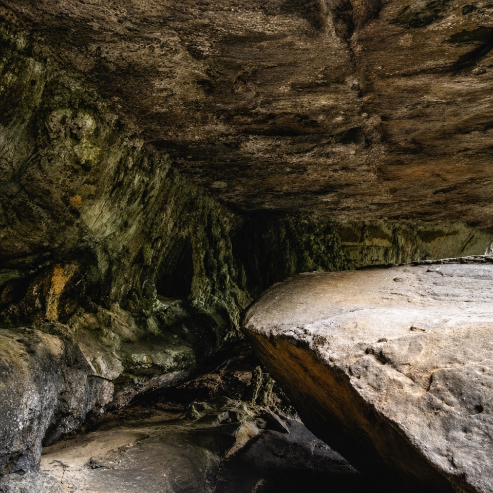 ModeratePalona Cave Walk5.1 km · 2.3 hr · 1.4 km awayA mellow historic drive, then a rough climb to a cave.
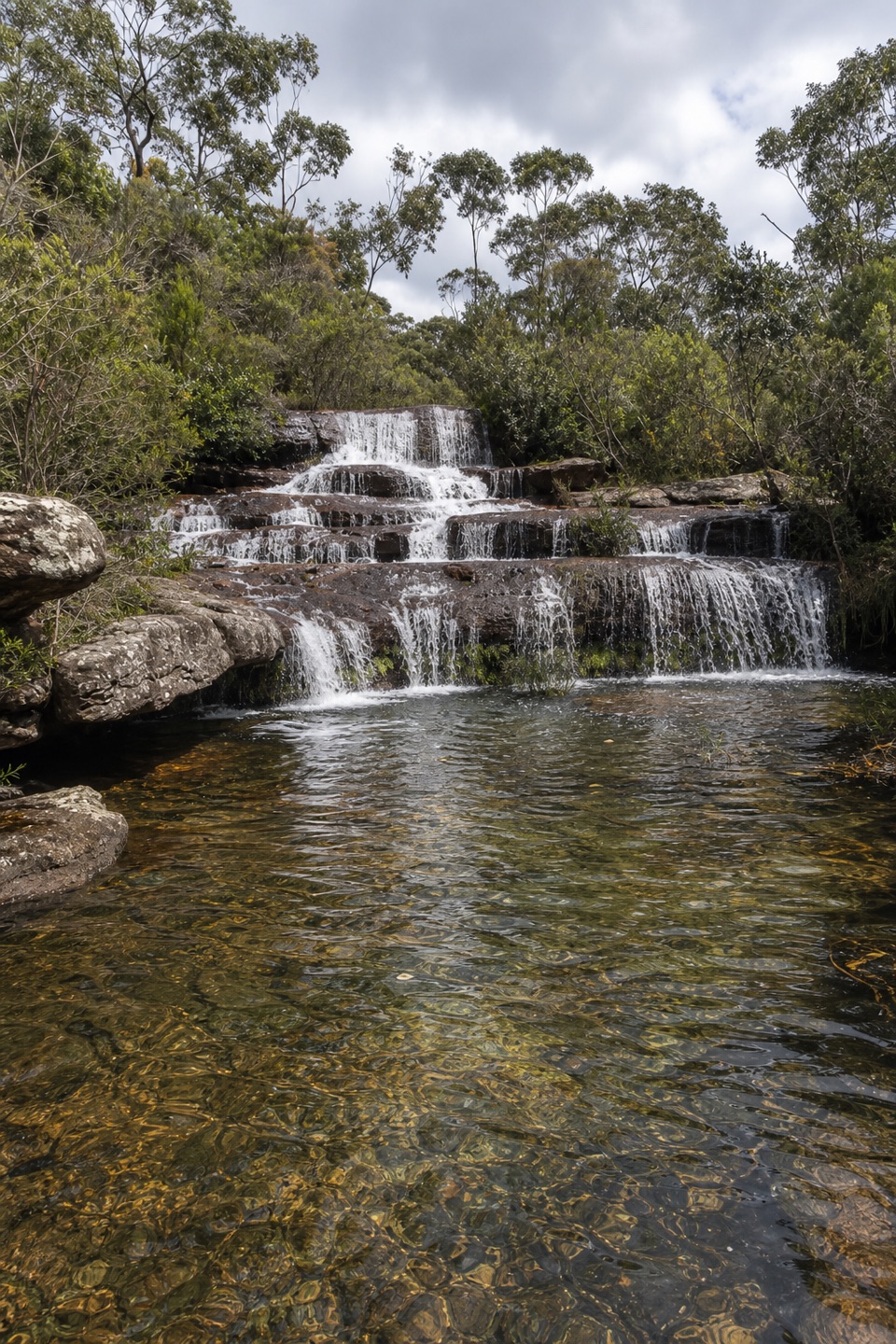 ModerateUloola walking track11 km · 5 hr · 2.5 km awayAn 11 km crossing of sandstone ridges, heath and Uloola Falls
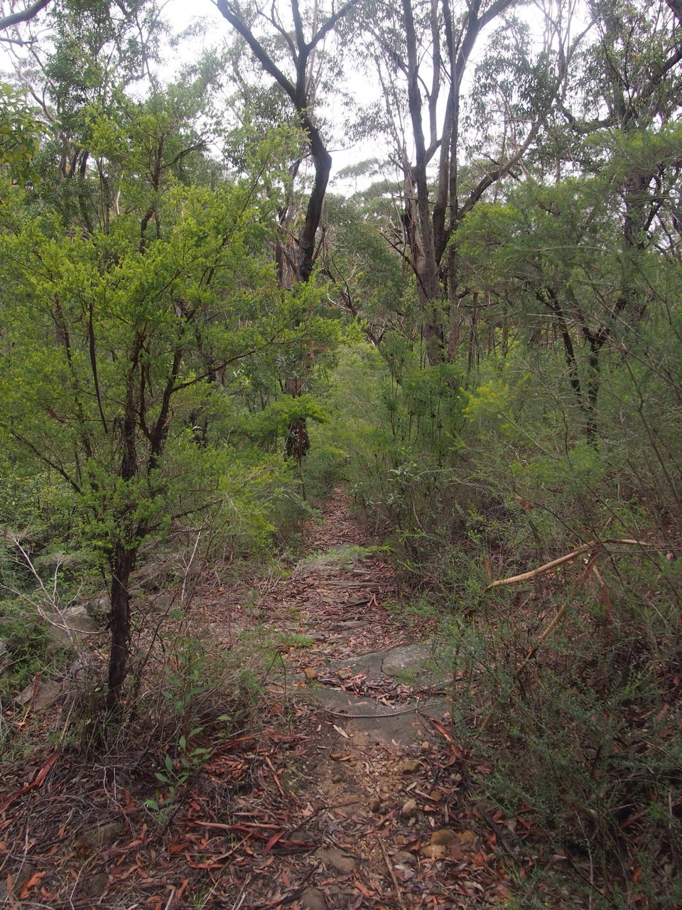 ModerateCouranga walking track10.2 km · 3.5 hr · 2.5 km awayHeathland, sawpits and cool rainforest on a long return walk
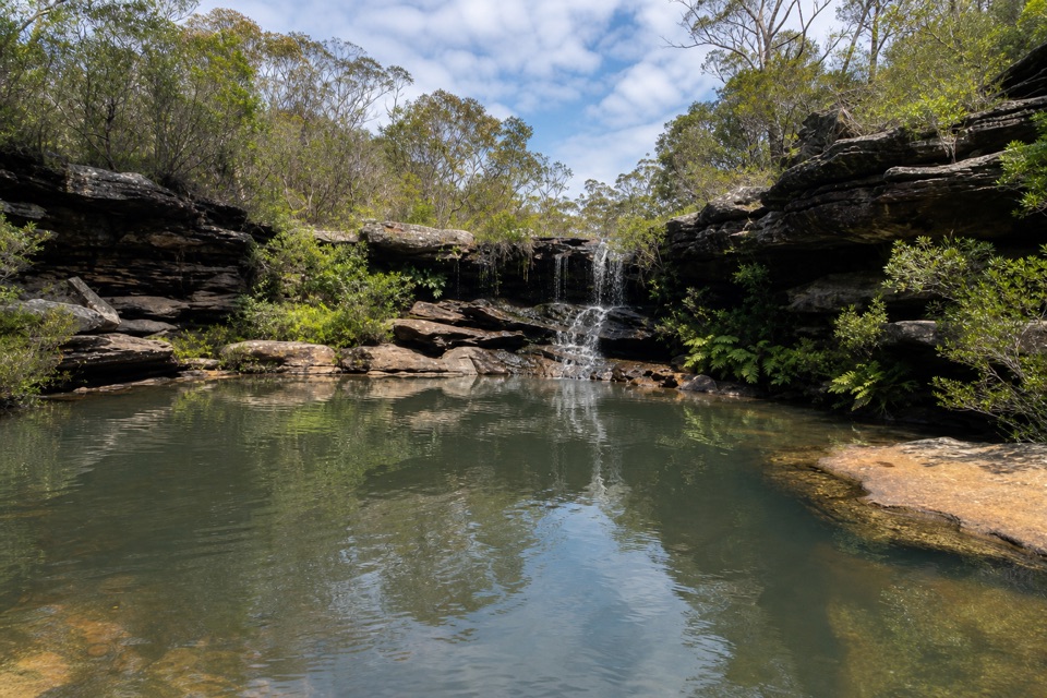 ModerateKangaroo Pool Walk5 km · 2 hr · 2.5 km awayA waterfall-fed pool at the end of a rough, unmarked track.
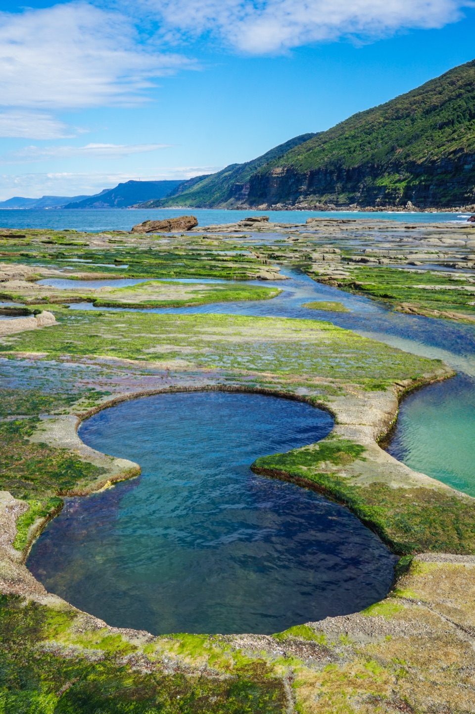 ChallengingFigure Eight Pools Walk6 km · 4 hr · 3.9 km awayA steep descent to tidal pools, with a rough rock-shelf finish.
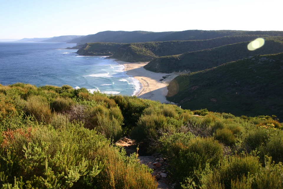 ModerateGarawarra Farm to Garie Beach4 km · 1.5 hr · 3.9 km awayA steep forest descent opens onto Garie Beach and the coast.
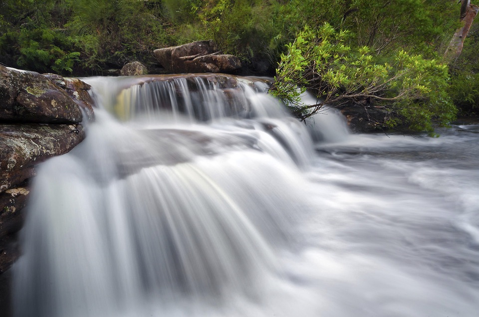 Sight · At the trailheadNational FallsAn easy roadside waterfall stop, best after rain.
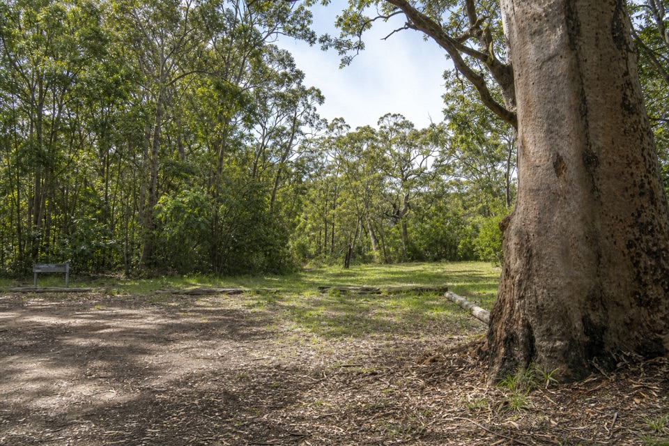 Picnic area · 0.3 km awayGunjulla Flat Picnic AreaA shaded pause on McKell Avenue, with spring birds in the heath.
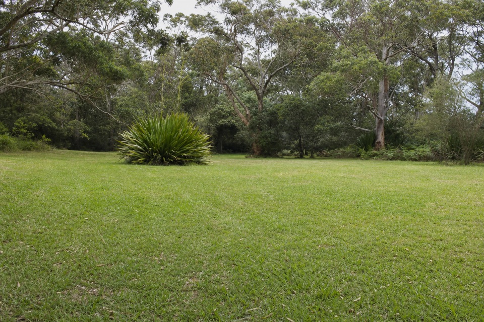 Picnic area · 1.2 km awayWaterfall Flat Picnic AreaA quick picnic beside heathland frequented by nectar-feeding birds.
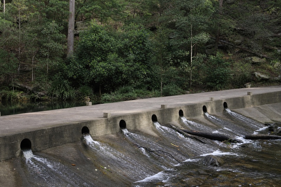 Picnic area · 1.3 km awayUpper Causeway Picnic AreaA quick picnic pause before a forest walk or bike ride.
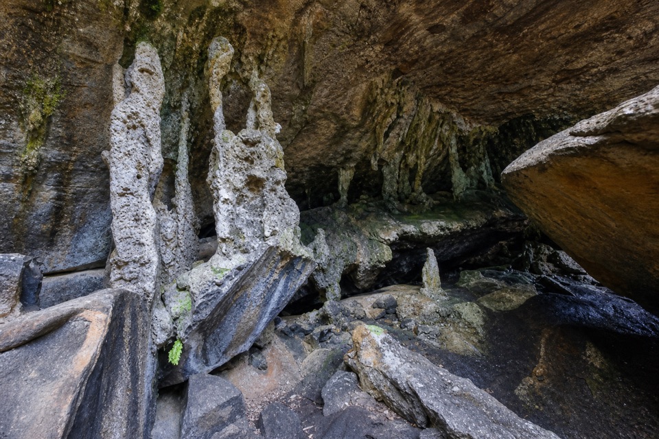 Sight · 2.7 km awayPalona CaveA shaded overhang and small waterfall reward a rainforest walk.
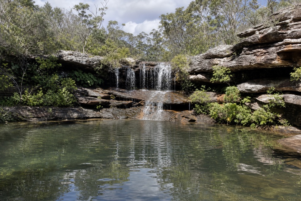 Sight · 3.4 km awayKangaroo PoolA rock-walled creek pool with a small waterfall.
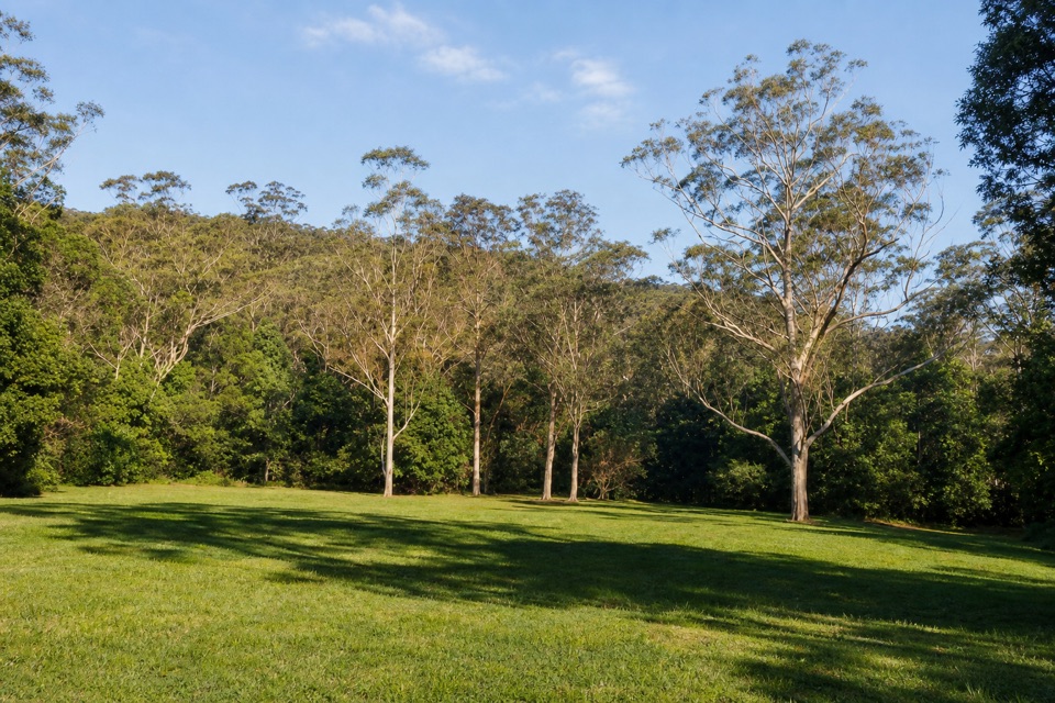 Picnic area · 3.7 km awayRed Cedar Flat Picnic AreaA handy grassy pause before nearby loop walks.
 Sight · 4.2 km awayGovernor Game LookoutA wide coastal pause on the road to Garie Beach.
Parkwolf’s Royal ranking

The audio tour guide for the drive, plus offline maps, trails, and wildlife heatmaps for when the signal drops.





