Parking
Flat Rock Creek Carpark, just west of Flat Rock Creek bridge on Sir Bertram Stevens Drive, about 6.6 km south of Audley.
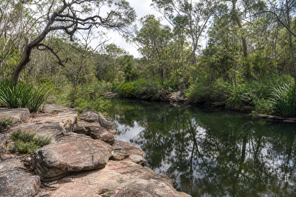
Royal National Park, NSW
A short walk to flat red sandstone and shallow pools.
Overview
Map & elevation
Plan your hike

The highest, rockiest slopes around here are a summer buffet for grizzly bears.
Royal Tour Guide
Parkwolf is a GPS audio tour guide for Royal National Park. As you drive, it chimes in with what’s ahead: hidden gems, upcoming stops, history, geology, and wildlife, right through your car’s speakers.
Recorded for this trailhead
Flat Rock Creek’s Red Sandstone“Flat Rock Creek's walking access is coming up, for a quick look at a red sandstone creek bed dotted with shallow pools and small cascades.”
Plays as you drive up to this trailhead in the Parkwolf Royal Tour Guide.
More stories near here in the app
“Fantastic app with many points of information… It’s great to just turn on while you’re driving and it gives you an audio tour of the national Park. We love it!!!!”


Trail guide
Flat Rock Creek Walk is a 300 m out-and-back from Flat Rock Creek Carpark to the creek and back. A signed, well-defined path descends gently through dry sclerophyll forest and over sandstone to a flat, red-hued creek bed. Allow about 15 minutes. It is a quick creek stop rather than a substantial bushwalk. The distance counts both legs; the mapped line follows the track one way.
Shallow pools and small cascades punctuate the sandstone bed, which stands out against the water and surrounding bush. The approach passes weathered rock formations, and native wildflowers may appear in spring. After rain, higher water can make the walk impassable and wet sandstone can be slippery.
Park at Flat Rock Creek Carpark, just west of Flat Rock Creek bridge on Sir Bertram Stevens Drive, about 6.6 km south of Audley. Follow the marked path down to the creek, then return the same way. Dogs and other domestic pets are not permitted in NSW national parks.
Wildlife
 56 sightingsHumpback WhaleMost seen around 11 AMSighting map
 68 sightingsWhite-bellied Sea-EagleMost seen around 9 AMSighting map
 12 sightingsKoalaMost seen around 6 PMSighting map
 33 sightingsJavan RusaMost seen around 6 PMSighting map
 69 sightingsShort-beaked EchidnaMost seen around 5 PMSighting map
 11 sightingsRed FoxMost seen around 5 PMSighting map
Sighting maps show where each species has been reported across Royal. Wildlife moves, so no sighting is guaranteed.
Keep exploring
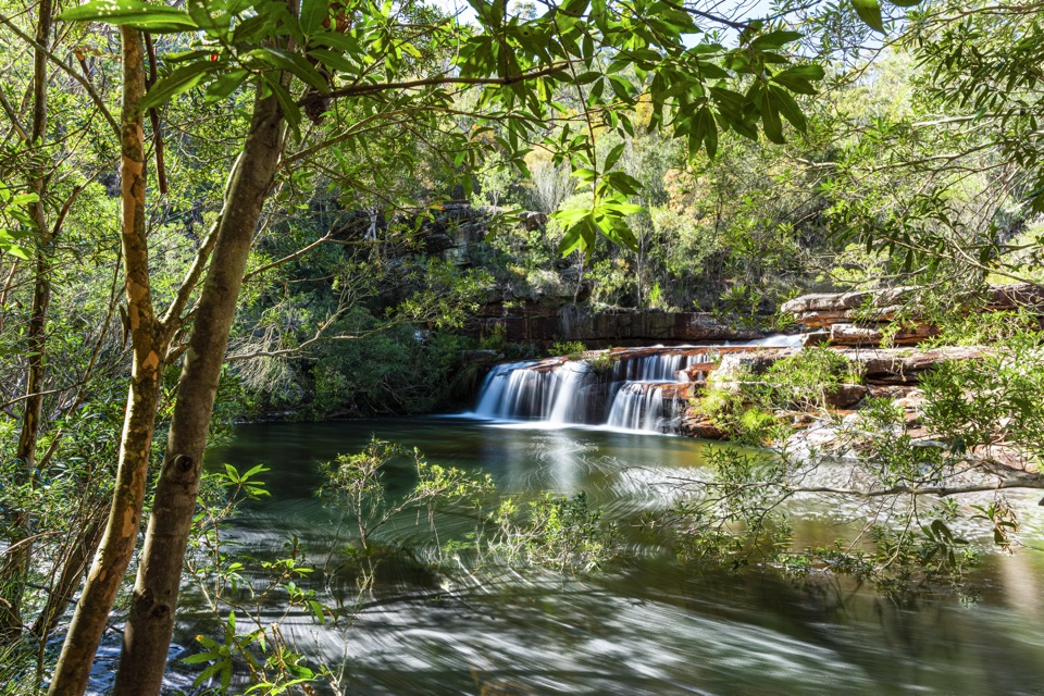 ChallengingMount Bass Trail to Winifred Falls7 km · 3.5 hr · 2 km awayA hard, rocky 7 km return to Winifred Falls
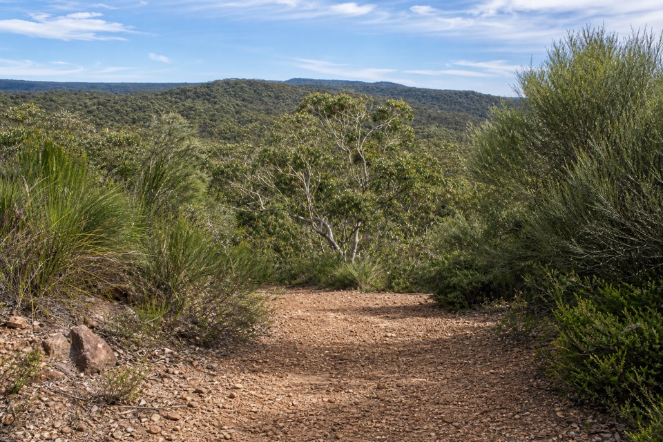 ModerateWises Track4.1 km · 1.5 hr · 3.2 km awayA one-way heath walk with a sandy banksia finish.
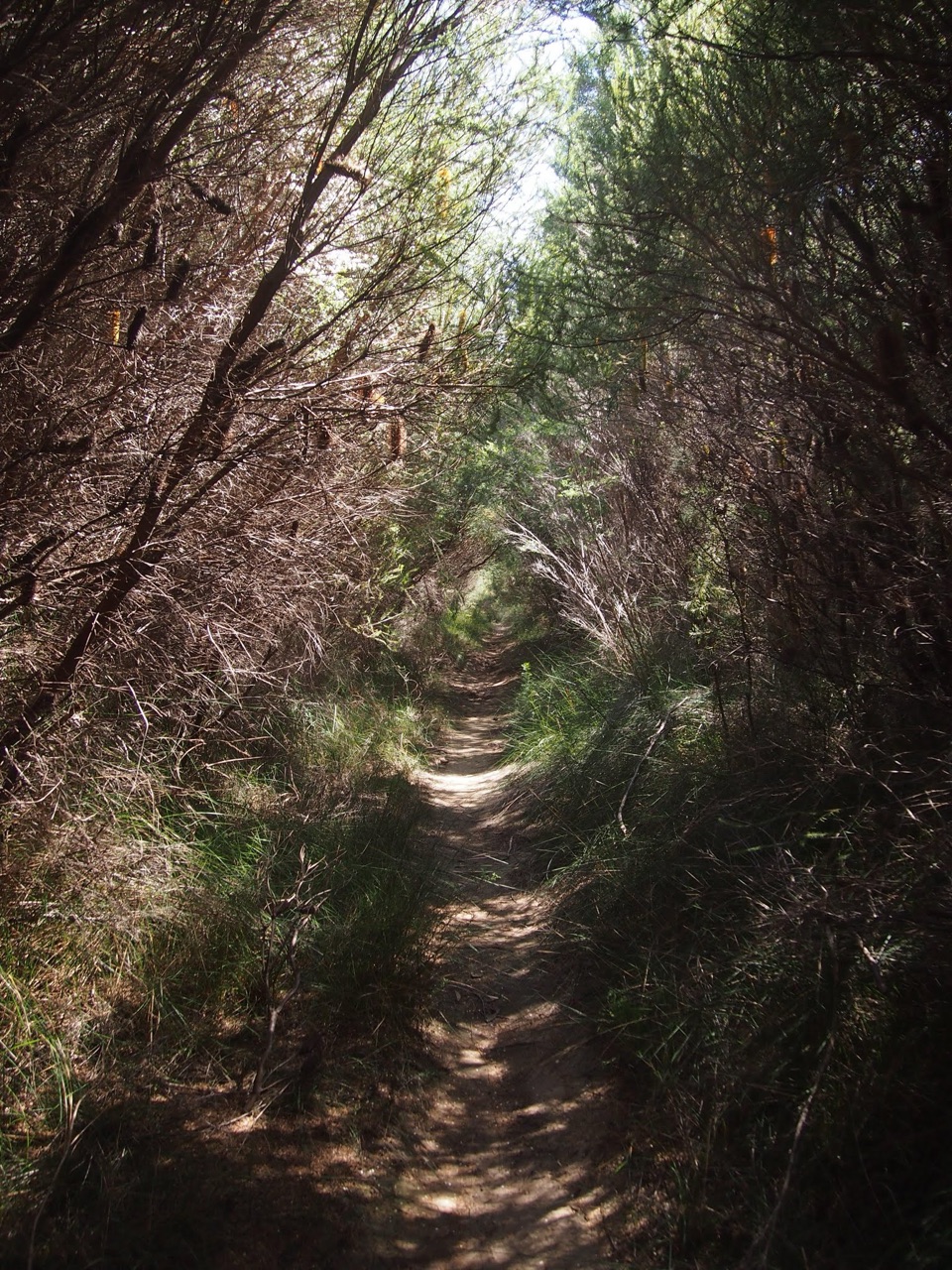 ModerateWinifred Falls Track3.1 km · 1.5 hr · 3.4 km awayA return fire trail drops to Winifred Falls and its deep pool.
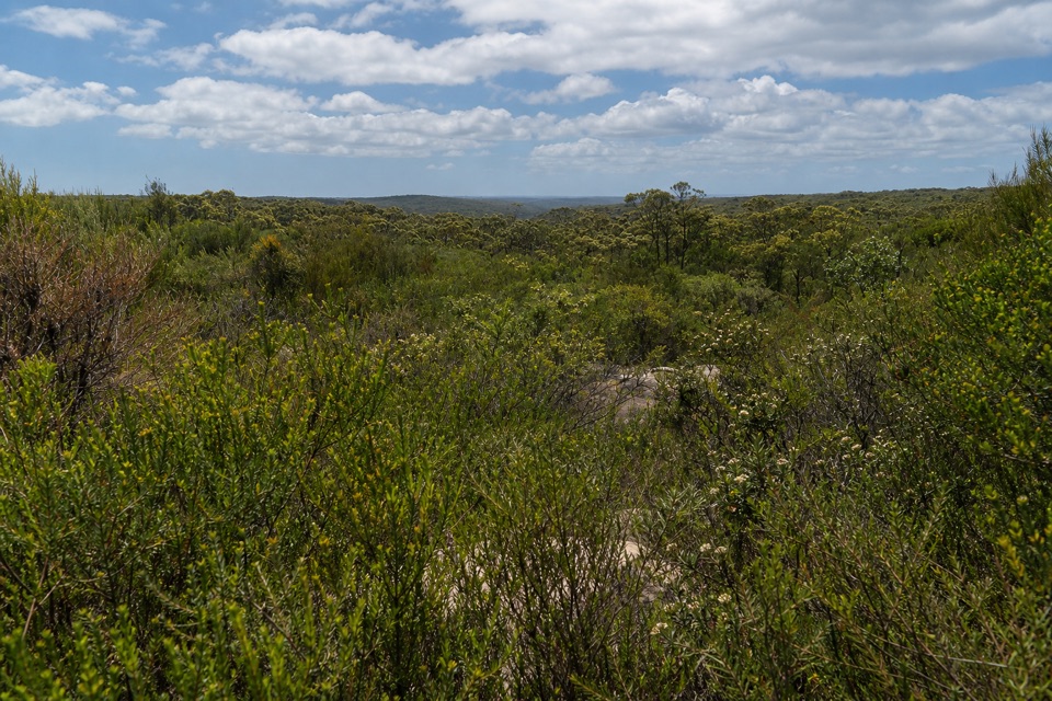 ModerateAnice Falls Walk4.1 km · 2 hr · 3.7 km awayA short return to a tucked-away waterfall best seen from above.
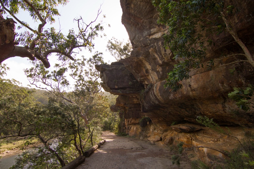 ModerateWillow Tree to Calala Hike10.5 km · 4 hr · 4 km awayAn old river road past sandstone, horse troughs and Calala’s beach.
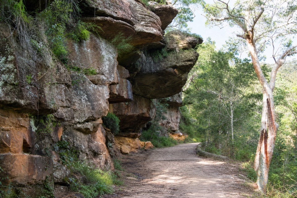 EasyGibraltar Rock Walk0.9 km · 45 min · 4 km awayAn easy old road leads to a sandstone overhang above the river
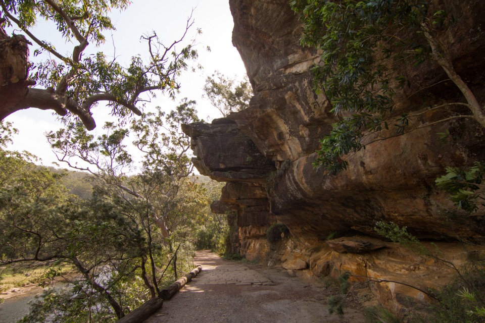 EasyJersey Spring Walk5.2 km · 1.8 hr · 4.1 km awayCobbles, creek culverts, and old horse troughs reward an easy walk.
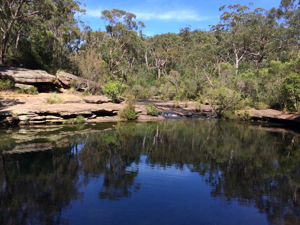 ModerateBottle Forest Track to Karloo Pool1.6 km · 45 min · 4.1 km awayA narrow bush track drops from a junction to Karloo Pool.
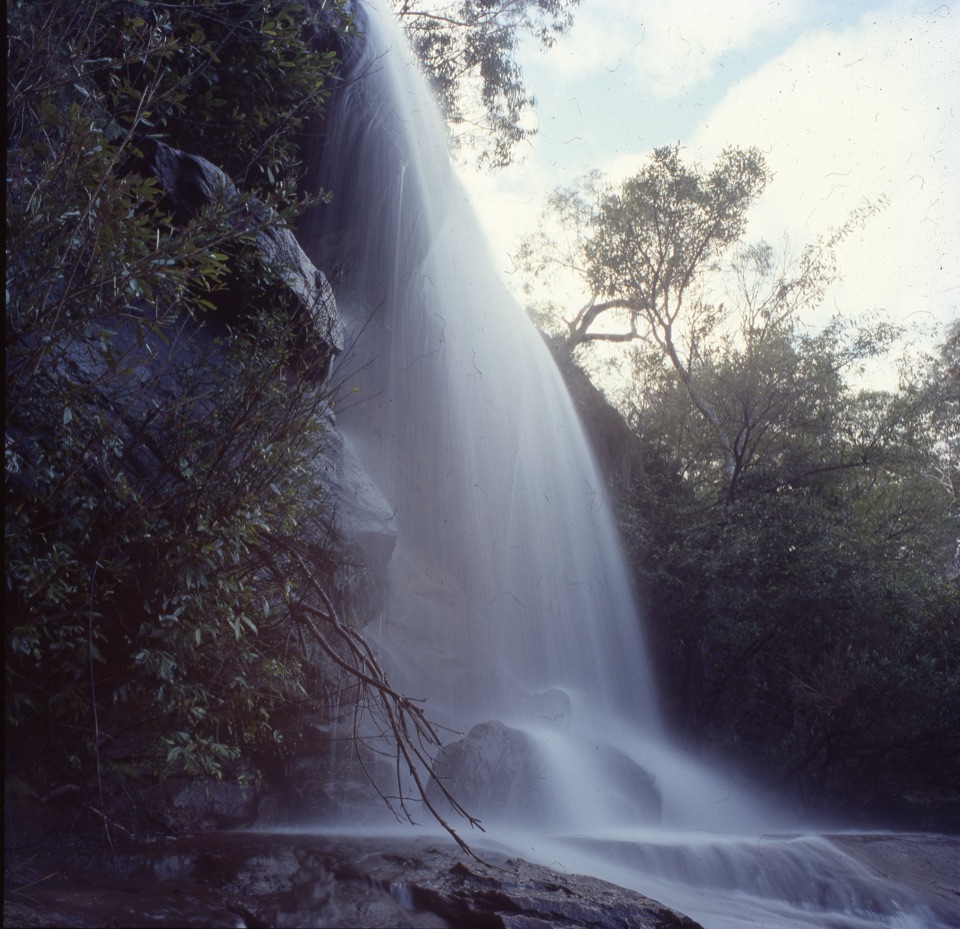 Sight · 2.6 km awayUloola FallsA walk-in waterfall best seen after rain.
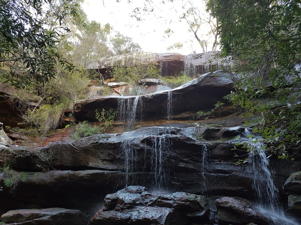 Campground · 2.7 km awayUloola Falls CampgroundAn overnight beside the falls, earned on foot.Sight · 2.8 km awayWinifred FallsA rocky bushwalk to a broad waterfall and creekside pool.
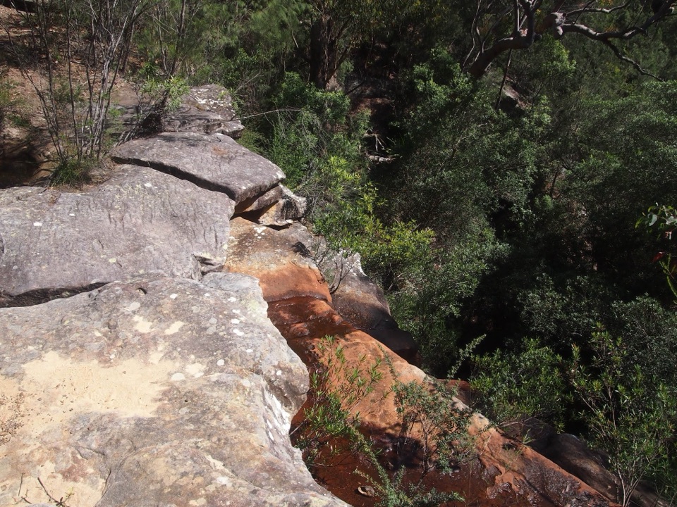 Sight · 2.8 km awayAnice FallsA smaller cascade for a longer Winifred Falls outing.
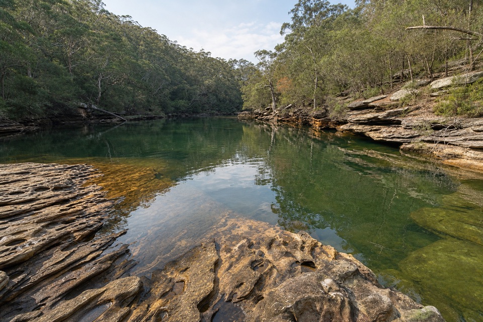 Sight · 3 km awaySouth West Arm PoolDeep water and a tidal sandbar below Winifred Falls.
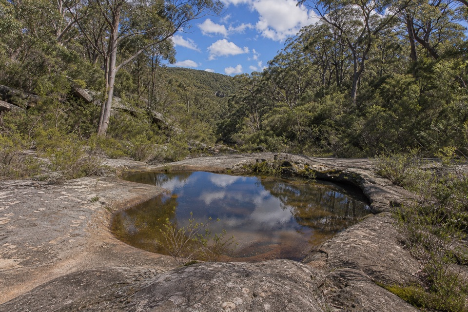 Sight · 3.1 km awayUloola TurretsA sandstone outcrop detour if you’re already walking the Karloo track.
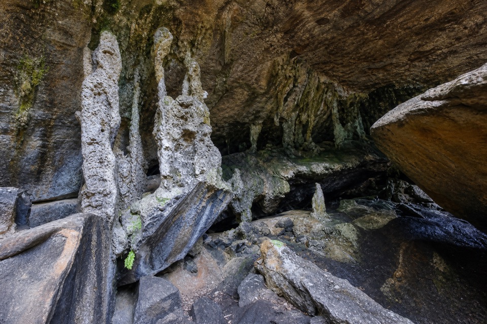 Sight · 3.6 km awayPalona CaveA shaded overhang and small waterfall reward a rainforest walk.
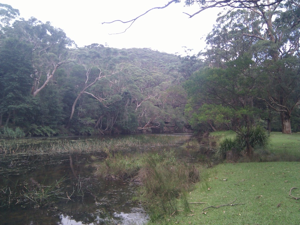 Picnic area · 3.7 km awayWattle Forest Picnic AreaTake lunch to the Hacking River and linger under the trees.
Parkwolf’s Royal ranking

The audio tour guide for the drive, plus offline maps, trails, and wildlife heatmaps for when the signal drops.





