Parking
Start at the Maianbar Road access where Saddle Gully Track meets the road. No formal parking area or capacity was verified; confirm legal parking before leaving a vehicle.
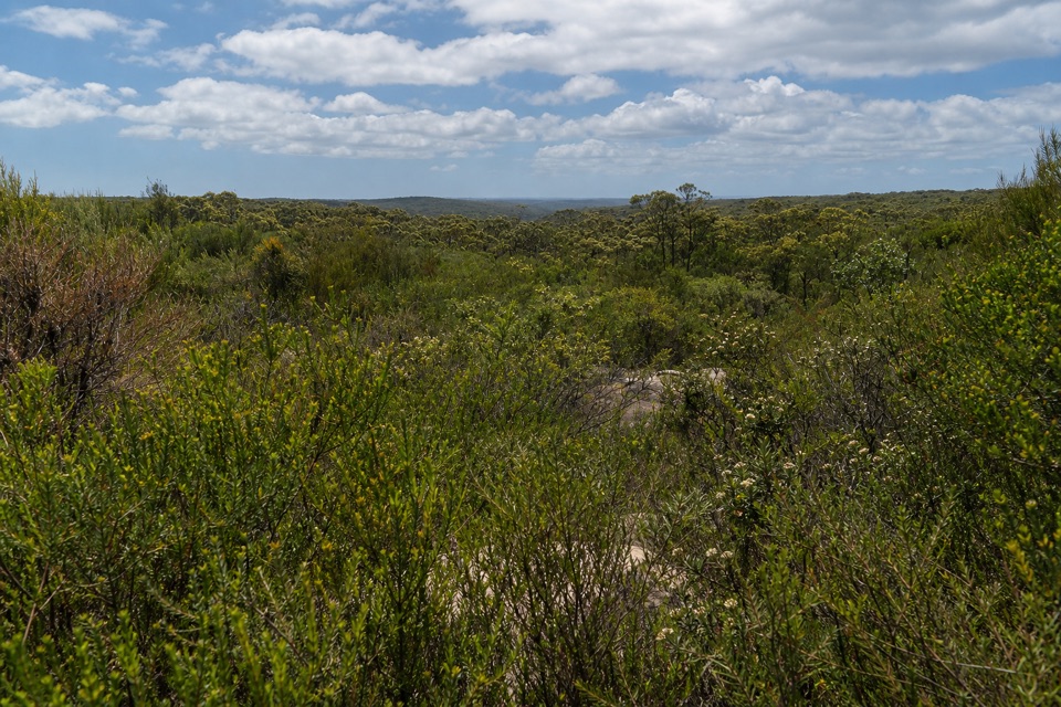
Royal National Park, NSW
A short return to a tucked-away waterfall best seen from above.
Overview
Map & elevation
Plan your hike

The highest, rockiest slopes around here are a summer buffet for grizzly bears.
Royal Tour Guide
Parkwolf is a GPS audio tour guide for Royal National Park. As you drive, it chimes in with what’s ahead: hidden gems, upcoming stops, history, geology, and wildlife, right through your car’s speakers.
Recorded for this area
How Rusa Deer Got Here“Royal’s wild rusa deer population began with an animal exhibit. In nineteen oh six, a small herd was introduced to a fenced enclosure in the park. Deer escaped, and their descendants spread.”
Plays on the road 0.3 km from the trailhead in the Parkwolf Royal Tour Guide.
More stories near here in the app
“Fantastic app with many points of information… It’s great to just turn on while you’re driving and it gives you an audio tour of the national Park. We love it!!!!”


Trail guide
Anice Falls Walk is about 4.1 km (2.55 miles) return from the Maianbar Road access, following Saddle Gully to an upper view of the falls and back the same way. Allow about 1½ to 2 hours. It suits walkers after a short bush route and a waterfall viewpoint, not a plunge-pool outing.
The track leaves Maianbar Road and winds through low scrub toward the gully. It is an unpaved path, and the mapped line drops from about 121 m at the road to 69 m by the falls, so expect the return to climb. The route reaches the falls from above; it does not include a descent to their base.
Saddle Gully Creek drops over a sequence of rock ledges before joining South West Arm Creek downstream; runoff from Mount Bass feeds it. The cascade is often only a trickle, so it shows best after rain. From the upper ledge, frame the rock steps and creek line, and keep back from the edge. The base is not an official public access point.
The route starts where the mapped Saddle Gully path meets Maianbar Road. A formal car park and parking capacity at this access could not be confirmed, so check that parking is legal before leaving a vehicle. No facilities or drinking water on the route were verified. Dogs and other pets are not permitted in the national park.
Wildlife
 56 sightingsHumpback WhaleMost seen around 11 AMSighting map
 68 sightingsWhite-bellied Sea-EagleMost seen around 9 AMSighting map
 12 sightingsKoalaMost seen around 6 PMSighting map
 33 sightingsJavan RusaMost seen around 6 PMSighting map
 69 sightingsShort-beaked EchidnaMost seen around 5 PMSighting map
 11 sightingsRed FoxMost seen around 5 PMSighting map
Sighting maps show where each species has been reported across Royal. Wildlife moves, so no sighting is guaranteed.
Keep exploring
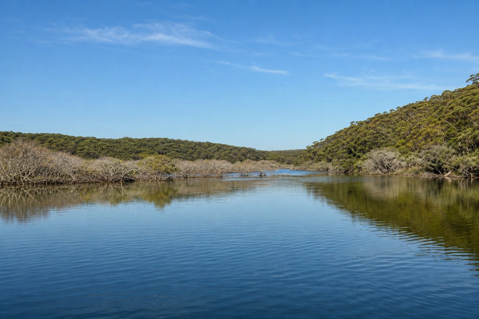 EasyCostens Point Walk2.5 km · 1.5 hr · 1.4 km awayA quick firetrail descent to old stone ruins by Port Hacking.
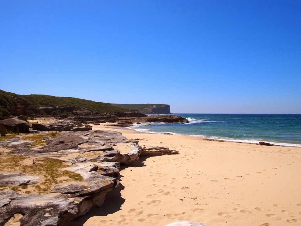 ModerateBundeena Drive to Marley walk7.8 km · 3.5 hr · 1.4 km awayHeath and creek pools make the coastal walk feel like two hikes.
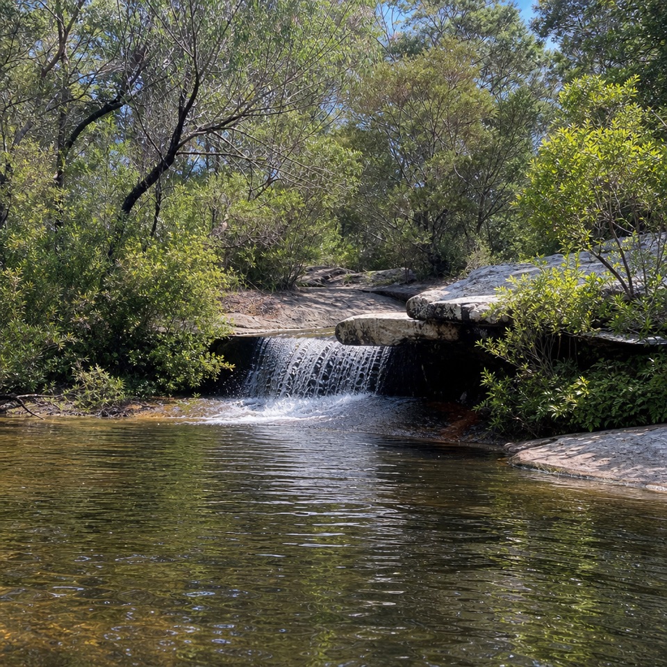 ModerateDeer Pools Walk4 km · 1.5 hr · 1.5 km awayA short heath walk to a shaded cascade and rock pool
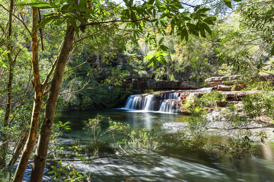 ChallengingMount Bass Trail to Winifred Falls7 km · 3.5 hr · 1.9 km awayA hard, rocky 7 km return to Winifred Falls
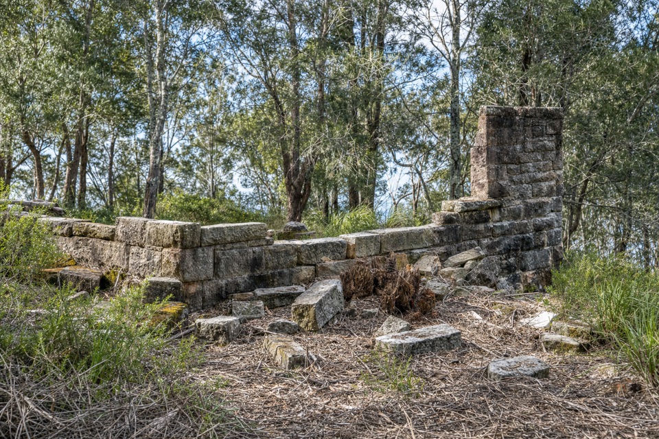 ModerateRed Jacks Point Walk2.1 km · 45 min · 2.4 km awayStone ruins and small islets reward a short bush walk.
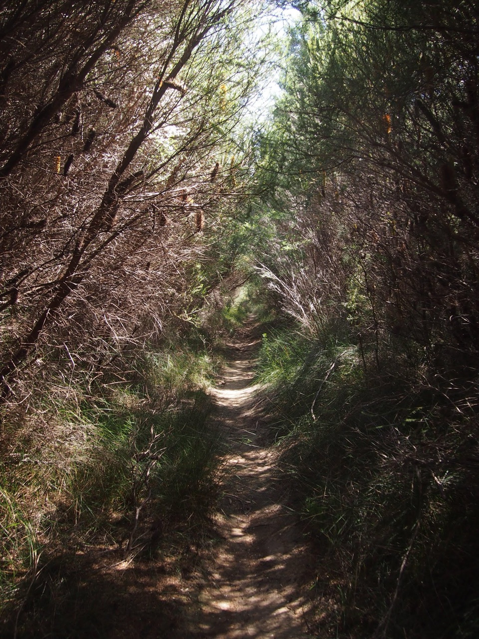 ModerateWinifred Falls Track3.1 km · 1.5 hr · 3 km awayA return fire trail drops to Winifred Falls and its deep pool.
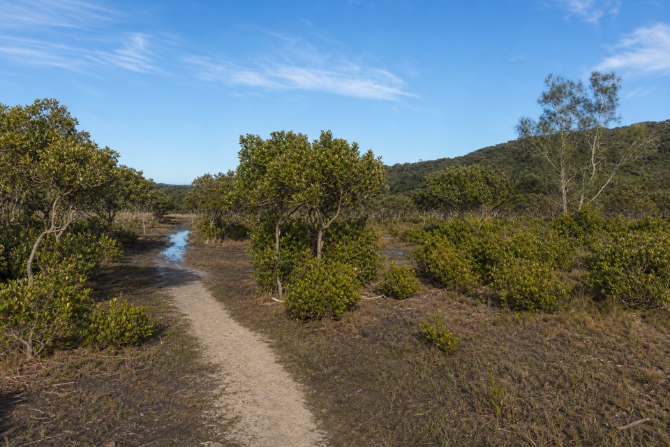 EasyBonnie Vale to Maianbar Walk1.5 km · 30 min · 3.5 km awayA quick creek crossing and bush climb to Maianbar.
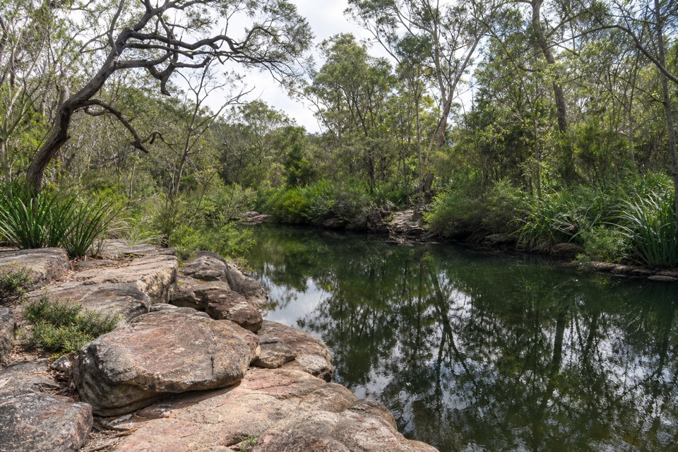 EasyFlat Rock Creek Walk0.3 km · 15 min · 3.7 km awayA short walk to flat red sandstone and shallow pools.
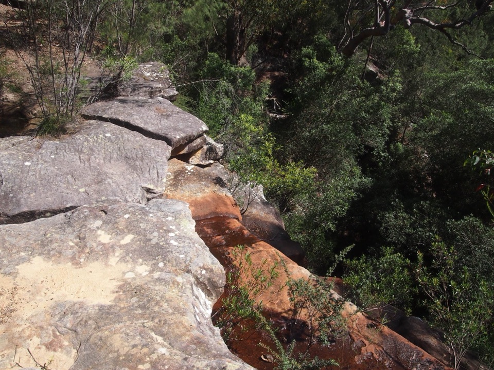 Sight · 1.7 km awayAnice FallsA smaller cascade for a longer Winifred Falls outing.
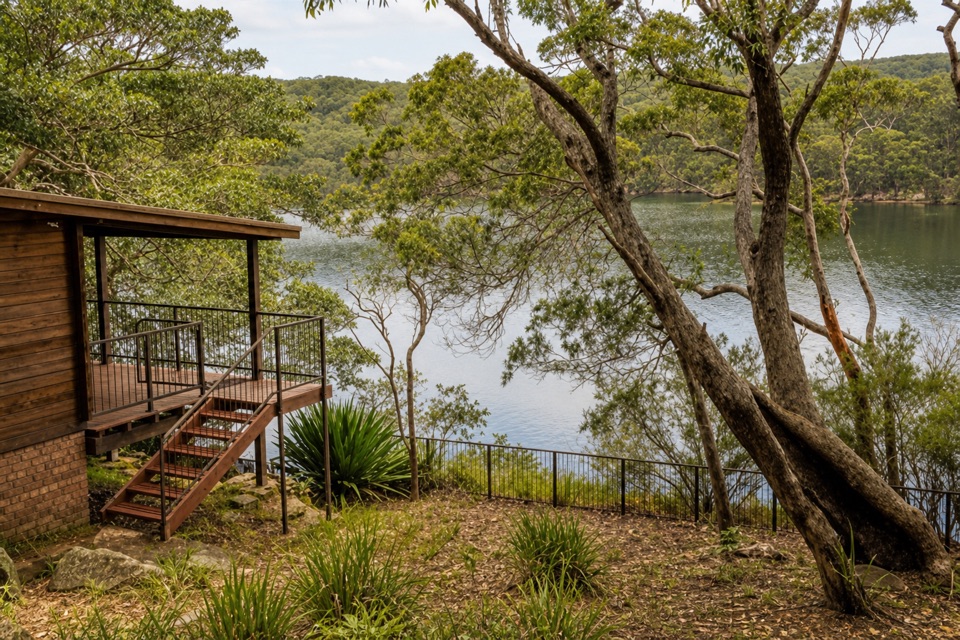 Lodging · 2 km awayWeemalah CottageA self-contained riverside stay for a group of up to six.Sight · 2.1 km awayWinifred FallsA rocky bushwalk to a broad waterfall and creekside pool.
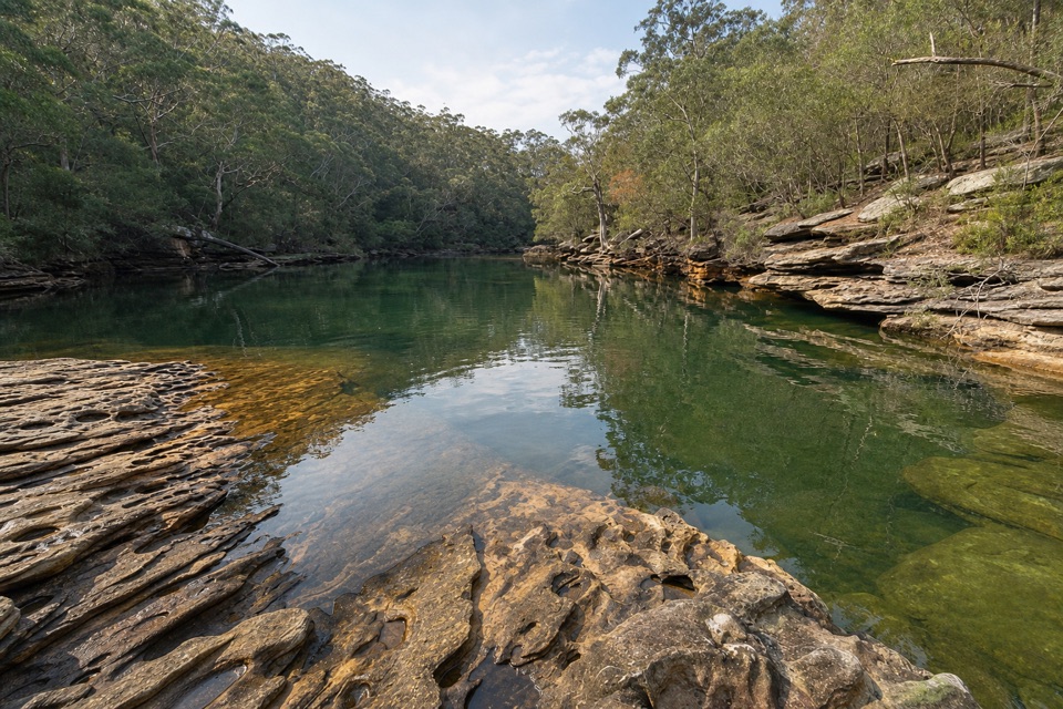 Sight · 2.3 km awaySouth West Arm PoolDeep water and a tidal sandbar below Winifred Falls.
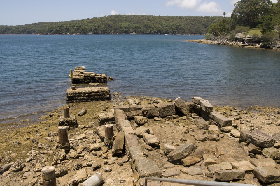 Picnic area · 2.4 km awayWarumbul Picnic AreaA quiet Port Hacking picnic with a short walk to the water.
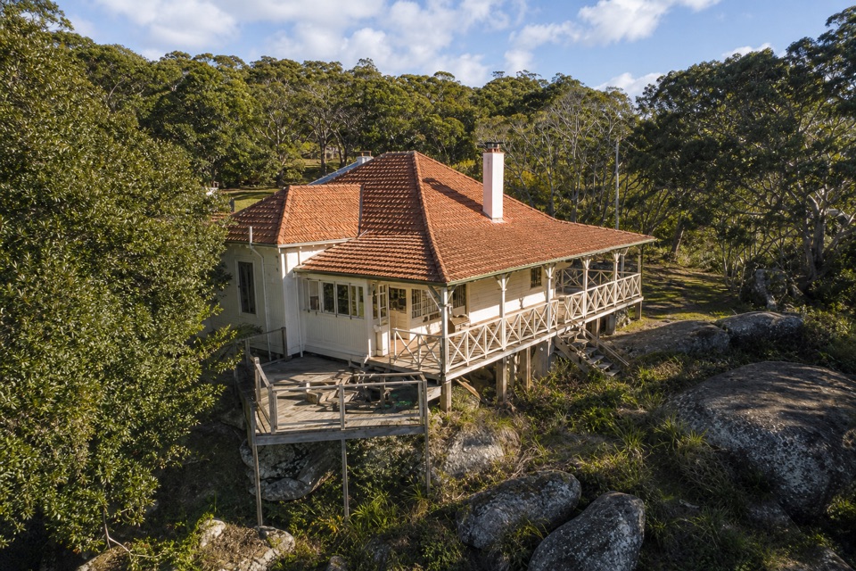 Lodging · 2.8 km awayHilltop CottageA heritage cottage for six, overlooking Port Hacking.
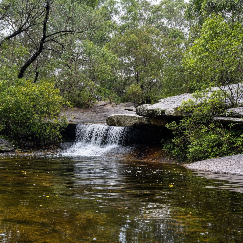 Sight · 3 km awayDeer PoolA small cascade and freshwater pool along the Marley walk.
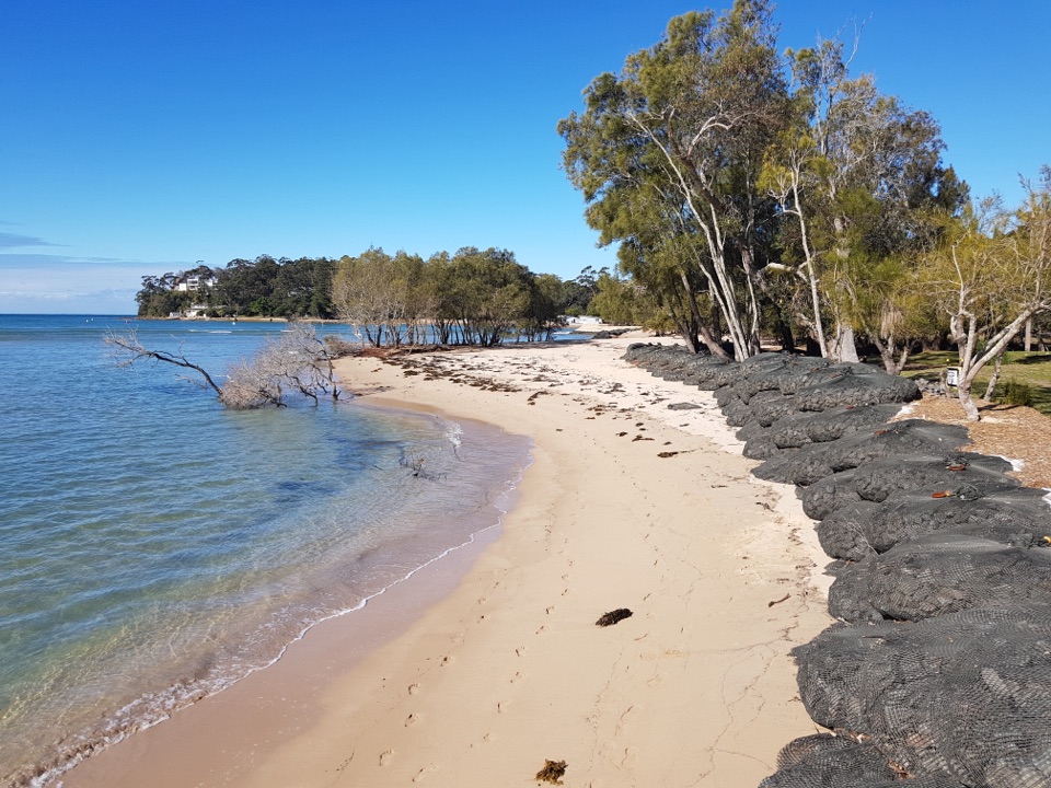 Campground · 3.5 km awayBonnie Vale CampgroundCamp beside a sandy spit with sheltered water right out front.
Parkwolf’s Royal ranking

The audio tour guide for the drive, plus offline maps, trails, and wildlife heatmaps for when the signal drops.





