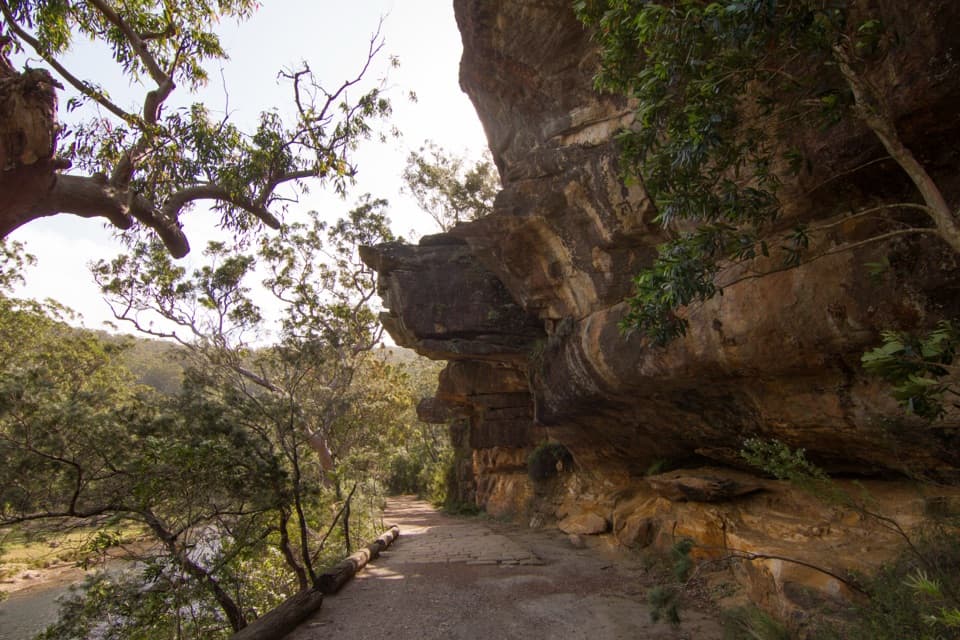
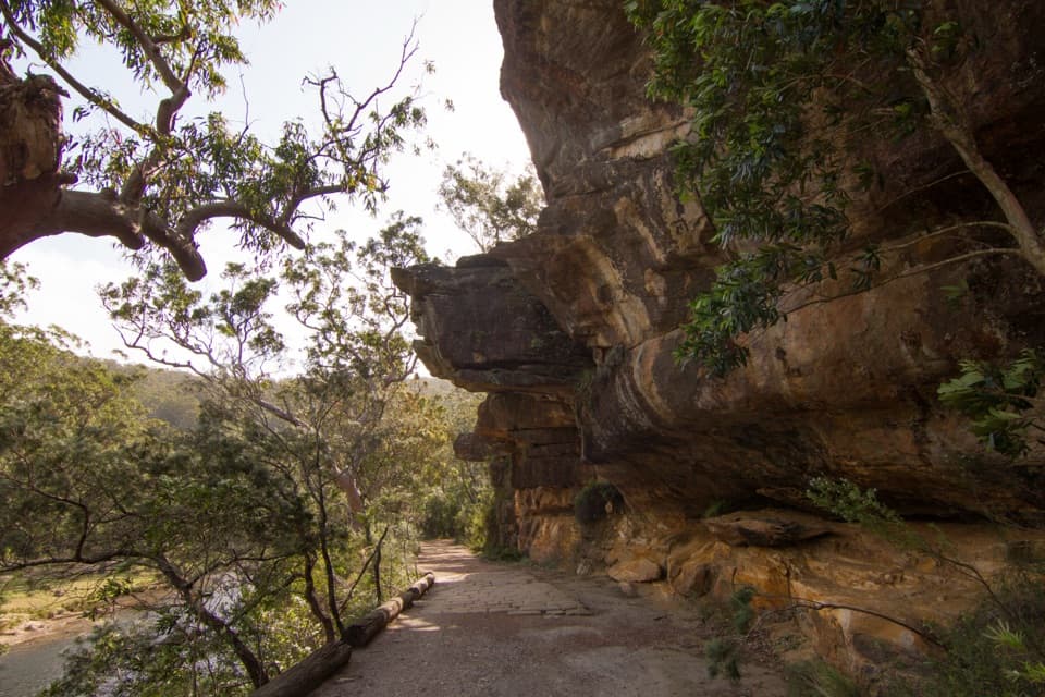
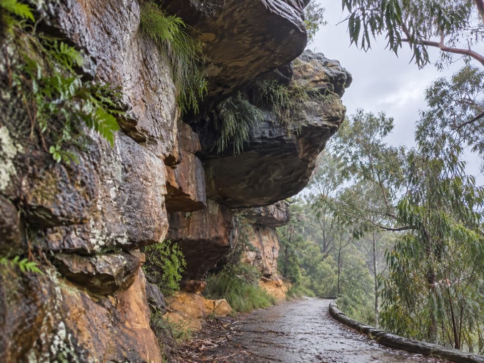
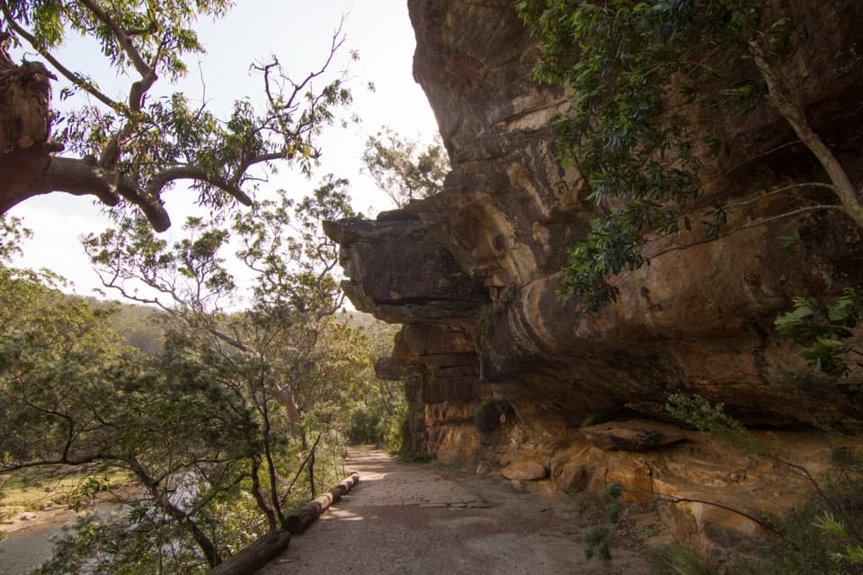
Reids Flat Picnic Area in Royal National Park

Picnic area · Royal National Park

Reids Flat Picnic Area

Shady riverside picnics, free barbecues, and still water for a swim.

Photo: Wikimedia Commons
Type
Picnic area
Nearest trail
0.5 km
Audio stories
7 nearby
  • Picnic tables
  • Parking
  • Restrooms

Hear the audio tour

Reids Flat and Pool Flat Picnics

Overview

About Reids Flat Picnic Area

Why stop

  • Shady tables and free gas barbecues beside still river water

Heads up

  • The small car park can get busy on weekends

Map

Where it is

Loading the Royal map
Full map
Picnic areaReids Flat Picnic Area-34.07002, 151.06001
Keep this map with you offline in the Parkwolf app

Plan your stop

Before you go

Getting there

Reach the picnic area from Riverside Drive. The car park is small and weekends can be busy, so try to arrive earlier if having a space matters. Park entry fees apply. A short side walk leads to a small waterside opening; the last stretch is rocky.

A park ranger sits on a dash-mounted phone, talking, as Parkwolf’s Tour Guide plays “Army Cutworm Moths: A Grizzly Bear Buffet” on Grand Loop Road below Dunraven Pass in Yellowstone
Parkwolf Tour GuideThe highest, rockiest slopes around here are a summer buffet for grizzly bears.

Royal Tour Guide

Your drive to Reids Flat Picnic Area, narrated.

Parkwolf is a GPS audio tour guide for Royal National Park. As you drive, it chimes in with what’s ahead: hidden gems, upcoming stops, history, geology, and wildlife, right through your car’s speakers.

See the Royal audio tour

Recorded for this place

Reids Flat and Pool Flat Picnics
0:00 / 0:16
“Reids Flat and Pool Flat are coming up, two picnic areas beside the Hacking River near Audley. Reids Flat has shady tables and free gas barbecues, so bring lunch to cook; you can also launch your own kayak.”

Plays as you drive up to Reids Flat Picnic Area in the Parkwolf Royal Tour Guide.

More stories near here in the app

  • Audley Boats, Lunch and the Dance Hall
  • Bungoona Lookout and River View
  • Willow Tree Walk to Jersey Spring
  • Winifred Falls Walking Access
  • 43 audio storiesacross Royal’s roads, triggered by GPS as you drive
  • Wildlife heatmapsfor Humpback Whale, White-bellied Sea-Eagle, Koala, and 13 more
  • Works offlinemaps, 69 trails, 58 places, and audio download before you lose signal
  • CarPlay readysimple controls built for the drive
★★★★★
“Fantastic app with many points of information… It’s great to just turn on while you’re driving and it gives you an audio tour of the national Park. We love it!!!!”
JMJamesApp Store review
Download Parkwolf on the App StoreGet Parkwolf on Google Play

4.7 from 8,600+ ratings

Guide

More about Reids Flat Picnic Area

A riverbank picnicReids Flat Picnic Area is a shady riverside picnic spot on the Hacking River near Audley, in…

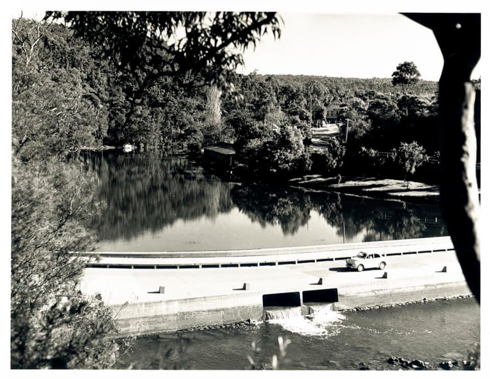
Reids Flat Picnic Area is a shady riverside picnic spot on the Hacking River near Audley, in Royal National Park’s northern section. It’s a good place to slow down for lunch, a swim or a paddle, with grass at the river’s edge and a wooded view across the water.

Barbecues and waterFree gas barbecues and picnic tables sit near the river, so bring what you want to cook and…

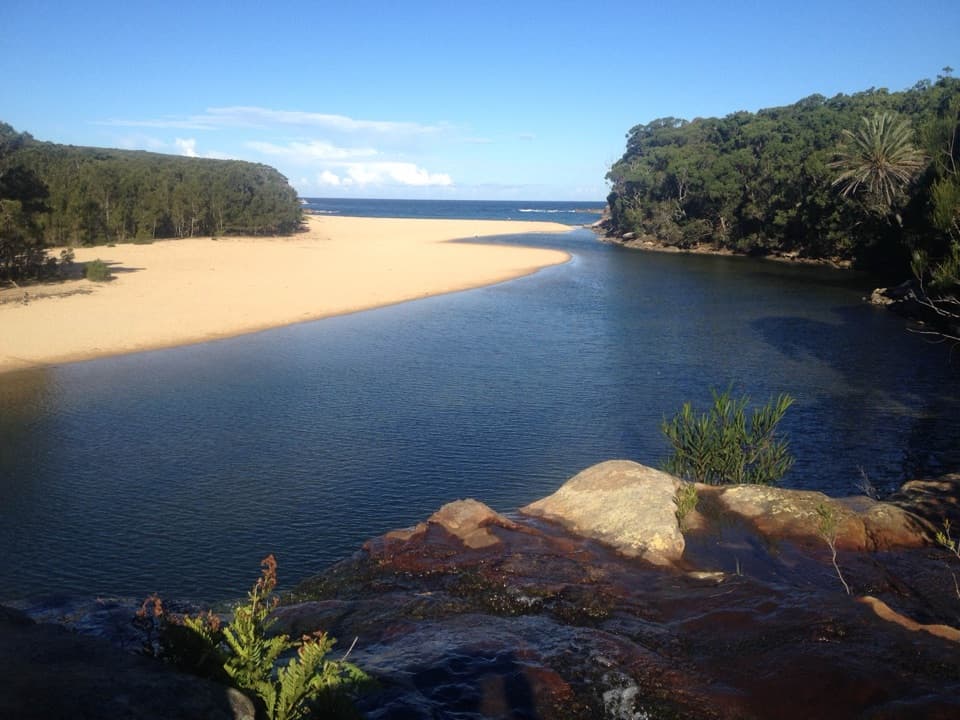
Free gas barbecues and picnic tables sit near the river, so bring what you want to cook and settle in. The water here is still and suits swimming or paddling; bring your own kayak if you want to get out on the river. Weir Cafe at Audley is a separate nearby stop for a bought treat.

Wildlife

Wildlife in Royal

All Royal wildlife maps

Sighting maps show where each species has been reported across Royal. Wildlife moves, so no sighting is guaranteed.

Keep exploring

Near Reids Flat Picnic Area

See it all on the map

Trails nearby

More stops nearby

Parkwolf’s Royal ranking

Top sights in Royal

All 58 places
  1. 1Wattamolla Beach and Picnic AreaBeach
  2. 2Wedding Cake RockSight
  3. 3Figure Eight PoolsSight
  4. 4Eagle RockSight
  5. 5Curracurrong FallsSight
  6. 6Jibbon Rock EngravingsSight

Take Parkwolf to Royal.

The audio tour guide for the drive, plus offline maps, trails, and wildlife heatmaps for when the signal drops.

4.7 from 8,600+ ratings

Download Parkwolf on the App StoreGet Parkwolf on Google Play