Parking
Start at Loftus Station, which is served by train. The walk finishes on Bundeena Drive at the Mount Bass Trail junction, so arrange a pickup or car shuttle before setting out; no public transport serves the endpoint.
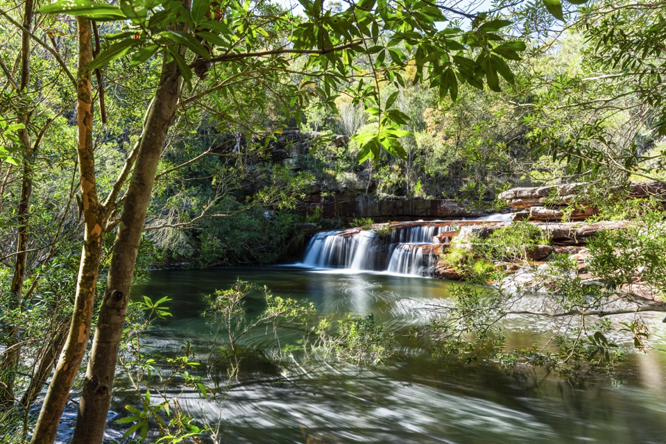
Royal National Park, NSW
Follow an old tramway to a waterfall, then exit along a ridge.
Overview
Map & elevation
Plan your hike

The highest, rockiest slopes around here are a summer buffet for grizzly bears.
Royal Tour Guide
Parkwolf is a GPS audio tour guide for Royal National Park. As you drive, it chimes in with what’s ahead: hidden gems, upcoming stops, history, geology, and wildlife, right through your car’s speakers.
Recorded for this area
A Railway’s Second Life“Near Loftus, the tram line into the park began as a railway branch. Train services stopped in nineteen ninety-one after signal failures. The Sydney Tramway Museum took it over and rebuilt it for heritage trams.”
Plays on the road 1 km from the trailhead in the Parkwolf Royal Tour Guide.
More stories near here in the app
“Fantastic app with many points of information… It’s great to just turn on while you’re driving and it gives you an audio tour of the national Park. We love it!!!!”


Trail guide
Loftus to Winifred Falls is a 12 km one-way walk from Loftus Station to Bundeena Drive at the Mount Bass Trail junction. It takes about four hours and gains roughly 388 m. Rawson Parade Trail and Honeymoon Track lead through the old tramway and Audley precinct before the route reaches Winifred Falls and climbs out along a ridgeline track. Arrange a pickup at Bundeena Drive before you start; there is no public transport at the finish.
From Loftus Station, the route uses the station stairs and local streets, crosses the tram line, Rawson Avenue and Princes Highway, then follows the highway for about 400 m before picking up the track. The old tramway alignment passes a historic tram station and the Royal National Park Education Centre. Honeymoon Track descends through bushland toward a toilet block and bridge, then climbs toward the visitor centre. You cross Sir Bertram Stevens Drive before joining the Winifred Falls route.
The falls approach climbs through sandstone bush and rocky pinches, then drops under shade toward the creek. A steep, rough side track reaches the pool below Winifred Falls; continue downstream for a second deep pool among large boulders. After the falls, the route crosses small creeks and gullies, then climbs more gently through tall trees along a ridgeline management track. On clear days there are occasional Sydney skyline glimpses before the walk ends on Bundeena Drive near Mount Bass Trail.
Wildlife
 56 sightingsHumpback WhaleMost seen around 11 AMSighting map
 68 sightingsWhite-bellied Sea-EagleMost seen around 9 AMSighting map
 12 sightingsKoalaMost seen around 6 PMSighting map
 33 sightingsJavan RusaMost seen around 6 PMSighting map
 69 sightingsShort-beaked EchidnaMost seen around 5 PMSighting map
 11 sightingsRed FoxMost seen around 5 PMSighting map
Sighting maps show where each species has been reported across Royal. Wildlife moves, so no sighting is guaranteed.
Keep exploring
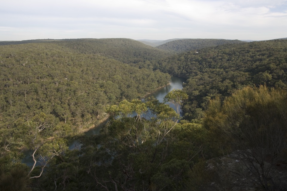 EasyBungoona Lookout and Path0.9 km · 30 min · 2.1 km awayA short, step-free path to a broad Hacking River view
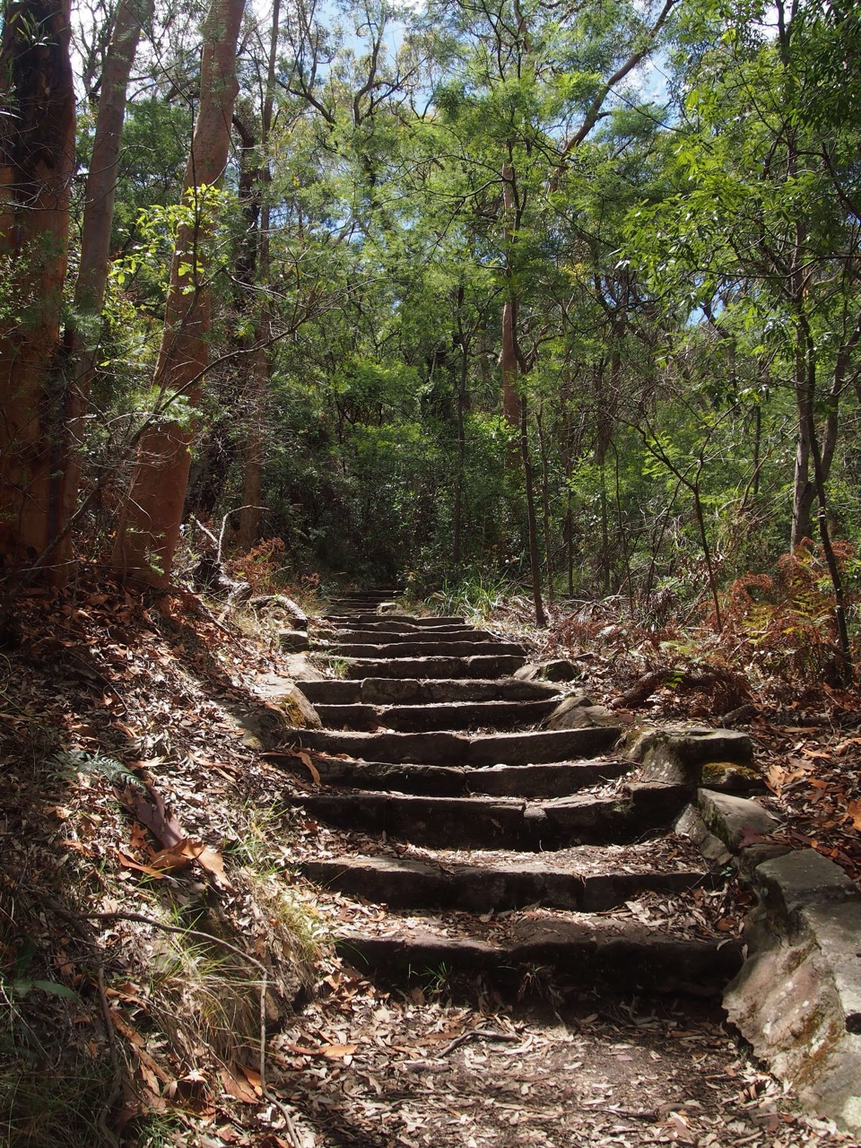 ModerateHoneymoon Track3.2 km · 1.5 hr · 2.2 km awayA steep staircase drops more than 600 steps to the Hacking River.EasyFlorence Parade Trail to Bungoona Lookout2.4 km · 36 min · 2.6 km awayA short fire-road walk to a sweeping Hacking River lookout.
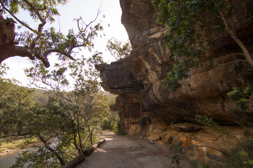 EasyLady Carrington Drive10 km · 3 hr · 3.2 km awayA gentle riverside carriage road, best walked one way.
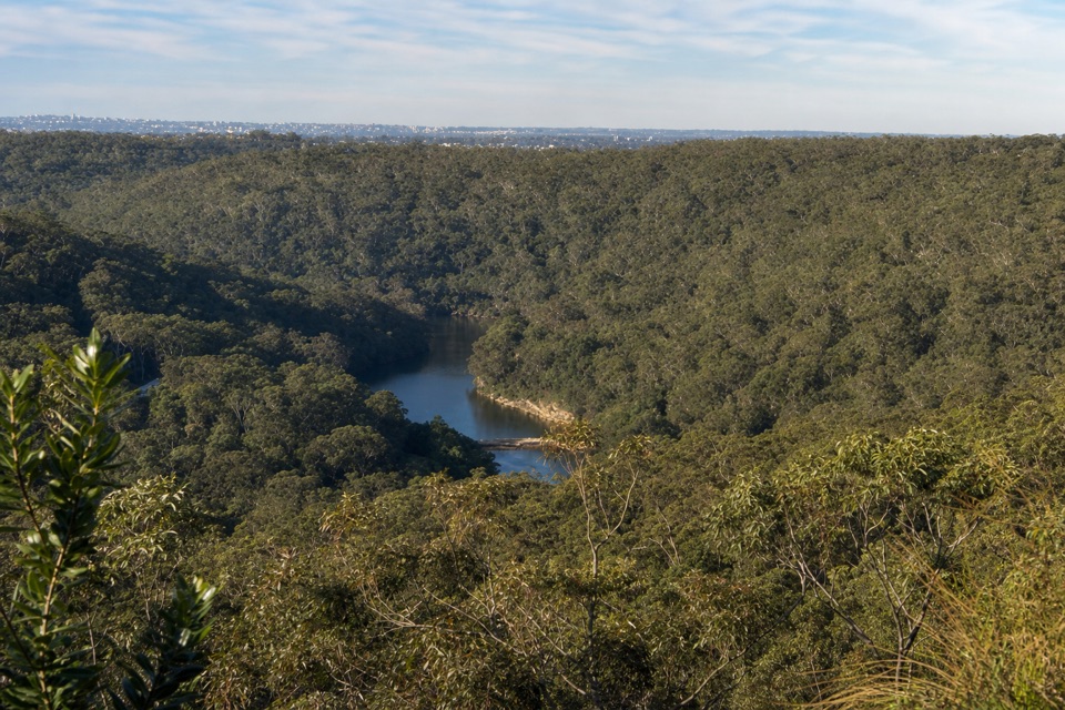 ModerateRobertson's Roundabout Walk2.3 km · 1.3 hr · 3.4 km awayA short, steep loop to a wooded Hacking River lookout.
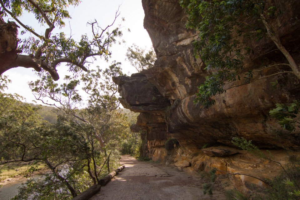 EasyJersey Spring Walk5.2 km · 1.8 hr · 3.8 km awayCobbles, creek culverts, and old horse troughs reward an easy walk.
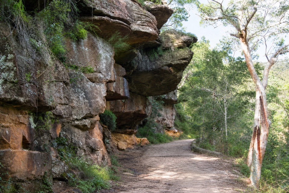 EasyGibraltar Rock Walk0.9 km · 45 min · 3.8 km awayAn easy old road leads to a sandstone overhang above the river
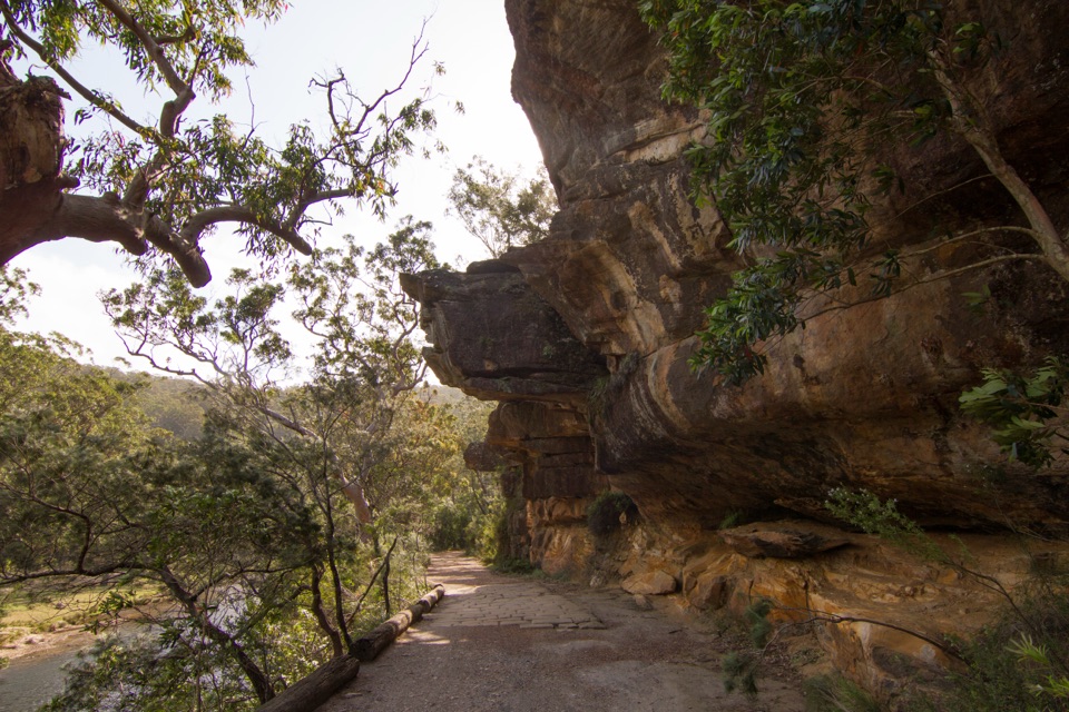 ModerateWillow Tree to Calala Hike10.5 km · 4 hr · 3.8 km awayAn old river road past sandstone, horse troughs and Calala’s beach.
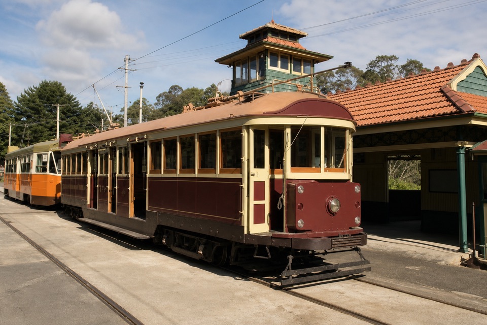 Sight · 0.1 km awaySydney Tramway MuseumA former railway branch carries vintage trams into the park.Sight · 2.2 km awayBungoona LookoutAn easy ridge stroll to a bend in the Hacking River.
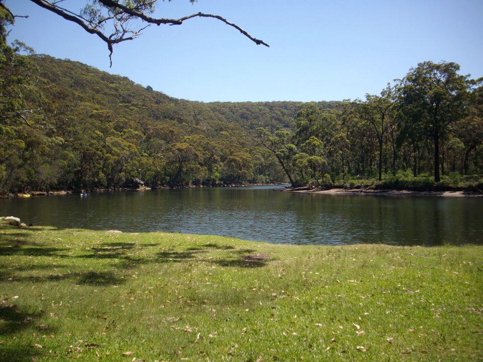 Picnic area · 2.9 km awayReids Flat Picnic AreaShady riverside picnics, free barbecues, and still water for a swim.
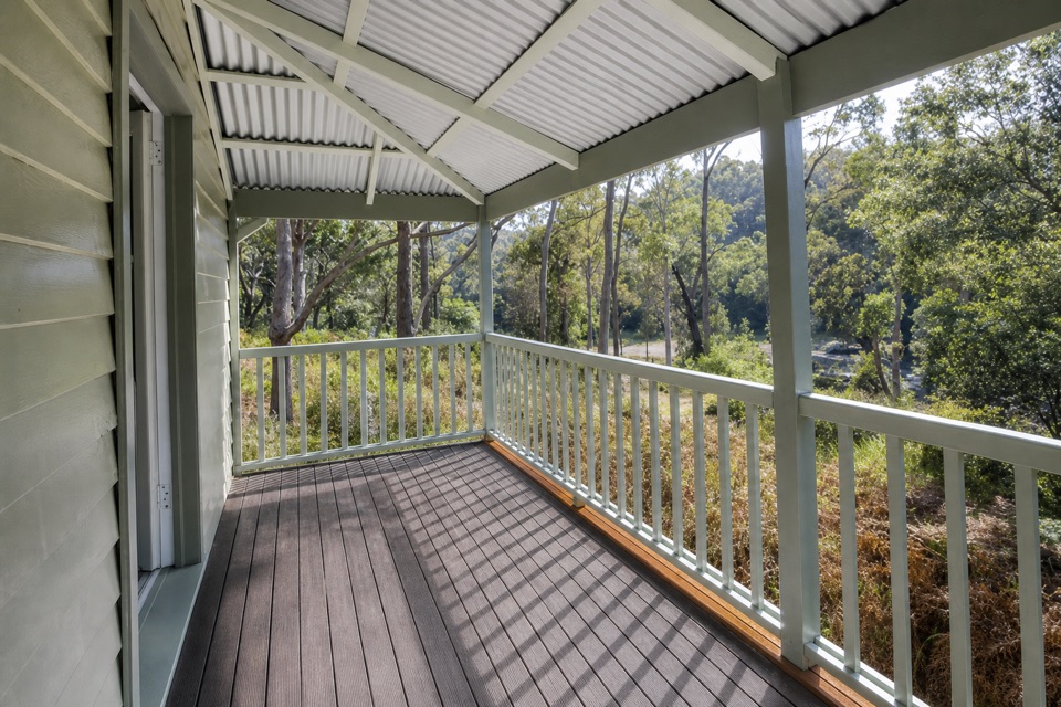 Lodging · 3 km awayReids Flat CottageA heritage riverside stay with paddling and cycling close by.
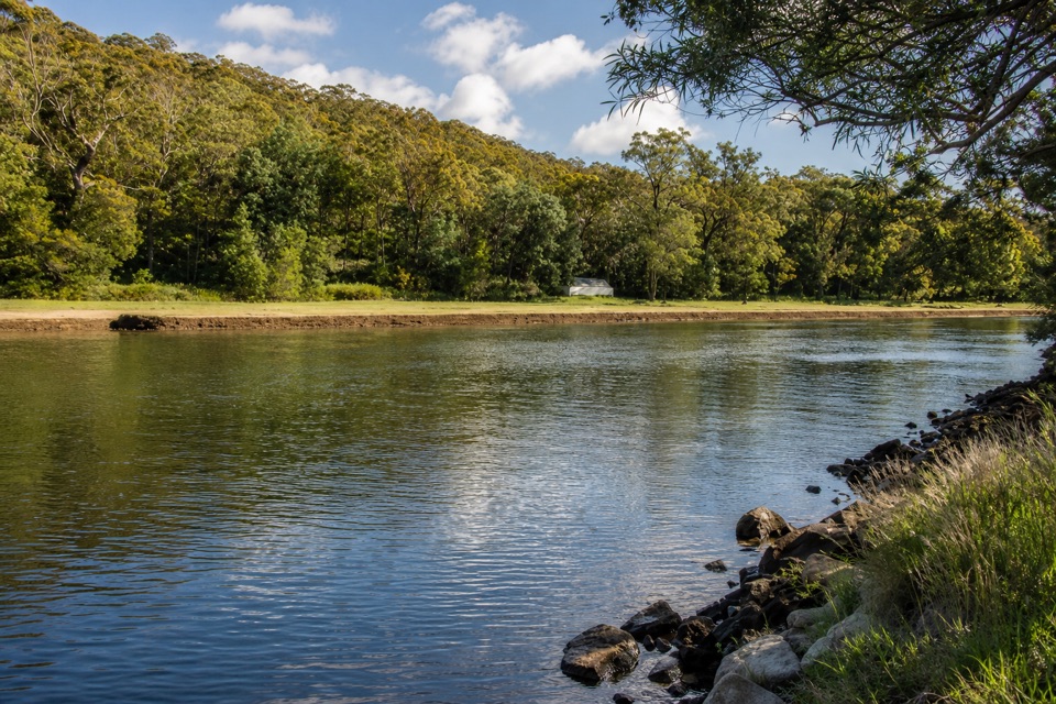 Picnic area · 3.1 km awayPool Flat Picnic AreaA picnic, swim or paddle on the Hacking River.
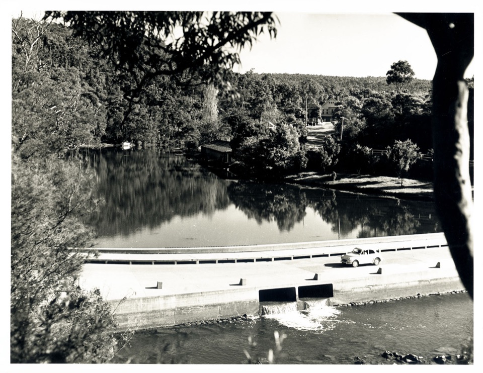 Sight · 3.3 km awayAudley BoatshedHistoric boat hire with a sandstone-lined creek to paddle.
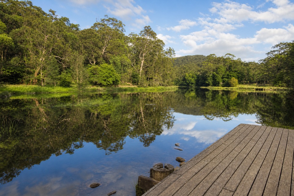 Picnic area · 3.4 km awayIronbark Flat Picnic AreaAn easy riverside lunch with free barbecues and a café nearby.
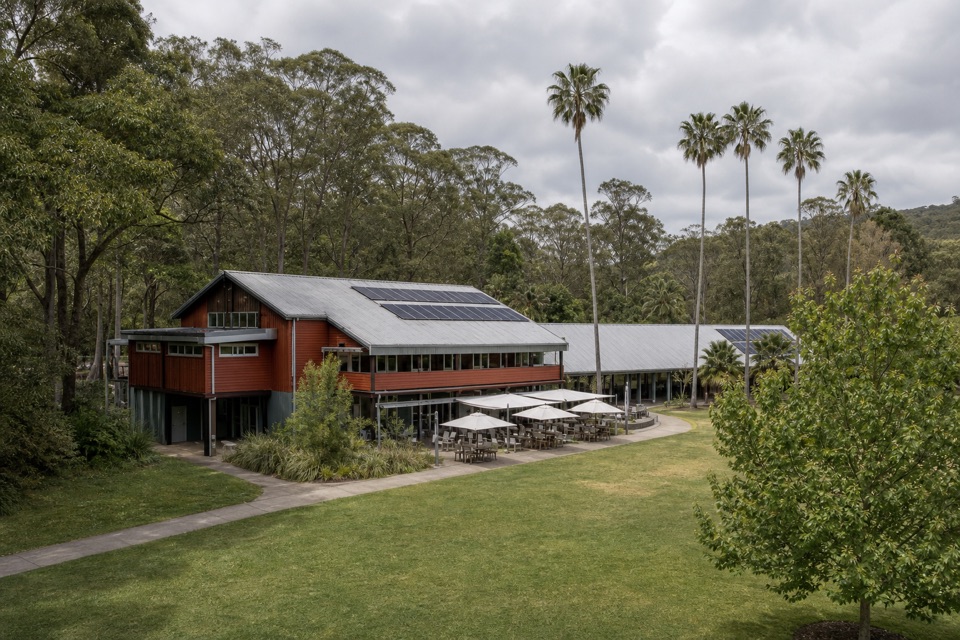 Visitor center · 3.4 km awayRoyal National Park Visitor CentreGet track advice before exploring Audley’s historic riverfront.
Parkwolf’s Royal ranking

The audio tour guide for the drive, plus offline maps, trails, and wildlife heatmaps for when the signal drops.





