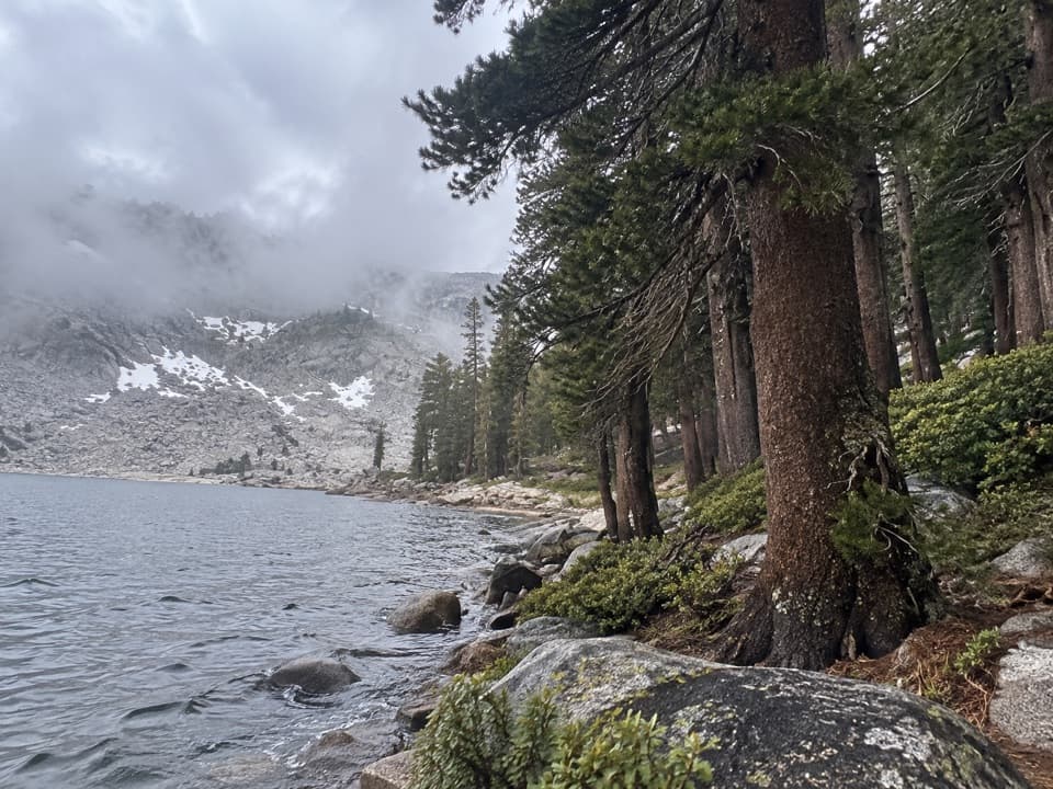
Pros & cons
PROS
- Grandstand views of colorful metamorphic peaks from the pass
- Mining relics along the route add a dash of history
CONS
- Early-season creek crossings can be knee-deep and cold
- Marmots at trailheads can damage vehicle hoses
- Trail becomes faint and overgrown beyond the pass
Park at the Mineral King Farewell Gap/Franklin Lakes trailhead lot in the Mineral King area.
Two early creek crossings can be swift in high-snow years; marmots at trailheads may chew vehicle hoses; beyond the pass the trail is faint with loose scree and overgrowth—plan extra time and bring navigation.
Overview
This is a rewarding high-country out-and-back to Farewell Gap, a pass over 10,500 feet that marks the boundary with the Golden Trout Wilderness. Expect 12.6 miles total and about 2,867 feet of gain—most strong hikers need roughly 6–7 hours round trip. It’s a well-graded climb on the park side, delivering big views and a real sense of Sierra scale.
Route and Scenery
From the Mineral King trailhead, the path shares its first 2.8 miles with the Franklin Lakes Trail before splitting—right for Farewell Gap. Lower down, you’ll wind through aspen groves, pines, and thick manzanita, with lively creek corridors. Two early crossings (Crystal Creek and Franklin Creek) can be easy rock hops in dry years but may be knee-deep early season.
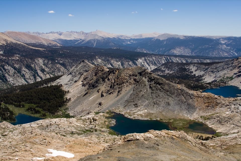
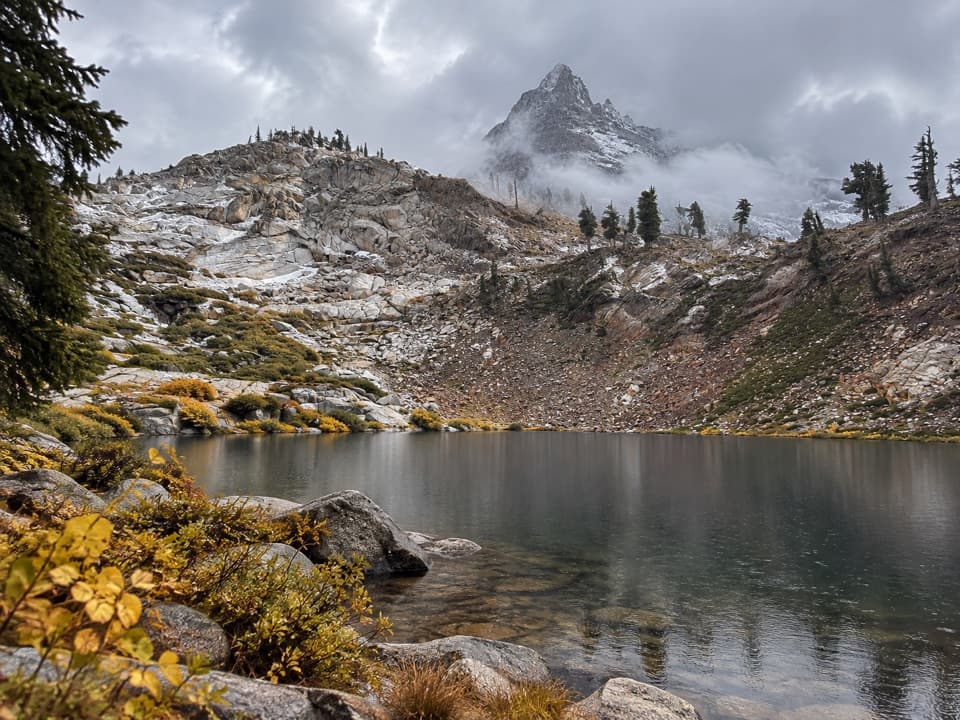
Beyond the Franklin Lakes junction the switchbacks steepen, the forest thins, and the terrain grows more barren as you gain altitude. From the pass, you’ll look south toward the headwaters of the Little Kern River, with far-off views including Hockett Meadows, Cahoon Rock, and Homer’s Nose; northward, the skyline includes Hengst Peak, White Chief Peak, and Florence Mountain. Keep an eye out for colorful metamorphic rock bands and old mining relics tucked into the hillsides.
Who Will Like It
Day hikers who enjoy a sustained climb to a dramatic pass will love this one. If you plan to continue beyond Farewell Gap into the Golden Trout Wilderness, be ready for a much rougher experience: fainter/overgrown tread, loose scree, and occasional washouts. Strong backpackers sometimes link the pass with Franklin Pass, Silver Lake, and Shotgun Pass, but conditions south of the pass can slow your pace considerably.
Best Time to Hike
Late summer into early fall offers the most predictable water levels at the creek crossings and generally clear tread on the park side. In low‑snow years, late May can be surprisingly clear below about 9,000 feet, and the south side of the pass has been snow‑free early in some seasons—but expect variability. Thunderstorms can pop up in summer, so start early and watch the sky.
Permits and Camping
No permit is required for a day hike. Wilderness permits are required for any overnight; quotas can fill fast around holiday weekends, so bring a Plan A/B/C. Same‑day walk‑up permits are possible. The first legal campsite along this corridor is about 4 miles in near the Farewell Gap/Franklin Lakes junction. If you detour to Franklin Lakes, there are food storage boxes at the lakes.
Tips and Hazards
- Trekking poles help with the two early crossings, especially in higher‑flow years.
- Marmots at Mineral King trailheads have been known to chew car hoses—many locals tarp or wrap their vehicles.
- Near the top, if use paths look eroded, stick to the main switchbacks; they’re the maintained line.
- South of the pass, expect fainter tread, overgrowth, and loose scree—allow extra time and bring solid navigation.
- Pets are not allowed on this trail.
Elevation
12.6 mi · 6.6 hrWildlife on this trail
Near Farewell Gap Trail
All places →All trails →
General Sherman TreeThe world’s largest tree by volume, framed by a cathedral of sequoiasTrailhead · Restroom
Sherman Tree ViewWorld’s largest tree on a short, interpretive forest walkParking · Restroom
Moro RockHistoric stairway to Great Western Divide viewsTrailhead · Parking
Mount WhitneyHighest Lower 48 summit via a demanding alpine trekScenic Viewpoint
Mount Whitney TrailHighest point in the contiguous U.S. via epic, endless switchbacks.Challenging · 22 mi · 13 hr
High Sierra TrailCrescent Meadow to Whitney: granite, hot springs, big skyChallenging · 70.5 mi · 168 hr
John Muir TrailForester Pass to Whitney: the JMT’s high, airy finish in SequoiaChallenging · 211 mi · 504 hr
Sherman Tree TrailPaved stroll to Earth’s largest tree, with a huff on the way back.Easy · 1.1 mi · 36 min