Parking
Start at Lady Bug Trailhead at the east end of South Fork Campground, reached by South Fork Road. The official route description identifies parking at the trailhead; no alternate lot was found.
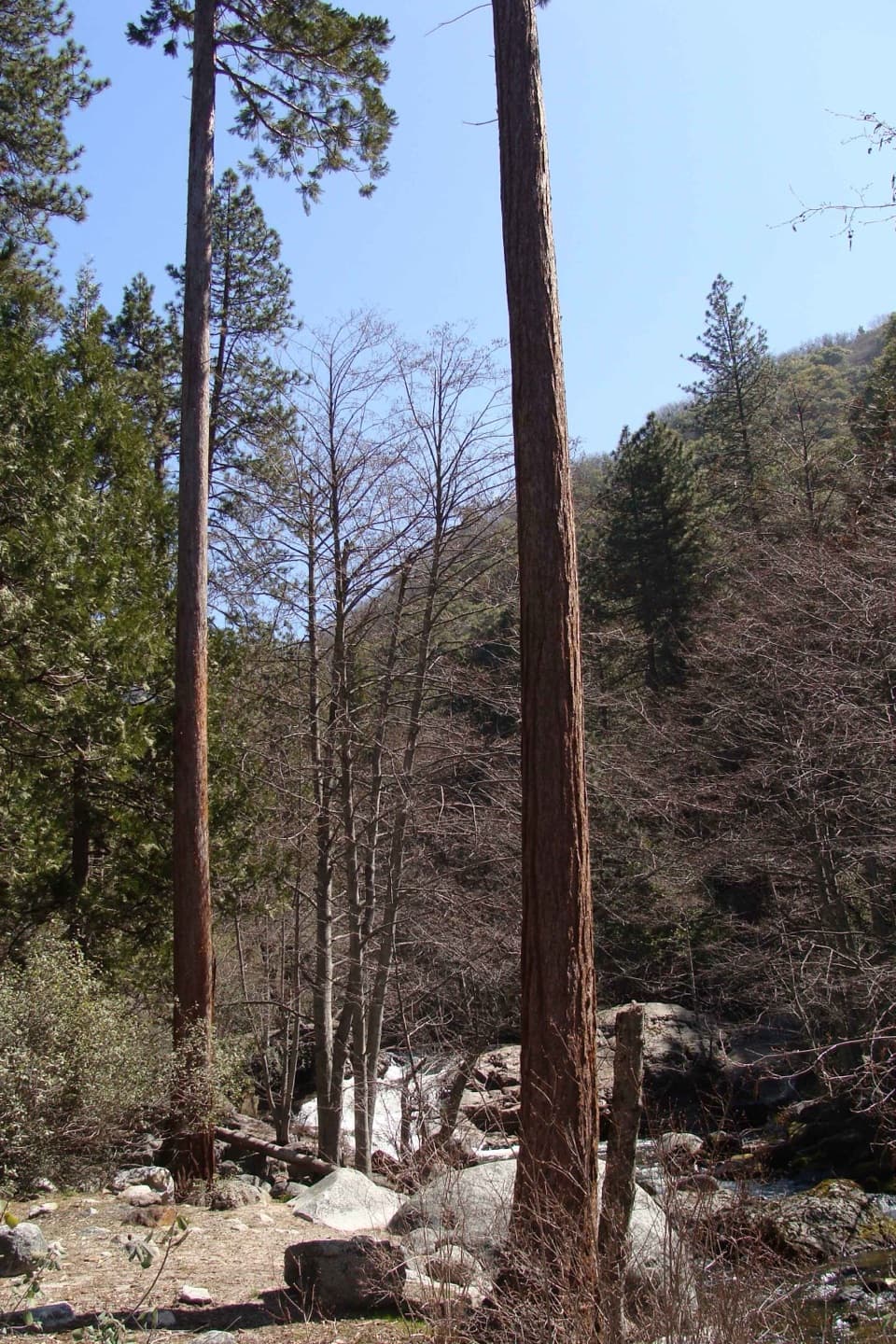
Sequoia National Park, CA
A creekside climb to young sequoias at a remote foothill camp.
Overview
Map & elevation
Plan your hike

The highest, rockiest slopes around here are a summer buffet for grizzly bears.
Sequoia Tour Guide
Parkwolf is a GPS audio tour guide for Sequoia National Park. As you drive, it chimes in with what’s ahead: hidden gems, upcoming stops, history, geology, and wildlife, right through your car’s speakers.
See the Sequoia audio tourRecorded for this trailhead
South Fork Campground and Ladybug Trail“Up ahead is South Fork Campground, a primitive riverside camp well away from the main park highways. There's no drinking water or food here, so bring your supplies.”
Plays as you drive up to this trailhead in the Parkwolf Sequoia Tour Guide.
More stories near here in the app
“…The kids and my husband and I all agree that the narration really added to our experience driving through the parks. We learned so much about the history and the flora & fauna.”


Trail guide
Ladybug Trail to Ladybug Camp is a 3.4-mile out-and-back, with the turnaround 1.7 miles each way. Allow about three hours for a moderate climb of roughly 640 feet. It suits hikers looking for a short, remote foothill walk to young sequoias beside the South Fork; the steep open climb makes it feel harder than the mileage suggests.
The route follows the north side of the South Fork Kaweah canyon. Clough Cave Bridge is near the start. Pigeon Creek is usually dry except after heavy rain or snowmelt; Squaw Creek flows year-round. Bone Hill, about half a mile in, opens a view toward Homer's Nose. At roughly 1.26 miles the path climbs steeply across an open slope, then enters black oak forest. At Bone Hill, include a little of the trail in a photo with Homer's Nose beyond it to show the climb and the view together.
At about 1.7 miles, Ladybug Camp is the first place where overnight camping is allowed. Young sequoias grow along the river, and ladybugs may gather on trees and rocks in cooler months. Please leave them undisturbed. Day hikers do not need a wilderness permit; overnight campers do.
The trail continues toward Cedar Flat Grove and Whiskeylog Camp, but descriptions disagree on where the named route ends and give longer one-way distances from about 4 to 5.1 miles. This route record turns around at Ladybug Camp, the first clearly measured destination; check current route information before continuing farther.
Start at the east end of South Fork Campground, at the end of South Fork Road; no alternate parking area was identified. Expect a steep climb and creek crossings. The park has reported flood and landslide damage near drainages, so check current road access and trail conditions before setting out. Ticks, poison oak and rattlesnakes are present, and pets are not allowed on park trails.
Wildlife
 691 sightingsBlack BearMost seen around 6 PMSighting map
 17 sightingsMountain LionMost seen around 6 AMSighting map
 18 sightingsBobcatMost seen around 7 PMSighting map
 24 sightingsCoyoteMost seen around 7 PMSighting map
 15 sightingsGolden EagleMost seen around 11 AMSighting map
 20 sightingsSpotted OwlMost seen around 7 PMSighting map
Sighting maps show where each species has been reported across Sequoia. Wildlife moves, so no sighting is guaranteed.
Keep exploring
 ChallengingGarfield Grove Trail10 mi · 7.5 hr · 0.1 mi awayA steep, remote climb to a grove of giant sequoias.
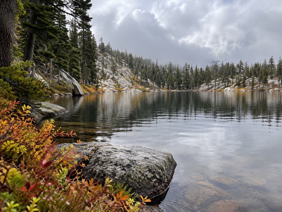 ModerateEvelyn Lake Trail5.8 mi · 4 hr · 6.2 mi awayA granite-shore lake detour from Hockett Meadow
 ModerateBlossom Lakes Trail3.6 mi · 3 hr · 7.1 mi awayA remote high-country climb to Lower Blossom Lake.
 ModerateCyclone Meadow Trail2 mi · 1.3 hr · 7.6 mi awayA high-country meadow walk beyond the long Summit Lake approach.
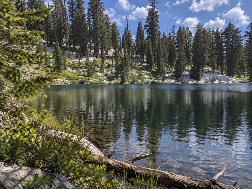 ChallengingLong Meadow Trail to Summit Lake15.2 mi · 14 hr · 8.7 mi awayA long, steep climb to a small alpine lake.
 ChallengingParadise Ridge Trail10 mi · 7 hr · 9.4 mi awayA steep, hot climb to a remote grove of giant sequoias.
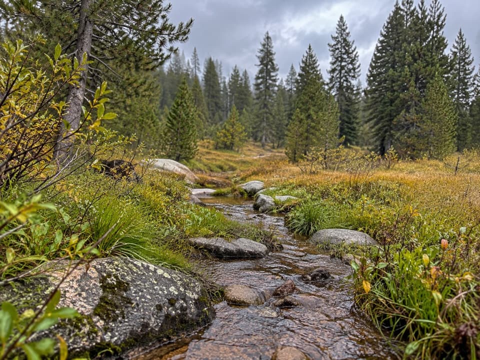 ChallengingAtwell-Hockett Trail21.3 mi · 12 hr · 9.6 mi awayA long backcountry climb ends in a broad Sierra meadow.
 ChallengingTar Gap Trail to Hockett Meadow18.6 mi · 10 hr · 10.8 mi awayA long Sierra climb through lakes and forest to Hockett Meadow.
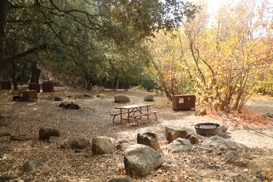 Campground · 0.2 mi awaySouth Fork CampgroundA quiet, remote base beside the Ladybug Trail.
 Sight · 5.5 mi awayLookout PointA quick canyon view and fee stop before the road climbs higher.
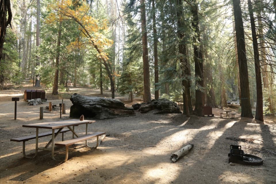 Campground · 9.4 mi awayAtwell Mill CampgroundA remote tent camp among logged sequoias and second-growth forest.
 Sight · 9.6 mi awayMosquito LakesA small alpine lake reached by a long Mineral King climb
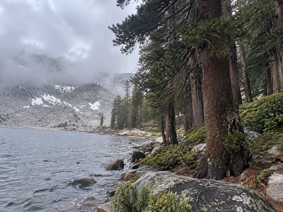 Sight · 9.9 mi awayEagle LakeBlue water at the end of a steep Mineral King hike.
Parkwolf’s Sequoia ranking

The audio tour guide for the drive, plus offline maps, trails, and wildlife heatmaps for when the signal drops.





