Parking
Start at Mountain Home Trailhead near Shake Camp. Follow Long Meadow Trail about 7.6 miles to Summit Lake, then continue onto the Cyclone Meadow segment; no closer road access was found.

Sequoia National Park, CA
A high-country meadow walk beyond the long Summit Lake approach.
Overview
Cyclone Meadow Trail is a roughly 2-mile, one-way path from the Summit Lake side through its namesake meadow, then north along a backcountry track. It’s point to point, not a loop; allow about 1¼ hours for this segment. The trail heads downhill from the high Summit Lake area. The far-end junction isn’t clearly documented, so if you need to return to Summit Lake, retrace the 2 miles and treat it as a 4-mile extension.
 Parkwolf’s verdictThe meadow is the payoff
Map & elevation
Plan your hike

The highest, rockiest slopes around here are a summer buffet for grizzly bears.
Sequoia Tour Guide
Parkwolf is a GPS audio tour guide for Sequoia National Park. As you drive, it chimes in with what’s ahead: hidden gems, upcoming stops, history, geology, and wildlife, right through your car’s speakers.
See the Sequoia audio tour“…The kids and my husband and I all agree that the narration really added to our experience driving through the parks. We learned so much about the history and the flora & fauna.”


Trail guide
The road access is Mountain Home Trailhead near Shake Camp. Long Meadow Trail climbs about 7.6 miles to Summit Lake before the Cyclone segment begins. That puts the meadow route roughly 9.6 miles from Mountain Home one way; retracing the route makes the full walk about 19 miles. This is a serious backcountry trip for most visitors. Reports describe several river crossings on the Long Meadow approach, and their difficulty changes with water levels. Check current conditions before setting out.
Overnight travel requires a wilderness permit. The Long Meadow entry is handled by Sequoia National Forest. No food, toilets, or treated water service was found along this route, so plan to carry what you need. Pets aren’t allowed on park trails or in the wilderness.
The open clearing has a distinctive high-country look: grass framed by conifers with ridges beyond. A 1963 archival photo shows pack stock grazing here, but that doesn’t mean you’ll see animals today. If the meadow is open, include some tree line and the distant ridge to show its scale.
Wildlife
 691 sightingsBlack BearMost seen around 6 PMSighting map
 17 sightingsMountain LionMost seen around 6 AMSighting map
 18 sightingsBobcatMost seen around 7 PMSighting map
 24 sightingsCoyoteMost seen around 7 PMSighting map
 15 sightingsGolden EagleMost seen around 11 AMSighting map
 20 sightingsSpotted OwlMost seen around 7 PMSighting map
Sighting maps show where each species has been reported across Sequoia. Wildlife moves, so no sighting is guaranteed.
Keep exploring
 ModerateBlossom Lakes Trail3.6 mi · 3 hr · 2.2 mi awayA remote high-country climb to Lower Blossom Lake.
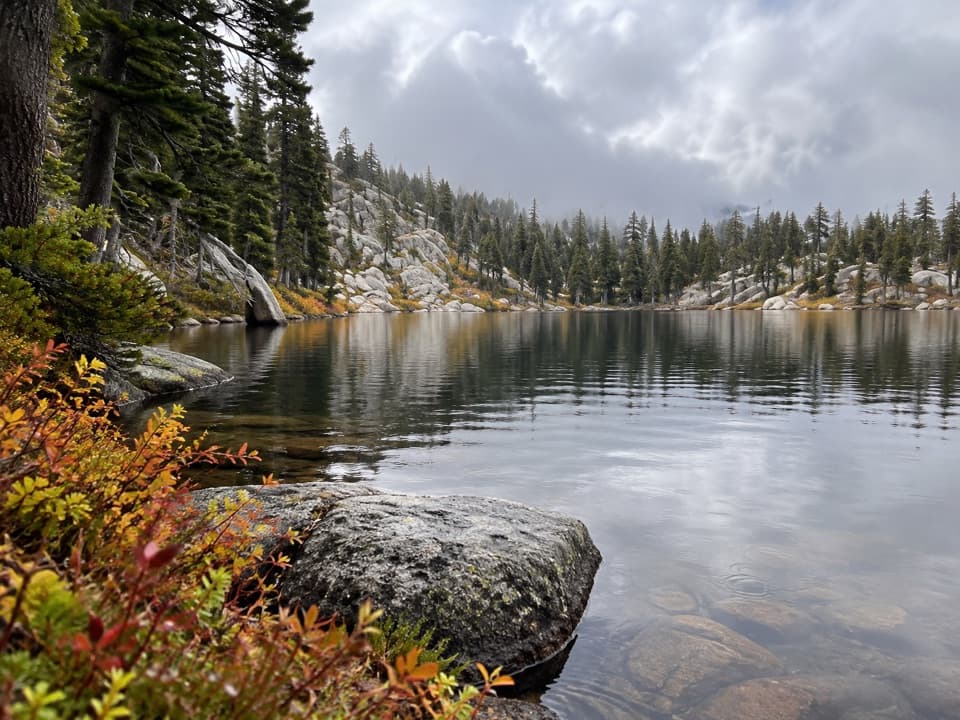 ModerateEvelyn Lake Trail5.8 mi · 4 hr · 4.7 mi awayA granite-shore lake detour from Hockett Meadow
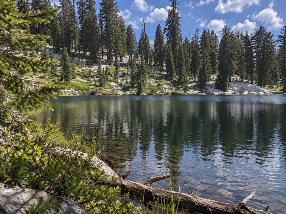 ChallengingLong Meadow Trail to Summit Lake15.2 mi · 14 hr · 4.7 mi awayA long, steep climb to a small alpine lake.
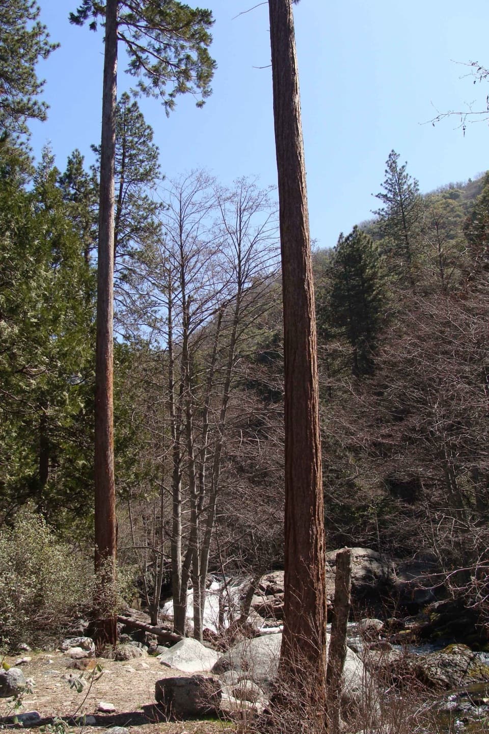 ModerateLadybug Trail to Ladybug Camp3.4 mi · 3 hr · 7.6 mi awayA creekside climb to young sequoias at a remote foothill camp.
 ChallengingGarfield Grove Trail10 mi · 7.5 hr · 7.7 mi awayA steep, remote climb to a grove of giant sequoias.
 ChallengingShotgun Pass Trail3.9 mi · 4.5 hr · 9 mi awayA rocky pass crossing with a steep, loose descent to Silver Lake.
 ChallengingFranklin Lakes Trail10.8 mi · 7.5 hr · 9.7 mi awayTwo alpine lakes reward a steady climb into high country.
 ChallengingFranklin Pass Trail16.2 mi · 11 hr · 9.7 mi awayLong switchbacks climb from Mineral King to an alpine pass.
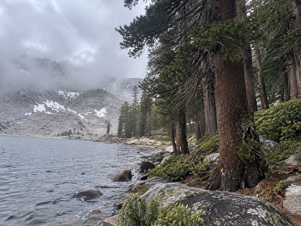 Sight · 7.6 mi awayEagle LakeBlue water at the end of a steep Mineral King hike.
 Sight · 7.6 mi awayMosquito LakesA small alpine lake reached by a long Mineral King climb
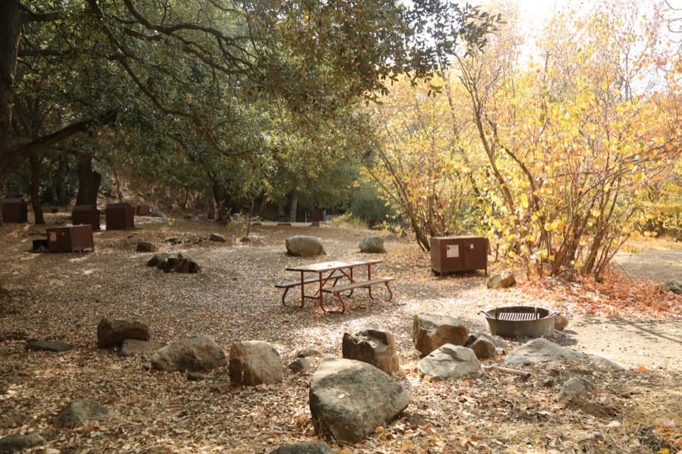 Campground · 7.7 mi awaySouth Fork CampgroundA quiet, remote base beside the Ladybug Trail.
 Sight · 8.5 mi awayFranklin LakesA long climb to twin lakes beneath the Great Western Divide.
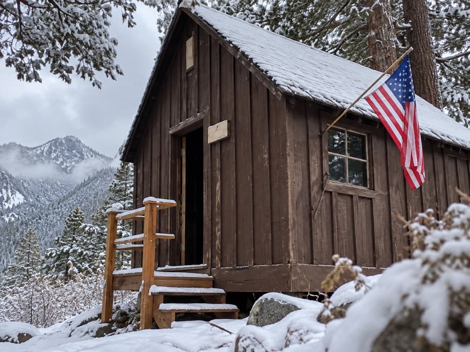 Sight · 9.8 mi awayHoneymoon CabinA cabin shifted eight to ten feet in a slow snow slide.
 Campground · 9.8 mi awayCold Springs CampgroundA quiet, tent-only base for Mineral King hikes.
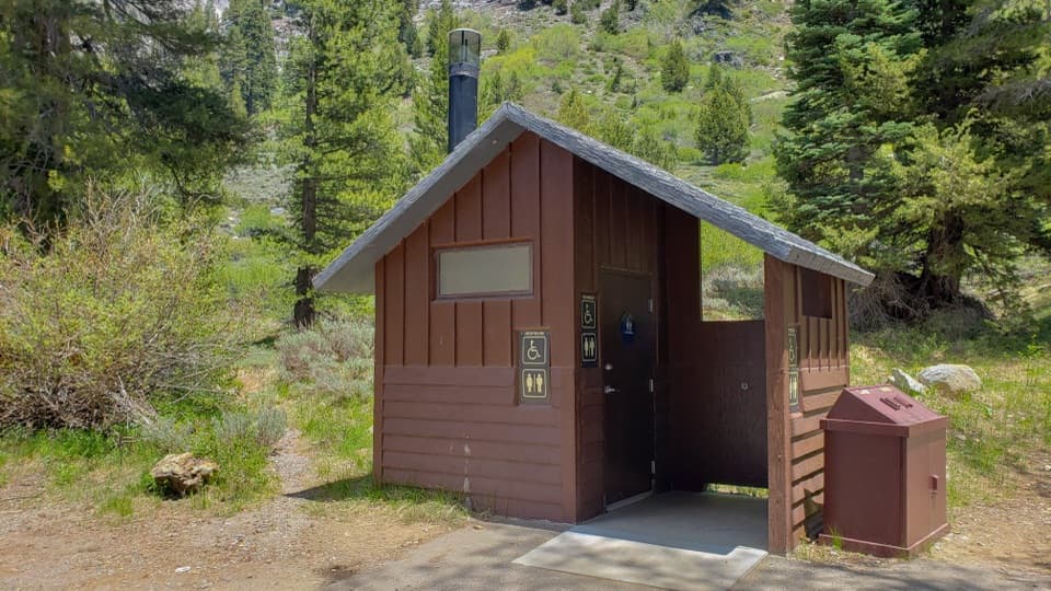 Restroom · 9.9 mi awayEagle-Mosquito Trailhead RestroomA practical restroom before the strenuous Eagle and Mosquito Lakes hikes.
 Ranger station · 9.9 mi awayMineral King Ranger StationA useful stop for maps, permits, trail advice, and marmot tarps.
Parkwolf’s Sequoia ranking
The audio tour guide for the drive, plus offline maps, trails, and wildlife heatmaps for when the signal drops.





