Parking
Atwell Mill Campground is the NPS-listed start of the Atwell-Hockett approach. Hockett Meadow is 10 trail miles beyond it; the Blossom Lakes segment begins in the backcountry, with no roadside parking at its mapped start.

Sequoia National Park, CA
A remote high-country climb to Lower Blossom Lake.
Overview
Map & elevation
Plan your hike

The highest, rockiest slopes around here are a summer buffet for grizzly bears.
Sequoia Tour Guide
Parkwolf is a GPS audio tour guide for Sequoia National Park. As you drive, it chimes in with what’s ahead: hidden gems, upcoming stops, history, geology, and wildlife, right through your car’s speakers.
See the Sequoia audio tour“…The kids and my husband and I all agree that the narration really added to our experience driving through the parks. We learned so much about the history and the flora & fauna.”


Trail guide
Blossom Lakes Trail is a 3.6-mile, one-way route from Hockett Meadow to Lower Blossom Lake, gaining about 1,340 feet as it climbs to roughly 9,900 feet. The mapped corridor measures 3.39 miles and follows the same uphill profile. Allow about three hours for this segment; that distance does not include the approach from a road.
There is no roadside trailhead at the route’s start. The nearest NPS-described approach is the Atwell-Hockett Trail from Atwell Mill Campground: 10 miles one way to Hockett Meadow. Reaching the lake from the campground adds the 3.6-mile Blossom Lakes segment; returning by the same routes makes roughly a 27-mile wilderness itinerary. The exact junction for Blossom Lakes is not named in the park’s route directions, so confirm access, return or continuation, and applicable wilderness permit and campsite rules before setting out.
A June trip account noted pink flowers along the lake shore; treat that as a seasonal observation, not a promise of blooms. This is a remote high-country route, not a lakeside walk from a car park. Dogs are prohibited on park trails.
Wildlife
 691 sightingsBlack BearMost seen around 6 PMSighting map
 17 sightingsMountain LionMost seen around 6 AMSighting map
 18 sightingsBobcatMost seen around 7 PMSighting map
 24 sightingsCoyoteMost seen around 7 PMSighting map
 15 sightingsGolden EagleMost seen around 11 AMSighting map
 20 sightingsSpotted OwlMost seen around 7 PMSighting map
Sighting maps show where each species has been reported across Sequoia. Wildlife moves, so no sighting is guaranteed.
Keep exploring
 ModerateCyclone Meadow Trail2 mi · 1.3 hr · 2.2 mi awayA high-country meadow walk beyond the long Summit Lake approach.
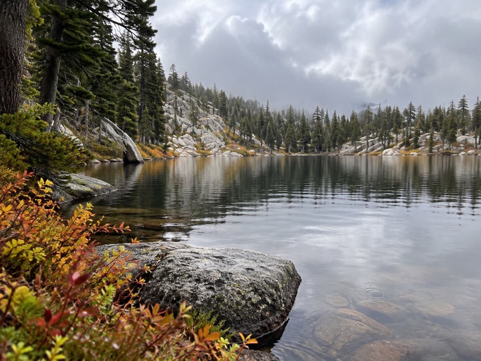 ModerateEvelyn Lake Trail5.8 mi · 4 hr · 2.7 mi awayA granite-shore lake detour from Hockett Meadow
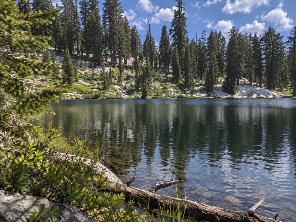 ChallengingLong Meadow Trail to Summit Lake15.2 mi · 14 hr · 6.7 mi awayA long, steep climb to a small alpine lake.
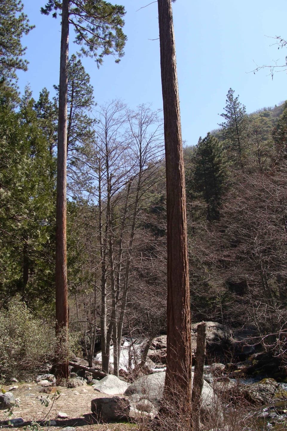 ModerateLadybug Trail to Ladybug Camp3.4 mi · 3 hr · 7.1 mi awayA creekside climb to young sequoias at a remote foothill camp.
 ChallengingGarfield Grove Trail10 mi · 7.5 hr · 7.2 mi awayA steep, remote climb to a grove of giant sequoias.
 ChallengingShotgun Pass Trail3.9 mi · 4.5 hr · 7.5 mi awayA rocky pass crossing with a steep, loose descent to Silver Lake.
 ChallengingFranklin Lakes Trail10.8 mi · 7.5 hr · 7.6 mi awayTwo alpine lakes reward a steady climb into high country.
 ChallengingFranklin Pass Trail16.2 mi · 11 hr · 7.6 mi awayLong switchbacks climb from Mineral King to an alpine pass.
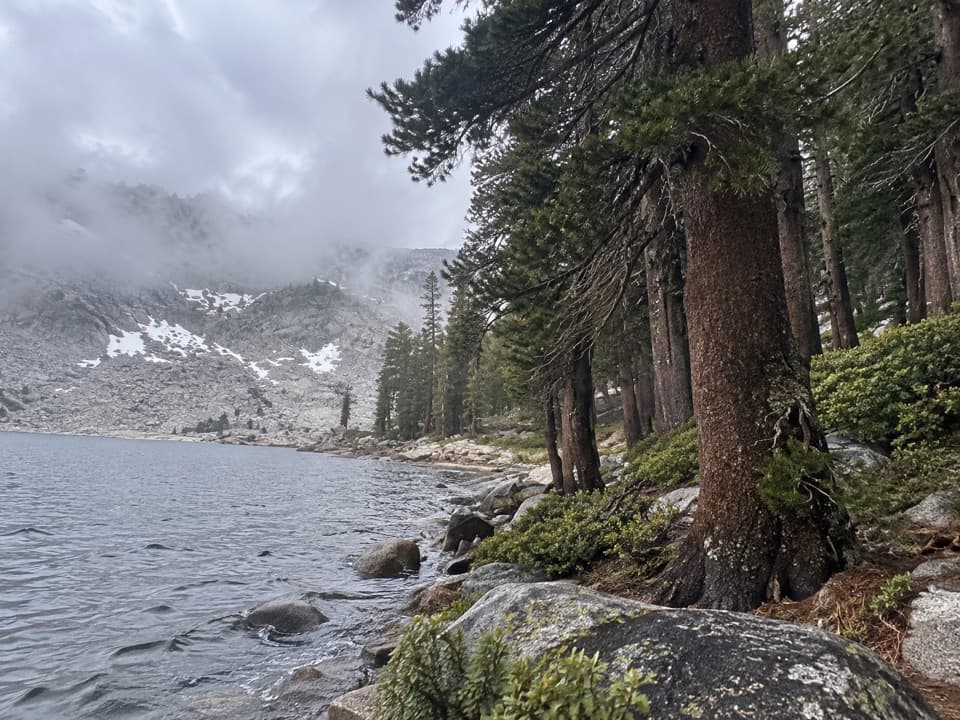 Sight · 5.5 mi awayEagle LakeBlue water at the end of a steep Mineral King hike.
 Sight · 5.5 mi awayMosquito LakesA small alpine lake reached by a long Mineral King climb
 Sight · 6.8 mi awayFranklin LakesA long climb to twin lakes beneath the Great Western Divide.
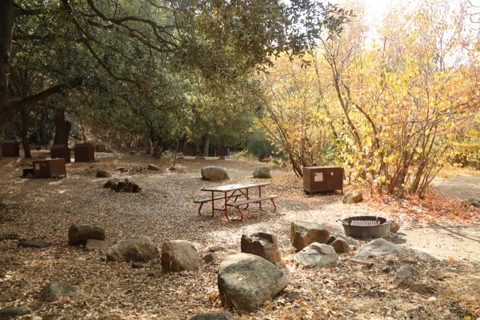 Campground · 7.3 mi awaySouth Fork CampgroundA quiet, remote base beside the Ladybug Trail.
 Campground · 7.6 mi awayCold Springs CampgroundA quiet, tent-only base for Mineral King hikes.
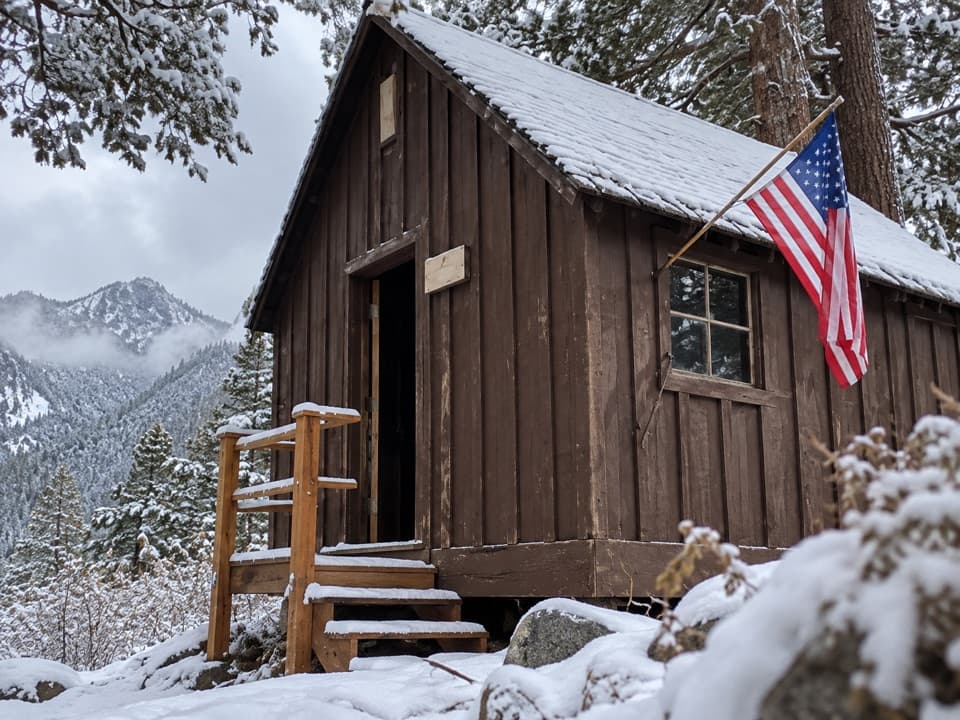 Sight · 7.7 mi awayHoneymoon CabinA cabin shifted eight to ten feet in a slow snow slide.
 Ranger station · 7.8 mi awayMineral King Ranger StationA useful stop for maps, permits, trail advice, and marmot tarps.
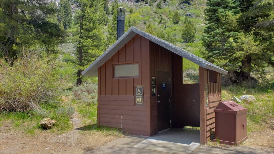 Restroom · 7.8 mi awayEagle-Mosquito Trailhead RestroomA practical restroom before the strenuous Eagle and Mosquito Lakes hikes.
Parkwolf’s Sequoia ranking

The audio tour guide for the drive, plus offline maps, trails, and wildlife heatmaps for when the signal drops.





