Place
Challenging

This is Mineral King’s classic climb from towering sequoias to a broad, wildlife-rich meadow. The route drops quickly to the East Fork Kaweah River, then commits to a long, steady ascent to Hockett Meadow. Plan on roughly 20–21 miles round-trip (out-and-back) with about 3,800 feet of total gain—doable in a long day for strong hikers, but far nicer as an overnight.
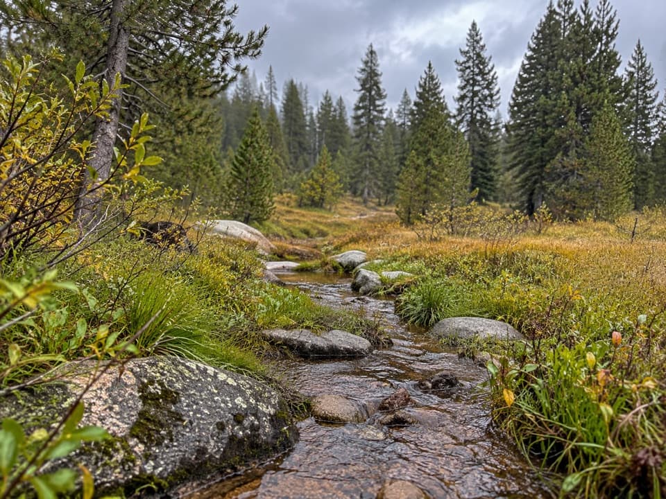
Right out of the gate you’re walking history: giant sequoias, massive logging-era stumps with old springboard notches, and the remains of a steam engine within the first hundred yards. About a mile in, you reach a bridge beside a thundering cascade in a narrow gorge—an excellent day-hike turnaround if you’re just sampling the trail. Beyond the river, the grade settles into a sustained climb through the East Fork Grove where widely spaced sequoias really pop, then into mixed conifer forest with red fir, Jeffrey pine, and summer wildflower meadows. Views across the canyon take in the famously twisty Mineral King road. The trail eventually eases into Hockett Meadow, a broad, subalpine basin with a historic ranger station, shade, wildlife, and spring-fed water nearby. Side trails radiate to Evelyn Lake, Cahoon Rock, Sand Meadow, and the Hockett Lakes if you’ve set up a base camp.
Expect a profile that feels inverted: an initial ~500-foot drop to the river, then hours of steady climbing to the meadow. The grades aren’t brutal, just persistent, which adds up with a pack. On the return, that sustained uphill becomes a far kinder descent—many hikers report the hike out feels surprisingly relaxed.
No permit is required for day use. Overnight trips require a wilderness permit picked up at the Mineral King Ranger Station. Legal backcountry sites begin around Clover Creek (roughly 6 miles in), with additional camping along Horse Creek (bring a canister there—no lockers) and designated shaded spots with bear boxes at Hockett Meadow. Water is abundant from multiple creeks and a nearby spring at the meadow, but always treat it—this is an active stock trail.
Mineral King road typically opens late May through October, depending on snow. Outside that window, access is by foot/ski/snowshoe only, and services are limited. For scenery, late June through July brings excellent wildflowers around the meadow. Summer afternoons can be buggy; aim for early starts and plan camp time to dodge peak mosquito hours.
Expect some overgrown stretches in places affected by recent fires. Heat can build in exposed, burned patches during warm spells. Gnats and mosquitoes can be relentless from late morning to dusk in summer—head nets and repellent make this trip much nicer.
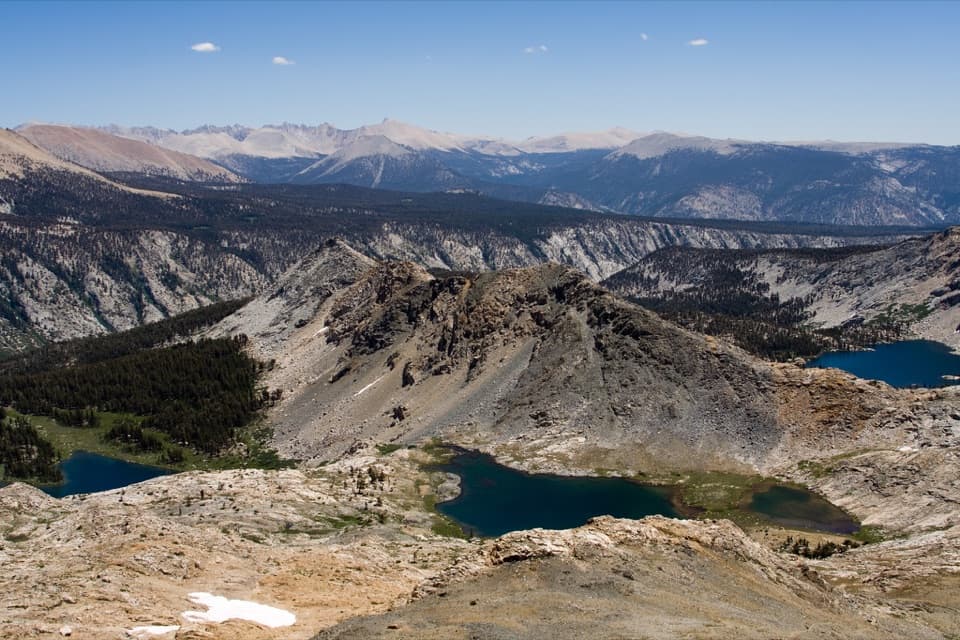
You’re following a corridor linked to John B. Hockett’s Civil War–era route across the southern Sierra, later embraced by hikers as the area shifted from resource extraction to recreation. Watch the canyon’s shape evolve as you climb—V-shaped water-carved terrain low down giving way to glacially gouged, U-shaped profiles higher up.
If you want a mellower grade, the Tar Gap approach is the alternative, but most hikers find Atwell-Hockett more scenic (waterfalls, sequoias, varied forest, and meadow). If you’re day-hiking, consider turning around at the river bridge for a short, satisfying outing.
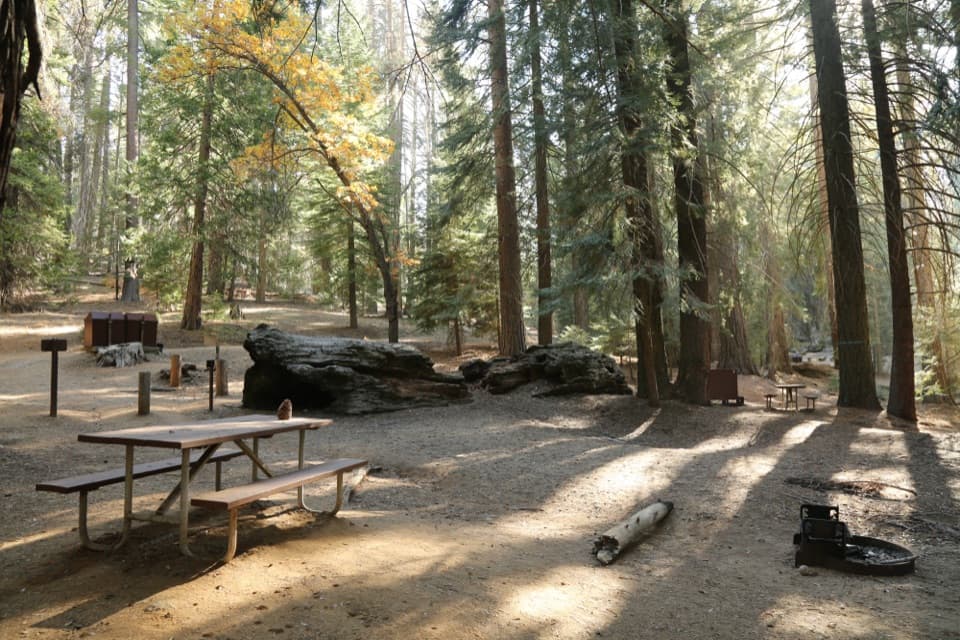
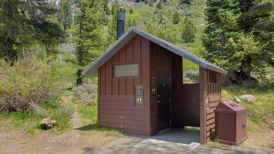
Park at the Atwell-Hockett Trailhead by Atwell Mill Campground (Mineral King). Trailhead area includes parking, a vault toilet, trash, and potable water. Follow local marmot-protection guidance when leaving your vehicle.
Long, steady ascent after an initial 500-ft drop; some overgrown, fire-affected sections; heavy summer gnats/mosquitoes; active stock use—yield appropriately and filter all water; marmots can damage parked vehicles; road access is generally late May–October only.