Paradise Ridge Trail in Sequoia National Park

Sequoia National Park, CA

Paradise Ridge Trail

A steep, hot climb to a remote grove of giant sequoias.

Photo: Wikimedia Commons
Length
10mi
Time
7hr
Elev. change
2,690ft
Difficulty
Challenging
  • No dogs
  • High point 8,409 ft

Hear the audio tour

Atwell Mill

Overview

About Paradise Ridge Trail

Why go

  • Atwell Grove’s giant sequoias and open valley views
  • A remote old-growth grove at the far end

Heads up

  • The saddle has no view despite its name
  • The full route is about 9–10 miles one way; returning to Atwell doubles it

Map & elevation

The route

Loading the Sequoia map
Full map
Elevation5,719–8,409 ft
TrailheadAtwell Mill Trailhead36.46512, -118.67182
Keep this map with you offline in the Parkwolf app

Plan your hike

Before you go

Parking

Signed hiker parking at the upper end of Atwell Mill Campground. Walk west on the campground road and then Mineral King Road about a quarter mile to the signed trailhead; there is no parking at the trailhead. Mineral King Road is narrow, winding and partly unpaved, and closes to general vehicle traffic at the park boundary in winter.

Safety

The climb is steep, hot and dry. The first permitted campsite, Paradise Ridge (about three miles in), has no water. Overnight trips require a wilderness permit; pets are prohibited on park trails.

8 active Sequoia alerts

  • ClosureMineral King Road construction closures and delaysMentions Mineral King Road, referenced in this guideConstruction work is causing scheduled closures and delays on Mineral King Road through October 28, 2026; visitors must pass through the work zone to reach Mineral King.Official details
  • CautionStage 1 fire restrictionsStage 1 fire restrictions are in effect due to high fire danger and catastrophic-wildfire risk; the restrictions reduce the possibility of accidental human-caused fires that could threaten visitors…Official details
See all 8 alerts
A park ranger sits on a dash-mounted phone, talking, as Parkwolf’s Tour Guide plays “Army Cutworm Moths: A Grizzly Bear Buffet” on Grand Loop Road below Dunraven Pass in Yellowstone
Parkwolf Tour GuideThe highest, rockiest slopes around here are a summer buffet for grizzly bears.

Sequoia Tour Guide

Your drive to Paradise Ridge Trail, narrated.

Parkwolf is a GPS audio tour guide for Sequoia National Park. As you drive, it chimes in with what’s ahead: hidden gems, upcoming stops, history, geology, and wildlife, right through your car’s speakers.

See the Sequoia audio tour

Recorded for this trailhead

Atwell Mill
0:00 / 0:36
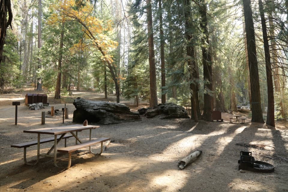
“You're approaching Atwell Mill, a tent campground in a former giant sequoia logging grove. Stop if the area's logging history interests you: old stumps stand among second-growth sequoias, cedars and pines.”

Plays as you drive up to this trailhead in the Parkwolf Sequoia Tour Guide.

More stories near here in the app

  • The Ringtail After Dark
  • Silver City Mountain Resort
  • Susan Thew’s Case for a Bigger Park
  • A Bat's Feeding Buzz
  • 71 audio storiesacross Sequoia’s roads, triggered by GPS as you drive
  • Wildlife heatmapsfor Black Bear, Mountain Lion, Bobcat, and 13 more
  • Works offlinemaps, 99 trails, 68 places, and audio download before you lose signal
  • CarPlay readysimple controls built for the drive
★★★★★
“…The kids and my husband and I all agree that the narration really added to our experience driving through the parks. We learned so much about the history and the flora & fauna.”
JessestblondeApp Store review
Download Parkwolf on the App StoreGet Parkwolf on Google Play

4.7 from 8,600+ ratings

Trail guide

Hiking Paradise Ridge Trail

The full through hikeParadise Ridge Trail is a point-to-point wilderness route from Atwell Mill to Redwood Meadow…

Paradise Ridge Trail is a point-to-point wilderness route from Atwell Mill to Redwood Meadow Grove. The listed distance is 10 miles one way. It climbs through Atwell Grove’s giant sequoias, crosses open brushy slopes with views down the East Fork Kaweah Valley, reaches a forested saddle, then descends to the remote grove. There’s no loop; hiking back to Atwell Mill doubles the distance.

Choose your turnaroundThe Paradise Ridge saddle is just under three miles up; turning around there makes a roughly…

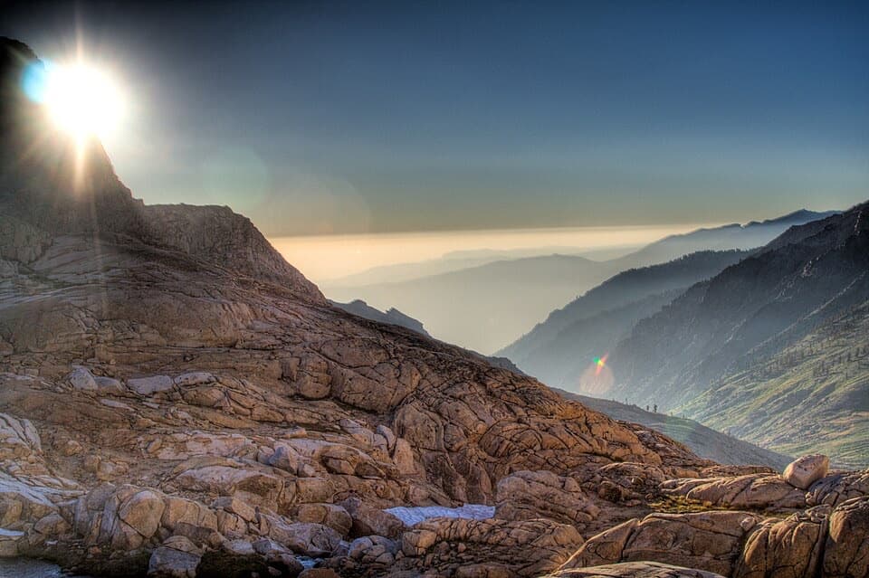
The Paradise Ridge saddle is just under three miles up; turning around there makes a roughly six-mile out-and-back and includes the route’s main climb. The saddle itself is forested with no panorama, but there are open valley views before it. Beyond the saddle, a trail marker gives another six miles to Redwood Meadow. That marker and the mapped line point closer to nine miles from Atwell Mill, while the listed full route is 10 miles. Use the larger figure for planning.

Atwell Grove and the climbThe climb is steep, hot and dry.

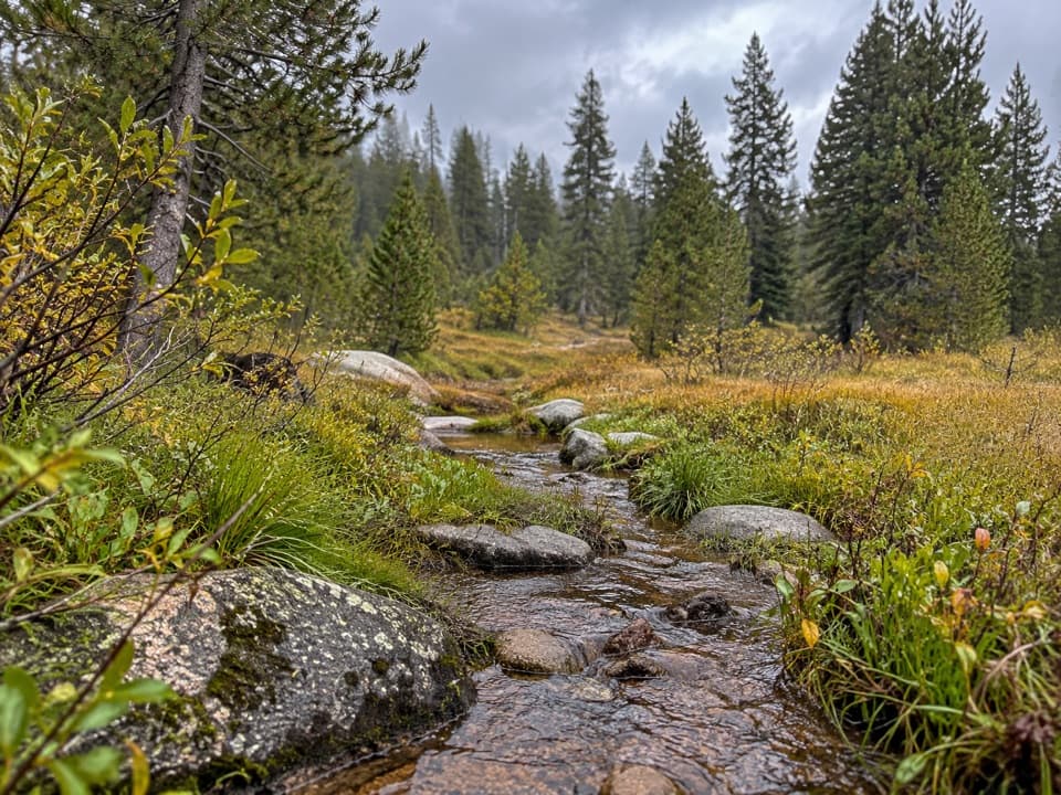
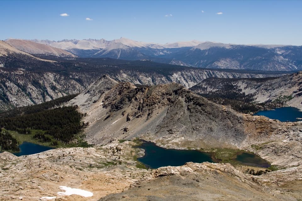
The climb is steep, hot and dry. Atwell Grove appears in patches: a lower stand with fire-scarred trees, a greener stretch near a stream, and an upper grove marked by a massive sequoia with a broad scar on its trail-facing side. Between the groves, the brush opens to views across the valley toward Hengst Peak. On that open slope, include the opposite ridge’s sequoia crowns beneath the valley in a photo; they help show how far the grove spreads. The saddle is quiet forest, not a summit viewpoint.

At the far endThe trail continues about six miles beyond the saddle to Redwood Meadow Grove.

The trail continues about six miles beyond the saddle to Redwood Meadow Grove. The meadow is only glimpsed briefly; the better stop is the grove intersection, where a campsite sits beneath two large sequoias. About half a dozen big sequoias are visible from the trail, so expect a remote forested destination rather than a wide-open meadow panorama.

Access and overnight rulesUse the signed hiker parking lot at the upper end of Atwell Mill Campground.

Use the signed hiker parking lot at the upper end of Atwell Mill Campground. Walk west along the campground road, then along Mineral King Road about a quarter mile to the signed trailhead; there’s no parking at the trailhead. Mineral King Road is narrow and winding, with an unpaved upper section, and closes to general vehicle traffic at the park boundary in winter. The first permitted overnight campsite, Paradise Ridge, is about three miles in and has no water. Overnight trips require a wilderness permit, and pets aren’t allowed on park trails. Allow about seven hours one way for the full route; returning to Atwell Mill makes it a roughly 20-mile outing.

Wildlife

Wildlife in Sequoia

All Sequoia wildlife maps

Sighting maps show where each species has been reported across Sequoia. Wildlife moves, so no sighting is guaranteed.

Keep exploring

Near Paradise Ridge Trail

See it all on the map

Trails that start nearby

Places near the trailhead

Parkwolf’s Sequoia ranking

Top-rated trails in Sequoia

All 99 trails
  1. 1Congress TrailEasy · 2.7 mi
  2. 2General Sherman Tree TrailModerate · 1 mi
  3. 3Moro Rock TrailModerate · 0.5 mi
  4. 4High Sierra TrailChallenging · 48.9 mi
  5. 5Mount Whitney TrailChallenging · 22 mi
  6. 6Lakes Trail to Pear LakeChallenging · 12.8 mi

Take Parkwolf to Sequoia.

The audio tour guide for the drive, plus offline maps, trails, and wildlife heatmaps for when the signal drops.

4.7 from 8,600+ ratings

Download Parkwolf on the App StoreGet Parkwolf on Google Play