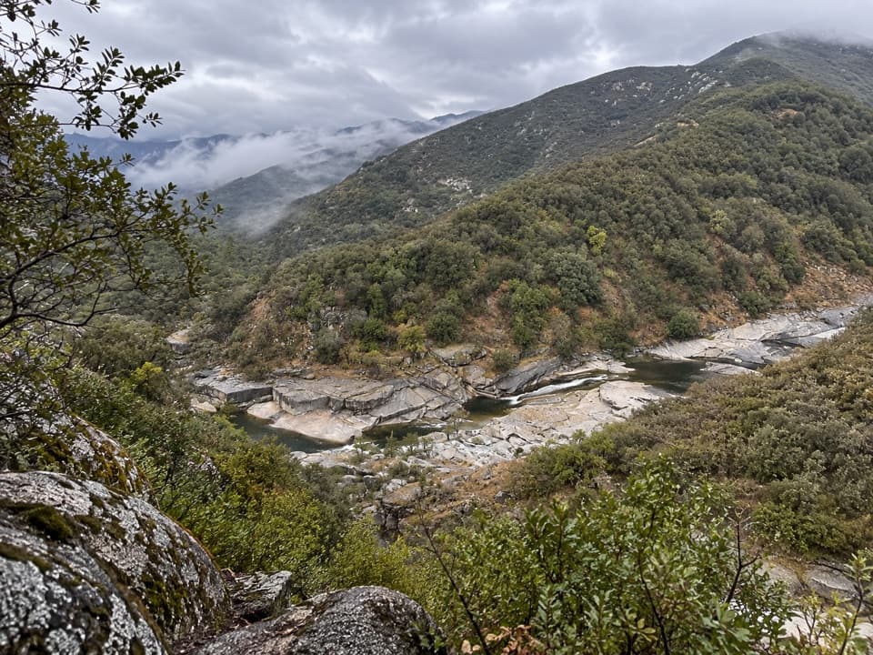
North Fork Trail in Sequoia National Park

Sequoia National Park, CA

North Fork Trail

A rugged one-way climb along the Kaweah to Hidden Spring.

Length
13.5mi
Time
10hr
Elev. change
3,855ft
Difficulty
Challenging
  • No dogs
  • High point 5,633 ft
Parkwolf audio tour71 stories across Sequoia’s roads

Overview

About North Fork Trail

Why go

  • Follows the North Fork Kaweah and an old CCC river corridor to Hidden Spring.
  • River bends and granite pools offer a distinctive payoff along a remote route.

Heads up

  • A 13.53-mile one-way walk climbs about 4,200 feet and needs exit planning.
  • Lightly maintained tread, a creek ford and steep optional pool access add difficulty.

Map & elevation

The route

Loading the Sequoia map
Full map
Elevation1,778–5,633 ft
TrailheadNorth Fork Trailhead36.54493, -118.89508
Keep this map with you offline in the Parkwolf app

Plan your hike

Before you go

Parking

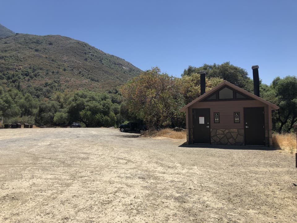
North Fork Trailhead at the end of North Fork Drive, off Highway 198. Auto parking is listed at the trailhead, with space for several cars. The final four road miles are rough dirt; a truck or all-wheel-drive vehicle is recommended. The short Yucca Creek Trail connector leads from the access to the main route; no toilet or potable-water amenity is listed.

Safety

Hard, remote one-way route with roughly 4,200 feet of ascent. The tread is lightly maintained and maps are useful. The approach includes a Yucca Creek ford; do not assume it is passable at high flow. Plan a return or onward route before setting out: Hidden Spring lies in the backcountry, and no vehicle pickup point was verified there. Natural pools are a steep off-trail detour. Pets are prohibited on park trails.

8 active Sequoia alerts

  • CautionNorth Fork Road rough and ruttedMentions this trailNorth Fork Road is open, but its final miles are rough, narrow, and winding; high-clearance vehicles are strongly recommended and low-clearance vehicles are not recommended.Official details
  • CautionStage 1 fire restrictionsStage 1 fire restrictions are in effect due to high fire danger and catastrophic-wildfire risk; the restrictions reduce the possibility of accidental human-caused fires that could threaten visitors…Official details
See all 8 alerts
A park ranger sits on a dash-mounted phone, talking, as Parkwolf’s Tour Guide plays “Army Cutworm Moths: A Grizzly Bear Buffet” on Grand Loop Road below Dunraven Pass in Yellowstone
Parkwolf Tour GuideThe highest, rockiest slopes around here are a summer buffet for grizzly bears.

Sequoia Tour Guide

Your drive to North Fork Trail, narrated.

Parkwolf is a GPS audio tour guide for Sequoia National Park. As you drive, it chimes in with what’s ahead: hidden gems, upcoming stops, history, geology, and wildlife, right through your car’s speakers.

See the Sequoia audio tour

More stories near here in the app

  • Crystal Cave
  • The Road Begun for Logging
  • Ash Mountain Historic Entrance Sign
  • Foothills Visitor Center
  • 71 audio storiesacross Sequoia’s roads, triggered by GPS as you drive
  • Wildlife heatmapsfor Black Bear, Mountain Lion, Bobcat, and 13 more
  • Works offlinemaps, 99 trails, 68 places, and audio download before you lose signal
  • CarPlay readysimple controls built for the drive
★★★★★
“…The kids and my husband and I all agree that the narration really added to our experience driving through the parks. We learned so much about the history and the flora & fauna.”
JessestblondeApp Store review
Download Parkwolf on the App StoreGet Parkwolf on Google Play

4.7 from 8,600+ ratings

Trail guide

Hiking North Fork Trail

The full traverseNorth Fork Trail is a 13.53-mile, one-way route from Yucca Flat to Hidden Spring.

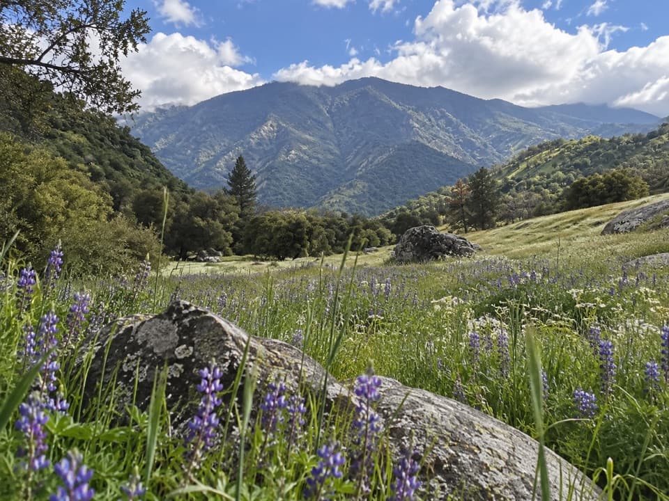
North Fork Trail is a 13.53-mile, one-way route from Yucca Flat to Hidden Spring. It follows an old Civilian Conservation Corps road upriver along the North Fork Kaweah; the long river-and-canyon walk is the payoff. Expect roughly 4,200 feet of climbing on lightly maintained terrain. Around 10 hours is a planning estimate for the hike itself; plan your return or onward route before starting; the trail ends in backcountry at Hidden Spring.

From the trailheadAt the North Fork Trailhead, a short connector on Yucca Creek Trail joins the main corridor.

At the North Fork Trailhead, a short connector on Yucca Creek Trail joins the main corridor. The early access includes a Yucca Creek ford, so water level matters. Lightly maintained tread makes a topographic map useful; bring one offline and allow time for route-finding.

The river corridorThe old road follows the North Fork upstream on river left.

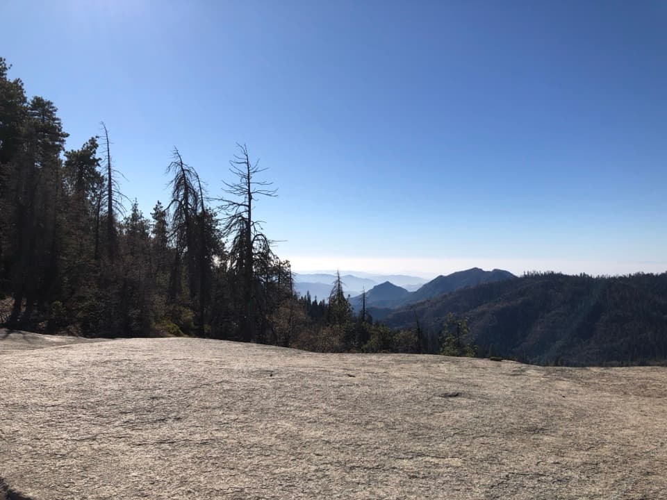
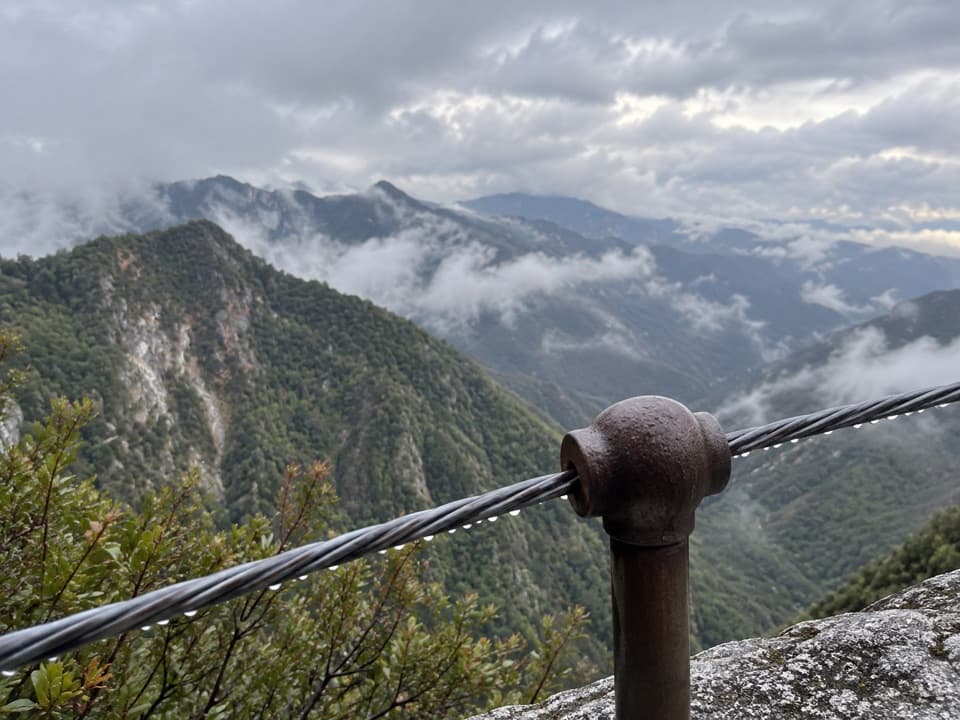
The old road follows the North Fork upstream on river left. After roughly four miles, the route continues about nine more through similar terrain toward Hidden Spring. Several natural pools lie off the tread near the far end; reaching them involves steep ground, and high water can make them inaccessible. Reaching them means leaving the mapped route for a steep descent. The pale granite shelves and river bends make the strongest view; frame the water with the canyon slope from the trail-side rocks.

Access and rulesReach the trailhead via North Fork Drive off Highway 198.

Reach the trailhead via North Fork Drive off Highway 198. The final four road miles are very rough dirt, and a truck or all-wheel-drive vehicle is recommended. The trailhead has auto parking and an information board; no toilet or potable-water amenity is listed. Pets are prohibited on park trails.

Wildlife

Wildlife in Sequoia

All Sequoia wildlife maps

Sighting maps show where each species has been reported across Sequoia. Wildlife moves, so no sighting is guaranteed.

Keep exploring

Near North Fork Trail

See it all on the map

Trails that start nearby

Places near the trailhead

Parkwolf’s Sequoia ranking

Top-rated trails in Sequoia

All 99 trails
  1. 1Congress TrailEasy · 2.7 mi
  2. 2General Sherman Tree TrailModerate · 1 mi
  3. 3Moro Rock TrailModerate · 0.5 mi
  4. 4High Sierra TrailChallenging · 48.9 mi
  5. 5Mount Whitney TrailChallenging · 22 mi
  6. 6Lakes Trail to Pear LakeChallenging · 12.8 mi

Take Parkwolf to Sequoia.

The audio tour guide for the drive, plus offline maps, trails, and wildlife heatmaps for when the signal drops.

4.7 from 8,600+ ratings

Download Parkwolf on the App StoreGet Parkwolf on Google Play