Dark Hollow Falls in Shenandoah National Park

#5 of 114 sights in Shenandoah

Sight · Shenandoah National Park

Dark Hollow Falls

A brief, steep stream walk to a 70-foot cascade.

Photo: National Park Service
Type
Sight
Nearest trail
0.4 mi
Audio stories
8 nearby
  • Parking
  • Trailhead

Hear the audio tour

Dark Hollow Falls: Down to the Water, Uphill Back

Overview

About Dark Hollow Falls

Why stop

  • Spring runoff brings a roughly 70-foot cascade.

Heads up

  • The short, rocky route ends with a steep uphill return.
Dark Hollow Falls is a waterfall on the east side of Big Meadows, reached by hiking down a stream from Skyline Drive. At peak spring runoff, the water drops about 70 feet over the rock. It’s one of Shenandoah’s best-known waterfall walks, but this isn’t a roadside view: you go downhill to reach the falls, then climb the same way back. If you want a close look at a cascade and can manage a steep return, keep it on your list. If you’re after an easy stroll, choose another stop.
Parkwolf’s verdictIs the climb worth it?

Map

Where it is

Loading the Shenandoah map
Full map
SightDark Hollow Falls38.51875, -78.42340
Keep this map with you offline in the Parkwolf app

Plan your stop

Before you go

2 active Shenandoah alerts

  • ClosureOld Rag Trailhead main lot closedThe Old Rag Trailhead main parking lot is closed to vehicles and pedestrians for infrastructure improvements; use the existing overflow lots. - Work is expected to be completed by November 2026.Official details
  • ClosureBackcountry camping and zone closuresBackcountry camping is prohibited on the Appalachian Trail from Lewis Mountain to Big Meadows, and the Naked Creek backcountry zone is closed.Official details
Shenandoah alerts
A park ranger sits on a dash-mounted phone, talking, as Parkwolf’s Tour Guide plays “Army Cutworm Moths: A Grizzly Bear Buffet” on Grand Loop Road below Dunraven Pass in Yellowstone
Parkwolf Tour GuideThe highest, rockiest slopes around here are a summer buffet for grizzly bears.

Shenandoah Tour Guide

Your drive to Dark Hollow Falls, narrated.

Parkwolf is a GPS audio tour guide for Shenandoah National Park. As you drive, it chimes in with what’s ahead: hidden gems, upcoming stops, history, geology, and wildlife, right through your car’s speakers.

See the Shenandoah audio tour

Recorded for this place

Dark Hollow Falls: Down to the Water, Uphill Back
0:00 / 0:25
“You're coming up on the trailhead for Dark Hollow Falls, a short hike with a steep uphill finish.”

Plays as you drive up to Dark Hollow Falls in the Parkwolf Shenandoah Tour Guide.

More stories near here in the app

  • Big Meadows: Deer and a Break from the Forest
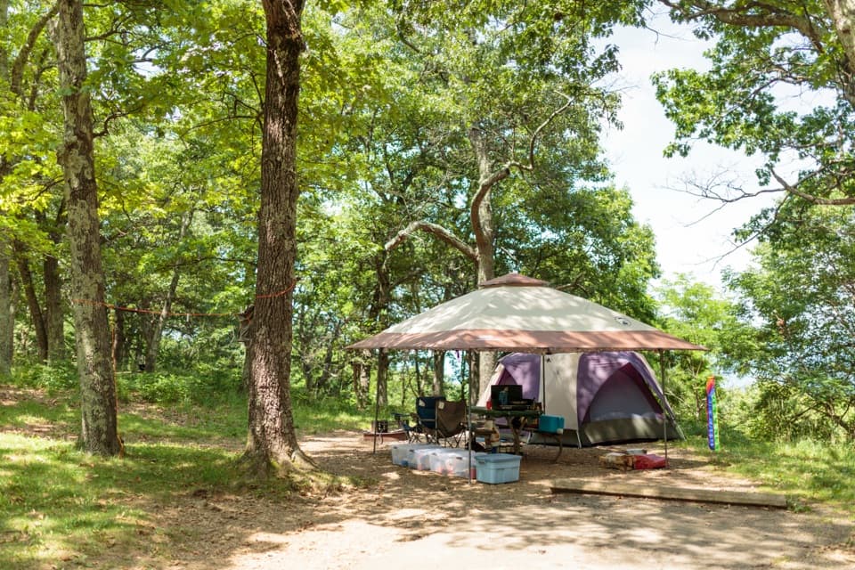
  • Big Meadows Campground: A Central Base for Walks
  • Fishers Gap: The Rose River Falls Loop
  • Tanners Ridge Overlook: A Field Above Stanley
  • 146 audio storiesacross Shenandoah’s roads, triggered by GPS as you drive
  • Wildlife heatmapsfor Black Bear, Bald Eagle, White-tailed Deer, and 13 more
  • Works offlinemaps, 163 trails, 142 places, and audio download before you lose signal
  • CarPlay readysimple controls built for the drive
★★★★★
“Fantastic app with many points of information… It’s great to just turn on while you’re driving and it gives you an audio tour of the national Park. We love it!!!!”
JMJamesApp Store review
Download Parkwolf on the App StoreGet Parkwolf on Google Play

4.7 from 8,600+ ratings

Guide

More about Dark Hollow Falls

Follow the stream downStart at the Dark Hollow Falls Parking Area at mile 50.7 on Skyline Drive.

Start at the Dark Hollow Falls Parking Area at mile 50.7 on Skyline Drive. The route drops about 0.75 mile to the falls and returns on the same path, for roughly 1.5 miles round trip and about 440 feet of climbing. The broad path follows the stream, but it is steep and rocky; when it’s wet, the footing can be slippery. The downhill leg is the easy part. Give yourself time for the climb back, which can feel strenuous even though the walk is short. Plan on at least about an hour and 15 minutes, more if you stop for breaks.

When the water is runningSpring runoff is when the cascade carries its strongest flow.

Spring runoff is when the cascade carries its strongest flow. The amount of water varies, so the falls can look smaller at other times. For a photo, include the stream’s rocky ledges and a bit of the pool below instead of cropping to white water alone; the stepped drop gives the cascade its scale.

Lava that cooled underwaterThe stream drains much of Big Meadows and cuts across the Catoctin Formation.

The stream drains much of Big Meadows and cuts across the Catoctin Formation. Near the falls, pillow-shaped basalt formed when ancient lava flowed into water and cooled. The greenstone here is metamorphosed basalt, so the rounded rock forms along this cascade preserve a very different chapter of the Blue Ridge’s history.

Listen in the woodsThe descent is also a good place to watch for forest birds.

The descent is also a good place to watch for forest birds. Ovenbirds and scarlet tanagers are among the species found along the trail, and common ravens may soar overhead or call from the trees. Butterflies, including eastern tiger swallowtails and great spangled fritillaries, visit wildflowers along the route.

Make the stop workThe trail is typically busy from spring through fall and on pleasant winter weekends.

The trail is typically busy from spring through fall and on pleasant winter weekends. Pets aren’t allowed on this hike, though service animals are welcome. The trail does not meet ADA accessibility guidelines. A park entrance fee is required to reach the Skyline Drive trailhead; there’s no separate reservation for the hike.

Wildlife

Wildlife in Shenandoah

All Shenandoah wildlife maps

Sighting maps show where each species has been reported across Shenandoah. Wildlife moves, so no sighting is guaranteed.

Keep exploring

Near Dark Hollow Falls

See it all on the map

Trails nearby

More stops nearby

Parkwolf’s Shenandoah ranking

Top sights in Shenandoah

All 142 places
  1. 1Old Rag MountainSight
  2. 2Big MeadowsSight
  3. 3Hawksbill SummitSight
  4. 4Stony Man SummitSight
  5. 6Marys RockSight
  6. 7Blackrock SummitSight

Take Parkwolf to Shenandoah.

The audio tour guide for the drive, plus offline maps, trails, and wildlife heatmaps for when the signal drops.

4.7 from 8,600+ ratings

Download Parkwolf on the App StoreGet Parkwolf on Google Play