Parking
Use Dark Hollow Falls Parking Area on Skyline Drive at mile 50.7; the marked trail starts at the kiosk on the east side of the lot. The small lot can fill quickly, so arriving early helps.

#16 of 163 trails in Shenandoah
Shenandoah National Park, VA
A shady creek descent, a waterfall, and a steep climb back.
Overview
Dark Hollow Falls is a 1.4-mile out-and-back from Skyline Drive to a waterfall on Hogcamp Branch and back. Allow about 90 minutes, longer if you want time at the water or need breaks. The payoff comes quickly, but the distance can fool you: the path drops roughly 440 feet, then you climb that same steep, rocky ground on the way out. I’d choose it for a short waterfall hike if you’re comfortable with a real uphill finish.
 Parkwolf’s verdictIs this the hike for you?
Map & elevation
Plan your hike

The highest, rockiest slopes around here are a summer buffet for grizzly bears.
Shenandoah Tour Guide
Parkwolf is a GPS audio tour guide for Shenandoah National Park. As you drive, it chimes in with what’s ahead: hidden gems, upcoming stops, history, geology, and wildlife, right through your car’s speakers.
See the Shenandoah audio tourRecorded for this trailhead
Dark Hollow Falls: Down to the Water, Uphill Back“You're coming up on the trailhead for Dark Hollow Falls, a short hike with a steep uphill finish.”
Plays as you drive up to this trailhead in the Parkwolf Shenandoah Tour Guide.
More stories near here in the app
“Fantastic app with many points of information… It’s great to just turn on while you’re driving and it gives you an audio tour of the national Park. We love it!!!!”


Trail guide
Start at the kiosk on the east side of Dark Hollow Falls Parking Area, at Skyline Drive mile 50.7. The path begins paved, then quickly turns to steep, uneven rock; that smooth start is brief, so don’t expect a walkway all the way to the water. It descends under a shady canopy and stays beside Hogcamp Branch for much of the way. Wooden steps lead into the falls area, where a fenced viewing spot faces the main cascade.
This is a shaded gorge walk, not a summit hike or a broad overlook. Take a minute at the main falls to look at the water crossing the dark rock shelves. If you’re after a photo, include some of the ledges and pool around the cascade so the shape of the falls comes through.
The return follows the same route uphill, and that’s the part that catches people out. The published time is 1 hour 15 minutes, but that leaves little room for lingering at the water or taking breaks on the climb; many hikers report taking longer. The footing can be slick when wet, so take your time on the descent too. This is one of the park’s most-traveled trails; the small lot can fill quickly, and an early start makes parking easier.
Hogcamp Branch spills over several rock shelves at Dark Hollow Falls. After rain, the water can spread strongly across the ledges; in dry spells, the cascade may shrink to a trickle. The falls cut through the Catoctin Formation, a thick sequence of ancient volcanic rock. Pillow basalt is exposed nearby, recording lava that cooled rapidly underwater.
The 1.4-mile version turns around at the main falls viewpoint. A path continues farther toward lower cascades and Rose River Fire Road, but that adds distance and becomes a different outing. Some longer loop descriptions combine Dark Hollow with other trails from Big Meadows; use those route details only if you mean to make a longer hike.
Pets aren’t allowed, though service animals are welcome. The trail isn’t accessible under ADA guidelines. A park entrance fee applies; the hike itself needs no reservation or separate activity fee.
Wildlife
 325 sightingsBlack BearMost seen around 6 AMSighting map
 21 sightingsBald EagleMost seen around 10 AMSighting map
 1,036 sightingsWhite-tailed DeerMost seen around 7 PMSighting map
 167 sightingsWild TurkeyMost seen around 7 AMSighting map
 93 sightingsTimber RattlesnakeMost seen around 6 PMSighting map
 24 sightingsCoyoteMost seen around 6 AMSighting map
Sighting maps show where each species has been reported across Shenandoah. Wildlife moves, so no sighting is guaranteed.
Keep exploring
 EasyStory of the Forest Trail1.8 mi · 1.5 hr · 0.3 mi awayAn easy woods loop past a stream and air-quality station.
 ChallengingRapidan, Fork Mountain & Rose River Circuit22.9 mi · 16 hr · 0.5 mi awayAn overnight circuit through Hoover’s historic Rapidan Camp.
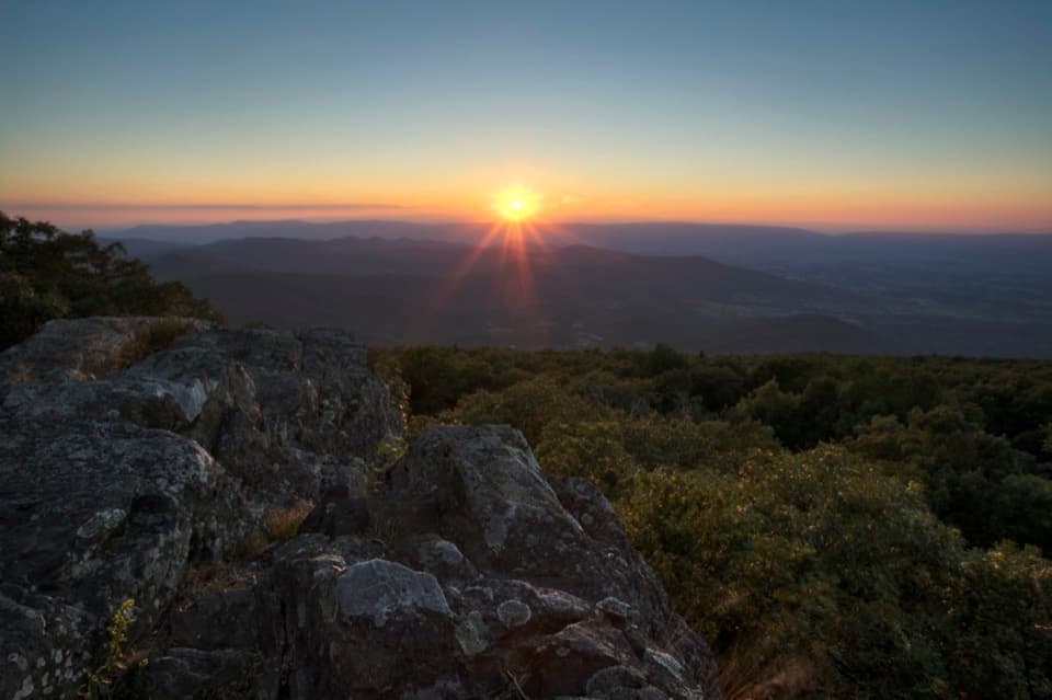 EasyBlackrock at Big Meadows0.2 mi · 15 min · 0.8 mi awayA quick climb to a broad Massanutten view.
 ModerateLewis Falls Trail2.8 mi · 4 hr · 0.9 mi awayAn 81-foot waterfall and ridge views reward this rocky loop.
 ModerateRose River Falls Loop4 mi · 4.5 hr · 1.1 mi awayRocky streamside loop to a waterfall, with an uphill finish.
 ChallengingBig Meadows and Laurel Prong Loop19 mi · 15 hr · 1.1 mi awayA two-night loop links Big Meadows, Lewis Falls, and Hoover’s retreat.
 EasyAppalachian Trail - Tanners Ridge Road2.1 mi · 1.5 hr · 1.5 mi awayAn easy A.T. walk to old farm traces and a family cemetery.ModerateRapidan Camp via Mill Prong4 mi · 2.8 hr · 1.6 mi awayThree stream crossings lead to Hoover’s historic mountain retreat.
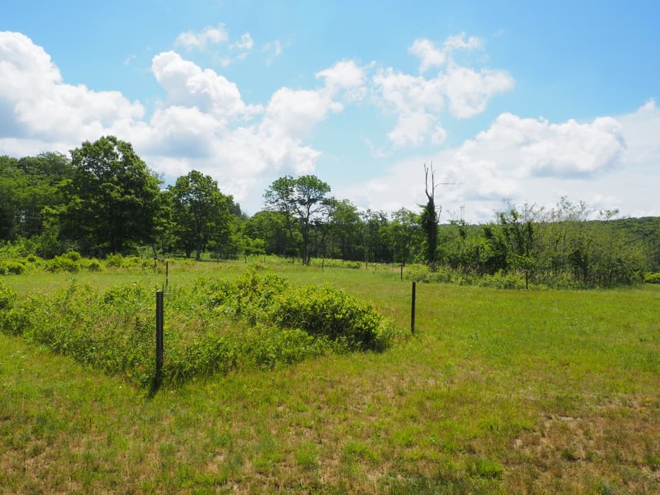 Sight · 0.2 mi awayBig Meadows CCC CampA short walk through Big Meadows' CCC camp footprint.
 Visitor center · 0.3 mi awayHarry F. Byrd Sr. Visitor CenterSee how the park was made before you head out exploring.
 Sight · 0.4 mi awayDark Hollow FallsA brief, steep stream walk to a 70-foot cascade.
 Food · 0.4 mi awayBig Meadows WaysideA practical food and supply stop on the park's central stretch.
 Sight · 0.5 mi awayBig MeadowsAn open break from the forest, rich in wildlife and rare wetlands.
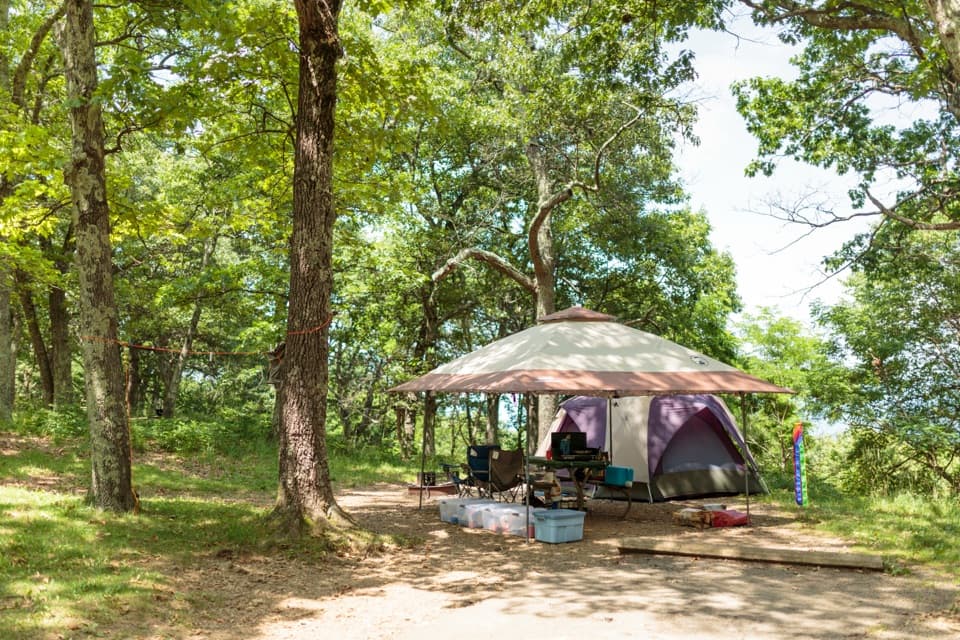 Campground · 0.7 mi awayBig Meadows CampgroundA leafy base near the meadow, waterfalls, and visitor center.
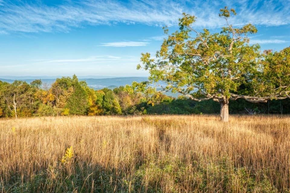 Scenic pullout · 0.7 mi awayTanners Ridge OverlookLook across the field toward Stanley and the Shenandoah Valley.
 Picnic area · 0.9 mi awayBig Meadows Picnic GroundsA table-and-grill break with a 1930s CCC backstory.
Parkwolf’s Shenandoah ranking
The audio tour guide for the drive, plus offline maps, trails, and wildlife heatmaps for when the signal drops.





