Parking
Start at the north end of Fishers Gap parking area on Skyline Drive, mile 49.4, beside Fishers Gap Overlook. Cross Skyline Drive to begin the hike.

#8 of 163 trails in Shenandoah
Shenandoah National Park, VA
Rocky streamside loop to a waterfall, with an uphill finish.
Overview
Map & elevation
Plan your hike

The highest, rockiest slopes around here are a summer buffet for grizzly bears.
Shenandoah Tour Guide
Parkwolf is a GPS audio tour guide for Shenandoah National Park. As you drive, it chimes in with what’s ahead: hidden gems, upcoming stops, history, geology, and wildlife, right through your car’s speakers.
See the Shenandoah audio tourRecorded for this trailhead
Fishers Gap: The Rose River Falls Loop“Fishers Gap is coming up, the starting point for the Rose River Falls loop. Choose this for a long streamside hike, with smaller cascades and pools as well as the sixty-seven-foot waterfall.”
Plays as you drive up to this trailhead in the Parkwolf Shenandoah Tour Guide.
More stories near here in the app
“Fantastic app with many points of information… It’s great to just turn on while you’re driving and it gives you an audio tour of the national Park. We love it!!!!”


Trail guide
Rose River Falls is a moderate, four-mile loop from Fishers Gap to a 67-foot waterfall and a chain of smaller cascades, returning by a different fire-road route. Allow about four and a half hours for the full walk and its 910 feet of ascent. The trail first drops from Skyline Drive toward the river; the final climb back is part of the hike, not an optional afterthought. This is the full circuit, not the shorter fire-road walk some visitors make to the falls and back.
Start at the north end of Fishers Gap parking area, cross Skyline Drive and descend the fire road. Just past the chain, turn onto the yellow-blazed Skyland–Big Meadows Horse Trail. After roughly six-tenths of a mile, join the blue-blazed Rose River Loop Trail. Watch for the change in blazes at this first junction; visitors sometimes miss it. Cell reception and GPS can be unreliable in the park, so carry a route map and follow the marked turns rather than relying on your phone alone.
The blue-blazed stretch leads to the main 67-foot drop, then continues along the stream toward a bridge and a steeper, rocky section beside more cascades and pools. The smaller drops make this feel like a creek hike as much as a waterfall visit. Flow changes with rain: visitors describe stronger water after wet weather and less flow during dry spells. The falls and stream are the route’s defining views, but stay off the rocks around the waterfalls; climbing there is dangerous. You can enjoy the water from the established route without scrambling down a slick bank for another angle.
At the yellow-blazed fire road, turn right and cross the bridge. An optional out-and-back to the base of Dark Hollow Falls adds about a quarter mile. From the junction, the fire-road climb back to Skyline Drive is about a mile. You have already descended into the valley, so save some energy for this finish. The climb is the most demanding part of the circuit, particularly after the rocky streamside tread.
The trail starts at the north end of Fishers Gap parking area on Skyline Drive, near Fishers Gap Overlook at mile 49.4; cross the drive to begin. A park entrance fee applies, but there is no separate activity fee or reservation for this walk. Dogs are allowed on a leash no longer than six feet. The route is not ADA accessible.
Wildlife
 325 sightingsBlack BearMost seen around 6 AMSighting map
 21 sightingsBald EagleMost seen around 10 AMSighting map
 1,036 sightingsWhite-tailed DeerMost seen around 7 PMSighting map
 167 sightingsWild TurkeyMost seen around 7 AMSighting map
 93 sightingsTimber RattlesnakeMost seen around 6 PMSighting map
 24 sightingsCoyoteMost seen around 6 AMSighting map
Sighting maps show where each species has been reported across Shenandoah. Wildlife moves, so no sighting is guaranteed.
Keep exploring
 ChallengingBig Meadows and Laurel Prong Loop19 mi · 15 hr · At the trailheadA two-night loop links Big Meadows, Lewis Falls, and Hoover’s retreat.
 ModerateLewis Falls Trail2.8 mi · 4 hr · 1 mi awayAn 81-foot waterfall and ridge views reward this rocky loop.
 ModerateDark Hollow Falls1.4 mi · 1.5 hr · 1.1 mi awayA shady creek descent, a waterfall, and a steep climb back.
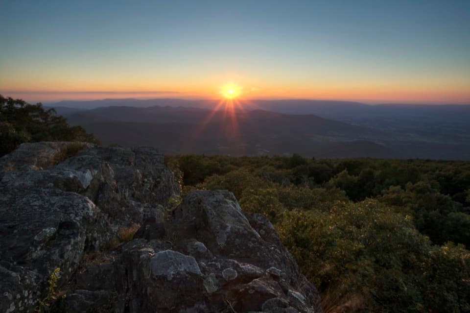 EasyBlackrock at Big Meadows0.2 mi · 15 min · 1.2 mi awayA quick climb to a broad Massanutten view.
 EasyStory of the Forest Trail1.8 mi · 1.5 hr · 1.4 mi awayAn easy woods loop past a stream and air-quality station.
 ChallengingRapidan, Fork Mountain & Rose River Circuit22.9 mi · 16 hr · 1.6 mi awayAn overnight circuit through Hoover’s historic Rapidan Camp.
 EasyHawksbill Summit via Upper Hawksbill2.1 mi · 1.5 hr · 1.7 mi awayA short climb to Shenandoah’s high point and its stone-walled panorama.ModerateHawksbill Loop2.9 mi · 2.5 hr · 2.4 mi awayA rocky 2.9-mile loop to Hawksbill’s 360-degree summit views.
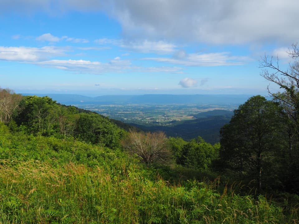 Scenic pullout · 0.1 mi awayFishers Gap OverlookA narrow valley view frames New Market Gap's Civil War story.
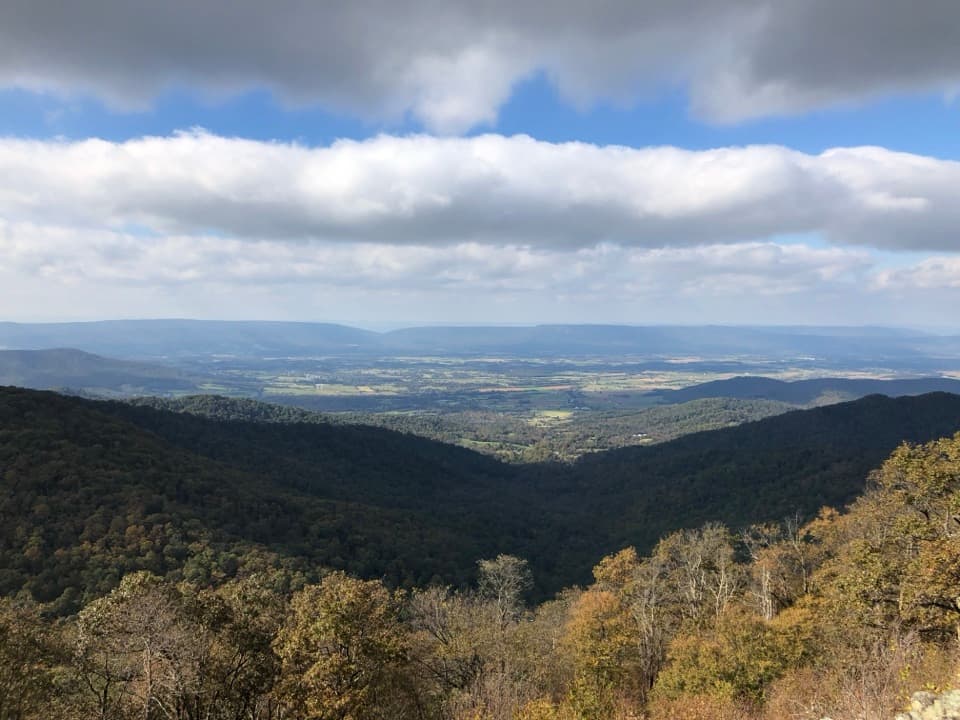 Scenic pullout · 0.3 mi awayFranklin Cliffs OverlookA quick pull-off for a focused valley view and colorful volcanic rock.Sight · 0.7 mi awayRose River FallsA 67-foot waterfall with cascades along its four-mile approach.
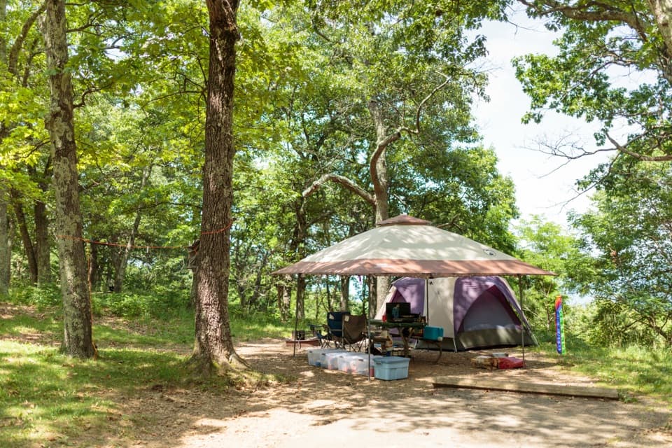 Campground · 0.9 mi awayBig Meadows CampgroundA leafy base near the meadow, waterfalls, and visitor center.
 Picnic area · 1 mi awayBig Meadows Picnic GroundsA table-and-grill break with a 1930s CCC backstory.
 Sight · 1 mi awayDark Hollow FallsA brief, steep stream walk to a 70-foot cascade.
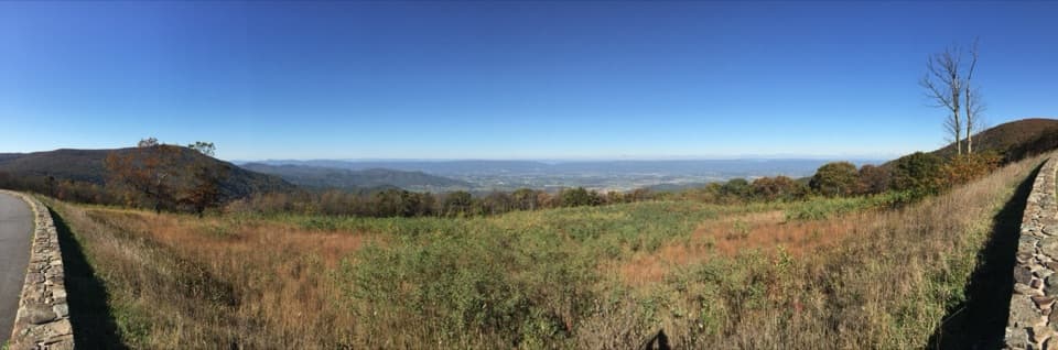 Sight · 1 mi awaySpitler Knoll OverlookA broad meadow view over the valley, especially near sunset.
 Lodging · 1.1 mi awayBig Meadows LodgeA rustic Skyline Drive stay, with dinner and valley views.
Parkwolf’s Shenandoah ranking

The audio tour guide for the drive, plus offline maps, trails, and wildlife heatmaps for when the signal drops.




