Parking
Start at Rapidan Road Parking Area on Skyline Drive near milepost 51.2, opposite Byrd Visitor Center. Rapidan Road is closed to private vehicles beyond this access point.

Shenandoah National Park, VA
An overnight circuit through Hoover’s historic Rapidan Camp.
Overview
Map & elevation
Plan your hike

The highest, rockiest slopes around here are a summer buffet for grizzly bears.
Shenandoah Tour Guide
Parkwolf is a GPS audio tour guide for Shenandoah National Park. As you drive, it chimes in with what’s ahead: hidden gems, upcoming stops, history, geology, and wildlife, right through your car’s speakers.
See the Shenandoah audio tourRecorded for this area
Big Meadows: Deer and a Break from the Forest“You're coming up on Big Meadows, a broad grassy opening in the middle of all this forest. I'd stop here for a short wander, especially if you want to stretch your legs without a major hike.”
Plays on the road 0.1 mi from the trailhead in the Parkwolf Shenandoah Tour Guide.
More stories near here in the app
“Fantastic app with many points of information… It’s great to just turn on while you’re driving and it gives you an audio tour of the national Park. We love it!!!!”


Trail guide
This is a 22.9-mile overnight loop from Rapidan Road Parking Area through Rapidan Camp, over Fork Mountain and back by Upper Dark Hollow, Rose River Fire Road and Stony Mountain. It follows a mix of foot trails and unpaved fire roads, with the overnight camp in Rapidan Wildlife Management Area outside the park. Plan for two days; about 16 hours of walking in total is a conservative hiking estimate, since the itinerary gives horse-travel distances rather than a walking time.
From the parking area, follow Rapidan Fire Road for 1.2 miles, then turn onto Mill Prong Horse Trail for about 1.8 miles. A short connector crosses Rapidan Camp to Laurel Prong Trail. Continue to Fork Mountain Trail and take it up to Fork Mountain Fire Road, which leads out of Shenandoah and into the WMA. The published full circuit chooses a campsite along Rapidan Fire Road; the location varies, so this is a real overnight plan rather than a fixed campground stop.
Continue along Rapidan Fire Road to Upper Dark Hollow Trail, then take Rose River Fire Road and Stony Mountain Trail back to Rapidan Fire Road and the car. This is the long Rose River circuit. The detailed route sheet also offers a shorter return of about 17.3 miles total by continuing up Rapidan Road directly to the car, skipping Upper Dark Hollow, Rose River Fire Road and Stony Mountain.
The route’s standout stop is the Hoovers’ rustic presidential retreat. The preserved Brown House, Prime Minister’s Cabin, marked building sites and interpretive panels bring the camp’s history into the walk; it was designated a National Historic Landmark as Camp Hoover in 1988. Interior exhibits are available only when caretakers are present, usually in the warmer part of the year.
Hiking is welcome in Rapidan WMA, but most visitors age 17 or older need a DWR access permit unless exempt, and overnight camping needs separate written authorization. Camping is primitive and dispersed, with no established sites, potable water or restrooms; use a previously cleared location. Hunting is allowed in the WMA, and the route itinerary advises blaze orange during hunting season. Pets are allowed; keep them leashed, and check the current WMA rules for hunting seasons.
Despite the name, this route follows Rose River Fire Road and does not go to Rose River Falls. The 67-foot waterfall belongs to a separate, shorter circuit from Fishers Gap.
Wildlife
 325 sightingsBlack BearMost seen around 6 AMSighting map
 21 sightingsBald EagleMost seen around 10 AMSighting map
 1,036 sightingsWhite-tailed DeerMost seen around 7 PMSighting map
 167 sightingsWild TurkeyMost seen around 7 AMSighting map
 93 sightingsTimber RattlesnakeMost seen around 6 PMSighting map
 24 sightingsCoyoteMost seen around 6 AMSighting map
Sighting maps show where each species has been reported across Shenandoah. Wildlife moves, so no sighting is guaranteed.
Keep exploring
 EasyStory of the Forest Trail1.8 mi · 1.5 hr · 0.2 mi awayAn easy woods loop past a stream and air-quality station.
 ModerateDark Hollow Falls1.4 mi · 1.5 hr · 0.5 mi awayA shady creek descent, a waterfall, and a steep climb back.
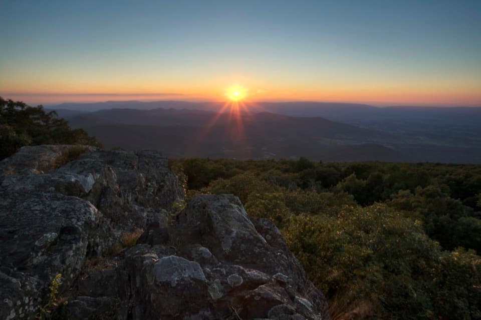 EasyBlackrock at Big Meadows0.2 mi · 15 min · 0.8 mi awayA quick climb to a broad Massanutten view.
 ModerateLewis Falls Trail2.8 mi · 4 hr · 1 mi awayAn 81-foot waterfall and ridge views reward this rocky loop.
 EasyAppalachian Trail - Tanners Ridge Road2.1 mi · 1.5 hr · 1.1 mi awayAn easy A.T. walk to old farm traces and a family cemetery.ModerateRapidan Camp via Mill Prong4 mi · 2.8 hr · 1.1 mi awayThree stream crossings lead to Hoover’s historic mountain retreat.
 ModerateMill Prong - Laurel Prong Loop7.4 mi · 7.5 hr · 1.1 mi awayA 7.4-mile loop to Hoover’s Rapidan Camp with three stream crossings.
 EasyHazeltop Mountain via Milam Gap4.2 mi · 2.3 hr · 1.1 mi awayA gentle Appalachian Trail climb to a rocky western view from Hazeltop.
 Sight · 0.1 mi awayBig MeadowsAn open break from the forest, rich in wildlife and rare wetlands.
 Food · 0.1 mi awayBig Meadows WaysideA practical food and supply stop on the park's central stretch.
 Visitor center · 0.2 mi awayHarry F. Byrd Sr. Visitor CenterSee how the park was made before you head out exploring.
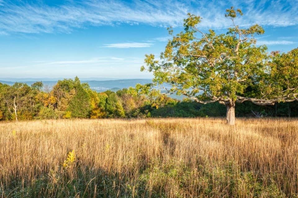 Scenic pullout · 0.2 mi awayTanners Ridge OverlookLook across the field toward Stanley and the Shenandoah Valley.
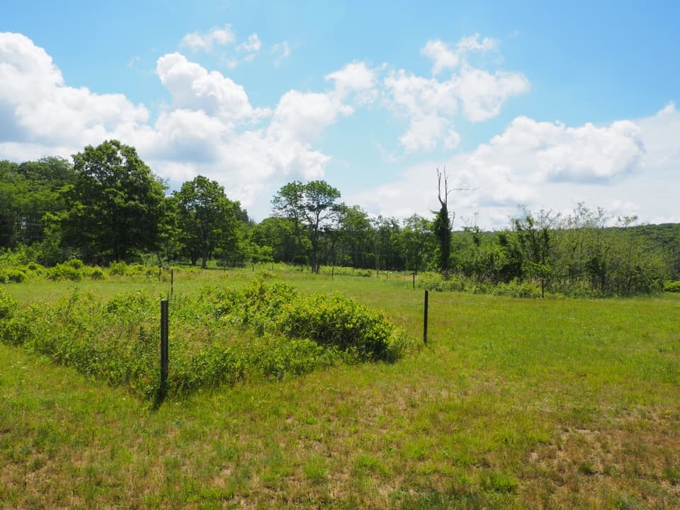 Sight · 0.5 mi awayBig Meadows CCC CampA short walk through Big Meadows' CCC camp footprint.Sight · 0.6 mi awayLewis FallsA steep, rocky loop to an 81-foot waterfall.
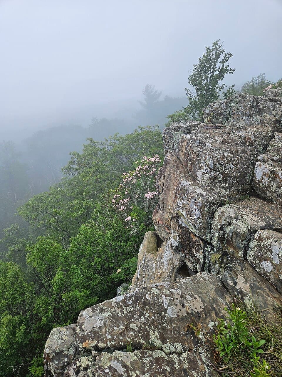 Sight · 0.8 mi awayBlackrock at Big MeadowsA short climb for a long look along Massanutten Mountain.
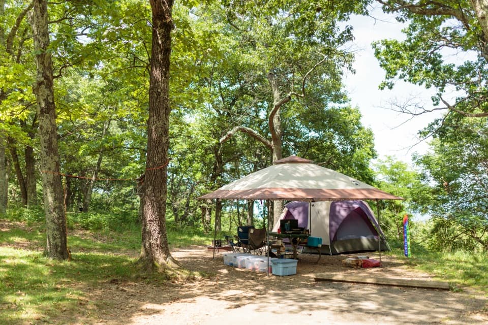 Campground · 0.9 mi awayBig Meadows CampgroundA leafy base near the meadow, waterfalls, and visitor center.
Parkwolf’s Shenandoah ranking

The audio tour guide for the drive, plus offline maps, trails, and wildlife heatmaps for when the signal drops.





