Parking
Start at Meadow Spring Parking Area on Skyline Drive near milepost 33.5, then cross the drive to Meadow Spring Trail.

Shenandoah National Park, VA
Four days of river valleys, cabin history, and backcountry miles.
Overview
Map & elevation
Plan your hike

The highest, rockiest slopes around here are a summer buffet for grizzly bears.
Shenandoah Tour Guide
Parkwolf is a GPS audio tour guide for Shenandoah National Park. As you drive, it chimes in with what’s ahead: hidden gems, upcoming stops, history, geology, and wildlife, right through your car’s speakers.
See the Shenandoah audio tourRecorded for this area
Meadow Spring: Summit View or Hidden Falls“You're approaching Meadow Spring, a starting point for Marys Rock and Hazel River Falls.”
Plays near this trailhead in the Parkwolf Shenandoah Tour Guide.
More stories near here in the app
“Fantastic app with many points of information… It’s great to just turn on while you’re driving and it gives you an audio tour of the national Park. We love it!!!!”


Trail guide
This is a hard, roughly 25.2-mile backpacking loop from Meadow Spring, through Nicholson Hollow, Hot Short, Pine Hill Gap, Broad Hollow, Catlett, Hazel River and White Rocks, then back along Hazel Mountain. Plan four days and three nights. It is one version of a flexible wilderness trip: the listed options range from 18.3 to 27 miles, depending on route and camps. This line follows the longer Broad Hollow branch and the Catlett-to-White-Rocks choice. It is not a single signed trail, and two junction links between named trails are not clear in mapped trail lines. Carry a current detailed Central District map and confirm those links as you go.
Start by crossing Skyline Drive and climbing Meadow Spring Trail to the Appalachian Trail. Follow the AT south to Nicholson Hollow, then drop into the Hughes River valley. The route passes Corbin Cabin and several river crossings; the water, cascades and pools are the best reason to take this long loop. The valley also preserves traces of earlier settlement around Corbin Cabin.
From Nicholson Hollow, the loop turns onto Hot Short, then takes the longer Pine Hill Gap and Broad Hollow option. A short gravel-road connector and Sam's Ridge link Broad Hollow with Hazel Mountain and Catlett. Expect repeated climbs, wooded trail junctions and no services along the loop. Other route choices can shorten the trip, but they change which segments and distance are shown here.
Catlett Mountain and Catlett Spur lead back to Hazel Mountain, then the route follows Hazel River toward White Rocks. White Rocks offers a break in the forest for valley views. The Cave/Falls spur nearby is a worthwhile optional detour for cascades and small pools; it is not included in the 25.2-mile mapped line. Continue along White Rocks to Hazel Mountain for the final climb to Meadow Spring.
The Hughes and Hazel rivers cross the route several times and can rise to knee or waist depth in spring or after heavy rain. High water can make this loop unsafe; check conditions before you commit. Overnight camping requires a Shenandoah backcountry permit, and campsite plans should match that permit. Dogs may use these trails on a physical leash no longer than six feet.
Wildlife
 325 sightingsBlack BearMost seen around 6 AMSighting map
 21 sightingsBald EagleMost seen around 10 AMSighting map
 1,036 sightingsWhite-tailed DeerMost seen around 7 PMSighting map
 167 sightingsWild TurkeyMost seen around 7 AMSighting map
 93 sightingsTimber RattlesnakeMost seen around 6 PMSighting map
 24 sightingsCoyoteMost seen around 6 AMSighting map
Sighting maps show where each species has been reported across Shenandoah. Wildlife moves, so no sighting is guaranteed.
Keep exploring
 ModerateHazel River Falls Hike5.3 mi · 5 hr · At the trailheadA 5.3-mile round trip to a shaded cave and two small falls.
 ChallengingBuck Hollow and Buck Ridge Loop5.9 mi · 3.5 hr · At the trailheadA streamside descent, 600 steps, and a hard climb back up.
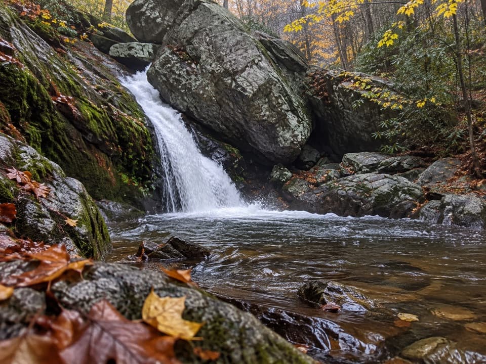 ChallengingHazel River - White Rocks Loop8.5 mi · 6 hr · At the trailheadLong loop, short spur to a cave and two falls.
 ModerateHazel Mountain–Catlett Mountain Loop7.8 mi · 5 hr · At the trailheadA wooded backcountry loop with old walls and stream crossings.
 ModerateMarys Rock from Meadow Spring2.9 mi · 3 hr · At the trailheadA shorter south-side climb to Marys Rock's westward valley view.
 ChallengingHannah, Hot-Short, and Catlett Loop9.1 mi · 7.5 hr · 1.2 mi awayA strenuous loop past cascades, stone walls, and mining traces.
 ModerateMarys Rock Summit Trail3.7 mi · 3.5 hr · 1.5 mi awayA rocky climb from Panorama earns a big west-facing view.
 ChallengingLeading Ridge Trail2.7 mi · 2.8 hr · 1.5 mi awayA short ridge hike with a punishing climb and steep return
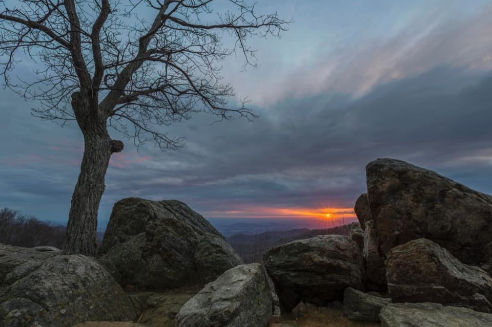 Sight · 0.4 mi awayHazel Mountain OverlookA tree-topped rock anchors this layered Blue Ridge view.
 Scenic pullout · 0.6 mi awayBuck Hollow OverlookA sunrise stop above layered ridges and Sperryville.
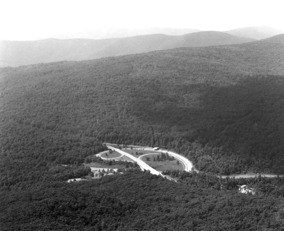 Sight · 0.9 mi awayMarys RockA boulder summit rewards the hike with a sweeping valley-and-ridge view.
 Sight · 0.9 mi awayTunnel Parking OverlookA quick east-facing view beside Skyline Drive's only tunnel.
 Sight · 1.1 mi awayMarys Rock TunnelCheck the 12-foot-8 ceiling before this 1932 drive-through.
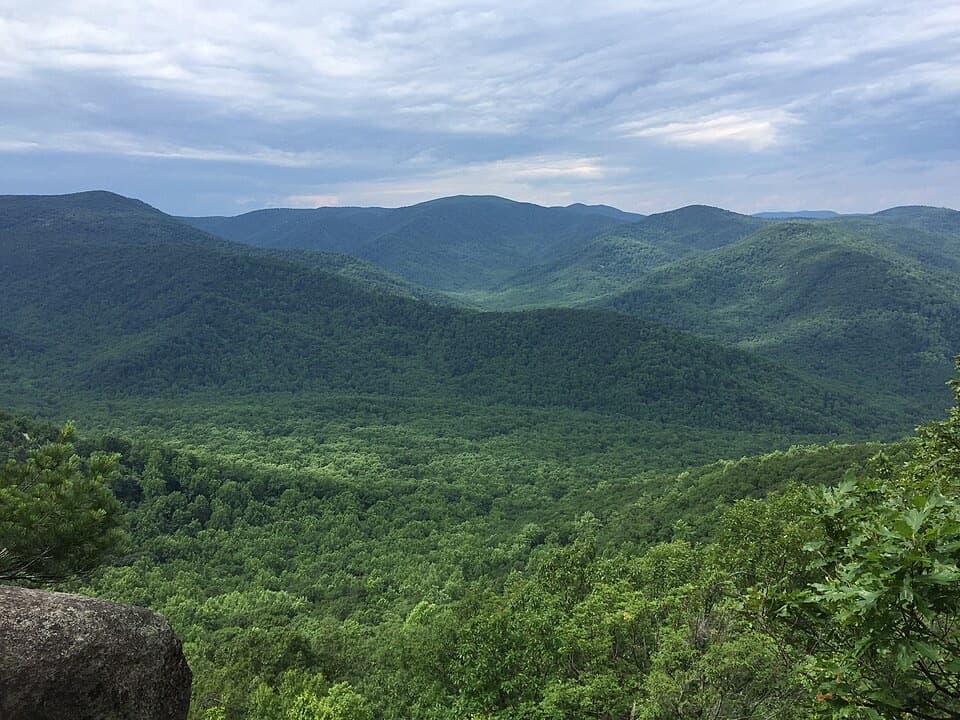 Sight · 1.1 mi awayThe PinnacleA short AT climb opens onto views across Shenandoah Valley.
 Sight · 1.2 mi awayPinnacles OverlookA roadside view puts Old Rag across Hannah Run.
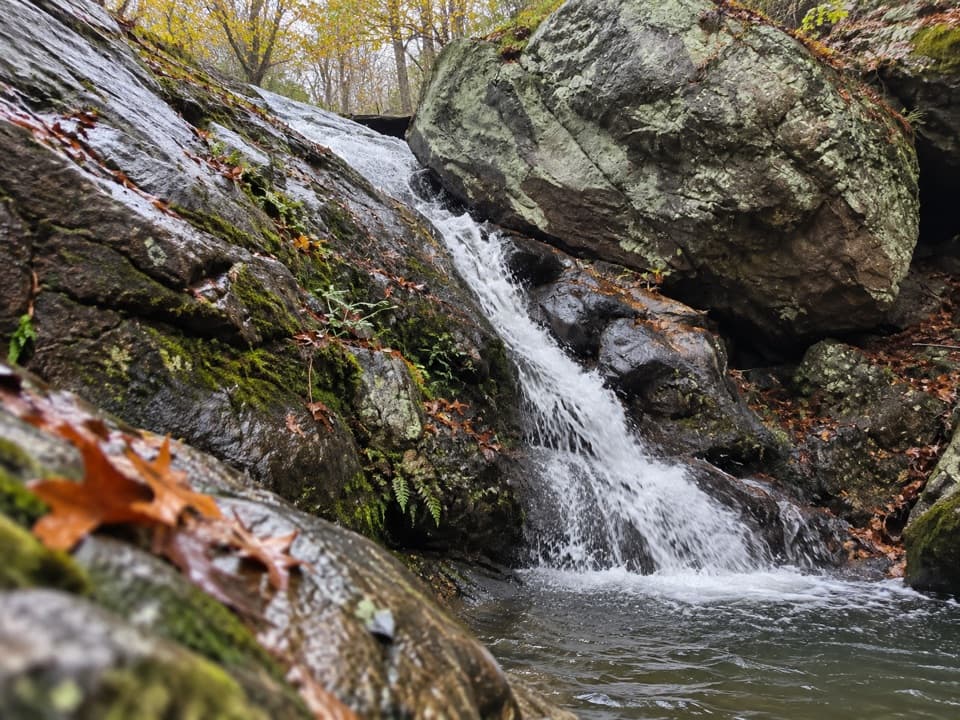 Sight · 1.5 mi awayHazel River FallsTwo small falls tucked beneath boulders, reached by a long hike.
Parkwolf’s Shenandoah ranking

The audio tour guide for the drive, plus offline maps, trails, and wildlife heatmaps for when the signal drops.




