Parking
Meadow Spring Parking Area on Skyline Drive at mile 33.5. Start by the Hazel Mountain Trail marker at the south end of the small, shared lot.

Shenandoah National Park, VA
A 5.3-mile round trip to a shaded cave and two small falls.
Overview
Map & elevation
Plan your hike

The highest, rockiest slopes around here are a summer buffet for grizzly bears.
Shenandoah Tour Guide
Parkwolf is a GPS audio tour guide for Shenandoah National Park. As you drive, it chimes in with what’s ahead: hidden gems, upcoming stops, history, geology, and wildlife, right through your car’s speakers.
See the Shenandoah audio tourRecorded for this trailhead
Meadow Spring: Summit View or Hidden Falls“You're approaching Meadow Spring, a starting point for Marys Rock and Hazel River Falls.”
Plays as you drive up to this trailhead in the Parkwolf Shenandoah Tour Guide.
More stories near here in the app
“Fantastic app with many points of information… It’s great to just turn on while you’re driving and it gives you an audio tour of the national Park. We love it!!!!”


Trail guide
This is a 5.3-mile out-and-back from Meadow Spring to two small waterfalls and back. Follow the yellow-blazed Hazel Mountain Trail past Buck Ridge, take the fork left onto yellow-blazed White Rocks Trail, then turn right at the next trailpost for the falls. Retrace your steps from the falls spur; continuing east on White Rocks toward Hazel River makes a different, much longer circuit.
Most of Hazel Mountain Trail follows a broad, partly gravelly old roadbed through leafy woods. It trends downhill from Skyline Drive, and the river can be heard off to one side before you reach the waterfall spur. White Rocks narrows and stays shady at first, then opens now and then for southern views. You'll climb the same ground back to the lot.
The destination is a small, shaded rock grotto with a lower pool and cascade. Farther upstream, a more prominent waterfall comes through a cavern-like opening, bends around a large boulder, and drops into another pool; a shallow, dark cave sits beside it. The trailpost at the spur is labeled Cave Falls, one of the local names for the same place. The spur is short but steep, with stony steps and rocks underfoot. The boulder, upper cascade, and pool make the clearest photo composition.
NPS rates the hike moderate, lists 1,070 feet of elevation gain, and gives five hours. Allow time for the return climb and a break at the falls. Meadow Spring is a small shared lot on Skyline Drive at mile 33.5. Pets are allowed on a leash no longer than six feet. The park entrance fee applies; NPS lists no hike-specific fee or reservation. The hike is listed year-round, though Skyline Drive can close; check current park status before you drive in. Water and restrooms aren't listed at Meadow Spring or along this route, so plan to be self-sufficient.
Wildlife
 325 sightingsBlack BearMost seen around 6 AMSighting map
 21 sightingsBald EagleMost seen around 10 AMSighting map
 1,036 sightingsWhite-tailed DeerMost seen around 7 PMSighting map
 167 sightingsWild TurkeyMost seen around 7 AMSighting map
 93 sightingsTimber RattlesnakeMost seen around 6 PMSighting map
 24 sightingsCoyoteMost seen around 6 AMSighting map
Sighting maps show where each species has been reported across Shenandoah. Wildlife moves, so no sighting is guaranteed.
Keep exploring
 ChallengingBuck Hollow and Buck Ridge Loop5.9 mi · 3.5 hr · At the trailheadA streamside descent, 600 steps, and a hard climb back up.
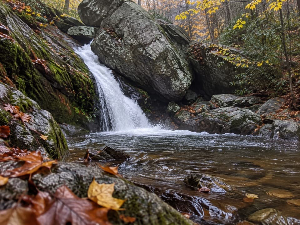 ChallengingHazel River - White Rocks Loop8.5 mi · 6 hr · At the trailheadLong loop, short spur to a cave and two falls.
 ModerateHazel Mountain–Catlett Mountain Loop7.8 mi · 5 hr · At the trailheadA wooded backcountry loop with old walls and stream crossings.
 ModerateMarys Rock from Meadow Spring2.9 mi · 3 hr · At the trailheadA shorter south-side climb to Marys Rock's westward valley view.
 ChallengingNicholson and Hazel Wilderness Circuit25.2 mi · 20 hr · At the trailheadFour days of river valleys, cabin history, and backcountry miles.
 ChallengingHannah, Hot-Short, and Catlett Loop9.1 mi · 7.5 hr · 1.2 mi awayA strenuous loop past cascades, stone walls, and mining traces.
 ModerateMarys Rock Summit Trail3.7 mi · 3.5 hr · 1.5 mi awayA rocky climb from Panorama earns a big west-facing view.
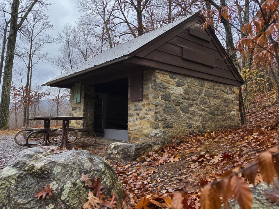 ModeratePass Mountain Loop3.4 mi · 2.5 hr · 1.5 mi awayA moderate loop to an Appalachian Trail shelter through open woods.
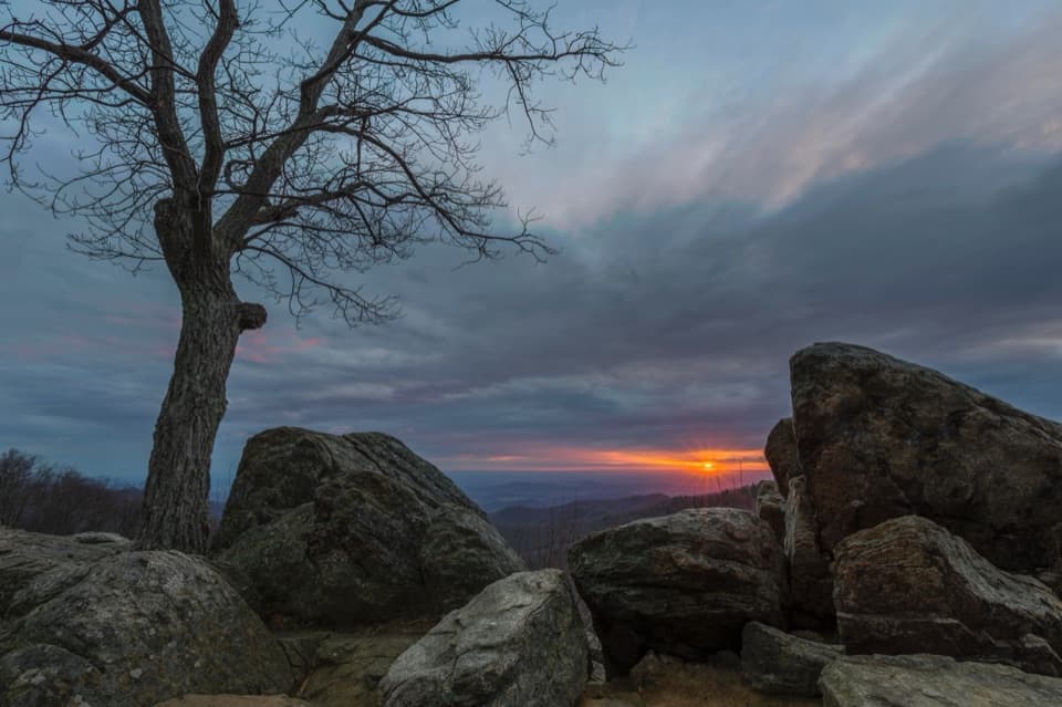 Sight · 0.4 mi awayHazel Mountain OverlookA tree-topped rock anchors this layered Blue Ridge view.
 Scenic pullout · 0.6 mi awayBuck Hollow OverlookA sunrise stop above layered ridges and Sperryville.
 Sight · 0.8 mi awayMarys RockA boulder summit rewards the hike with a sweeping valley-and-ridge view.
 Sight · 0.9 mi awayTunnel Parking OverlookA quick east-facing view beside Skyline Drive's only tunnel.
 Sight · 1.1 mi awayMarys Rock TunnelCheck the 12-foot-8 ceiling before this 1932 drive-through.
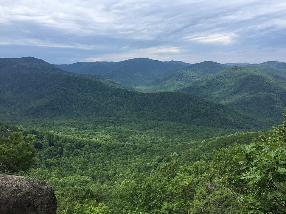 Sight · 1.1 mi awayThe PinnacleA short AT climb opens onto views across Shenandoah Valley.
 Sight · 1.2 mi awayPinnacles OverlookA roadside view puts Old Rag across Hannah Run.
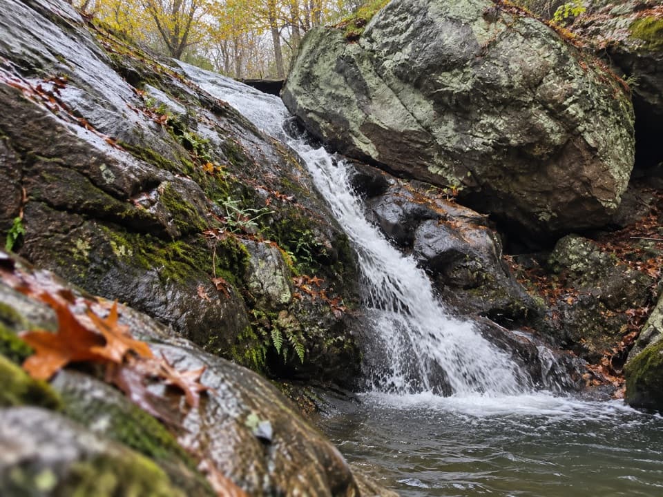 Sight · 1.5 mi awayHazel River FallsTwo small falls tucked beneath boulders, reached by a long hike.
Parkwolf’s Shenandoah ranking

The audio tour guide for the drive, plus offline maps, trails, and wildlife heatmaps for when the signal drops.




