Parking
Meadow Spring Parking Area on Skyline Drive at milepost 33.5; cross the road to the blue-blazed trail. The lot is small, so arrive early if you need a space.

#12 of 163 trails in Shenandoah
Shenandoah National Park, VA
A shorter south-side climb to Marys Rock's westward valley view.
Overview
Marys Rock from Meadow Spring is a 2.9-mile out-and-back to the rocky viewpoint at Marys Rock. It follows Meadow Spring Trail to the Appalachian Trail, then takes a short blue-blazed spur to the overlook. This is the shorter approach compared with starting at Panorama, with the same westward view across the Shenandoah Valley. The Panorama route is about 3.7 miles round trip, so Meadow Spring saves roughly eight-tenths of a mile. Allow about three hours for the climb and return; it is rated moderate and gains about 830 feet. The first climb is steep enough that this is a small summit hike, not a casual overlook stop. Choose it when you want a real uphill walk without committing half a day.
 Parkwolf’s verdictIs the south-side route for you?
Map & elevation
Plan your hike

The highest, rockiest slopes around here are a summer buffet for grizzly bears.
Shenandoah Tour Guide
Parkwolf is a GPS audio tour guide for Shenandoah National Park. As you drive, it chimes in with what’s ahead: hidden gems, upcoming stops, history, geology, and wildlife, right through your car’s speakers.
See the Shenandoah audio tourRecorded for this trailhead
Meadow Spring: Summit View or Hidden Falls“You're approaching Meadow Spring, a starting point for Marys Rock and Hazel River Falls.”
Plays as you drive up to this trailhead in the Parkwolf Shenandoah Tour Guide.
More stories near here in the app
“Fantastic app with many points of information… It’s great to just turn on while you’re driving and it gives you an audio tour of the national Park. We love it!!!!”


Trail guide
Park at Meadow Spring on Skyline Drive at milepost 33.5, cross Skyline Drive carefully, and pick up the blue blazes. The trail climbs through woods over uneven ground and wooden steps, with a gentler stretch before it reaches the Appalachian Trail. Shade covers much of this approach, and azaleas bloom along the route in season. The route passes remnants of the former Meadow Spring Shelter. Another account describes a stone chimney from a former home along the approach; the available accounts do not establish whether those are the same remains.
At the junction, turn right on the white-blazed Appalachian Trail and continue to the next trailpost. Turn left there onto the summit spur to reach the viewpoint. The route is straightforward when you follow the blazes, but take a moment to register the trailpost: on the way back, retrace the spur and rejoin the southbound Appalachian Trail toward Meadow Spring. Published measurements range from 2.7 to 2.9 miles; this guide uses the 2.9-mile itinerary.
The payoff is a rocky summit overlook opening west across the Shenandoah Valley toward Massanutten Mountain. The path leaves the woods for bare, uneven rock, so watch your footing while you look around. Marys Rock is one of the park's rounded, boulder-strewn summits formed from basement rock more than a billion years old. Frame the valley between the pale boulders to show both the open view and the rock underfoot.
The Meadow Spring parking area is small—one published count lists about a dozen spaces—and visitors report that it can be hard to find a spot. Arrive early if you need to park here. Bring drinking water and a snack; no potable-water stop is documented on the route. Dogs are allowed on a leash no longer than six feet. No reservation or separate activity fee is required, but a park entrance fee applies for Skyline Drive. The route is not ADA accessible.
Wildlife
 325 sightingsBlack BearMost seen around 6 AMSighting map
 21 sightingsBald EagleMost seen around 10 AMSighting map
 1,036 sightingsWhite-tailed DeerMost seen around 7 PMSighting map
 167 sightingsWild TurkeyMost seen around 7 AMSighting map
 93 sightingsTimber RattlesnakeMost seen around 6 PMSighting map
 24 sightingsCoyoteMost seen around 6 AMSighting map
Sighting maps show where each species has been reported across Shenandoah. Wildlife moves, so no sighting is guaranteed.
Keep exploring
 ModerateHazel River Falls Hike5.3 mi · 5 hr · At the trailheadA 5.3-mile round trip to a shaded cave and two small falls.
 ChallengingBuck Hollow and Buck Ridge Loop5.9 mi · 3.5 hr · At the trailheadA streamside descent, 600 steps, and a hard climb back up.
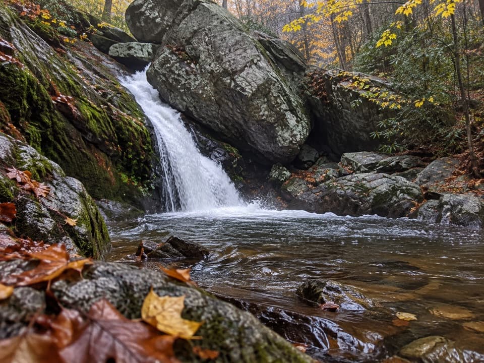 ChallengingHazel River - White Rocks Loop8.5 mi · 6 hr · At the trailheadLong loop, short spur to a cave and two falls.
 ModerateHazel Mountain–Catlett Mountain Loop7.8 mi · 5 hr · At the trailheadA wooded backcountry loop with old walls and stream crossings.
 ChallengingNicholson and Hazel Wilderness Circuit25.2 mi · 20 hr · At the trailheadFour days of river valleys, cabin history, and backcountry miles.
 ChallengingHannah, Hot-Short, and Catlett Loop9.1 mi · 7.5 hr · 1.2 mi awayA strenuous loop past cascades, stone walls, and mining traces.
 ModerateMarys Rock Summit Trail3.7 mi · 3.5 hr · 1.5 mi awayA rocky climb from Panorama earns a big west-facing view.
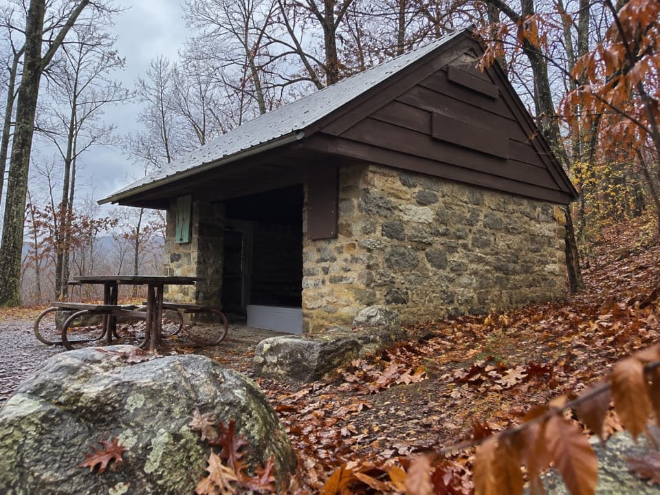 ModeratePass Mountain Loop3.4 mi · 2.5 hr · 1.5 mi awayA moderate loop to an Appalachian Trail shelter through open woods.
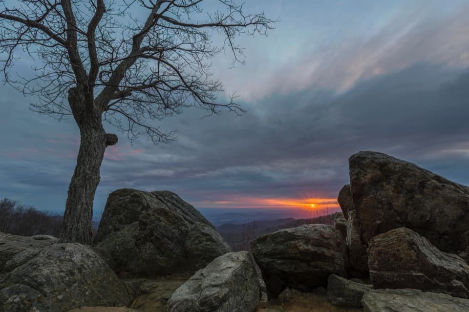 Sight · 0.4 mi awayHazel Mountain OverlookA tree-topped rock anchors this layered Blue Ridge view.
 Scenic pullout · 0.6 mi awayBuck Hollow OverlookA sunrise stop above layered ridges and Sperryville.
 Sight · 0.8 mi awayMarys RockA boulder summit rewards the hike with a sweeping valley-and-ridge view.
 Sight · 0.9 mi awayTunnel Parking OverlookA quick east-facing view beside Skyline Drive's only tunnel.
 Sight · 1.1 mi awayMarys Rock TunnelCheck the 12-foot-8 ceiling before this 1932 drive-through.
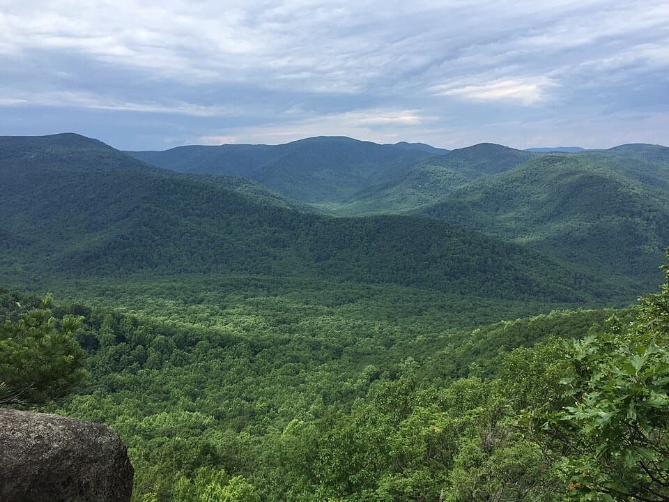 Sight · 1.1 mi awayThe PinnacleA short AT climb opens onto views across Shenandoah Valley.
 Sight · 1.2 mi awayPinnacles OverlookA roadside view puts Old Rag across Hannah Run.
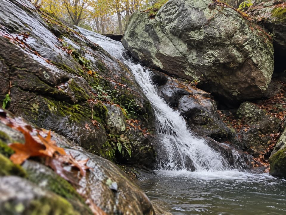 Sight · 1.5 mi awayHazel River FallsTwo small falls tucked beneath boulders, reached by a long hike.
Parkwolf’s Shenandoah ranking
The audio tour guide for the drive, plus offline maps, trails, and wildlife heatmaps for when the signal drops.




