Parking
Park at Two Mile Run Overlook on Skyline Drive at milepost 76; the trail access is a short walk from the overlook.

Shenandoah National Park, VA
A steep descent to Onemile Run, then climb back.
Overview
Map & elevation
Plan your hike

The highest, rockiest slopes around here are a summer buffet for grizzly bears.
Shenandoah Tour Guide
Parkwolf is a GPS audio tour guide for Shenandoah National Park. As you drive, it chimes in with what’s ahead: hidden gems, upcoming stops, history, geology, and wildlife, right through your car’s speakers.
See the Shenandoah audio tourRecorded for this area
Two Mile Run Overlook: White Cliffs in the Forest“Up ahead is Two Mile Run Overlook, where two tiers of pale quartzite cliffs break through the forest across Two Mile Ridge. Their curved shapes record rock folded deep underground as mountains formed.”
Plays on the road 0.1 mi from the trailhead in the Parkwolf Shenandoah Tour Guide.
More stories near here in the app
“Fantastic app with many points of information… It’s great to just turn on while you’re driving and it gives you an audio tour of the national Park. We love it!!!!”


Trail guide
Onemile Run Trail is a 1.8-mile out-and-back from the Two Mile Run Overlook access to the seventh stream crossing. Follow the same trail back and allow about two hours. The descent is steep, and the climb back comes on that same route, so this short mileage still asks for steady legs.
The trail reaches Onemile Run and crosses it repeatedly. The creek is the reason to take this one; stop at the seventh crossing, the documented turnaround for this route. This is a wooded stream walk, not a viewpoint hike, and you will spend more time watching your footing than looking for broad views.
Older accounts describe a longer walk toward the park boundary, but the full continuation has no reliable current route confirmation. This entry covers the 1.8-mile outing to the seventh crossing; turn around there. Park at Two Mile Run Overlook on Skyline Drive at milepost 76, then walk the short distance to the trail access. Dogs are allowed on Shenandoah trails with a physical leash no longer than six feet.
Wildlife
 325 sightingsBlack BearMost seen around 6 AMSighting map
 21 sightingsBald EagleMost seen around 10 AMSighting map
 1,036 sightingsWhite-tailed DeerMost seen around 7 PMSighting map
 167 sightingsWild TurkeyMost seen around 7 AMSighting map
 93 sightingsTimber RattlesnakeMost seen around 6 PMSighting map
 24 sightingsCoyoteMost seen around 6 AMSighting map
Sighting maps show where each species has been reported across Shenandoah. Wildlife moves, so no sighting is guaranteed.
Keep exploring
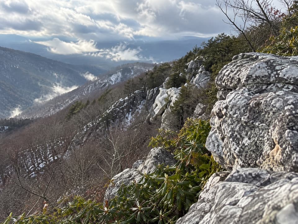 ModerateRocky Mount6.6 mi · 4.5 hr · 0.3 mi awayAn outcrop view after a steep drop and a tough climb back.
 ChallengingRocky Mount and Gap Run Loop10 mi · 7 hr · 0.5 mi awaySteep ridge miles, a rocky summit, and a quieter stream return.
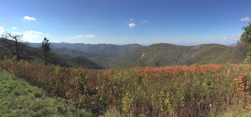 ChallengingBrown Mountain and Rocky Mountain Run Loop9.7 mi · 6.5 hr · 0.5 mi awayA full-day loop with quartzite ledges above Big Run.
 ModerateRocky Mountain via Brown Mountain Trail3.5 mi · 3.5 hr · 0.5 mi awayA rocky ledge and wide Blue Ridge view after a steep climb.
 ChallengingBrown Mountain and Rockytop Loop18.6 mi · 16 hr · 0.5 mi awayA three-day backpacking loop through Rockytop and the Big Run valley.
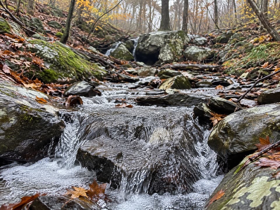 ModerateIvy Creek via the Appalachian Trail2.8 mi · 2 hr · 1 mi awayA rocky descent to a shaded creek; the return is the workout.
 ChallengingSimmons Gap and Big Run Circuit43.5 mi · 1.1 days · 1.7 mi awayA 43-mile backcountry loop over rocky ridges and Big Run crossings.
 EasySimmons Gap Road1.6 mi · 45 min · 1.7 mi awayAn easy woodland road walk past old stone walls and foundations.
 Scenic pullout · 0.1 mi awayTwo Mile Run OverlookWhite quartzite and a fire-shaped forest, steps from Skyline Drive.
 Scenic pullout · 0.5 mi awayBrown Mountain OverlookA long roadside view over Big Run and the Blue Ridge.
 Scenic pullout · 1 mi awayIvy Creek OverlookWeaver, Loft, and Flattop line up across this quick roadside stop.
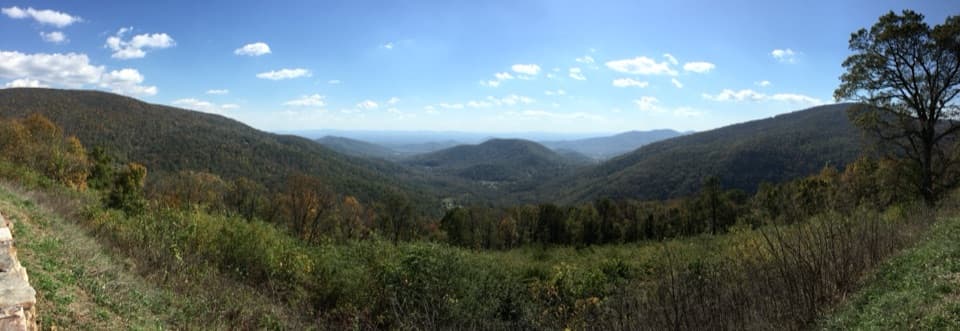 Scenic pullout · 1.4 mi awayLoft Mountain OverlookCounty Line Mountain anchors a long southeast view into the Piedmont
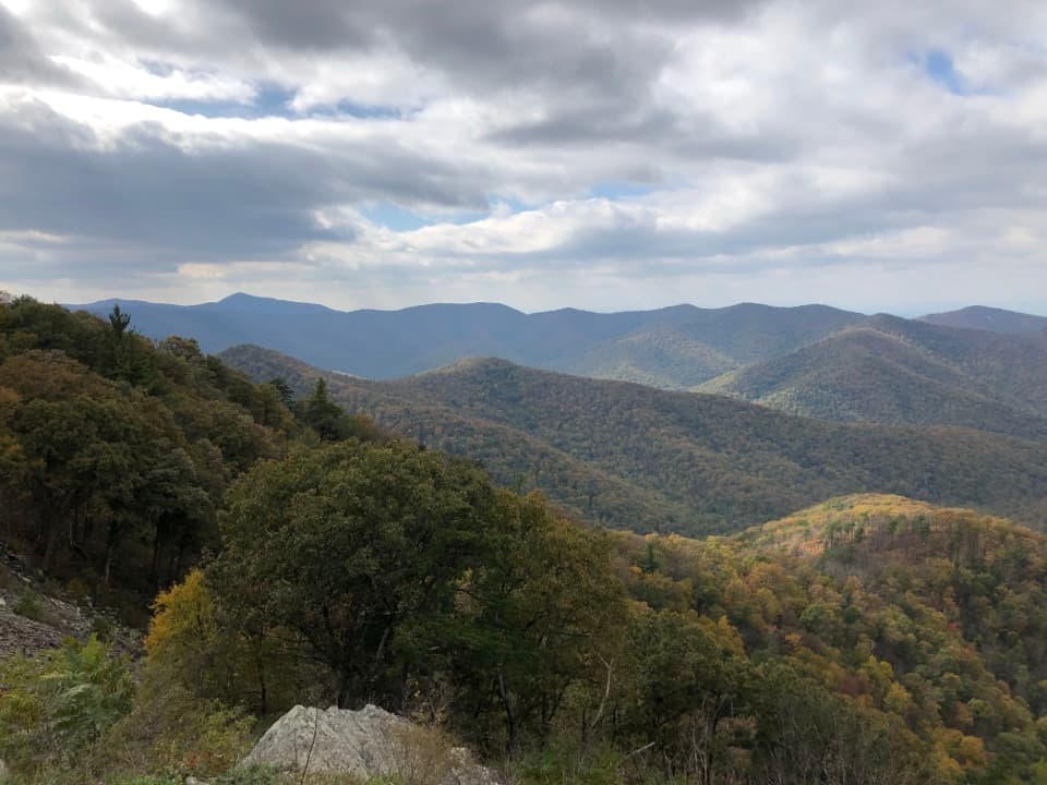 Sight · 1.5 mi awayRockytop OverlookA quick pull-off with a wide view across the southern Blue Ridge.
 Scenic pullout · 2 mi awayBeldor Hollow OverlookA quick mile-72.2 stop for split views of hollow and ridge.
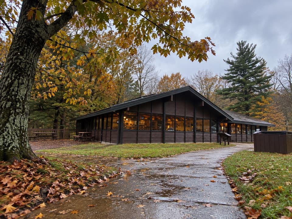 Food · 2.4 mi awayLoft Mountain WaysideA practical mile-79.5 break for shakes, souvenirs and picnic tables.
 Scenic pullout · 2.8 mi awayRocky Mount OverlookA quick Skyline Drive stop with a view straight toward Rocky Mount.
Parkwolf’s Shenandoah ranking

The audio tour guide for the drive, plus offline maps, trails, and wildlife heatmaps for when the signal drops.





