
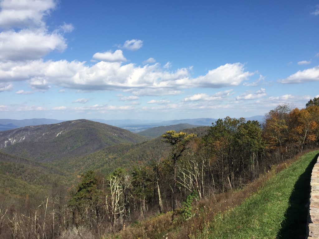
Place · 0.1 mi away
Challenging
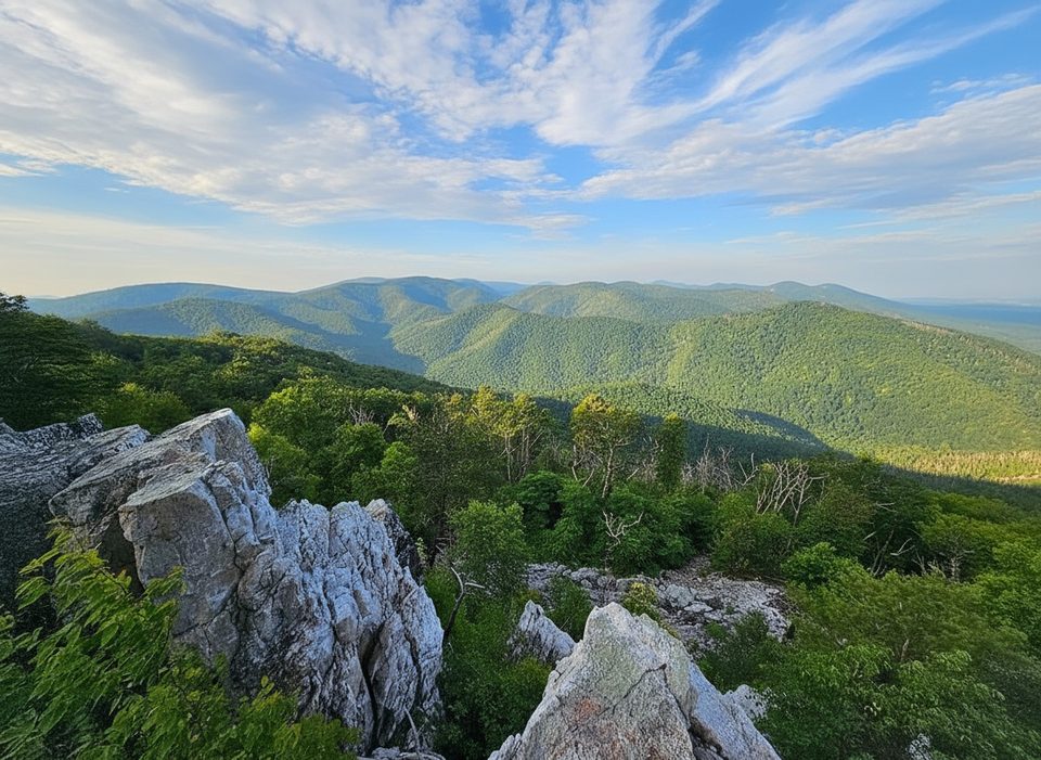
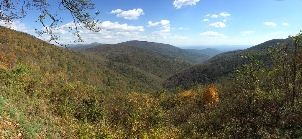
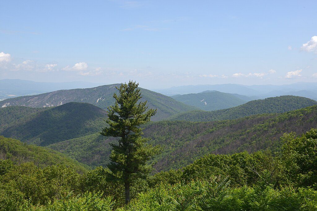
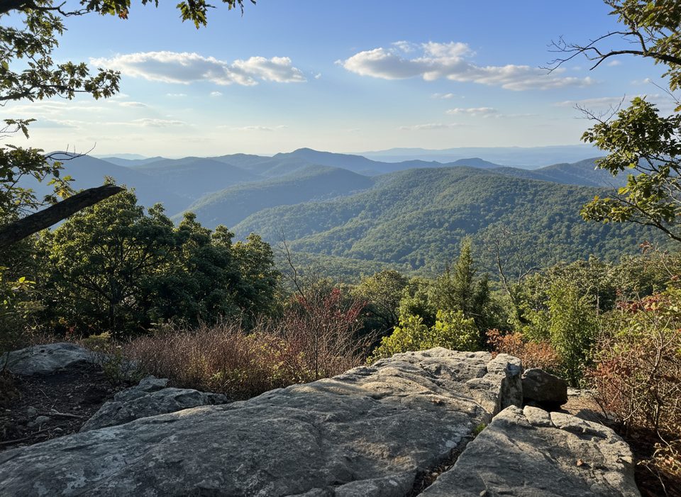
If you like your Shenandoah hikes long, quiet, and a little wild, this loop delivers. The roughly 10-mile lollipop-style circuit links the Rocky Mount and Gap Run Trails for a full-day, strenuous tour with big west-facing views from Rocky Mount’s summit and a cool, shaded stream corridor along Gap Run. It’s far less trafficked than the park’s marquee overlooks—expect real solitude.
Start near Two Mile Run Overlook on Skyline Drive (around milepost 76.2). Many hikers go clockwise: follow the Rocky Mount Trail as it rolls along a forested ridge, passes a small gap, then climbs the mountain’s north side before a steep descent to the signed junction with Gap Run. Turn right onto Gap Run Trail to drop into the stream valley, make the notable Gap Run crossing, then continue to a concrete post trail marker that helps guide the return leg. The loop closes back toward Skyline Drive, with a short repeat approach to the trailhead. Total distance is about 10 miles (total), with roughly 2,300 feet of elevation gain spread across multiple sustained climbs and descents.
Footing ranges from packed dirt to rocky, especially on the initial ascent/descent and near the summit. After rain, the trail can be muddy and slick, and the stream crossing is more spirited. It’s well blazed and signed (watch for the park’s concrete post markers), but this is a remote corner with limited cell service—carry a map or GPS.
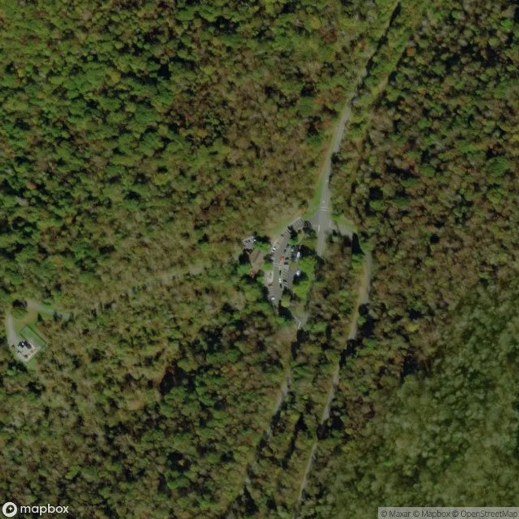
Small trailhead pullout near Two Mile Run Overlook on Skyline Drive (around milepost 76.2); typically doesn’t fill due to the trail’s low traffic.
Steep, rocky grades; muddy and slick after rain; at least one notable stream crossing; limited cell service and few bail-out options—carry a map/GPS and sufficient water.
Place · 0.1 mi away
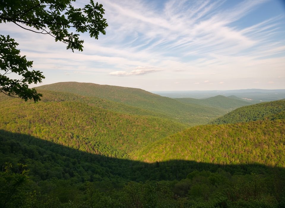
Place · 0.7 mi away
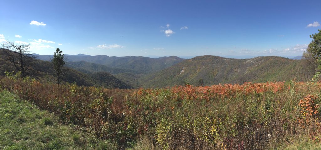
Place · 0.7 mi away
Place · 1.2 mi away
Moderate · 0.7 mi away

Challenging · 1.7 mi away
Easy · 2.7 mi away
Easy · 2.7 mi away

Parkwolf Tour Guide
