Parking
Brown Mountain Overlook on Skyline Drive at milepost 77 is the named entry and return point. Parking capacity and facilities were not confirmed.

Shenandoah National Park, VA
A three-day backpacking loop through Rockytop and the Big Run valley.
Overview
Map & elevation
Plan your hike

The highest, rockiest slopes around here are a summer buffet for grizzly bears.
Shenandoah Tour Guide
Parkwolf is a GPS audio tour guide for Shenandoah National Park. As you drive, it chimes in with what’s ahead: hidden gems, upcoming stops, history, geology, and wildlife, right through your car’s speakers.
See the Shenandoah audio tourRecorded for this area
Brown Mountain Overlook: Big Run Without the Hike“Brown Mountain Overlook is coming up, with a broad view across the Big Run valley and surrounding ridges. Stop here if you want an open panorama without a hike.”
Plays near this trailhead in the Parkwolf Shenandoah Tour Guide.
More stories near here in the app
“Fantastic app with many points of information… It’s great to just turn on while you’re driving and it gives you an audio tour of the national Park. We love it!!!!”


Trail guide
Brown Mountain and Rockytop Loop is an 18.6-mile backpacking circuit that starts and ends at Brown Mountain Overlook on Skyline Drive, milepost 77. It links Brown Mountain Trail, Big Run Portal, Rockytop Trail, Big Run Loop, and Rocky Mountain Run, dropping into the Big Run wilderness valley before climbing back to the overlook. The park's itinerary sets it up as a three-day trip for experienced hikers. Its written distance is 18.6 miles while the assembled trail line measures 17.75, so treat the figure as approximate and plan for roughly 18 miles.
The first day follows Brown Mountain Trail toward Big Run Portal and a backcountry campsite. On day two, cross the bridge to Rockytop, follow its long ridge section, then take Big Run Loop and continue along Big Run Portal to camp again. The final day stays on Big Run Portal to Rocky Mountain Run, then follows that trail and the short Brown Mountain return to the overlook. The suggested daily ranges are about 5.5 miles, 8–10 miles, and 3.4–5.4 miles; the location of the second campsite shifts distance between the last two days. Expect about 16 hours of hiking across the itinerary, before camping and long breaks.
Rockytop is the high, rugged middle stretch. A route account describes talus slopes and rough, brushy footing on the ridge, with westward openings toward Massanutten Mountain and Lewis Peak. The last roughly two miles descend about 1,500 feet toward Big Run, so save energy for a sustained drop into the valley rather than assuming the ridge is a quick out-and-back. A sampled elevation profile ranges from roughly 1,300 feet in the valley to about 2,800 feet near the overlook and suggests around 3,100 feet of cumulative climbing.
Big Run is the route's central valley and its main camping and fishing setting. Big Run Portal crosses several streams. When water is high, especially in spring or after heavy rain, crossings can reach knee or waist depth. The route can be harder to follow where it crosses the water; pause to find the marked continuation before stepping onto a midstream island or leaving the bank. Do not force a crossing that is unsafe.
Use Brown Mountain Overlook at milepost 77 as the trailhead. Overnight camping requires a Shenandoah backcountry permit, arranged before leaving; camping is dispersed, so choose a legal site away from streams, trails, roads, and other restrictions. The route description lists no food service or potable-water stop, so carry meals and a way to make natural water safe. Campfires are allowed only at park-built fireplaces, and none is identified on this route. Dogs are allowed on these trails on a physical leash no longer than six feet.
Wildlife
 325 sightingsBlack BearMost seen around 6 AMSighting map
 21 sightingsBald EagleMost seen around 10 AMSighting map
 1,036 sightingsWhite-tailed DeerMost seen around 7 PMSighting map
 167 sightingsWild TurkeyMost seen around 7 AMSighting map
 93 sightingsTimber RattlesnakeMost seen around 6 PMSighting map
 24 sightingsCoyoteMost seen around 6 AMSighting map
Sighting maps show where each species has been reported across Shenandoah. Wildlife moves, so no sighting is guaranteed.
Keep exploring
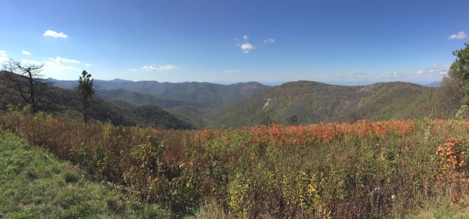 ChallengingBrown Mountain and Rocky Mountain Run Loop9.7 mi · 6.5 hr · At the trailheadA full-day loop with quartzite ledges above Big Run.
 ModerateRocky Mountain via Brown Mountain Trail3.5 mi · 3.5 hr · At the trailheadA rocky ledge and wide Blue Ridge view after a steep climb.
 ModerateOnemile Run Trail1.8 mi · 2 hr · 0.5 mi awayA steep descent to Onemile Run, then climb back.
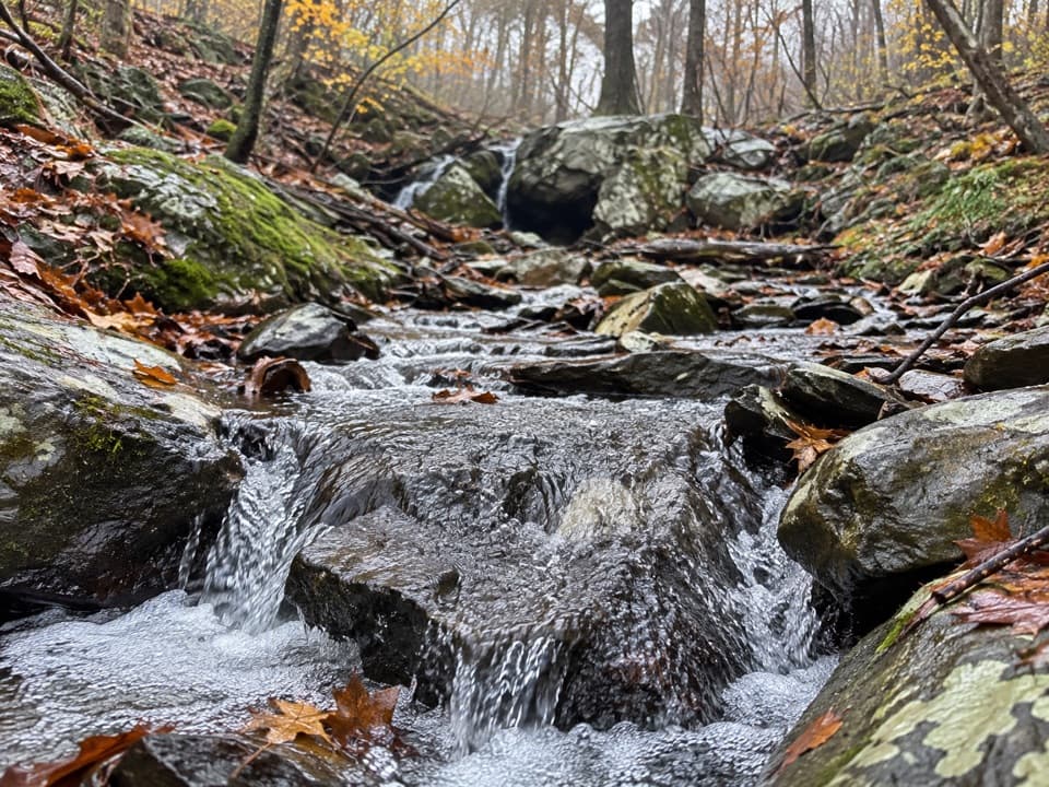 ModerateIvy Creek via the Appalachian Trail2.8 mi · 2 hr · 0.6 mi awayA rocky descent to a shaded creek; the return is the workout.
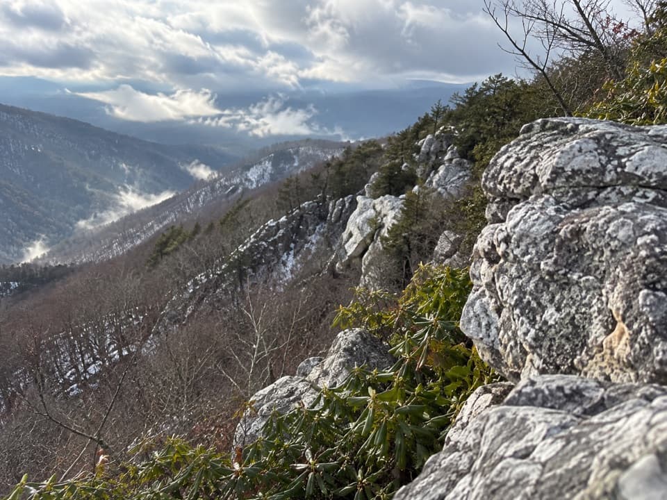 ModerateRocky Mount6.6 mi · 4.5 hr · 0.7 mi awayAn outcrop view after a steep drop and a tough climb back.
 ChallengingRocky Mount and Gap Run Loop10 mi · 7 hr · 0.9 mi awaySteep ridge miles, a rocky summit, and a quieter stream return.
 ChallengingPatterson Ridge Trail6.2 mi · 4.5 hr · 2 mi awayA strenuous ridge out-and-back with a long climb from Big Run.
 ModerateLoft Mountain Loop2.1 mi · 1.8 hr · 2.1 mi awayFrazier rocks, Appalachian Trail views, and a fire-road return loop.
 Scenic pullout · At the trailheadBrown Mountain OverlookA long roadside view over Big Run and the Blue Ridge.
 Scenic pullout · 0.6 mi awayIvy Creek OverlookWeaver, Loft, and Flattop line up across this quick roadside stop.
 Scenic pullout · 0.6 mi awayTwo Mile Run OverlookWhite quartzite and a fire-shaped forest, steps from Skyline Drive.
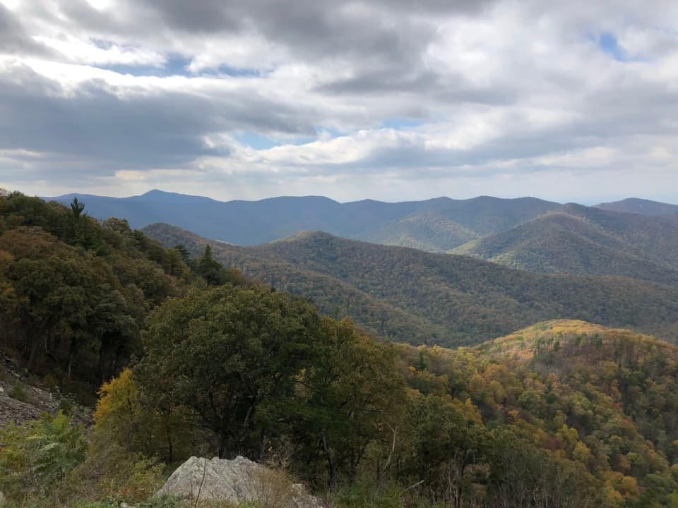 Sight · 1 mi awayRockytop OverlookA quick pull-off with a wide view across the southern Blue Ridge.
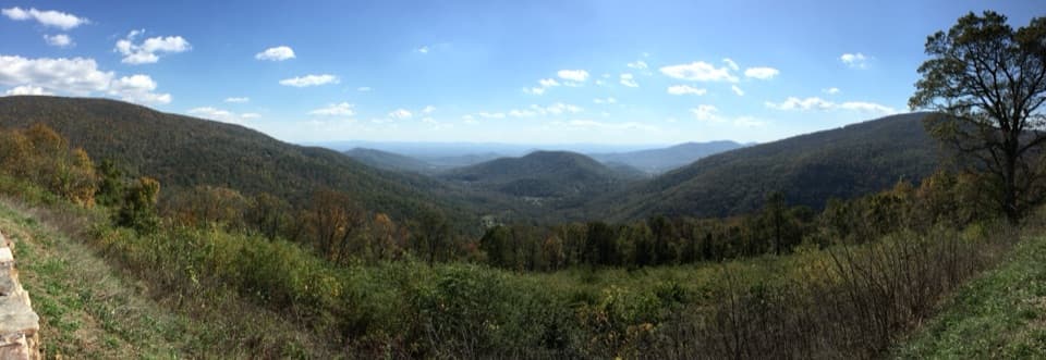 Scenic pullout · 1.6 mi awayLoft Mountain OverlookCounty Line Mountain anchors a long southeast view into the Piedmont
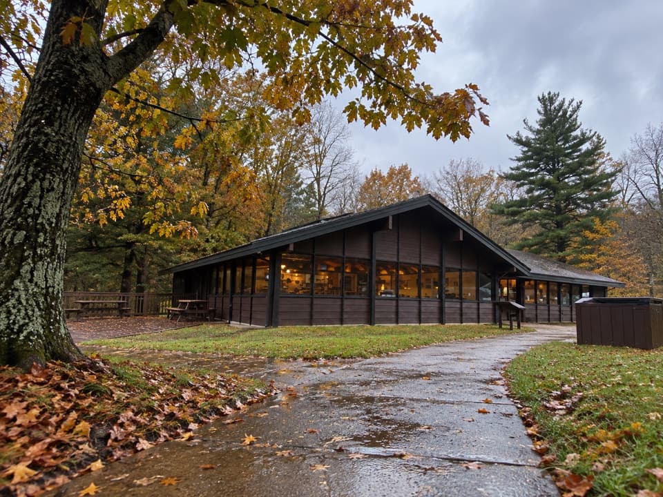 Food · 2.1 mi awayLoft Mountain WaysideA practical mile-79.5 break for shakes, souvenirs and picnic tables.
 Scenic pullout · 2.5 mi awayBeldor Hollow OverlookA quick mile-72.2 stop for split views of hollow and ridge.
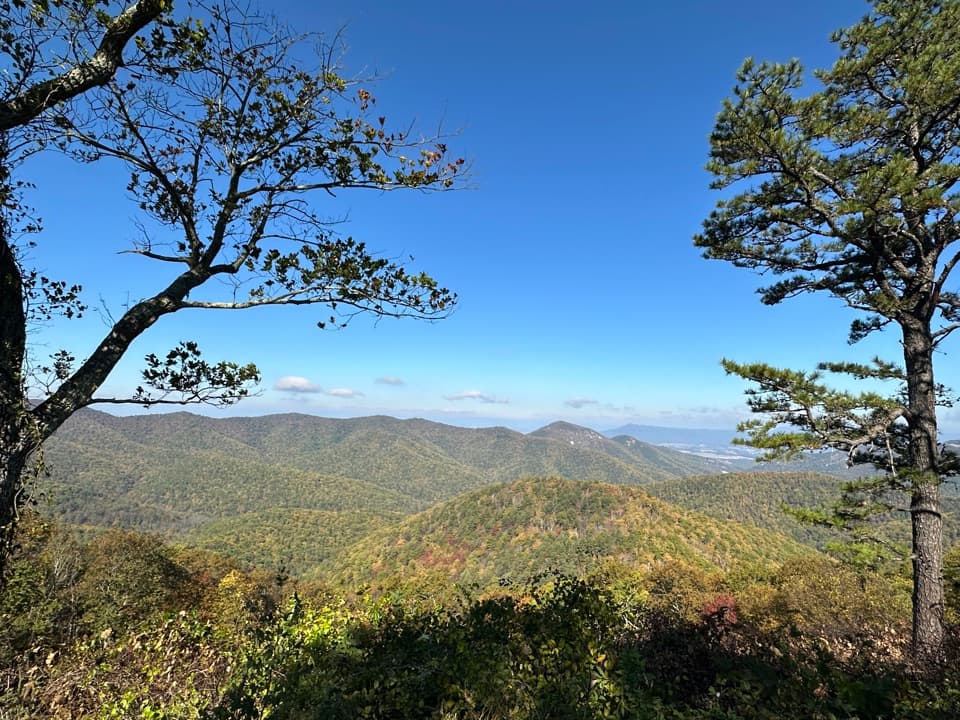 Scenic pullout · 3 mi awayBig Run OverlookA Skyline Drive overlook with a public seasonal photo station.
Parkwolf’s Shenandoah ranking

The audio tour guide for the drive, plus offline maps, trails, and wildlife heatmaps for when the signal drops.





