Parking
Parking is limited. On Thompson Hollow Road, park only on the right before the No Parking sign and private driveway; never block the drive. Walk the short access road to the park boundary.

Shenandoah National Park, VA
Waterfall views, stream crossings and a wooded ridge keep this loop varied.
Overview
Map & elevation
Plan your hike

The highest, rockiest slopes around here are a summer buffet for grizzly bears.
Shenandoah Tour Guide
Parkwolf is a GPS audio tour guide for Shenandoah National Park. As you drive, it chimes in with what’s ahead: hidden gems, upcoming stops, history, geology, and wildlife, right through your car’s speakers.
See the Shenandoah audio tourRecorded for this trailhead
Thompson Hollow: The Short Walk to the Cascades“You're approaching Thompson Hollow, a good starting point for a shorter hike to Overall Run's low cascades and shaded pools.”
Plays as you drive up to this trailhead in the Parkwolf Shenandoah Tour Guide.
More stories near here in the app
“Fantastic app with many points of information… It’s great to just turn on while you’re driving and it gives you an audio tour of the national Park. We love it!!!!”


Trail guide
Allow about 8.4 miles and five to six hours. From Thompson Hollow, the route follows the hollow to Overall Run, climbs to waterfall views, then returns on Mathews Arm and Beecher Ridge. The mapped loop includes the short road walk between parking and the park boundary.
Thompson Hollow and Overall Run have rough, sometimes muddy footing, exposed roots and rocks, and several stream crossings. A sustained climb reaches falls viewpoints. Overall Run Falls drops 93 feet, but flow can dwindle after dry weather. Wet rock is slick; stay on marked paths and skip off-trail scrambling.
A short gentler stretch on Mathews Arm leads to the wooded Beecher Ridge descent. Brush can narrow parts of the trail. The connector rejoins Overall Run for a final streamside section before the road walk back to the parking area.
Park only on the right side of Thompson Hollow Road before the No Parking sign and private driveway; do not block the drive. Walk the short access road to the park boundary. The entrance fee applies even when hiking in from the boundary. There is no food service or potable tap water on the route; treat stream water. Dogs may use these trails on a physical leash no longer than six feet.
Wildlife
 325 sightingsBlack BearMost seen around 6 AMSighting map
 21 sightingsBald EagleMost seen around 10 AMSighting map
 1,036 sightingsWhite-tailed DeerMost seen around 7 PMSighting map
 167 sightingsWild TurkeyMost seen around 7 AMSighting map
 93 sightingsTimber RattlesnakeMost seen around 6 PMSighting map
 24 sightingsCoyoteMost seen around 6 AMSighting map
Sighting maps show where each species has been reported across Shenandoah. Wildlife moves, so no sighting is guaranteed.
Keep exploring
 EasyThompson Hollow to Overall Run Cascades2.2 mi · 1.3 hr · At the trailheadA short wooded out-and-back to Overall Run’s small cascades and pools.
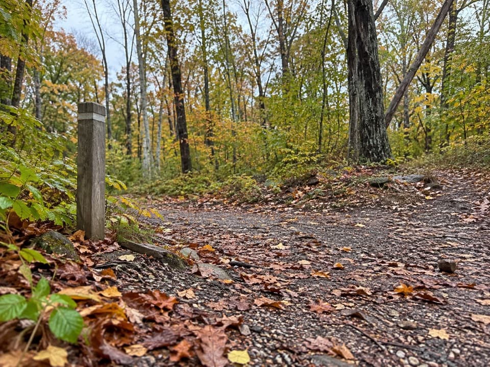 EasyTraces Trail1.7 mi · 1.3 hr · 3 mi awayStone walls and a river view on an easy campground loop.
 ModerateOverall Run Falls5.1 mi · 4 hr · 3 mi awayThe gorge view still pays off when the falls run low.ChallengingOverall Run Falls and Piney Branch Loop22.3 mi · 18 hr · 3.3 mi awayThree-day backcountry loop past Overall Run Falls and Piney Branch.ChallengingOverall Run Falls and Heiskell Hollow Loop15.6 mi · 13 hr · 3.3 mi awayA three-day backcountry loop linking waterfalls and Heiskell Hollow.ChallengingOverall Run, Piney Branch & Jeremys Run Loop34.2 mi · 1 day · 3.3 mi awayFour hiking days link a 93-foot waterfall and three wilderness streams.
 ChallengingTuscarora Trail through Shenandoah8 mi · 6 hr · 3.3 mi awayAn eight-mile one-way traverse past Overall Run’s gorge and falls.
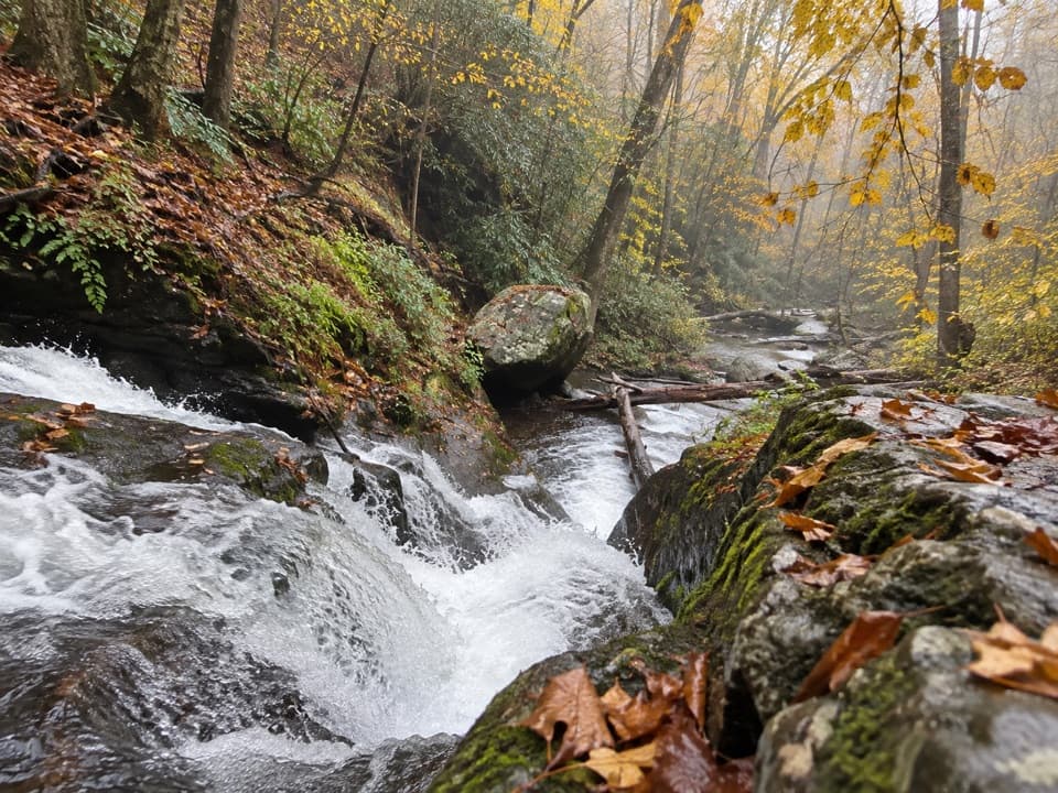 ChallengingPiney Branch and Piney Ridge Loop10 mi · 8 hr · 3.7 mi awayWalk Piney Branch’s cascades before climbing the wooded Piney Ridge.Sight · 1.7 mi awayOverall Run FallsA long hike earns Shenandoah's highest falls and a wide gorge view.
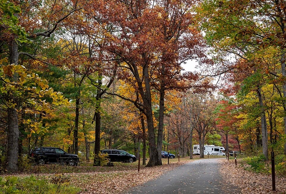 Campground · 2.8 mi awayMathews Arm CampgroundWooded campsites, an easy loop, and no showers or hookups.
 Sight · 3.3 mi awayHogback OverlookLayered ridges lead north toward the Alleghenies on clear days.
 Sight · 3.7 mi awayPiney River CCC BuildingA modest CCC office tied to Shenandoah’s early park design
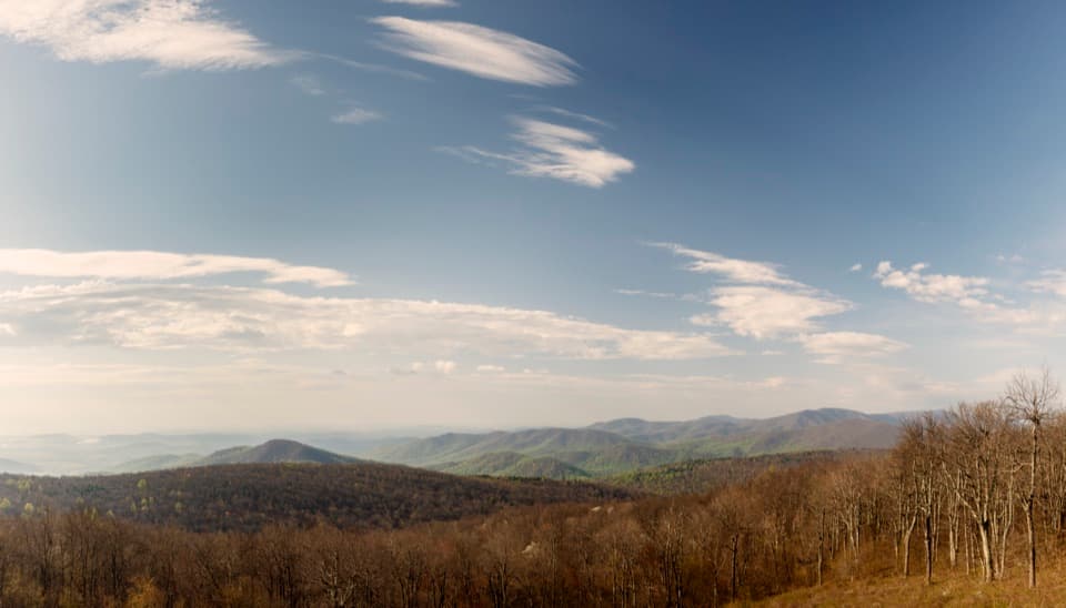 Scenic pullout · 3.7 mi awayRattlesnake Point OverlookPick out six Blue Ridge peaks from a meadow-framed roadside view.
 Scenic pullout · 4 mi awayLittle Devils Stairs OverlookA quick pause for the steep gorge and layered ridges
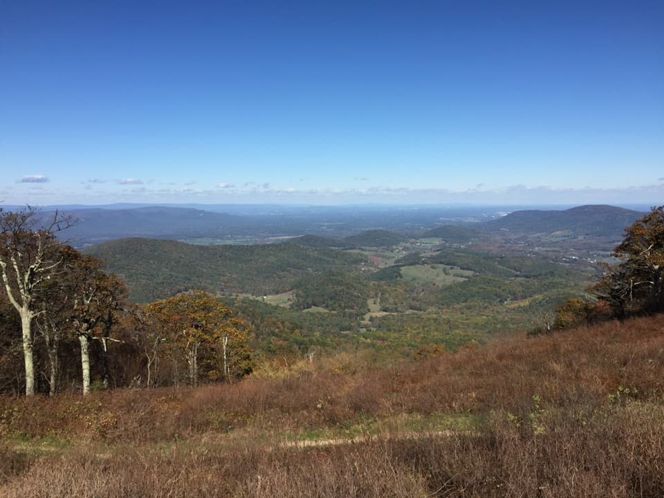 Scenic pullout · 4.1 mi awayLittle Hogback OverlookA small roadside view of Browntown Valley and the Appalachian Trail.
 Lodging · 4.2 mi awayRange View CabinA hike-in cabin with a signed stone from 1933.
Parkwolf’s Shenandoah ranking

The audio tour guide for the drive, plus offline maps, trails, and wildlife heatmaps for when the signal drops.





