Parking
Park at Beahms Gap Overlook on Skyline Drive at mile 28.5. The route begins across the retaining rail at the concrete trail-marker post and returns to the same overlook along Skyline Drive. Park entrance fee required; lot capacity not found.

Shenandoah National Park, VA
A short climb to a day-use shelter and back by fire road
Overview
Map & elevation
Plan your hike

The highest, rockiest slopes around here are a summer buffet for grizzly bears.
Shenandoah Tour Guide
Parkwolf is a GPS audio tour guide for Shenandoah National Park. As you drive, it chimes in with what’s ahead: hidden gems, upcoming stops, history, geology, and wildlife, right through your car’s speakers.
See the Shenandoah audio tourRecorded for this area
Thornton Hollow Overlook: The Eastward View“You're approaching Thornton Hollow Overlook, a broad east-facing view into the wooded valley. Facing the panorama, Mount Marshall is on the left and Oventop Mountain farther right.”
Plays on the road 0.8 mi from the trailhead in the Parkwolf Shenandoah Tour Guide.
More stories near here in the app
“Fantastic app with many points of information… It’s great to just turn on while you’re driving and it gives you an audio tour of the national Park. We love it!!!!”


Trail guide
Byrd's Nest #4 Loop is a 2.5-mile circuit from Beahms Gap Overlook to a stone day-use shelter and back. It follows a short connector to the Appalachian Trail, then the Neighbor Mountain Trail uphill to Byrd's Nest #4. The return drops on the Byrd's Nest #4 fire road and follows Skyline Drive back to the overlook. Allow about an hour and a half; the climb makes this a moderate hike rather than a flat leg-stretcher.
At the overlook, cross the retaining rail at the concrete trail-marker post and take the short, gently descending spur to the AT. Follow the AT north to the Neighbor Mountain junction, then turn onto Neighbor Mountain Trail and climb to a clearing. The stone shelter is for day use, not overnight stays. Its view is partly screened, so come for the shelter and a picnic break rather than a wide panorama.
Take the grassy path in front of the shelter downhill. It soon widens into the rough Hull School fire road and reaches Skyline Drive; follow the drive south to the overlook. The grassy link is the easiest part to miss, so have an offline map ready before leaving the shelter.
Beahms Gap Overlook is on Skyline Drive at mile 28.5. The park charges an entrance fee to drive in. Leashed dogs are allowed on this route; use a physical leash no longer than six feet.
Wildlife
 325 sightingsBlack BearMost seen around 6 AMSighting map
 21 sightingsBald EagleMost seen around 10 AMSighting map
 1,036 sightingsWhite-tailed DeerMost seen around 7 PMSighting map
 167 sightingsWild TurkeyMost seen around 7 AMSighting map
 93 sightingsTimber RattlesnakeMost seen around 6 PMSighting map
 24 sightingsCoyoteMost seen around 6 AMSighting map
Sighting maps show where each species has been reported across Shenandoah. Wildlife moves, so no sighting is guaranteed.
Keep exploring
 ChallengingHull School and Thornton River Loop7.9 mi · 7 hr · 1.1 mi awayA backcountry river loop with falls, stone walls, and a long climb.
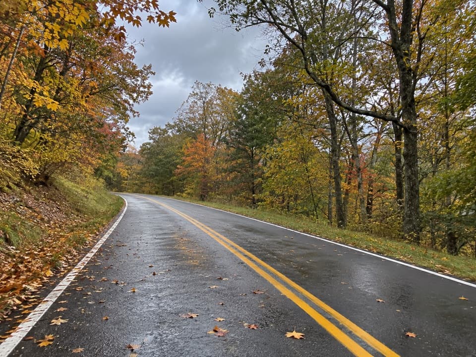 ModerateUpper Thornton River Trail6.3 mi · 5 hr · 1.8 mi awayA steep descent on the former Thornton Hollow fire road.
 ModerateDouble Bear Rocks Hike8.3 mi · 5.5 hr · 2.5 mi awayA long ridgeline walk ends at a rocky western overlook.
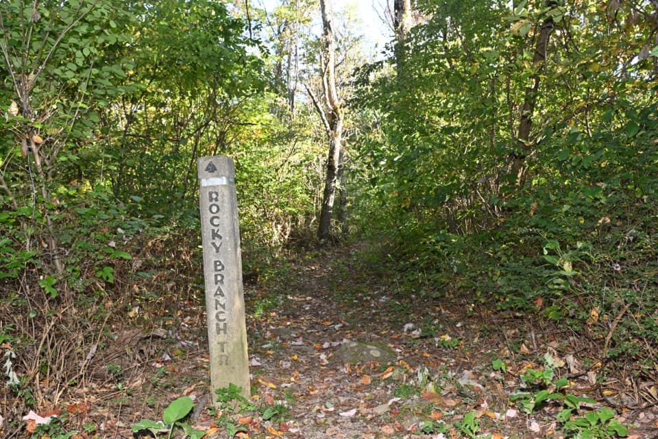 ChallengingPass Mountain and Piney Ridge Loop22.9 mi · 16 hr · 2.5 mi awayTwo-day, 22.9-mile backcountry loop via Piney Ridge and the AT.
 ChallengingPass Mountain & Jeremys Run Loop22.4 mi · 16 hr · 2.5 mi awayA 22.4-mile loop links the AT, Neighbor Mountain and Jeremys Run.
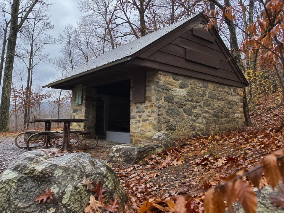 ModeratePass Mountain Loop3.4 mi · 2.5 hr · 2.5 mi awayA moderate loop to an Appalachian Trail shelter through open woods.
 ModerateMarys Rock Summit Trail3.7 mi · 3.5 hr · 2.5 mi awayA rocky climb from Panorama earns a big west-facing view.
 ChallengingNeighbor Mountain and Jeremys Run Loop14 mi · 10 hr · 3 mi awayA long ridge-to-stream loop with fourteen crossings to plan around
 Scenic pullout · At the trailheadBeahms Gap OverlookA quick orientation stop with its mountain view across the road.
 Scenic pullout · 0.8 mi awayThornton Hollow OverlookA broad east-facing panorama into Thornton Hollow.
 Scenic pullout · 1.3 mi awayJeremys Run OverlookA tight west-facing valley view worth timing for sunset.
 Sight · 1.6 mi awayPass Mountain OverlookA west-facing stop over Kemp Hollow and Luray.
 Entrance station · 2.3 mi awayThornton Gap EntranceA staffed Route 211 gate to the Blue Ridge’s 105-mile road.
 Sight · 2.4 mi awayPanoramaA handy Skyline Drive stop for water, restrooms, and park information.
 Sight · 2.9 mi awayMarys Rock TunnelCheck the 12-foot-8 ceiling before this 1932 drive-through.
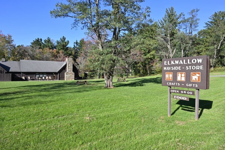 Food · 3.1 mi awayElkwallow WaysideA practical Skyline Drive stop for smash burgers and camping supplies.
Parkwolf’s Shenandoah ranking

The audio tour guide for the drive, plus offline maps, trails, and wildlife heatmaps for when the signal drops.




