Deer Lake Access in Sleeping Bear Dunes National Lakeshore

Sight · Sleeping Bear Dunes National Lakeshore

Deer Lake Access

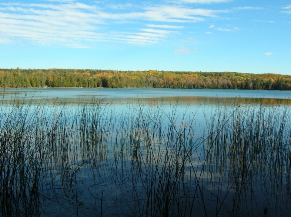
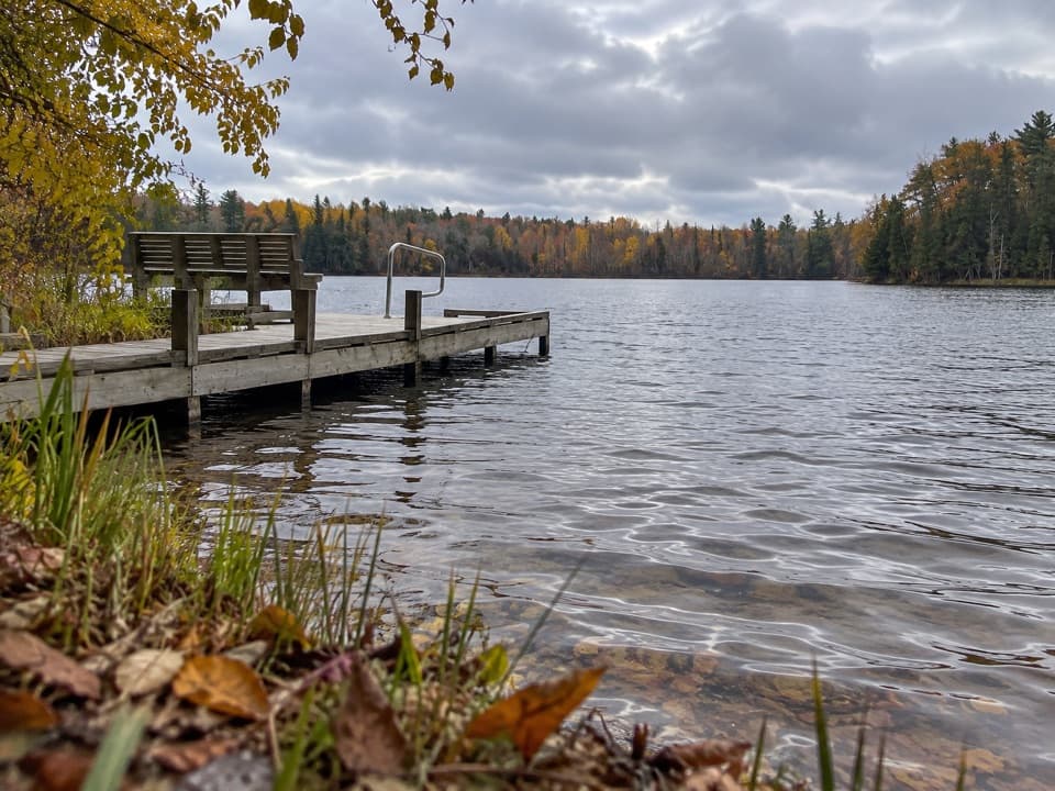
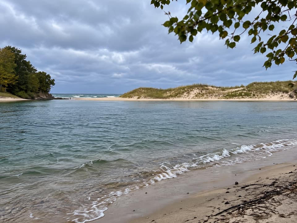
A small spring-fed lake reached by a narrow, rutted track.

Photo: National Park Service
Type
Sight
Nearest trail
0.4 mi
Audio stories
3 nearby

Hear the audio tour

Bass Lake South Access: Dock or Woodland Loop

Overview

About Deer Lake Access

Why stop

  • Spring-fed water with a wooded, wetland shoreline

Heads up

  • The approach uses a narrow, rutted two-track

Map

Where it is

Loading the Sleeping Bear Dunes map
Full map
SightDeer Lake Access44.73162, -86.06297
Keep this map with you offline in the Parkwolf app

Plan your stop

Before you go

1 active Sleeping Bear Dunes alert

  • ClosureManitou Islands access closures during 2026 constructionNorth and South Manitou Islands have limited visitor access throughout the 2026 season: all facilities, docks, and utilities on both islands remain closed during major construction.Official details
Sleeping Bear Dunes alerts
A park ranger sits on a dash-mounted phone, talking, as Parkwolf’s Tour Guide plays “Army Cutworm Moths: A Grizzly Bear Buffet” on Grand Loop Road below Dunraven Pass in Yellowstone
Parkwolf Tour GuideThe highest, rockiest slopes around here are a summer buffet for grizzly bears.

Sleeping Bear Dunes Tour Guide

Your drive to Deer Lake Access, narrated.

Parkwolf is a GPS audio tour guide for Sleeping Bear Dunes National Lakeshore. As you drive, it chimes in with what’s ahead: hidden gems, upcoming stops, history, geology, and wildlife, right through your car’s speakers.

Recorded for this place

Bass Lake South Access: Dock or Woodland Loop
0:00 / 0:30
“You're approaching the access to Bass Lake's south shore, with parking at the end of Trails End Road. For a short, quiet stop, follow the paved path to the fishing dock and take a seat overlooking the water.”

Plays as you drive up to Deer Lake Access in the Parkwolf Sleeping Bear Dunes Tour Guide.

More stories near here in the app

  • A Butterfly Journey Across Generations
  • How Pacific Salmon Reached the Platte
  • Peterson Beach: A Quieter Shore
  • Esch Beach: Otter Creek and Traces of Aral
  • 73 audio storiesacross Sleeping Bear Dunes’s roads, triggered by GPS as you drive
  • Wildlife heatmapsfor Piping Plover, Bald Eagle, White-tailed Deer, and 13 more
  • Works offlinemaps, 34 trails, 89 places, and audio download before you lose signal
  • CarPlay readysimple controls built for the drive
★★★★★
“Fantastic app with many points of information… It’s great to just turn on while you’re driving and it gives you an audio tour of the national Park. We love it!!!!”
JMJamesApp Store review
Download Parkwolf on the App StoreGet Parkwolf on Google Play

4.7 from 8,600+ ratings

Guide

More about Deer Lake Access

A quieter lake stopDeer Lake Access leads to a very small, spring-fed lake at the head of the Otter Creek…

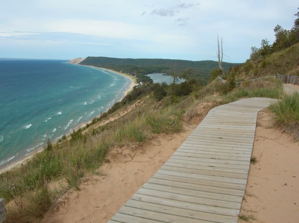
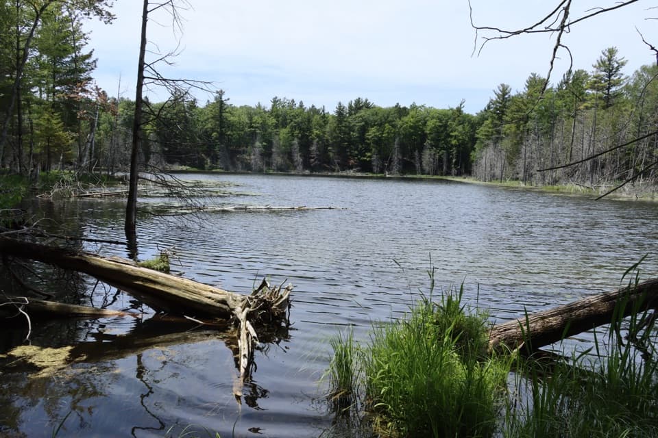
Deer Lake Access leads to a very small, spring-fed lake at the head of the Otter Creek watershed. It is a low-key inland-water detour, not a dune overlook or Lake Michigan beach. Wetland borders the north and south shores; hardwoods line the east and west, with white cedar around the water.

Water, fish and birdsThe lake averages 12 feet deep and reaches 22 feet.

The lake averages 12 feet deep and reaches 22 feet. Eleven fish species have been collected here, including northern pike, largemouth bass, bluegill and yellow perch; bluegill make up most of the fish in the lake. Ducks and ducklings, songbirds and the occasional fish breaking the surface are among the wildlife visitors may notice.

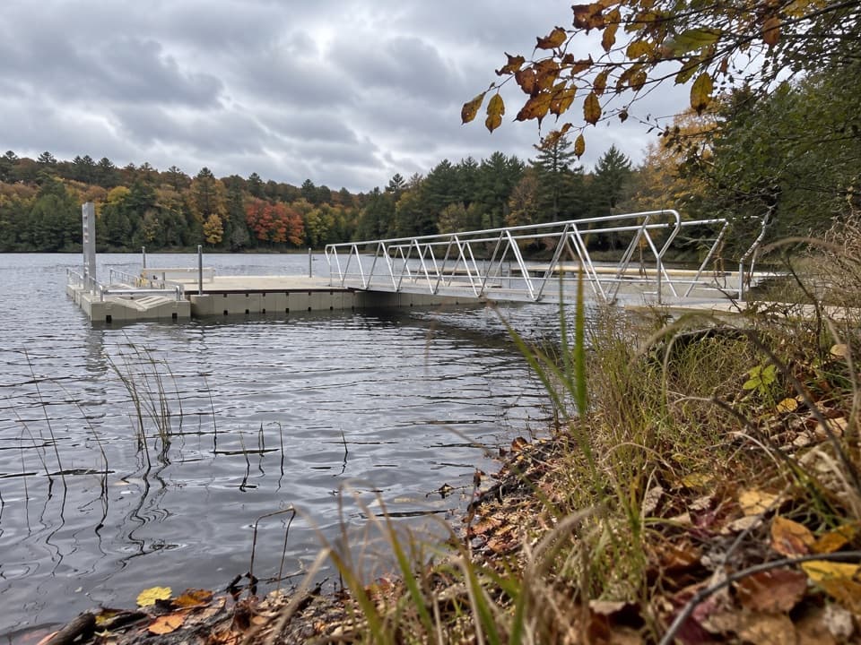
For a photo, include the fallen trunks and reeds at the water's edge with the tree-lined shore behind them. That foreground shows the lake's small, wooded setting better than a frame filled only with water.

Follow the narrow approachFrom Trails End Road, take the left turn onto a narrow, rutted two-track, then walk a short…

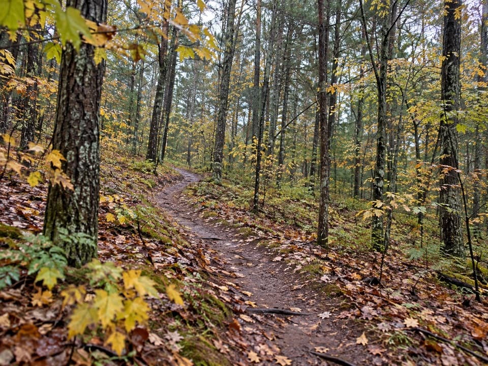
From Trails End Road, take the left turn onto a narrow, rutted two-track, then walk a short distance to the lake. Parking layout, toilets and potable water are not established, so plan for a self-contained stop; no food service is listed at the access. A park pass is required for inland-lake use. Power-driven boats are prohibited from April 1 through October 31; outside that period, motors are limited to two horsepower. Clean, drain and dry boats and gear after use.

Wildlife

Wildlife in Sleeping Bear Dunes

All Sleeping Bear Dunes wildlife maps

Sighting maps show where each species has been reported across Sleeping Bear Dunes. Wildlife moves, so no sighting is guaranteed.

Parkwolf’s Sleeping Bear Dunes ranking

Top sights in Sleeping Bear Dunes

All 89 places
  1. 1Dune ClimbSight
  2. 2Lake Michigan OverlookSight
  3. 3Pyramid Point OverlookSight
  4. 4Empire Bluff OverlookSight
  5. 5South Manitou Lighthouse ComplexSight
  6. 6North Bar BeachBeach

Take Parkwolf to Sleeping Bear Dunes.

The audio tour guide for the drive, plus offline maps, trails, and wildlife heatmaps for when the signal drops.

4.7 from 8,600+ ratings

Download Parkwolf on the App StoreGet Parkwolf on Google Play