Parking
Start at the end of Cowan Street in Franz Josef/Waiau. No named lot, parking capacity or fee was verified in the sources checked.
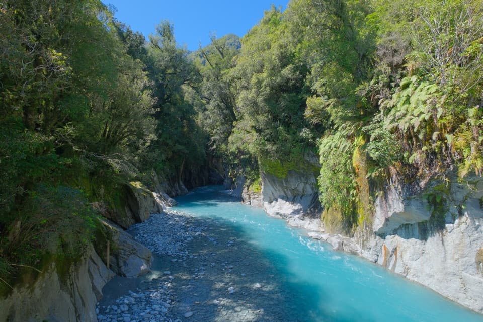
Westland Tai Poutini National Park, WC
A rainforest walk to a historic bridge above Callery Gorge
Overview
Map & elevation
Plan your hike

The highest, rockiest slopes around here are a summer buffet for grizzly bears.
Westland Tai Poutini Tour Guide
Parkwolf is a GPS audio tour guide for Westland Tai Poutini National Park. As you drive, it chimes in with what’s ahead: hidden gems, upcoming stops, history, geology, and wildlife, right through your car’s speakers.
See the Westland Tai Poutini audio tourRecorded for this trailhead
Cowan Street Walks: Callery Gorge“You're approaching Cowan Street, the starting point for the walk to Callery Gorge. Choose this for a forest outing of about an hour and a half return, with the historic bridge and narrow gorge at the far end.”
Plays as you drive up to this trailhead in the Parkwolf Westland Tai Poutini Tour Guide.
More stories near here in the app
“Fantastic app with many points of information… It’s great to just turn on while you’re driving and it gives you an audio tour of the national Park. We love it!!!!”


Trail guide
Callery Gorge Walk is a 3.2-mile (5.2 km) return out-and-back from the end of Cowan Street in Franz Josef/Waiau to the historic bridge over Callery Gorge. It climbs gently out of town, then winds through rainforest beside an old gold-mining water race. Allow about 1½ hours, a little more if you stop at the river. The gorge is the main payoff; most of the walk is a quiet forest approach.
The first five minutes share a gentle climb with the Tatare Tunnels Walk, rising to a high terrace behind town past water pipes and tanks. Follow the Callery Gorge route from there; it narrows through the rainforest and tracks the old water race. The walk ends at the bridge and returns the same way, so the descent near the end becomes the climb back out. Dogs aren't allowed.
The water race and scattered rusty relics are among the last visible reminders of the area’s gold-mining era. It gives the forest stretch a bit of history beyond simply reaching the gorge.
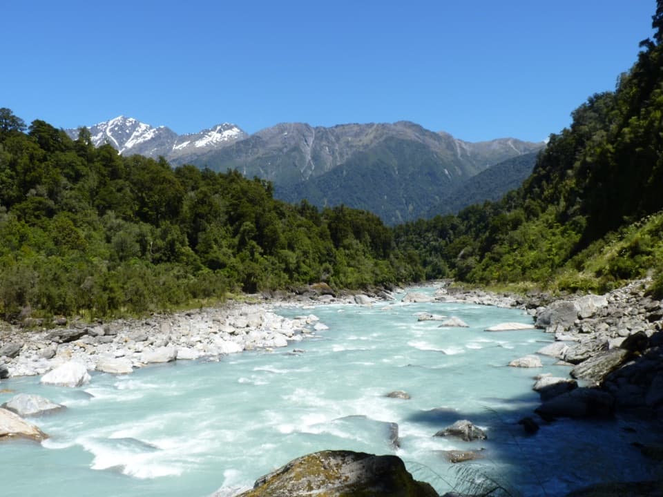
The historic bridge is the turnaround, with a close view into the narrow gorge and the Callery River. Gravel deposits have raised the riverbed and changed the gorge's older profile. Take a moment on the bridge: the river is the reason to keep going through the mostly forested approach. A few visitors report sandflies near the water, so insect repellent can be useful.
Wildlife
 89 sightingsKeaMost seen around 10 AMSighting map
 10 sightingsBlue DuckMost seen around 5 PMSighting map
 80 sightingsKererūMost seen around 7 AMSighting map
 38 sightingsTūīMost seen around 5 AMSighting map
 10 sightingsNew Zealand FalconMost seen around 10 AMSighting map
 28 sightingsYellow-crowned ParakeetMost seen around 8 AMSighting map
Sighting maps show where each species has been reported across Westland Tai Poutini. Wildlife moves, so no sighting is guaranteed.
Keep exploring
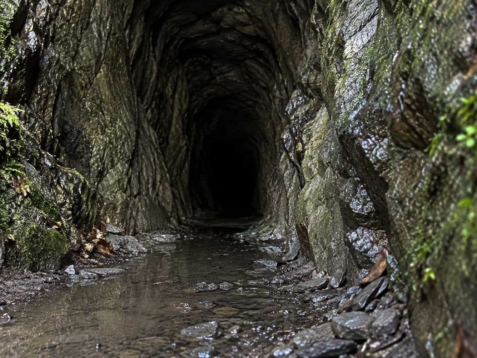 ModerateTatare Tunnels Walk4.4 km · 1.5 hr · At the trailheadA short forest walk to a damp, hand-cut mining tunnel.
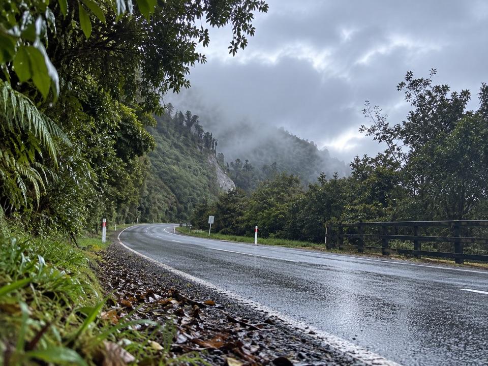 ModerateTe Ara a Waiau Walkway/Cycleway8.7 km · 2 hr · 0.4 km awayShared walk and cycleway from Franz Josef to the glacier car park
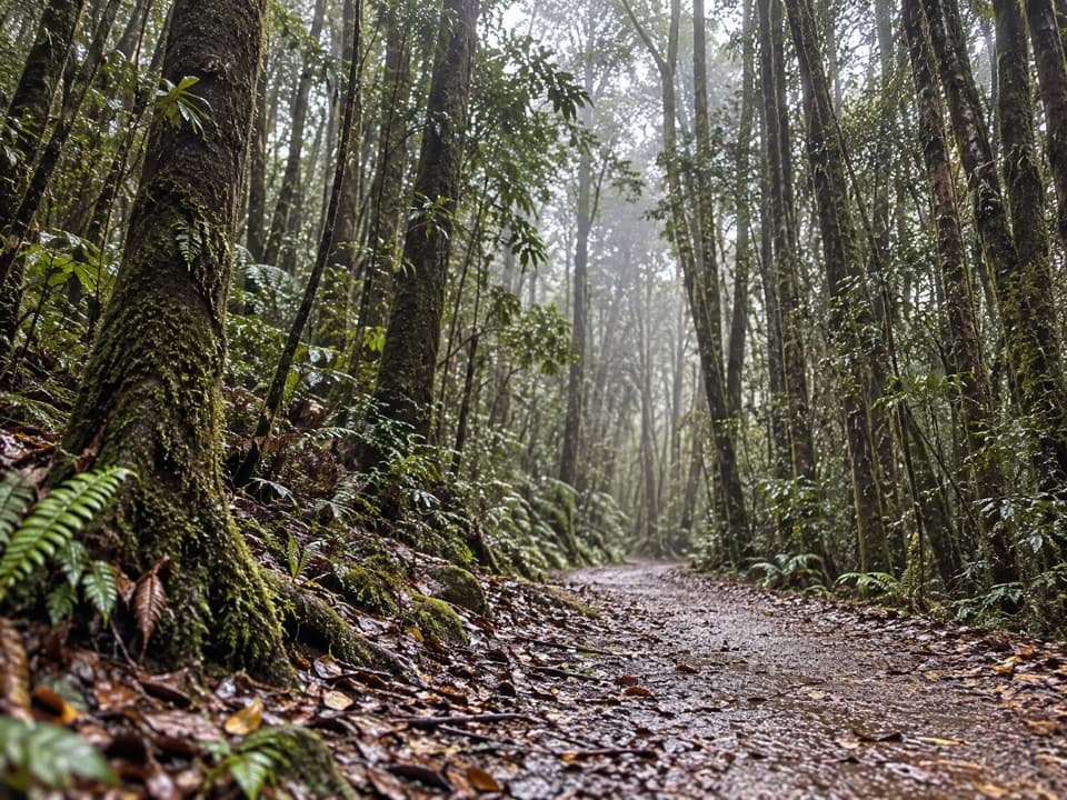 EasyTerrace Walk1 km · 30 min · 0.6 km awayA short rainforest path with glowworms around fallen trees after dark.
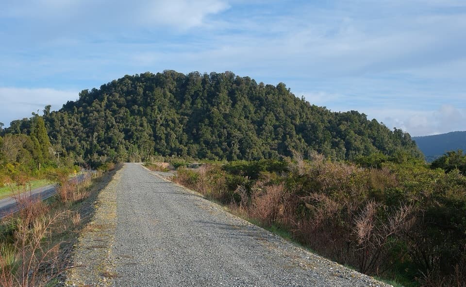 ModerateCanavans Knob Walk3.2 km · 1.3 hr · 1.2 km awayA riverside start leads to a steep climb and two-sided views.
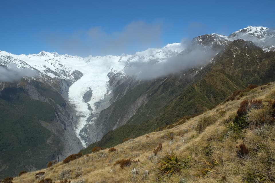 ChallengingAlex Knob Track17.2 km · 8 hr · 2.8 km awayEarn glacier, Alps and Tasman Sea views on a long climb
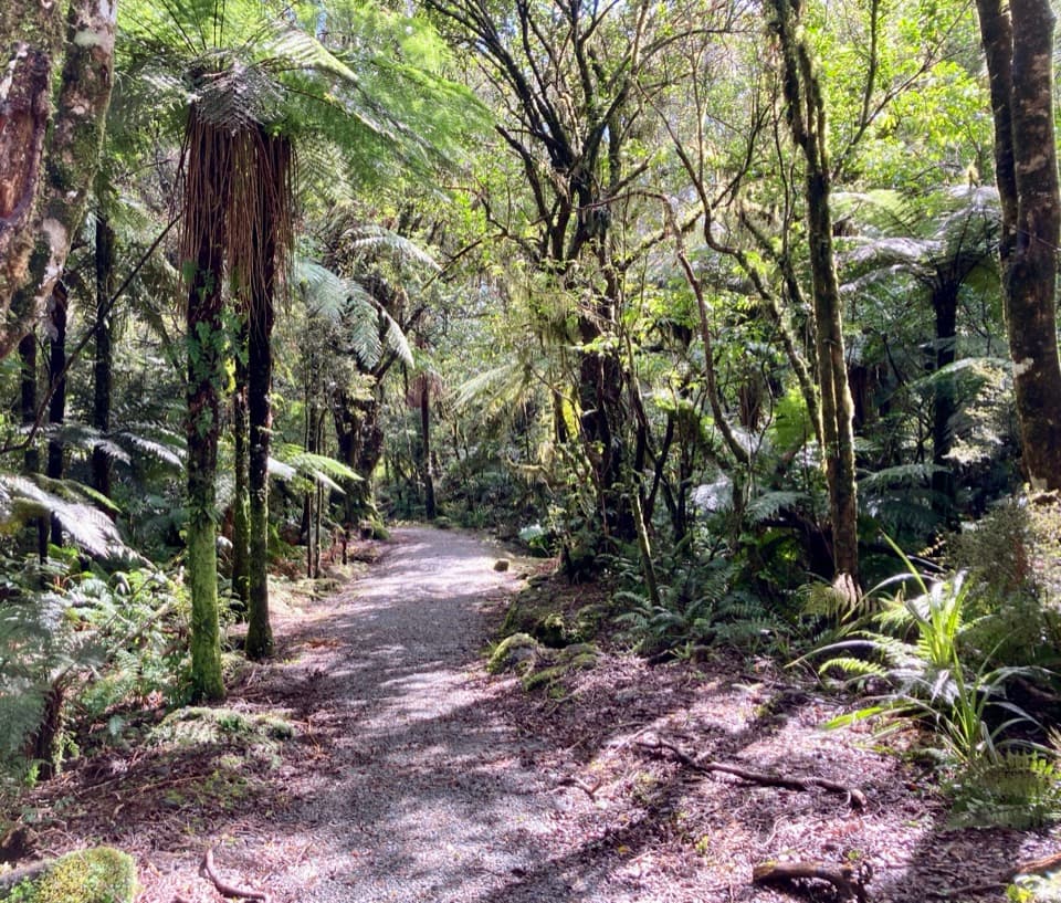 EasyLake Wombat Walk3.8 km · 1.5 hr · 2.8 km awayA steady forest climb to a quiet kettle lake.
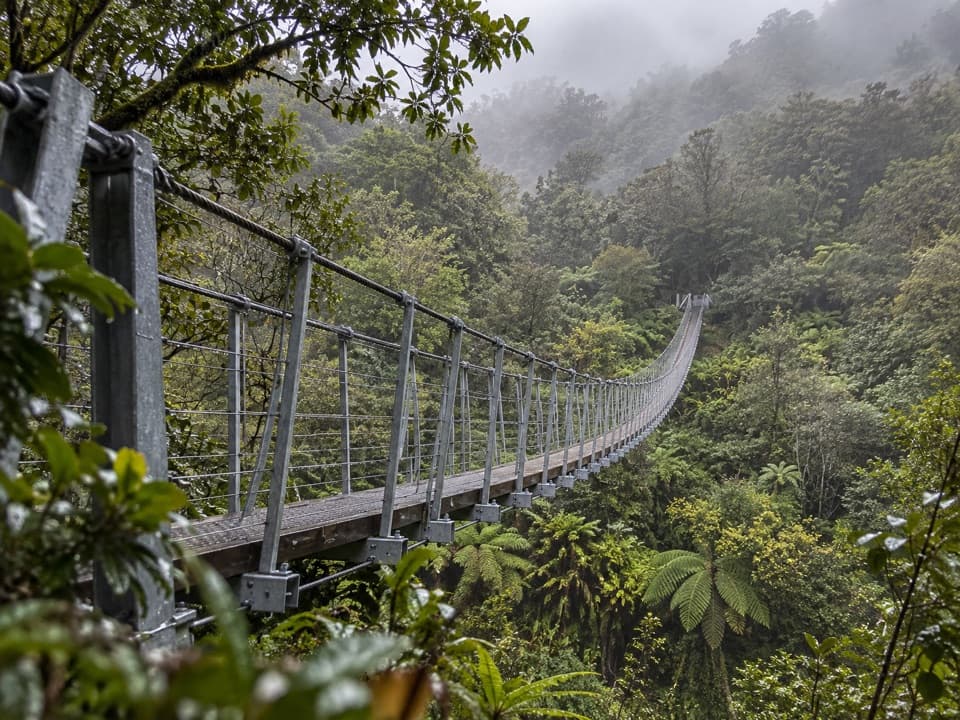 ChallengingRoberts Point Track12.3 km · 5.3 hr · 4 km awayA rough valley climb to a high view of Franz Josef Glacier.
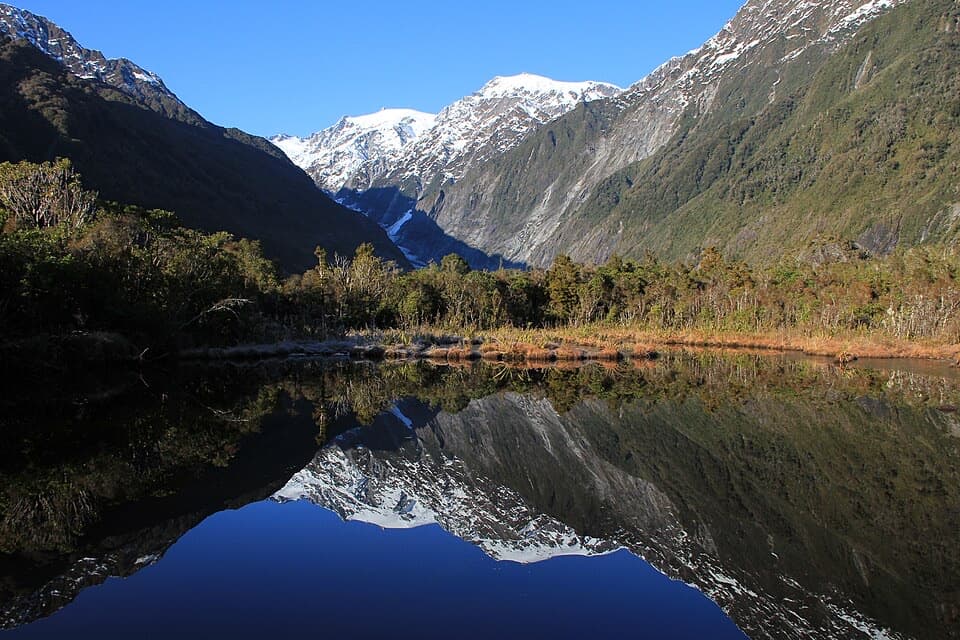 EasyPeters Pool Walk1.1 km · 30 min · 4 km awayA short, level forest walk to Peters Pool’s mountain reflections.
 Sight · 0.1 km awayWest Coast Wildlife CentreSee rowi up close at the centre that helps hatch them.
 Sight · 0.4 km awayWaiho Hot TubsA private, wood-fired soak among Franz Josef’s ferns.
 Visitor center · 0.4 km awayWestland Tai Poutini National Park Visitor CentreGet local track and weather advice before heading into the glacier valleys.
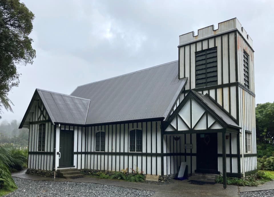 Sight · 0.5 km awaySt James ChurchA small church whose altar view landed on a 1946 peace stamp.Sight · 1.4 km awayCallery Gorge BridgeA rainforest walk to a 29-metre bridge over Callery Gorge.
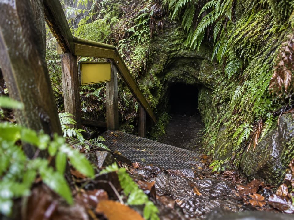 Sight · 1.7 km awayTatare TunnelsA water tunnel with mining history and glowworms in the dark.
 Sight · 2 km awayCanavans KnobA short rainforest climb to glacier views from a granite knob.
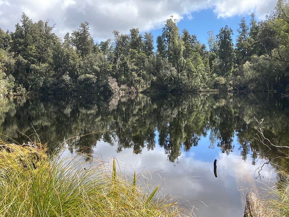 Sight · 2.2 km awayLake WombatQuiet rimu forest leads to a small, still kettle lake.
Parkwolf’s Westland Tai Poutini ranking

The audio tour guide for the drive, plus offline maps, trails, and wildlife heatmaps for when the signal drops.