Parking
Turn right into the signposted DOC car park about 1.2 km south of Franz Josef/Waiau. Watch for the entrance sign as you approach.
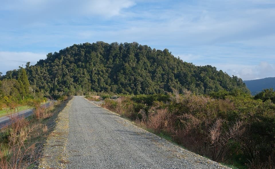
Westland Tai Poutini National Park, WC
A riverside start leads to a steep climb and two-sided views.
Overview
Map & elevation
Plan your hike

The highest, rockiest slopes around here are a summer buffet for grizzly bears.
Westland Tai Poutini Tour Guide
Parkwolf is a GPS audio tour guide for Westland Tai Poutini National Park. As you drive, it chimes in with what’s ahead: hidden gems, upcoming stops, history, geology, and wildlife, right through your car’s speakers.
See the Westland Tai Poutini audio tourRecorded for this trailhead
Canavans Knob: Two Views from a Granite Hill“The Canavans Knob trailhead is coming up, for a short but steep rainforest climb. Allow an hour to an hour and a half return from the car park.”
Plays as you drive up to this trailhead in the Parkwolf Westland Tai Poutini Tour Guide.
More stories near here in the app
“Fantastic app with many points of information… It’s great to just turn on while you’re driving and it gives you an audio tour of the national Park. We love it!!!!”


Trail guide
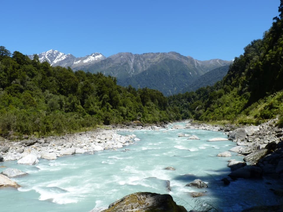
Canavans Knob Walk is a 3.2 km (about 2 mi) out-and-back from the signposted car park south of Franz Josef/Waiau, returning along the same track. Allow about 1–1.5 hours. The first 800 m follows the Waiho River stop bank before a steady, steep climb through rainforest to a granite outcrop. It is a compact way to add a hill walk, but the short distance does not mean a flat stroll.
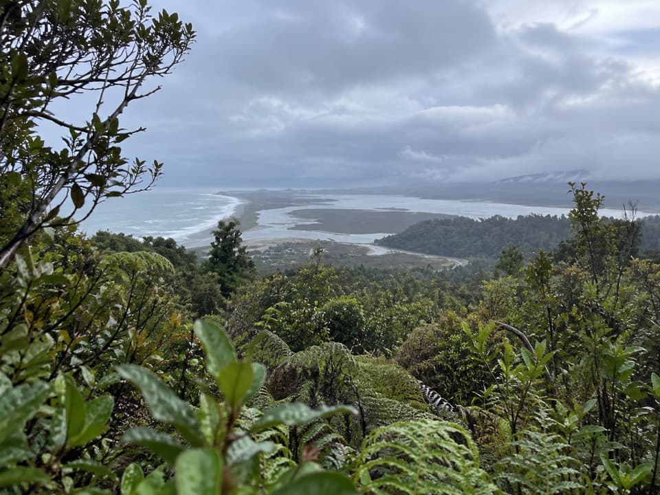
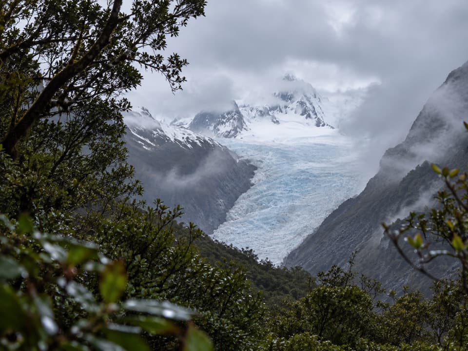
The opening stop-bank stretch is easy walking beside the Waiho. The route then leaves the bank and climbs through bush; visitors describe the upper path as steep and close in places. At the knob, turn both ways: one outlook faces the sea and lowlands, while the other looks up the river toward Franz Josef Glacier and the Southern Alps. The glacier view can be partly screened by vegetation, and cloud can hide the alpine backdrop. If the views matter to you, check visibility before choosing this climb.
The knob is granite, much older than the schist across the Alpine Fault in the glacier valley. That older rock survived the glacier ice that scoured the valley about 9,000 years ago. From the top, the change in rock tells a story you can see across the landscape.
Canavans Knob takes its name from Richard Canavan, an Okarito businessman during the gold rush. In 1872, Canavan walked past Franz Josef with Sir William Fox, then New Zealand’s premier.
The car park is about 1.2 km south of Franz Josef/Waiau. Starting from town instead adds the Waiho bridge and a marked stop-bank connector, including a creek crossing; that longer outing is 6.3 km return and about 1 hour 40 minutes. The DOC trail page prohibits dogs. Carry water, insect repellent and sun protection, and bring warm or waterproof layers because the weather can change quickly.
Wildlife
 89 sightingsKeaMost seen around 10 AMSighting map
 10 sightingsBlue DuckMost seen around 5 PMSighting map
 80 sightingsKererūMost seen around 7 AMSighting map
 38 sightingsTūīMost seen around 5 AMSighting map
 10 sightingsNew Zealand FalconMost seen around 10 AMSighting map
 28 sightingsYellow-crowned ParakeetMost seen around 8 AMSighting map
Sighting maps show where each species has been reported across Westland Tai Poutini. Wildlife moves, so no sighting is guaranteed.
Keep exploring
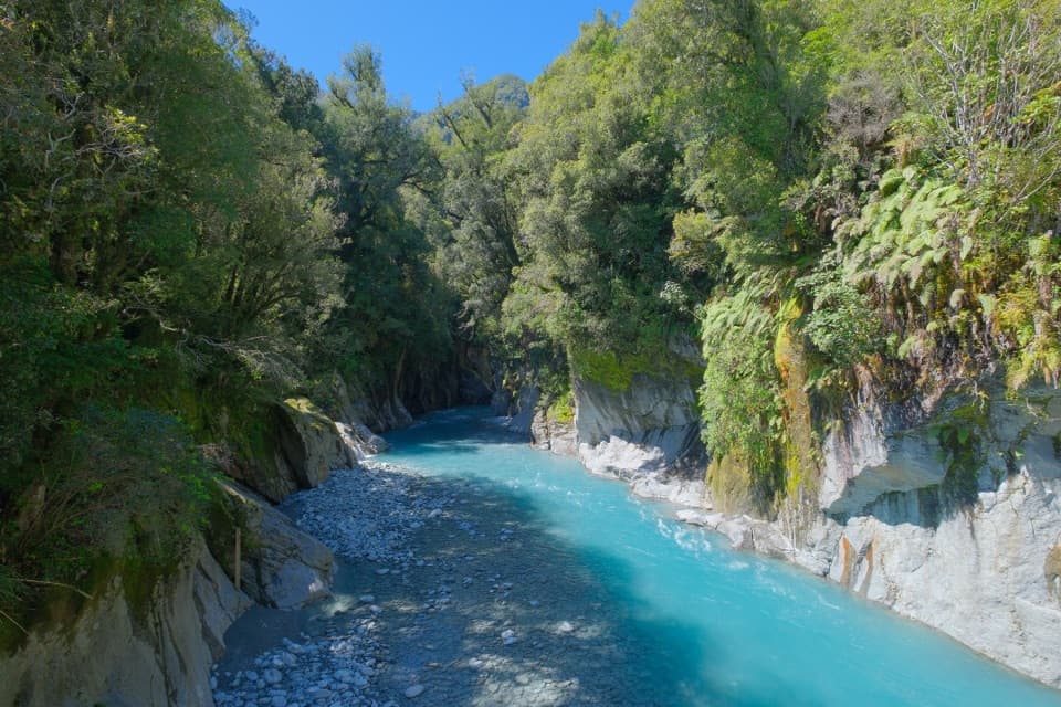 ModerateCallery Gorge Walk5.2 km · 1.5 hr · 1.2 km awayA rainforest walk to a historic bridge above Callery Gorge
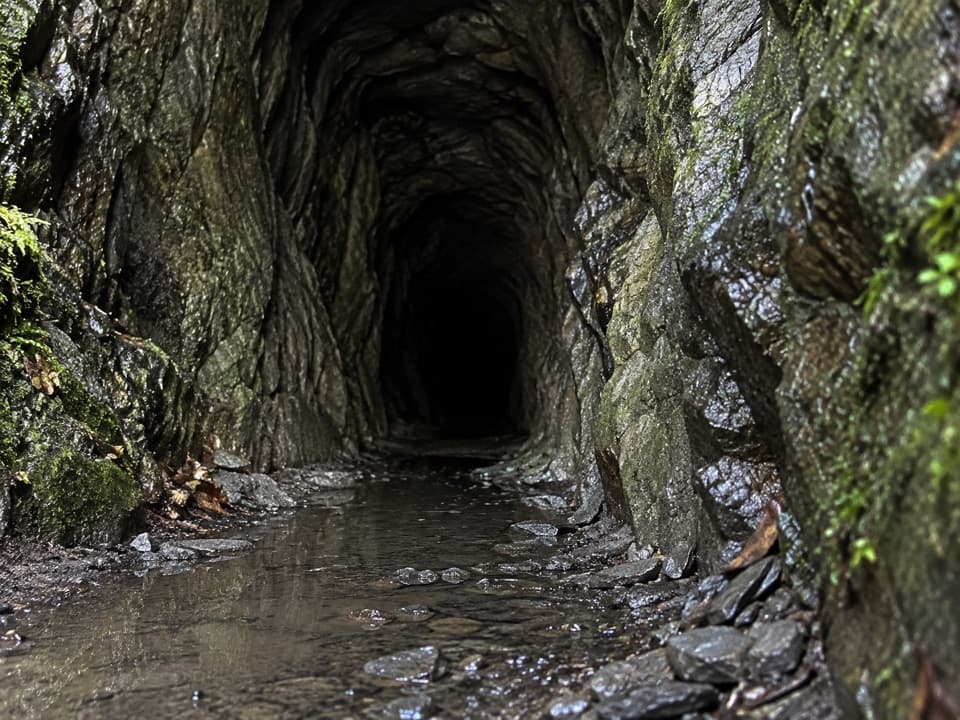 ModerateTatare Tunnels Walk4.4 km · 1.5 hr · 1.2 km awayA short forest walk to a damp, hand-cut mining tunnel.
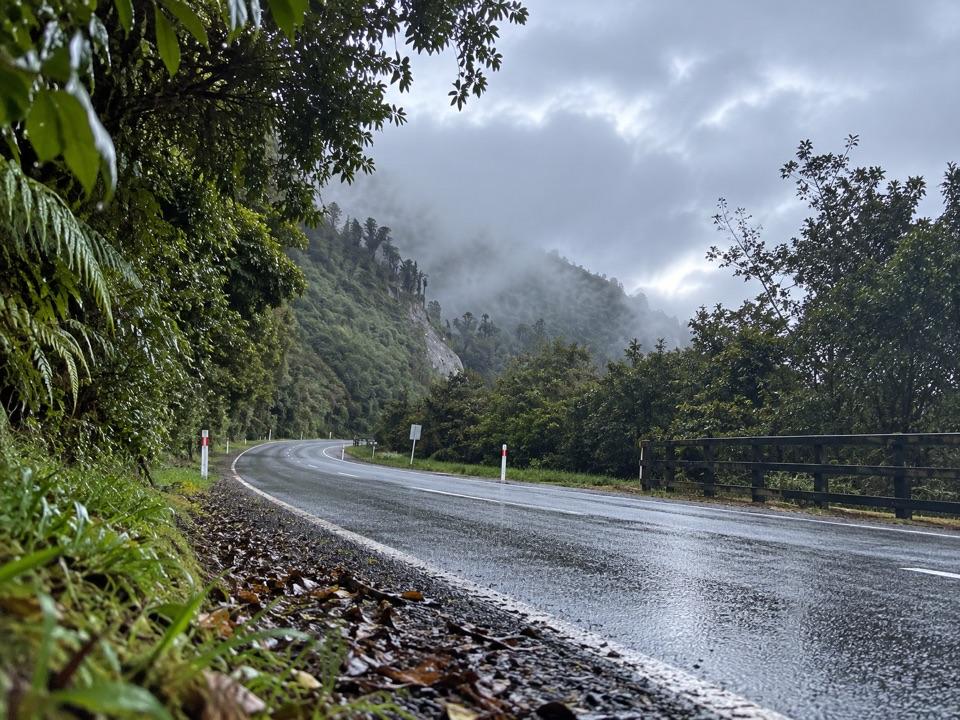 ModerateTe Ara a Waiau Walkway/Cycleway8.7 km · 2 hr · 1.3 km awayShared walk and cycleway from Franz Josef to the glacier car park
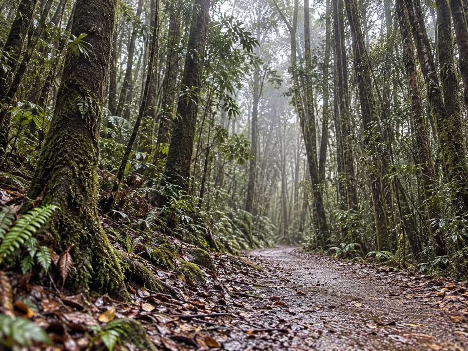 EasyTerrace Walk1 km · 30 min · 1.4 km awayA short rainforest path with glowworms around fallen trees after dark.
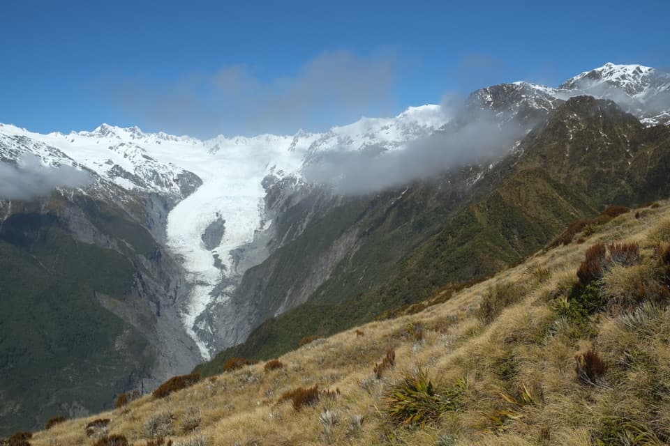 ChallengingAlex Knob Track17.2 km · 8 hr · 2.7 km awayEarn glacier, Alps and Tasman Sea views on a long climb
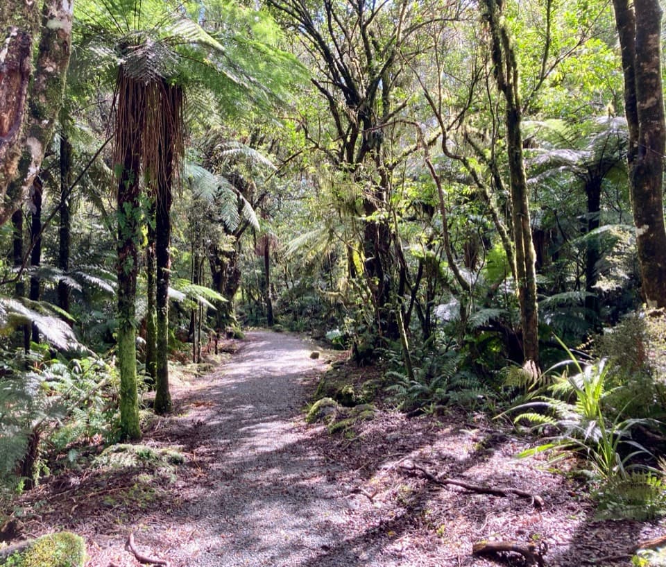 EasyLake Wombat Walk3.8 km · 1.5 hr · 2.7 km awayA steady forest climb to a quiet kettle lake.
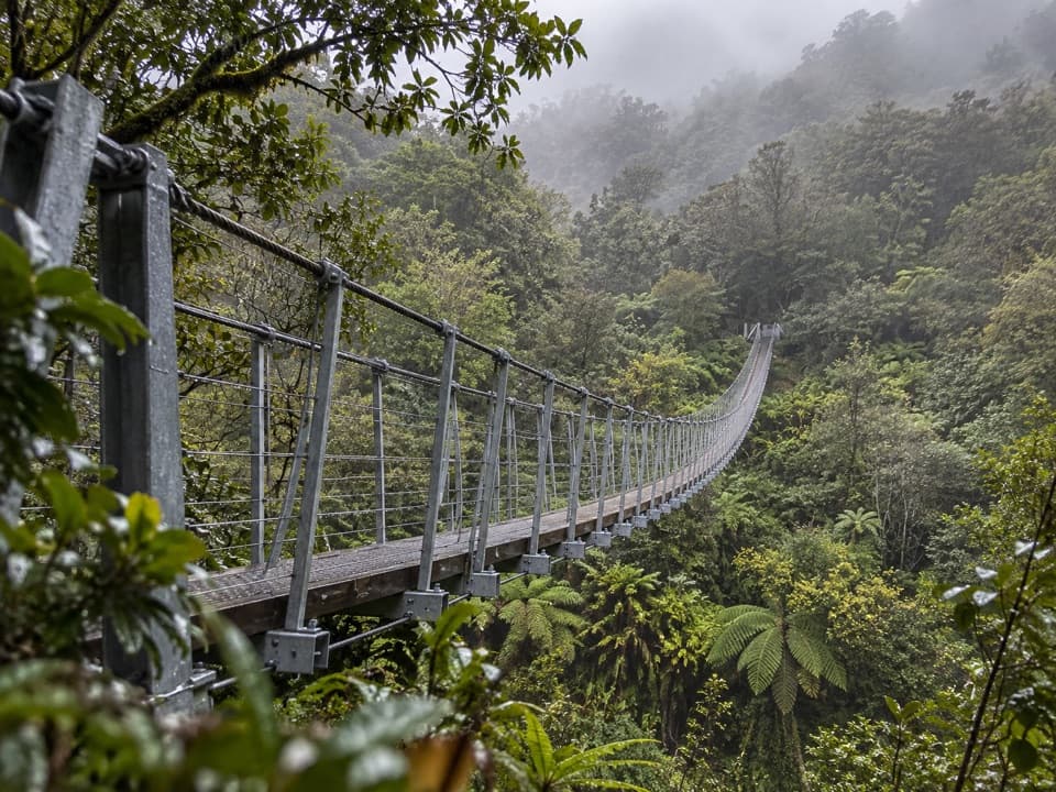 ChallengingRoberts Point Track12.3 km · 5.3 hr · 3.7 km awayA rough valley climb to a high view of Franz Josef Glacier.
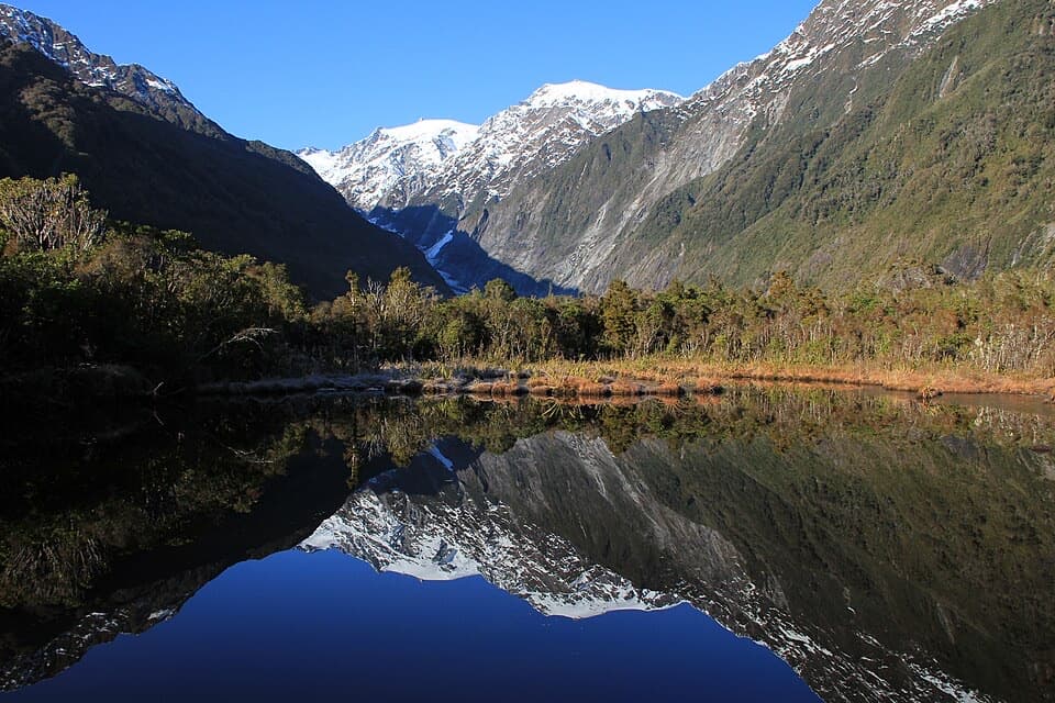 EasyPeters Pool Walk1.1 km · 30 min · 3.7 km awayA short, level forest walk to Peters Pool’s mountain reflections.
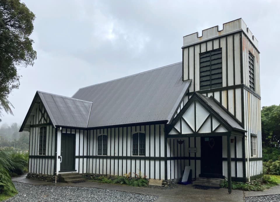 Sight · 1 km awaySt James ChurchA small church whose altar view landed on a 1946 peace stamp.
 Sight · 1 km awayWest Coast Wildlife CentreSee rowi up close at the centre that helps hatch them.
 Sight · 1.1 km awayCanavans KnobA short rainforest climb to glacier views from a granite knob.
 Visitor center · 1.3 km awayWestland Tai Poutini National Park Visitor CentreGet local track and weather advice before heading into the glacier valleys.
 Sight · 1.3 km awayWaiho Hot TubsA private, wood-fired soak among Franz Josef’s ferns.
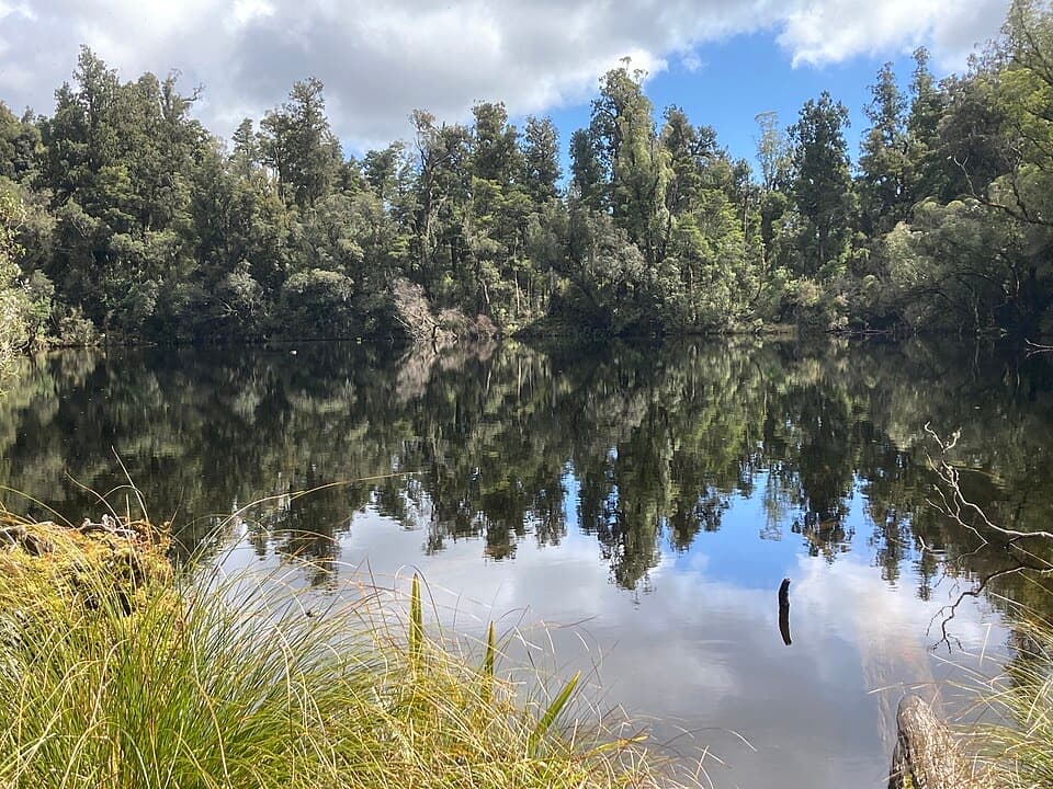 Sight · 1.7 km awayLake WombatQuiet rimu forest leads to a small, still kettle lake.Sight · 1.9 km awayCallery Gorge BridgeA rainforest walk to a 29-metre bridge over Callery Gorge.
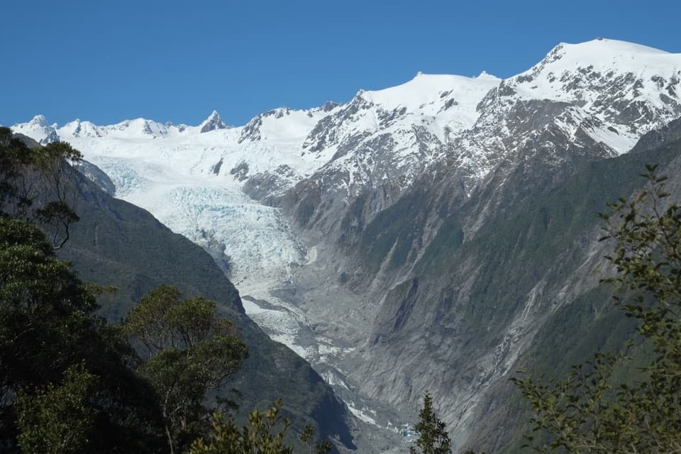 Sight · 2.5 km awayRata LookoutTwo hours uphill earns a first glimpse of Franz Josef Glacier.
Parkwolf’s Westland Tai Poutini ranking

The audio tour guide for the drive, plus offline maps, trails, and wildlife heatmaps for when the signal drops.