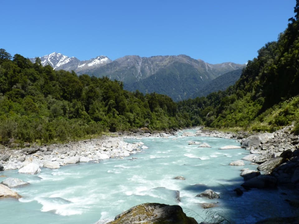
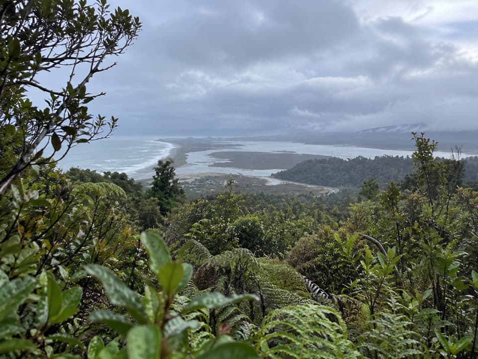
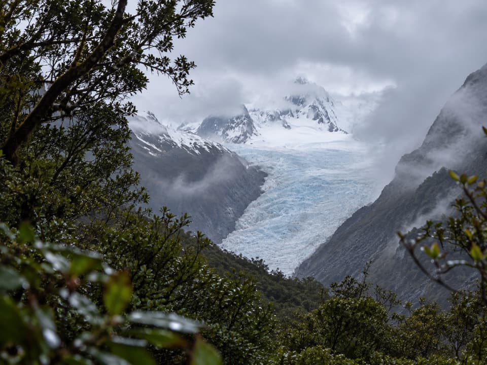
Te Ara a Waiau Walkway/Cycleway in Westland Tai Poutini National Park

Westland Tai Poutini National Park, WC

Te Ara a Waiau Walkway/Cycleway

Shared walk and cycleway from Franz Josef to the glacier car park

Length
8.7km
Time
2hr
Elev. change
91m
Difficulty
Moderate
  • No dogs
  • High point 244 m

Hear the audio tour

Westland Visitor Centre and Waiho Hot Tubs

Overview

About Te Ara a Waiau Walkway/Cycleway

Why go

  • A direct shared route links Franz Josef village with the glacier car park.
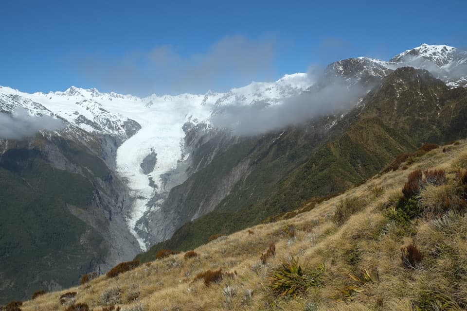
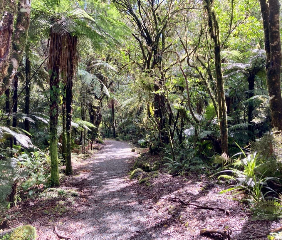
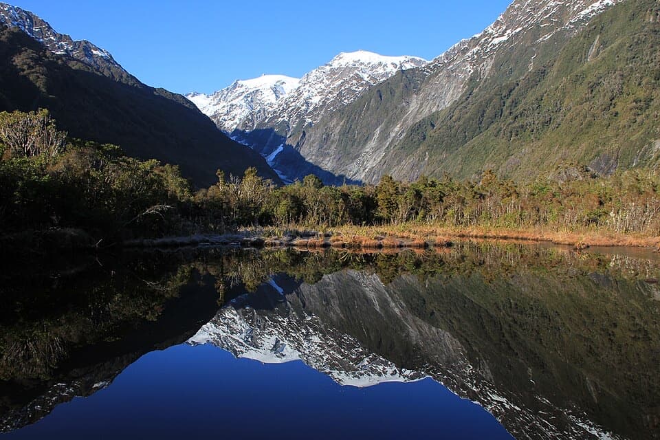
  • The road-side lane gives way to rainforest and intermittent mountain views.

Heads up

  • The opening section runs alongside an access road.
  • Walkers and cyclists share the route, and there is a traffic crossing.

Map & elevation

The route

Loading the Westland Tai Poutini map
Full map
Elevation153–244 m
TrailheadWestland Tai Poutini National Park Visitor Centre-43.38426, 170.18464
Keep this map with you offline in the Parkwolf app

Plan your hike

Before you go

Parking

The described start is on SH6 outside the Westland Tai Poutini National Park Visitor Centre at 69 Cron Street. A specific parking arrangement at the town end was not confirmed. The Franz Josef Glacier car park is at the far end and has paid parking; check current terms if using it.

Safety

Use the marked shared lane beside Glacier Access Road and stay out of vehicle lanes. Yield and cross carefully at Glacier Valley Access Road, and watch for others where the route meets Lake Wombat Walk. Dogs are not allowed.

1 active Westland Tai Poutini alert

  • CautionActive landslide zones on Copland TrackDo not stop in either of Copland Track’s signposted active landslide zones; take extra care during and after heavy rain.Official details
Westland Tai Poutini alerts
A park ranger sits on a dash-mounted phone, talking, as Parkwolf’s Tour Guide plays “Army Cutworm Moths: A Grizzly Bear Buffet” on Grand Loop Road below Dunraven Pass in Yellowstone
Parkwolf Tour GuideThe highest, rockiest slopes around here are a summer buffet for grizzly bears.

Westland Tai Poutini Tour Guide

Your drive to Te Ara a Waiau Walkway/Cycleway, narrated.

Parkwolf is a GPS audio tour guide for Westland Tai Poutini National Park. As you drive, it chimes in with what’s ahead: hidden gems, upcoming stops, history, geology, and wildlife, right through your car’s speakers.

See the Westland Tai Poutini audio tour

Recorded for this trailhead

Westland Visitor Centre and Waiho Hot Tubs
0:00 / 0:32
“You're coming up on the Westland Tai Poutini visitor centre at the north end of Franz Josef. Stop here if you're still choosing a walk, and ask about that specific route and its forecast.”

Plays as you drive up to this trailhead in the Parkwolf Westland Tai Poutini Tour Guide.

More stories near here in the app

  • West Coast Wildlife Centre: Finding the Kiwi
  • Cowan Street Walks: Callery Gorge
  • Terrace Walk: Glowworms Among Fallen Trees
  • St James Church: the Peace Stamp View
  • 49 audio storiesacross Westland Tai Poutini’s roads, triggered by GPS as you drive
  • Wildlife heatmapsfor Kea, Blue Duck, Kererū, and 13 more
  • Works offlinemaps, 31 trails, 53 places, and audio download before you lose signal
  • CarPlay readysimple controls built for the drive
★★★★★
“Fantastic app with many points of information… It’s great to just turn on while you’re driving and it gives you an audio tour of the national Park. We love it!!!!”
JMJamesApp Store review
Download Parkwolf on the App StoreGet Parkwolf on Google Play

4.7 from 8,600+ ratings

Trail guide

Hiking Te Ara a Waiau Walkway/Cycleway

The routeTe Ara a Waiau is an 8.

Te Ara a Waiau is an 8.7 km return shared walk and cycleway from Franz Josef village to the Franz Josef Glacier car park. Allow about two hours on foot; the walking grade is easy to intermediate. The route follows a sealed lane beside Glacier Access Road, leaves it for a short forest section near Rata Grove, crosses Glacier Valley Access Road, then climbs gently through rainforest. Return on the same track. The described access is outside the visitor centre at 69 Cron Street, but the map line begins about 1.1 km straight-line south near Waiho River bridge; the village-side approach is not shown, so use the official access directions rather than treating the mapped start as the trailhead. Check track conditions and the weather forecast before setting out.

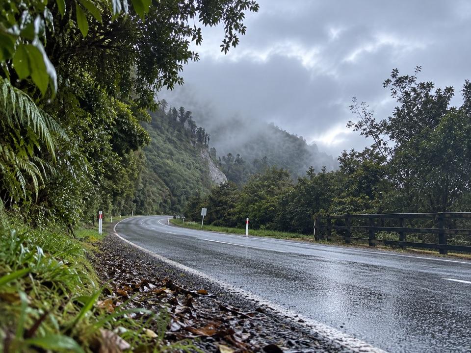
Along Glacier Access RoadThe first roughly 1.

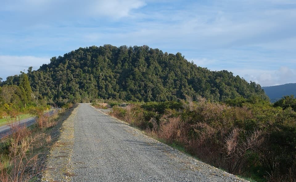
The first roughly 1.7 km uses a sealed lane marked for walkers and cyclists along the left edge of Glacier Access Road. Keep to the shared lane and out of the vehicle lanes. Near Rata Grove, gravel track enters the forest briefly, then returns to cross Glacier Valley Access Road. Give way to traffic at the crossing. The trail meets Lake Wombat Walk shortly after; watch for walkers and cyclists at the junction.

Forest and turnaroundBeyond the crossing, the trail climbs easily through lush rainforest.

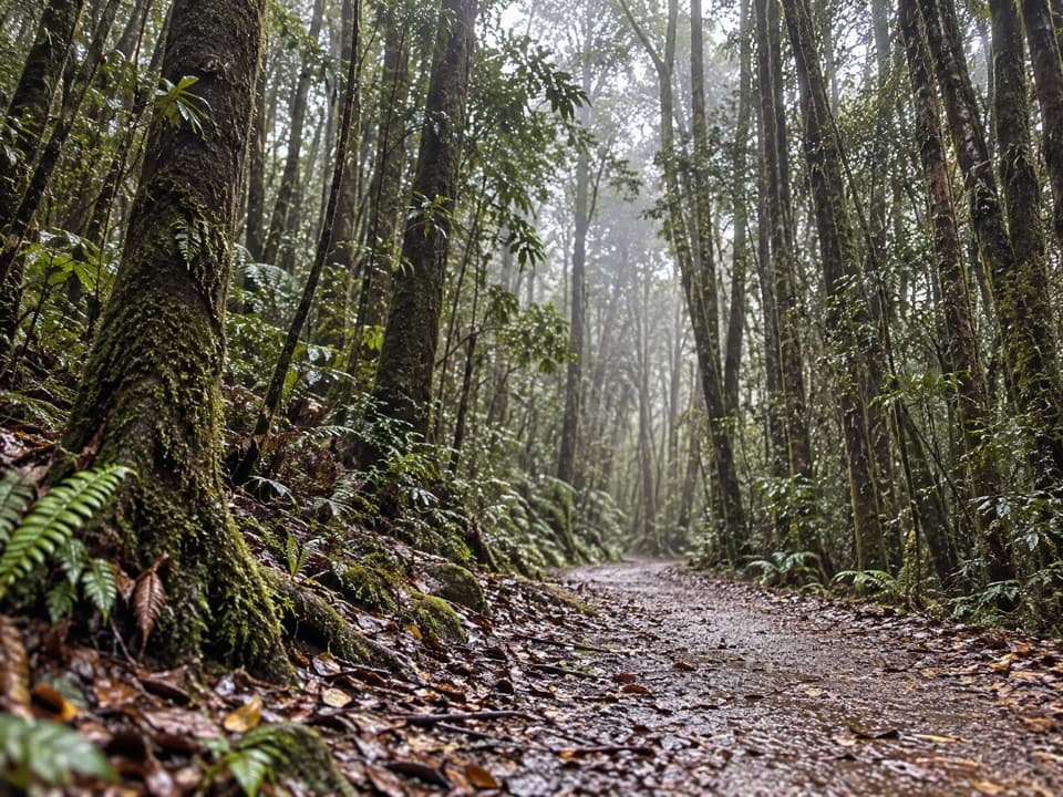
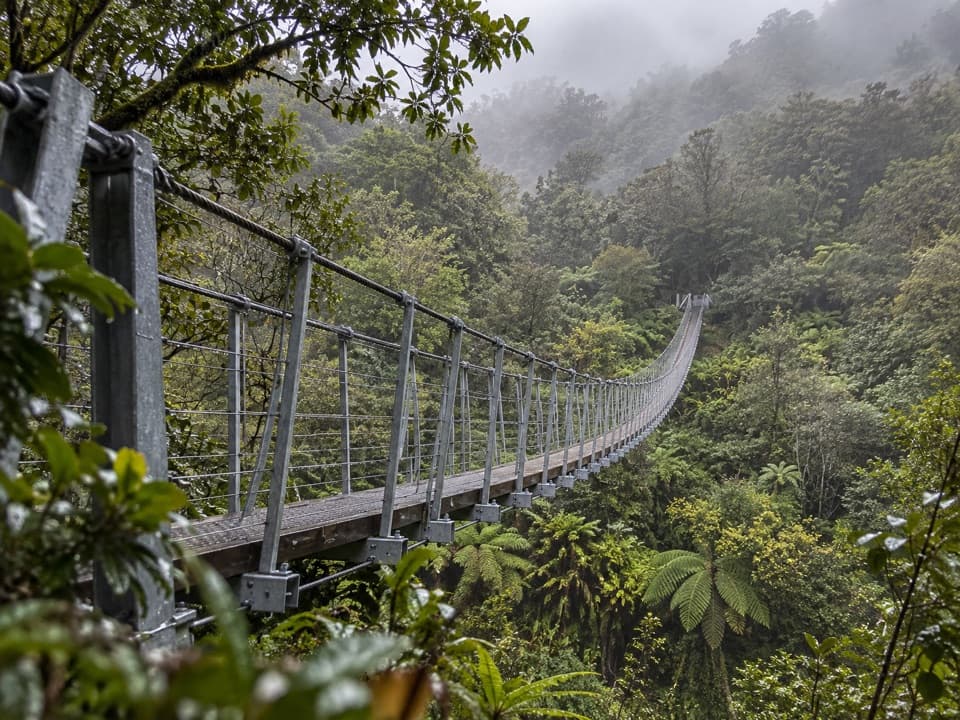
Beyond the crossing, the trail climbs easily through lush rainforest. Birdlife is abundant, though no route-specific species list is documented. Mountain and upper-valley views appear intermittently rather than from a named lookout. The cycle route ends at the bike rack by the glacier car park: leave bikes there, because cycling does not continue onto other local tracks. Dogs are not allowed.

Wildlife

Wildlife in Westland Tai Poutini

All Westland Tai Poutini wildlife maps

Sighting maps show where each species has been reported across Westland Tai Poutini. Wildlife moves, so no sighting is guaranteed.

Keep exploring

Near Te Ara a Waiau Walkway/Cycleway

See it all on the map

Trails that start nearby

Places near the trailhead

Parkwolf’s Westland Tai Poutini ranking

Top-rated trails in Westland Tai Poutini

All 31 trails
  1. 1Lake Matheson/Te Ara Kairaumati WalkEasy · 4.4 km
  2. 2Roberts Point TrackChallenging · 12.3 km
  3. 3Copland Track to Welcome Flat HutChallenging · 36 km
  4. 4Alex Knob TrackChallenging · 17.2 km
  5. 5Ōkārito Trig WalkModerate · 4.2 km
  6. 6Fox Glacier South Side Walkway/CyclewayEasy · 6.4 km

Take Parkwolf to Westland Tai Poutini.

The audio tour guide for the drive, plus offline maps, trails, and wildlife heatmaps for when the signal drops.

4.7 from 8,600+ ratings

Download Parkwolf on the App StoreGet Parkwolf on Google Play