Parking
Start at Mary Mountain East Trailhead (4N1), where parking is limited. The route ends at Nez Perce Trailhead (OK7), so arrange a second vehicle or pickup beforehand; no shuttle was confirmed.
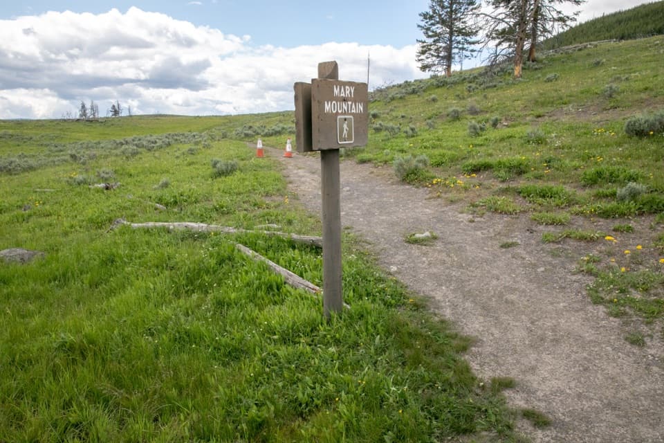
Yellowstone National Park, WY · MT · ID
A full-day traverse from Hayden Valley to Nez Perce Creek.
Overview
Map & elevation
Plan your hike

The highest, rockiest slopes around here are a summer buffet for grizzly bears.
Yellowstone Tour Guide
Parkwolf is a GPS audio tour guide for Yellowstone National Park. As you drive, it chimes in with what’s ahead: hidden gems, upcoming stops, history, geology, and wildlife, right through your car’s speakers.
See the Yellowstone audio tourRecorded for this area
The Plumbing Behind an Eruption“A geyser needs underground plumbing that holds water back. Narrow passages keep hot water from circulating freely to the surface.”
Plays on the road 0.4 mi from the trailhead in the Parkwolf Yellowstone Tour Guide.
More stories near here in the app
“First time driving through a national park. We used the Yellowstone tour on grand loop Road and it’s just like having a tour guide in your car with you.”


Trail guide
Mary Mountain–Nez Perce is a 20.2-mile, one-way point-to-point hike across Yellowstone’s Central Plateau, from Mary Mountain East Trailhead (4N1) on the east side of Hayden Valley to Nez Perce Trailhead (OK7) near Lower Geyser Basin. Plan a full day—about 10 hours on foot—and arrange a vehicle transfer or pickup before you start; the trailheads are far apart, and no shuttle was confirmed. The route stays roughly between 7,200 and 8,300 feet, so the distance, altitude and remote setting add up. No pets are allowed.
From Mary Mountain East, the tread rolls over a low hill, eases down toward Alum Creek, then climbs again. Steam from the Sulphur Mountain area can show to the south. The route follows Hayden Valley’s north edge, enters trees briefly, then opens to a broad valley view around six miles in. Small geothermal features and stream crossings punctuate this stretch; one larger seasonal crossing can vary in size. After the overlook, expect roughly 3.5 miles through forest before Mary Lake.
Mary Lake sits near the midpoint, with backcountry thermal areas nearby. The route then drops nearly 1,000 feet over about three miles and levels through meadows alongside Nez Perce Creek toward the west trailhead. Several stream crossings lie along this leg; water levels change, so check conditions and be ready to turn around if a crossing is unsafe. Stay on the established tread around thermal ground; off-trail travel in thermal areas is prohibited.
Grizzlies and bison frequent this country. A hiker was killed by a grizzly on Mary Mountain in Hayden Valley in 2011. The park recommends groups of three or more, staying together, and carrying bear spray immediately accessible. One trip account notes that bison paths and knocked-down markers can make the tread confusing, so bring a map and be able to navigate rather than relying on animal paths. No food or potable water is listed at the trailheads; carry what you need for the day.
Wildlife
 713 sightingsGrizzly BearMost seen around 6 AMSighting map
 743 sightingsWolfMost seen around 6 AMSighting map
 5,273 sightingsBisonMost seen around 7 AMSighting map
 3,258 sightingsElkMost seen around 7 PMSighting map
 397 sightingsMooseMost seen around 7 PMSighting map
 1,494 sightingsBlack BearMost seen around 7 PMSighting map
Sighting maps show where each species has been reported across Yellowstone. Wildlife moves, so no sighting is guaranteed.
Keep exploring
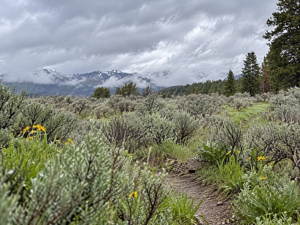 ChallengingWapiti Lake Trail30.6 mi · 13 hr · 1.7 mi awayA 30.6-mile backcountry round trip to camps near Wapiti Lake.
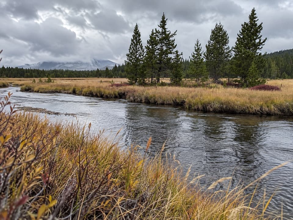 ModerateWrangler Lake Trail8 mi · 4 hr · 1.7 mi awayCreek crossings lead through Hayden Valley to a backcountry lake.
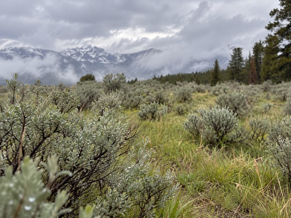 ModerateSour Creek Trail5.2 mi · 2.5 hr · 1.7 mi awayMeadows, steam vents and creek crossings in Sour Creek country
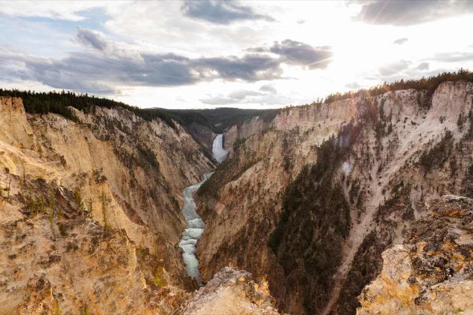 ModerateSouth Rim Trail3.6 mi · 2 hr · 1.8 mi awayUpper and Lower Falls, with canyon views between them
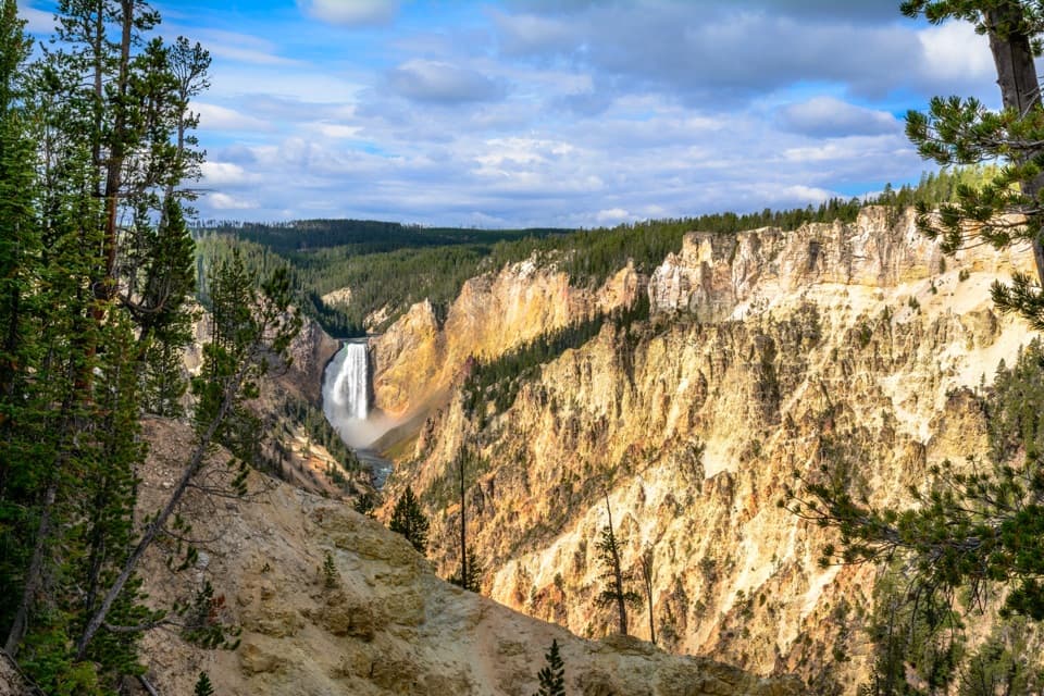 ModerateNorth Rim Trail7 mi · 4 hr · 1.8 mi awayConnect the North Rim's waterfalls and canyon overlooks on foot.
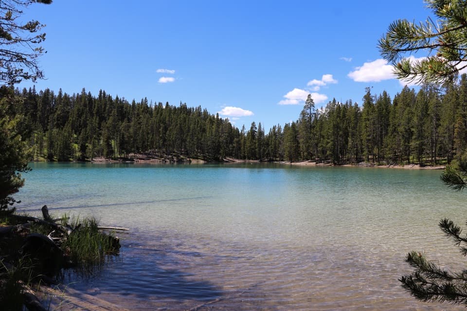 EasyClear Lake Trail1.4 mi · 1 hr · 2.2 mi awayA gentle short walk to a bubbling, spring-fed lake.
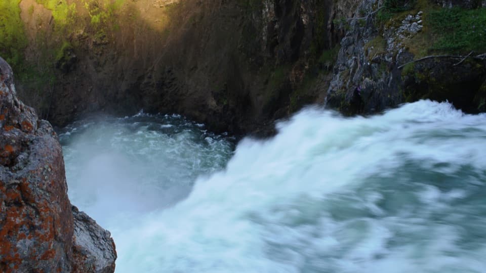 EasyBrink of the Upper Falls Trail0.3 mi · 24 min · 2.2 mi awayA short, stair-stepped walk to Yellowstone's 109-foot Upper Falls.ModerateClear Lake–Ribbon Lake Loop Trail6.1 mi · 3.5 hr · 2.2 mi awayThermal ground, two lakes, and a canyon rim return.
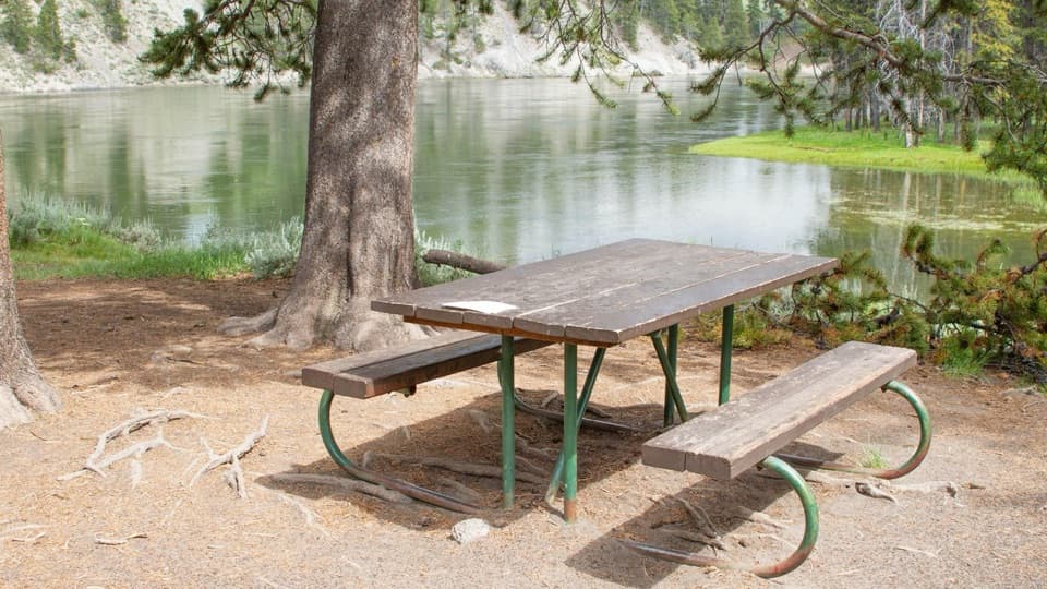 Picnic area · 1.2 mi awayOtter Creek Picnic AreaA riverside meal stop; bring your own food and water.
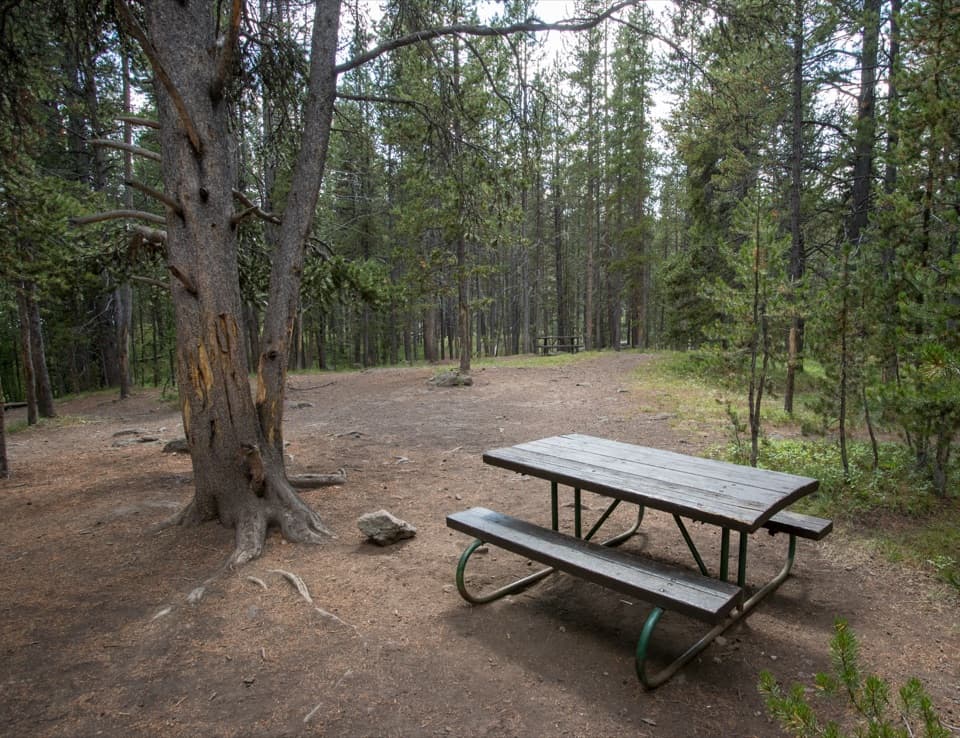 Picnic area · 1.7 mi awayChittenden Bridge Picnic AreaA handy picnic break beside the Wapiti Lake Trailhead.
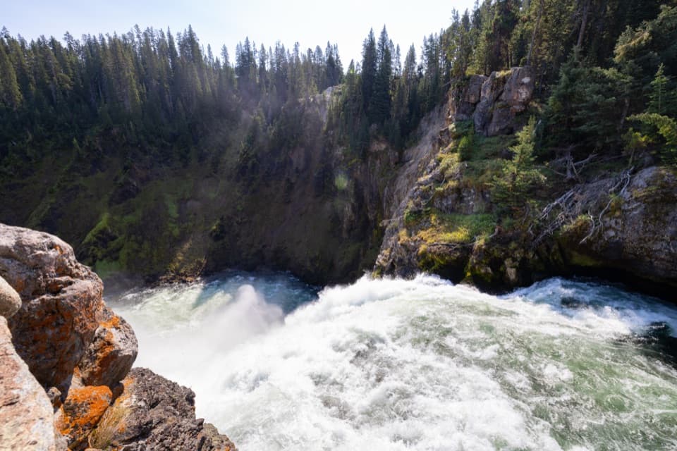 Sight · 2.1 mi awayBrink of the Upper FallsSee the river spill over a 109-foot fall up close.
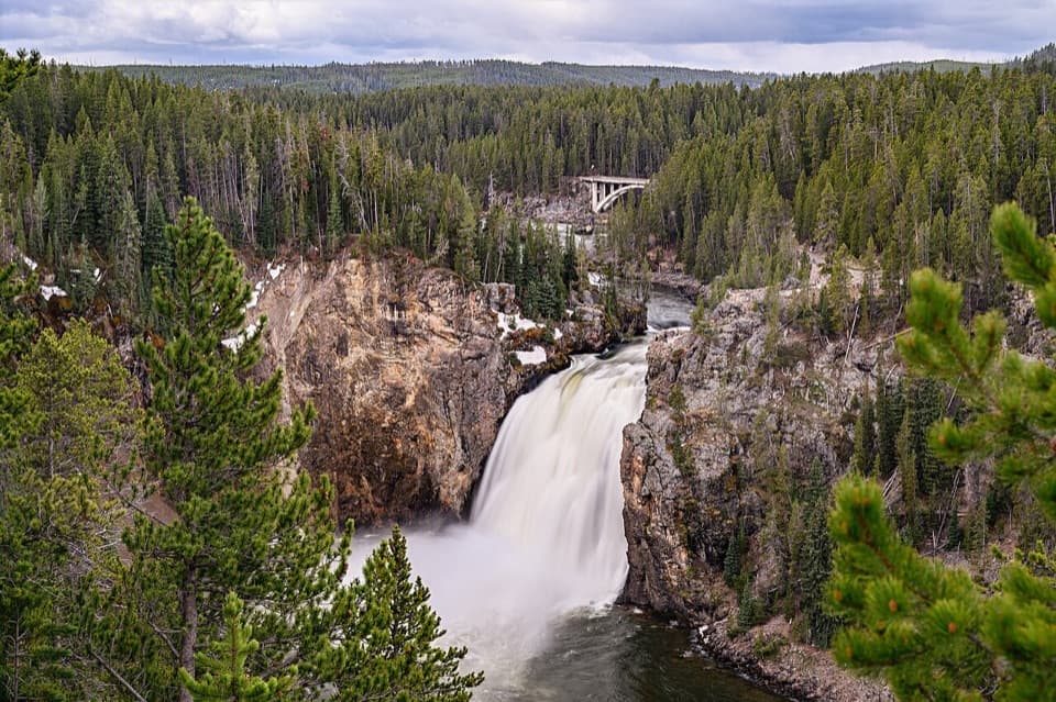 Sight · 2.2 mi awayUpper Falls ViewpointsSouth Rim stop for a close look at 109-foot Upper Falls.
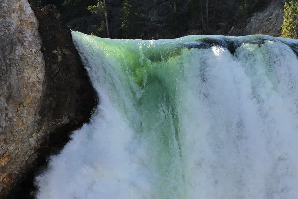 Sight · 2.4 mi awayBrink of the Lower FallsGet close enough to feel the Lower Falls' roar.
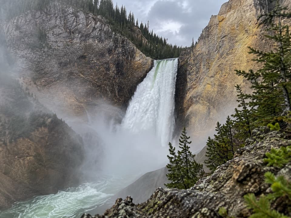 Sight · 2.5 mi awayRed Rock PointA close Lower Falls view after a steep climb back out.
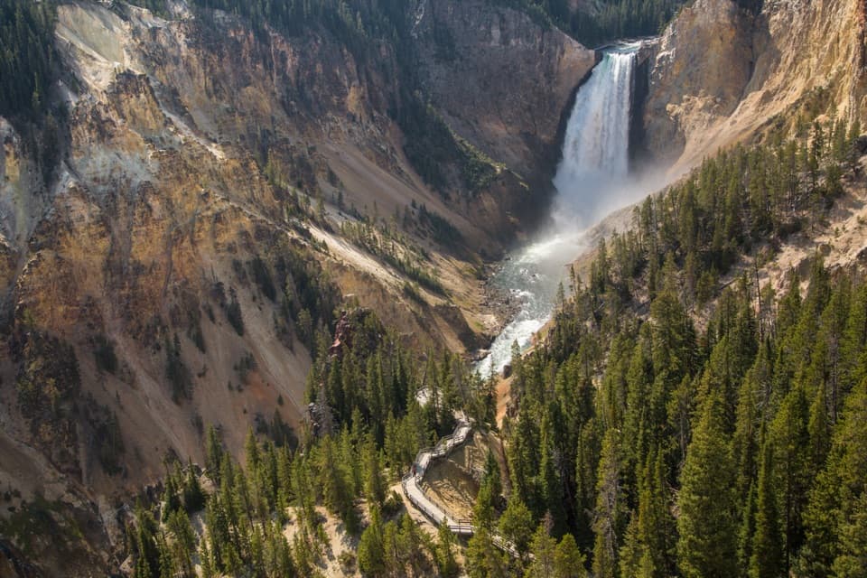 Sight · 2.6 mi awayLookout PointThe Lower Falls fills the canyon from this north-rim perch.
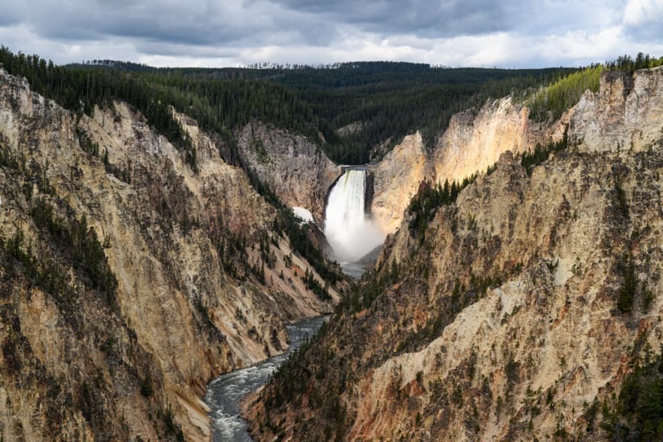 Sight · 2.7 mi awayArtist PointFrom the rim, the 308-foot Lower Falls anchors the view.
Parkwolf’s Yellowstone ranking

The audio tour guide for the drive, plus offline maps, trails, and wildlife heatmaps for when the signal drops.





