Parking
Use the Takakkaw Falls day-use lot at the end of Yoho Valley Road. It fills early in summer and on weekends. The road is open mid-June to mid-October; trailers are not allowed, and vehicles over 7 m must reverse around the tight switchbacks.

Yoho National Park, BC
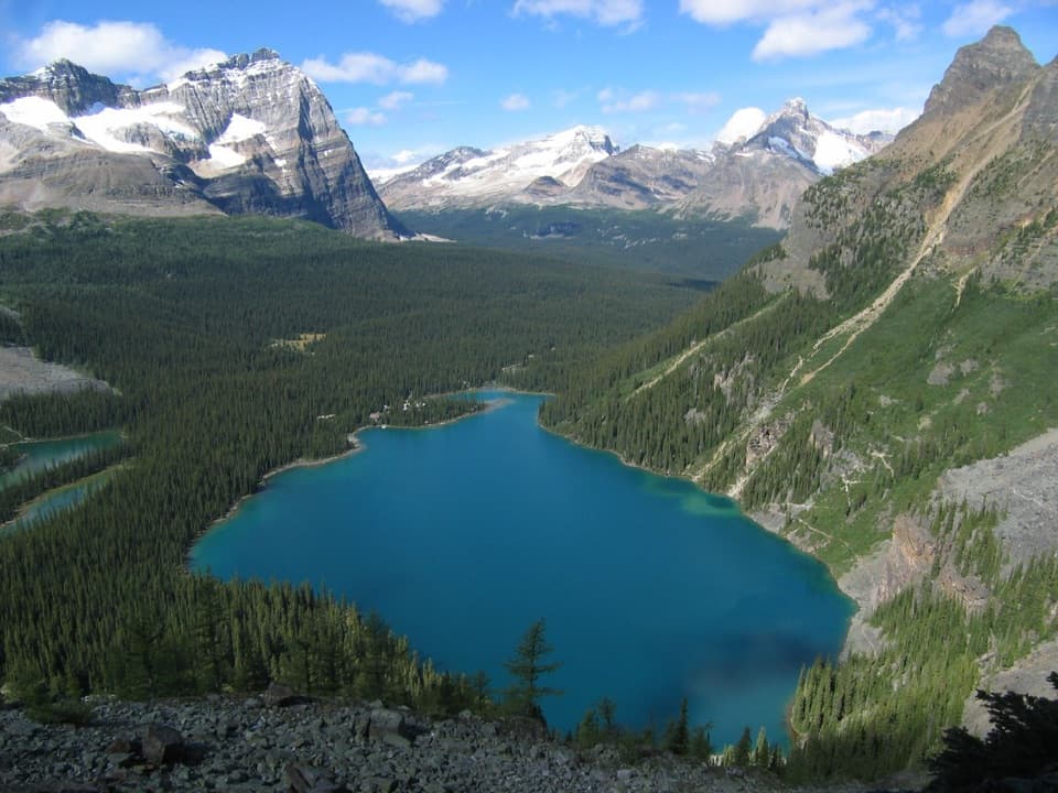
A steep climb leads to red chairs facing Wapta Mountain.
Overview
Map & elevation
Plan your hike

The highest, rockiest slopes around here are a summer buffet for grizzly bears.
Yoho Tour Guide
Parkwolf is a GPS audio tour guide for Yoho National Park. As you drive, it chimes in with what’s ahead: hidden gems, upcoming stops, history, geology, and wildlife, right through your car’s speakers.
See the Yoho audio tourRecorded for this trailhead
Iceline and Yoho Lake: Choose Your Hiking Day“You're coming up on the Iceline and Yoho Lake trail access, where the hikes start with a steep forest climb.”
Plays as you drive up to this trailhead in the Parkwolf Yoho Tour Guide.
More stories near here in the app
“Fantastic app with many points of information… It’s great to just turn on while you’re driving and it gives you an audio tour of the national Park. We love it!!!!”


Trail guide
Yoho Lake Trail is a 9.8 km (6.1 mi) out-and-back from the Takakkaw Falls day-use lot. Allow about three to four hours for the hike and a pause at the lake. Parks Canada lists 435 m of climbing and 130 m of descent on the one-way leg; because you retrace it, the way back adds another climb over those dips. It is a good pick if you want a proper uphill hike ending at an emerald backcountry lake. If you only want Takakkaw Falls, the shorter falls walk is an easier stop from the same lot.
The trail climbs steeply through subalpine forest in a long run of switchbacks. Look back for a higher view of Takakkaw Falls across the valley. At the signed junction, take the Yoho Lake trail straight ahead; the Iceline turn goes right. A rough, muddy branch to Hidden Lakes leaves the early climb, but the small lake is a weaker payoff, so I would stay on the main trail unless you specifically want the detour.
Past the junction, the grade eases along a forested terrace. Five small creeks cross the route, then the waterfall noise fades as you pass over a low rise and descend into the open subalpine at Yoho Pass. Snow can linger here after the lower valley has cleared. Once it melts, look for flowers such as glacier lily and western anemone in the moist patches. Yoho Lake appears through the trees, with narrow bridges over its wetlands.
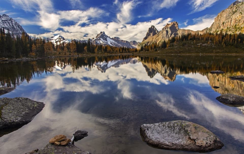
The lake and its red chairs are the destination. From the chairs, Wapta Mountain faces across the water and can show up in the reflection when the surface is still. For a phone photo, put the chairs near the edge of the frame and leave enough open water to catch the mountain behind them. Yoho Pass also has a mountaineering history: the Alpine Club of Canada held its first General Mountaineering Camp here in 1906, with nearly 100 members.
Start at the Takakkaw Falls day-use lot. It fills early in summer and on weekends, so have a backup plan. Yoho Valley Road is open roughly mid-June to mid-October and closed to vehicles for much of the rest of the year. Its switchbacks are tight: trailers are not allowed, and vehicles longer than 7 m must reverse around them. Dogs are welcome on leash. A park pass is required to enter Yoho; an overnight stay at the Yoho Lake campground also requires a backcountry permit and campsite reservation.
Wildlife
 21 sightingsGrizzly BearMost seen around 6 AMSighting map
 55 sightingsMountain GoatMost seen around 8 AMSighting map
 61 sightingsBlack BearMost seen around 8 PMSighting map
 66 sightingsElkMost seen around 7 PMSighting map
 26 sightingsMooseMost seen around 6 AMSighting map
 10 sightingsBald EagleMost seen around 7 AMSighting map
Sighting maps show where each species has been reported across Yoho. Wildlife moves, so no sighting is guaranteed.
Keep exploring
 ChallengingIceline via Little Yoho20.3 km · 8 hr · At the trailheadGlacier views and tarns reward a full-day climb.
 ChallengingIceline via Celeste Lake Loop17.4 km · 7 hr · At the trailheadSteep climb, glacier views, and a Celeste Lake descent.
 ChallengingWhaleback Circuit20.5 km · 7.5 hr · At the trailheadTwin Falls, an alpine ridge, and a full day on foot.
 ModerateTwin Falls Trail16.8 km · 5.5 hr · At the trailheadA long valley walk to Yoho's twin cascades and historic tea house.
 ChallengingYoho Valley Circuit28.5 km · 10.5 hr · At the trailheadA full day linking Twin Falls, Whaleback and the Iceline
 ModerateLaughing Falls Trail9 km · 3 hr · At the trailheadA riverside walk to Laughing Falls with two optional waterfall detours.
 EasyPoint Lace Falls and Angels Staircase Falls Trail5.5 km · 1.8 hr · At the trailheadAn easy valley walk branches to two waterfall viewpoints.
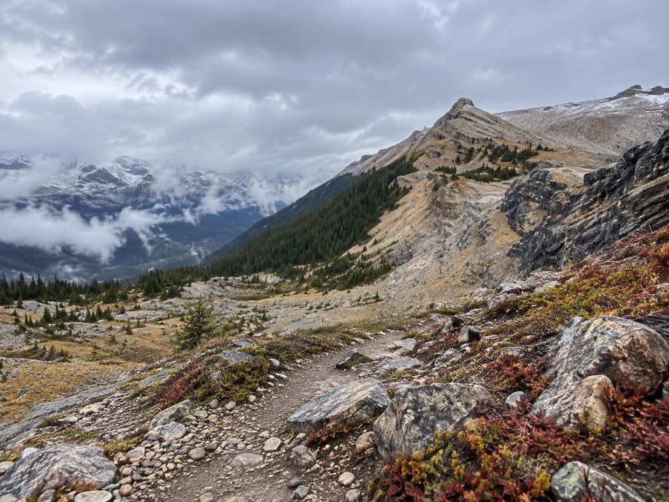 ChallengingTakakkaw Lake Route7.9 km · 7 hr · At the trailheadA steep, rough climb follows the upper valley toward Takakkaw Lake.
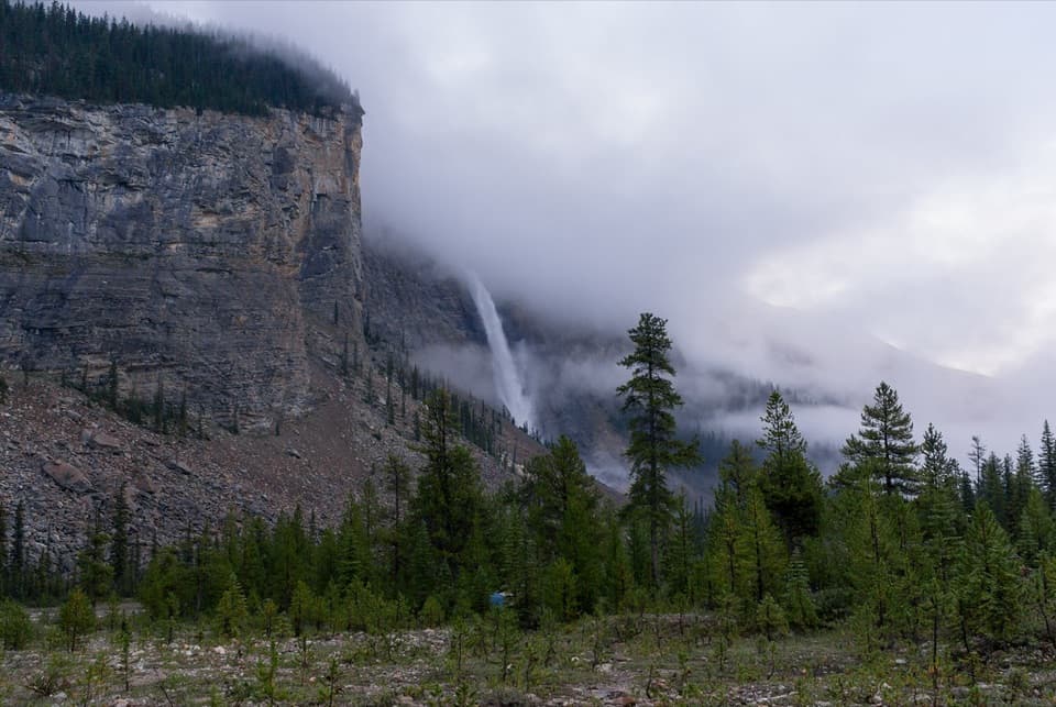 Campground · At the trailheadTakakkaw Falls CampgroundA walk-in tent camp beneath the roar of Takakkaw Falls.
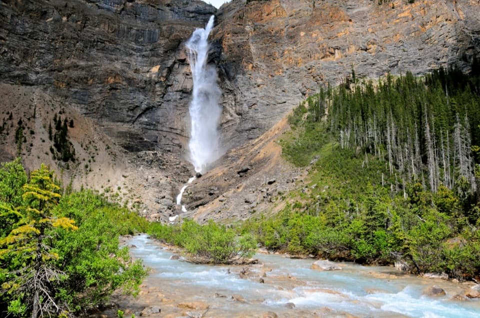 Sight · 0.8 km awayTakakkaw FallsGet close enough for glacier-fed spray to change the temperature.
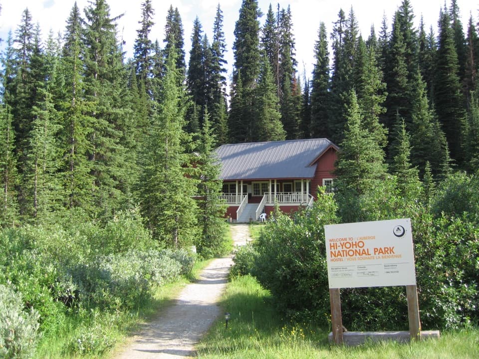 Lodging · 0.8 km awayHI Yoho National Park, Whiskey Jack Wilderness HostelA rustic hostel base for Takakkaw Falls and the Iceline Trail.
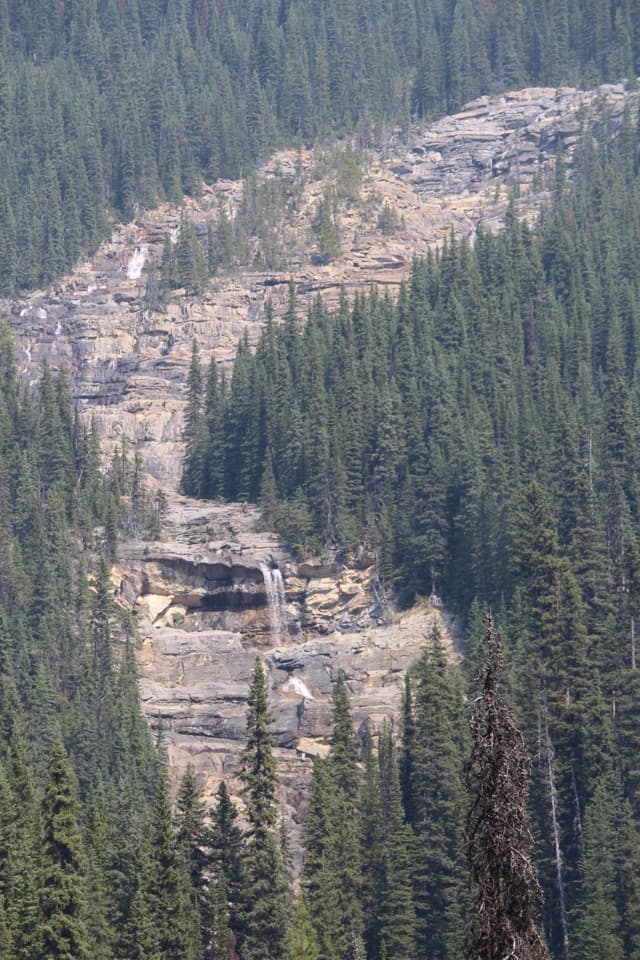 Sight · 2.3 km awayAngel’s Staircase Falls ViewpointA stepped cascade worth the valley walk while snowmelt still feeds it.
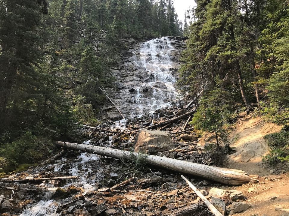 Sight · 2.3 km awayPoint Lace FallsA short spur reaches a lacy, 45-foot cascade.Campground · 2.5 km awayYoho Lake CampgroundBackcountry camping beside Yoho Lake, reached by a steep hike.Sight · 2.6 km awayYoho LakeRed chairs and a Wapta reflection reward the uphill hike.
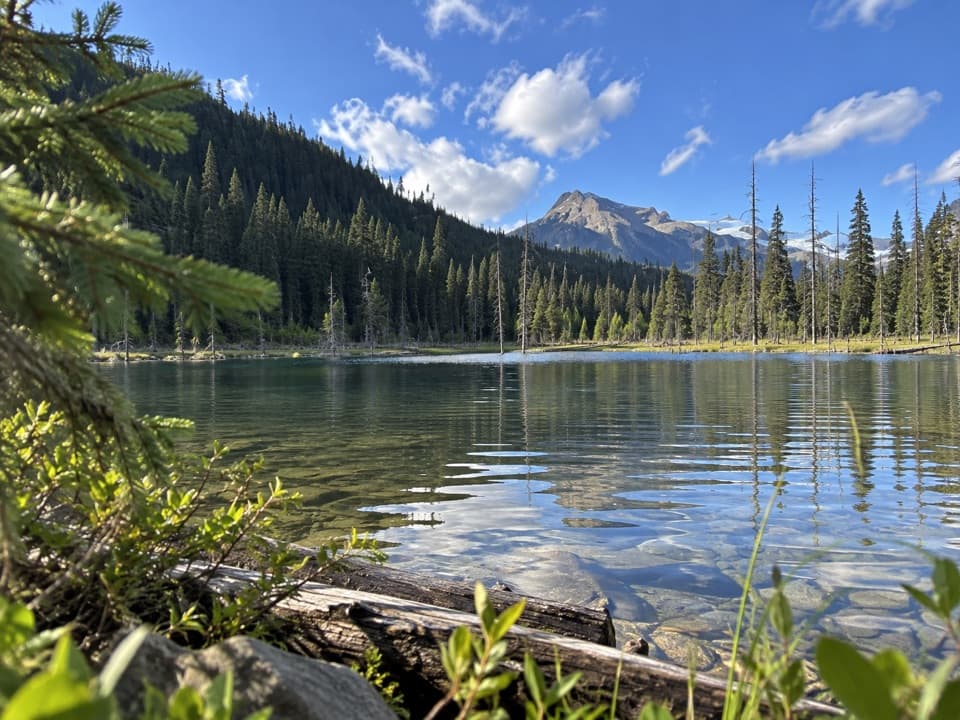 Sight · 3.1 km awayDuchesnay LakeAdd the lake detour if you're walking to the waterfalls.
Parkwolf’s Yoho ranking

The audio tour guide for the drive, plus offline maps, trails, and wildlife heatmaps for when the signal drops.