Parking
Use the shared Sentinel Dome and Taft Point trailhead parking area on Glacier Point Road. The lots serve both hikes and can fill at busy times; pit toilets are available. There is no confirmed water source at the lot.

#10 of 141 trails in Yosemite
Yosemite National Park, CA
Cracked granite, a sheer rim, and a valley that drops away.
Overview
Map & elevation
Plan your hike

“You're approaching the Sentinel Dome and Taft Point trailhead. My pick for a full-circle mountain view is Sentinel Dome: two miles round trip, with a steep final climb on bare granite.”
Yosemite Tour Guide
Parkwolf is a GPS audio tour guide for Yosemite National Park. As you drive, it chimes in with what’s ahead: hidden gems, upcoming stops, history, geology, and wildlife, right through your car’s speakers.
See the Yosemite audio tourRecorded for this trailhead
Sentinel Dome and Taft Point“You're approaching the Sentinel Dome and Taft Point trailhead. My pick for a full-circle mountain view is Sentinel Dome: two miles round trip, with a steep final climb on bare granite.”
Plays as you drive up to this trailhead in the Parkwolf Yosemite Tour Guide.
More stories near here in the app
“We just drove through Yosemite and it made our trip listening to this app as we drove through. Like having a tour guide in the car with you.”


Trail guide
This is a standalone 2.4-mile out-and-back from the shared Sentinel Dome and Taft Point trailhead, across forest and open granite to the Fissures and Taft Point above Yosemite Valley. The walk is gentle for most of its 1.2-mile approach, with a short climb back to the lot. The main reason to come is the sudden, close view of the valley, El Capitan and Yosemite Falls. The last stretch is different: the overlook sits beside narrow cracks and an exposed cliff edge, so anyone uncomfortable with heights can stop at the signed, railed viewpoint and turn around.
From the shared parking area, follow the westbound trail and take the Taft Point branch at the fork; Sentinel Dome is the other hike. The path descends through forest, crossing Sentinel Creek early, then meets the Pohono Trail. Continue straight toward Taft Point rather than turning onto another destination. The route is mostly a dirt-and-rock tread beneath pines and firs. As the forest thins, low manzanita and open granite replace the shade, and the rim comes into view near the end. The return is the same way, with the uphill section back to the trailhead.
The National Park Service lists 2.2 miles round trip. Following the connected mapped path from the shared lot to the last safe path point at the rim measures about 1.2 miles one way, or 2.4 miles out and back. Plan for 2.4 miles, allowing about 1 to 2 hours at an ordinary pace. The short distance can make this feel easy, but the destination has hazards that are out of proportion to the walk. The fissures and Taft Point ledges are not enclosed, and some cracks drop as much as 2,000 feet.
The Fissures are narrow joints in the granite, split into deep cracks that open toward the valley. A railed viewpoint provides a place to take in the panorama; the rocky ledges nearby are exposed and largely unguarded. Stay back from cracks and edges, and keep children close. The wide view takes in El Capitan, Yosemite Falls, Eagle Peak, the Three Brothers, El Capitan Meadow and the Merced River. A useful photo composition pairs the fractured granite in the foreground with El Capitan or the waterfall across the valley; make it from a safe position, not from the rim.
The shared trailhead is on Glacier Point Road. That road is typically reachable by car from late May through October or November, depending on the season, so access is seasonal. Parking serves both Taft Point and Sentinel Dome and can fill during busy periods. Pit toilets are available at the trailhead, but services are limited and water at the lot is not confirmed; carry enough for the whole hike. Pets and bicycles are not allowed on Yosemite hiking trails. Food and additional services may be available farther along the road at Glacier Point when seasonal facilities are operating, but they are a separate stop, not part of this hike.
The Fissures are joints in Yosemite’s granitic bedrock, which formed deep underground roughly 105 to 85 million years ago. Joints also influenced the way glaciers later eroded the valley, but no evidence establishes one specific origin for each crack at Taft Point. The hike makes that geology visible at walking scale: smooth pale slabs, abrupt fractures and a forested valley far below.
Wildlife
 732 sightingsBlack BearMost seen around 7 PMSighting map
 1,747 sightingsMule DeerMost seen around 6 PMSighting map
 332 sightingsCoyoteMost seen around 7 PMSighting map
 11 sightingsPeregrine FalconMost seen around 8 AMSighting map
 276 sightingsPikaMost seen around 8 AMSighting map
 677 sightingsYellow-bellied MarmotMost seen around 8 AMSighting map
Sighting maps show where each species has been reported across Yosemite. Wildlife moves, so no sighting is guaranteed.
Keep exploring
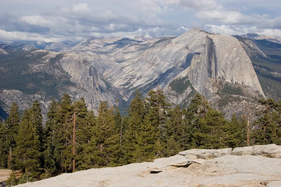 ModerateSentinel Dome Trail2 mi · 1.5 hr · At the trailheadHalf Dome and the Valley from a rounded granite summit.
 ModerateSentinel Dome and Taft Point Loop4.9 mi · 3.5 hr · At the trailheadPair a dome summit scramble with Taft Point’s deep granite fissures.
 EasyGlacier Point Overlook Trail0.3 mi · 15 min · 1.2 mi awayHalf Dome and the high Sierra from a short paved overlook walk.
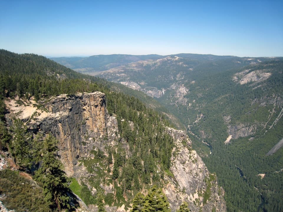 ChallengingPohono Trail12.5 mi · 9 hr · 1.2 mi awayFive south-rim viewpoints make this long day earn its keep.
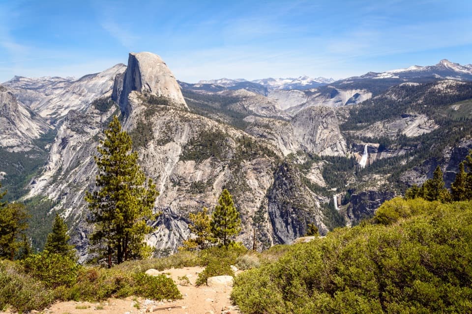 ChallengingTheodore Solomons Trail (Yosemite Section)20.1 mi · 18 hr · 1.2 mi awayA remote 20-mile route from Glacier Point to Yosemite's southern boundary.
 ChallengingPanorama Trail8.2 mi · 7 hr · 1.3 mi awayA one-way descent past Illilouette Fall into Yosemite Valley.
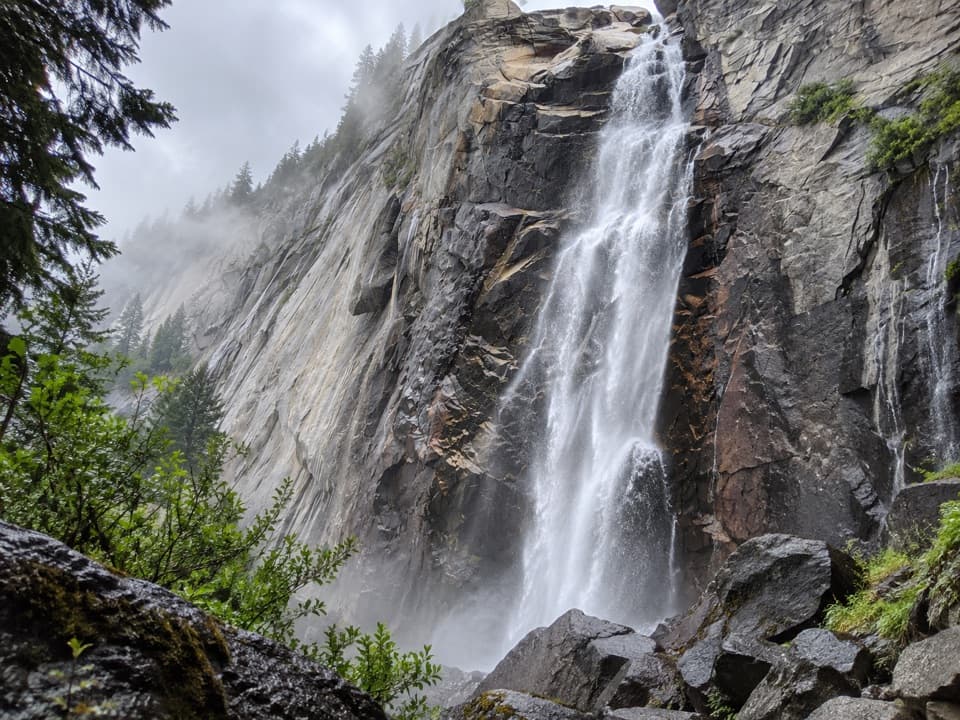 ModerateIllilouette Fall Trail5 mi · 3.5 hr · 1.3 mi awayCreekside granite and valley views, with a long climb back.
 ChallengingFour Mile Trail4.8 mi · 3.5 hr · 1.7 mi awayClimb Yosemite’s south wall for a broader view of the Valley.
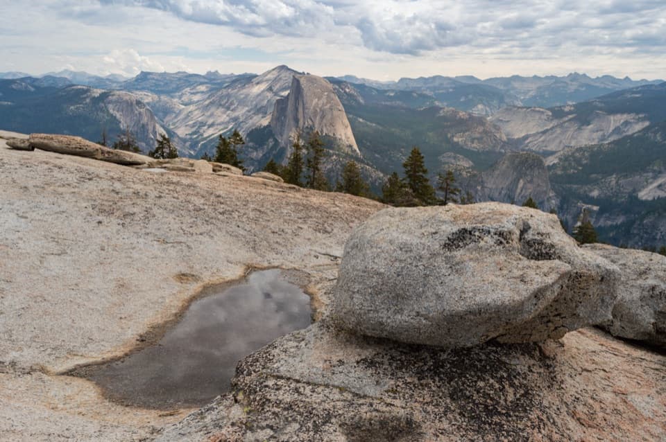 Sight · 0.7 mi awaySentinel DomeA short granite scramble, then the whole horizon opens up.
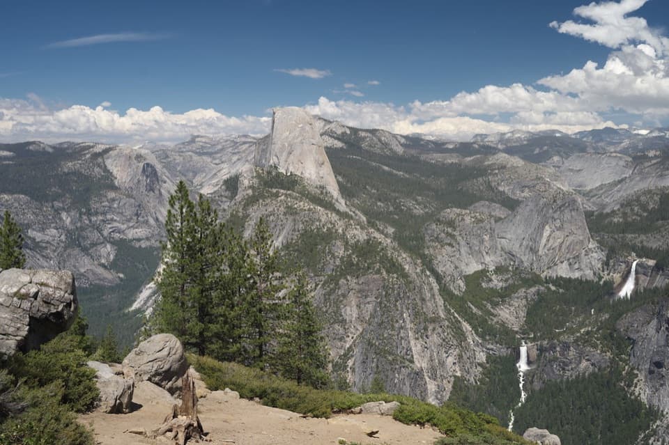 Sight · 0.9 mi awayWashburn PointHalf Dome and three waterfalls share this roadside panorama.Sight · 1 mi awayTaft PointThe short walk ends at a rim facing El Capitan.
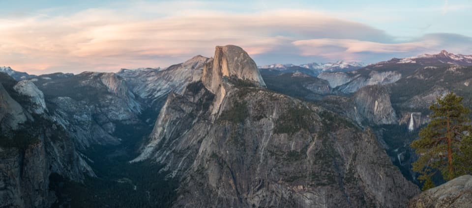 Sight · 1.4 mi awayGlacier PointA broad panorama of Yosemite Valley, Half Dome and waterfalls.
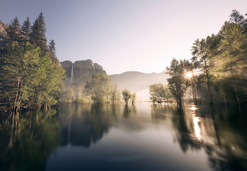 Picnic area · 1.8 mi awaySwinging Bridge Picnic Area (Yosemite Valley)Picnic by the Merced with Yosemite Falls for company.
 Beach · 1.8 mi awaySentinel BeachPicnic under Sentinel Rock with Upper Yosemite Fall in view.
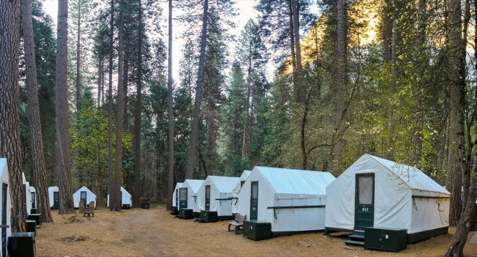 Lodging · 1.9 mi awayCurry VillageHistoric tent-cabin lodging with dining in Yosemite Valley.
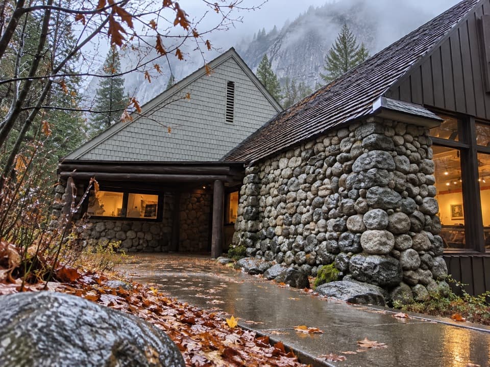 Sight · 1.9 mi awayHappy Isles Art and Nature CenterHands-on nature displays, with river-isle walks just outside.
Parkwolf’s Yosemite ranking

The audio tour guide for the drive, plus offline maps, trails, and wildlife heatmaps for when the signal drops.



