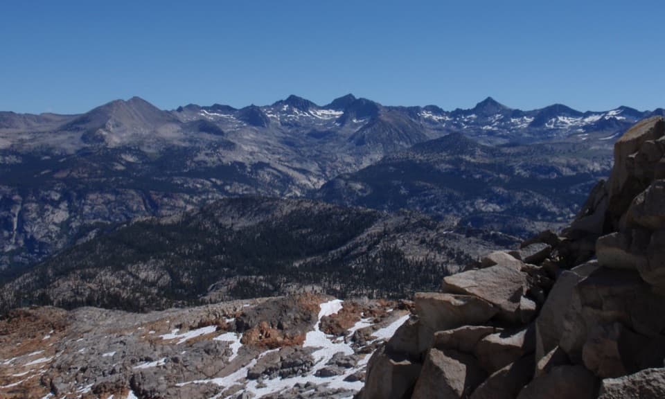
Red Peak Pass Loop in Yosemite National Park

Yosemite National Park, CA

Red Peak Pass Loop

A remote 48-mile loop crosses a high, exposed pass.

Photo: Flickr
Length
48.1mi
Time
1.7days
Elev. change
4,905ft
Difficulty
Challenging
  • Loop
  • No dogs
  • High point 11,056 ft
  • #52 of 141 in Yosemite

Hear the audio tour

Mono Meadow Trailhead

Overview

About Red Peak Pass Loop

Why go

  • A full Clark Range crossing links Ottoway Lake, Red Peak Pass, the Merced River, and Nevada Fall.
  • High-country lakes and an exposed pass make the long route feel like a true wilderness circuit.

Heads up

  • At 48.1 miles with 6,650 feet of gain, it demands several days and an overnight wilderness permit.
  • Red Peak Pass is a steep, exposed crossing at high elevation.

Map & elevation

The route

Loading the Yosemite map
Full map
Elevation6,152–11,056 ft
TrailheadMono Meadow Trailhead37.67139, -119.58481
Keep this map with you offline in the Parkwolf app

Plan your hike

Before you go

Parking

Start at Mono Meadow Trailhead on Glacier Point Road, not Glacier Point or Happy Isles, which are different route variants. The road typically opens to cars from late May through October or November, depending on conditions; check its current status before planning access.

Safety

This is a remote, high-elevation 48-mile backpacking route. Red Peak Pass has steep, exposed switchbacks; storms and lingering snow can make the crossing hazardous. Overnight wilderness travel requires a permit, and pets are prohibited on trails and in wilderness.

4 active Yosemite alerts

  • ClosureDome Fire closes Glacier Point Road and trailsMentions Glacier Point Road, referenced in this guideGlacier Point Road is temporarily closed because Dome Fire smoke reduces visibility and to allow firefighting operations; some trails south of the road are also closed.Official details
  • CautionMist Trail access limited during October repairsThe Mist Trail between its John Muir Trail junction above the Vernal Fall footbridge and the top of Vernal Fall has limited access through October for repair work.Official details
See all 4 alerts
The Parkwolf Tour Guide on a dash-mounted phone, driving into Yosemite Valley

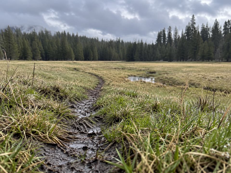
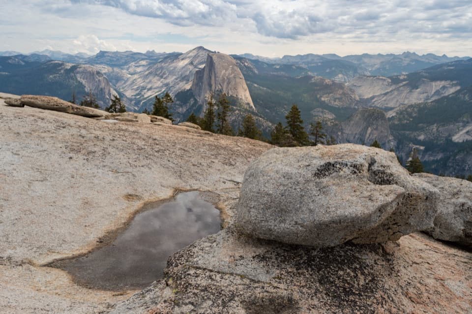
“Mono Meadow Trailhead is coming up, with a hike through a wet meadow to an open granite shelf.”

Yosemite Tour Guide

Yosemite, narrated.

Parkwolf is a GPS audio tour guide for Yosemite National Park. As you drive, it chimes in with what’s ahead: hidden gems, upcoming stops, history, geology, and wildlife, right through your car’s speakers.

See the Yosemite audio tour

Recorded for this trailhead

Mono Meadow Trailhead
0:00 / 0:26
“Mono Meadow Trailhead is coming up, with a hike through a wet meadow to an open granite shelf.”

Plays as you drive up to this trailhead in the Parkwolf Yosemite Tour Guide.

More stories near here in the app

  • Ostrander Lake
  • How Sunshine Moves Granite
  • McGurk Meadow and Dewey Point
  • Sentinel Dome and Taft Point
  • 125 audio storiesacross Yosemite’s roads, triggered by GPS as you drive
  • Wildlife heatmapsfor Black Bear, Peregrine Falcon, Mule Deer, and 13 more
  • Works offlinemaps, 141 trails, 99 places, and audio download before you lose signal
  • CarPlay readysimple controls built for the drive
★★★★★
“We just drove through Yosemite and it made our trip listening to this app as we drove through. Like having a tour guide in the car with you.”
Roddy 3210App Store review
Download Parkwolf on the App StoreGet Parkwolf on Google Play

4.7 from 8,600+ ratings

Trail guide

Hiking Red Peak Pass Loop

What this trip asks of youRed Peak Pass Loop is a 48.

Red Peak Pass Loop is a 48.1-mile counterclockwise backpacking circuit from Mono Meadow through the Clark Range and back by the Merced River and Nevada Fall. It links forest, high-country lakes, and an exposed pass into a remote wilderness trip, not a day hike. Plan five or six days at ordinary pack-carrying pace, about eight to ten miles a day. A six-day itinerary averages roughly eight miles daily; five days pushes that closer to ten. The full route gains 6,650 feet, so leave room for a demanding climb at altitude and a long finish.

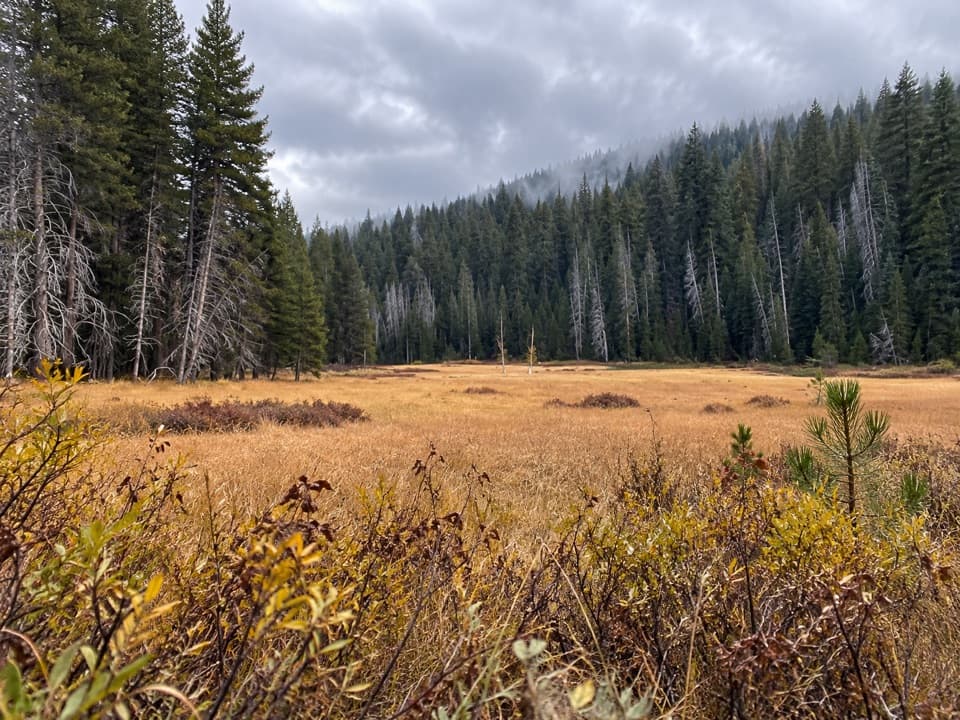
Leaving Mono MeadowThe opening approach is forested, with occasional breaks for domes such as Mount Starr King.

The opening approach is forested, with occasional breaks for domes such as Mount Starr King. It drops about 1,000 feet over roughly 3.4 miles before the route turns southeast toward the Ottoway lakes. Save some energy for the return: the route climbs back toward the trailhead after circling the high country.

Ottoway Lake and Red Peak PassOttoway Lake sits in the heart of the Clark Range.

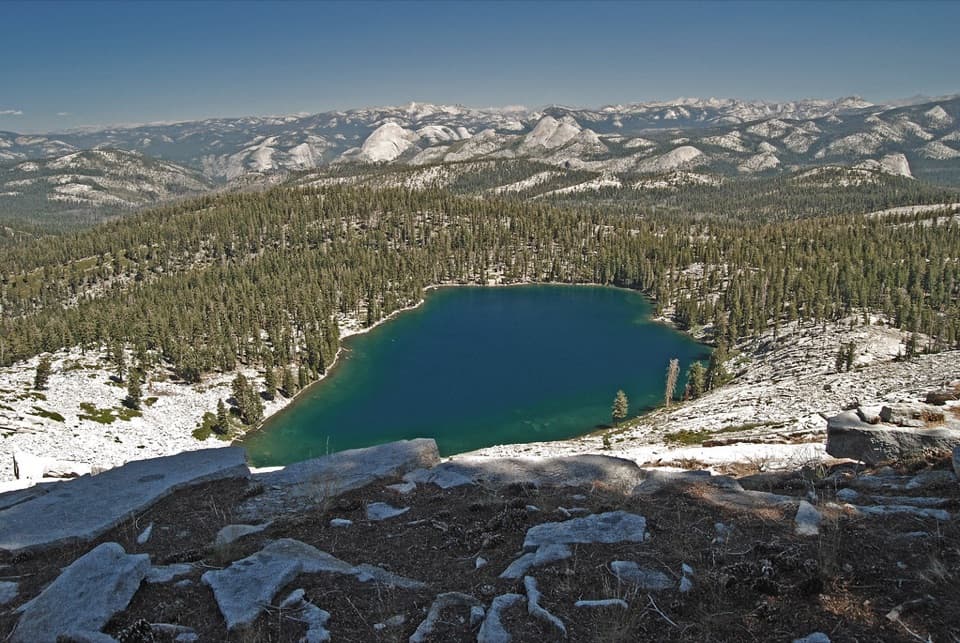
Ottoway Lake sits in the heart of the Clark Range. From the Merced Pass Lakes, the steep climb to Red Peak Pass gains about 1,200 feet; dirt and stone steps give way to exposed granite above the trees, with switchbacks threading between rock spires. Red Peak Pass is Yosemite's highest pass, and the open crossing is the defining effort and view. From the top, frame the nearby granite and a little trail against the jagged ridge so the scale comes through in a photo.

Down into the Merced drainageBeyond the pass, the route drops through lakes, streams, and granite basins toward Washburn…

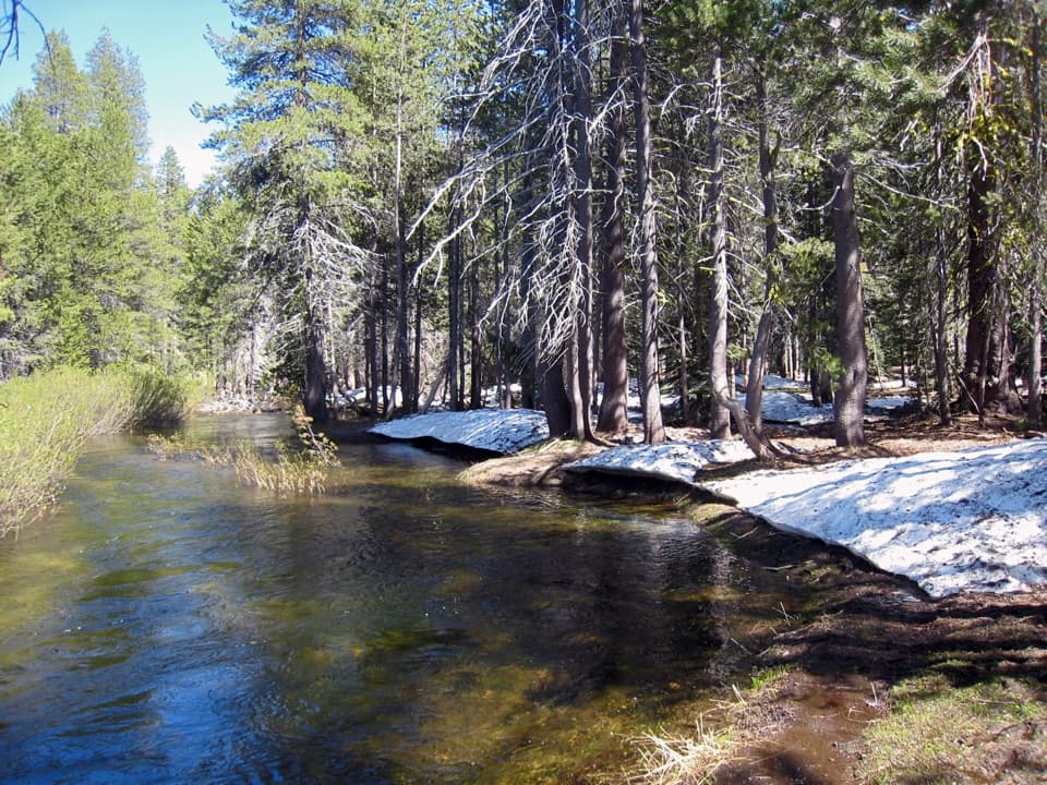
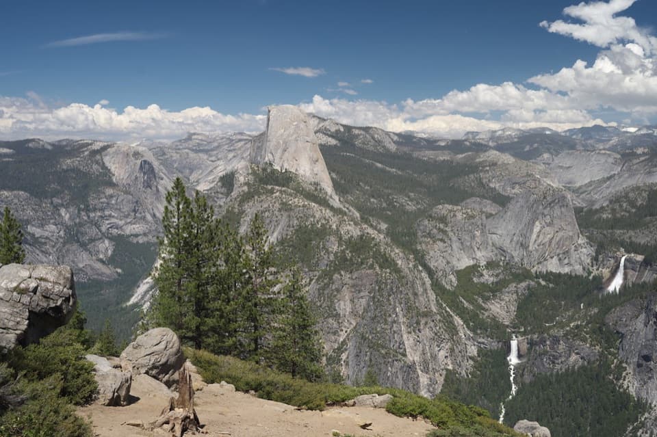
Beyond the pass, the route drops through lakes, streams, and granite basins toward Washburn Lake and Merced Lake High Sierra Camp, then follows the Merced River west to Nevada Fall. Stay with this westward return instead of taking one of the Happy Isles versions that begins in the valley. The landscape shifts from open high country to forest again; allow time for the long descent. Merced Lake High Sierra Camp is a useful landmark, but don't count on it as a dependable resupply stop.

The last climbFrom Nevada Fall, the route climbs through forest toward Mono Meadow.

From Nevada Fall, the route climbs through forest toward Mono Meadow. The mileage is spread around a loop rather than concentrated in one summit push, but the altitude, remoteness, and pack-carrying distance make this a serious backpacking commitment. Build a pace that leaves energy for the final uphill section.

Permits, access, and suppliesMono Meadow Trailhead is on Glacier Point Road.

Mono Meadow Trailhead is on Glacier Point Road. The road typically opens to cars from late May through October or November, depending on conditions, so check its current status before planning access. Overnight trips in Yosemite Wilderness require a permit year-round, and pets are not allowed on trails or in wilderness. Pack food and supplies for the full trip; no dependable resupply is established along this route.

Wildlife

Wildlife in Yosemite

All Yosemite wildlife maps

Sighting maps show where each species has been reported across Yosemite. Wildlife moves, so no sighting is guaranteed.

Keep exploring

Near Red Peak Pass Loop

See it all on the map

Trails that start nearby

Places near the trailhead

Parkwolf’s Yosemite ranking

Top-rated trails in Yosemite

All 141 trails
  1. 1Half Dome TrailChallenging · 14.3 mi
  2. 2Clouds Rest TrailChallenging · 14 mi
  3. 3Nevada Fall Loop via Mist and John Muir TrailsChallenging · 6.4 mi
  4. 4Yosemite Falls TrailChallenging · 7.2 mi
  5. 5Panorama TrailChallenging · 8.2 mi
  6. 6Four Mile TrailChallenging · 4.8 mi

Take Parkwolf to Yosemite.

The audio tour guide for the drive, plus offline maps, trails, and wildlife heatmaps for when the signal drops.

4.7 from 8,600+ ratings

Download Parkwolf on the App StoreGet Parkwolf on Google Play