Parking
From Highway 9, turn onto Anasazi Way. About 500 feet up, take the first side road on the right to the designated dirt parking area. Private land lies between parking and the park boundary; stay on the marked route.

Zion National Park, UT
Petrified wood, open desert, and a spring at the end.
Overview
The Chinle Trail to Coalpits Spring is a desert out-and-back from Anasazi Way across Zion’s low southwest country to a spring in Coalpits Wash. It is 8.2 miles each way, 16.4 miles round trip. The park estimates 4–7 hours to the spring one way, so allow a full 8–14-hour day for the return. The path rolls over sandy hills rather than climbing steeply for long, but the distance, sun and navigation make it a hard hike. Turn around whenever you need to; this is not a loop.
 Parkwolf’s verdictIs this the hike for you?
Map & elevation
Plan your hike

The highest, rockiest slopes around here are a summer buffet for grizzly bears.
Zion Tour Guide
Parkwolf is a GPS audio tour guide for Zion National Park. As you drive, it chimes in with what’s ahead: hidden gems, upcoming stops, history, geology, and wildlife, right through your car’s speakers.
See the Zion audio tourMore stories near here in the app
“Fantastic app with many points of information… It’s great to just turn on while you’re driving and it gives you an audio tour of the national Park. We love it!!!!”


Trail guide
The broad sandy path leaves its designated parking area in the Anasazi Plateau neighborhood. A gate about 1.2 miles in marks the park boundary. After roughly three miles, houses fall away and the route crosses low hills and dry washes among pinyon and juniper. The trail has little shade, and not every path in this network is well marked, so carry a good map and follow the established tread or durable wash surfaces.
Around four miles from the start, small colorful pieces of petrified wood appear in the desert. They are remnants of prehistoric forests; leave every piece where it lies. The biological soil crust beside the path can take decades to form and is easily damaged by a footstep, so stay on the trail or in durable washes.
As the path rises and dips, views open toward Mount Kinesava, Eagle Crags, Gooseberry Mesa and the West Temple. Spring brings wildflowers through the low desert. This is a broad-landscape walk rather than a single summit viewpoint; the changing angle on the surrounding cliffs is the payoff.
Near the Scoggins Wash crossing, a short optional scramble follows the streambed between boulders to pools and small waterfalls. It is a separate detour, not part of the 16.4-mile distance. The main route continues to Coalpits Wash and the spring, which sits beneath an overhang in the canyon wall a short walk downstream from the junction. The spring often flows but can dry in some years, so do not count on it as your water supply; any natural water needs treatment.
Wildlife
 291 sightingsCalifornia CondorMost seen around 11 AMSighting map
 350 sightingsBighorn SheepMost seen around 7 AMSighting map
 22 sightingsMountain LionMost seen around 7 PMSighting map
 1,326 sightingsMule DeerMost seen around 6 AMSighting map
 23 sightingsGolden EagleMost seen around 10 AMSighting map
 15 sightingsPeregrine FalconMost seen around 7 AMSighting map
Sighting maps show where each species has been reported across Zion. Wildlife moves, so no sighting is guaranteed.
Keep exploring
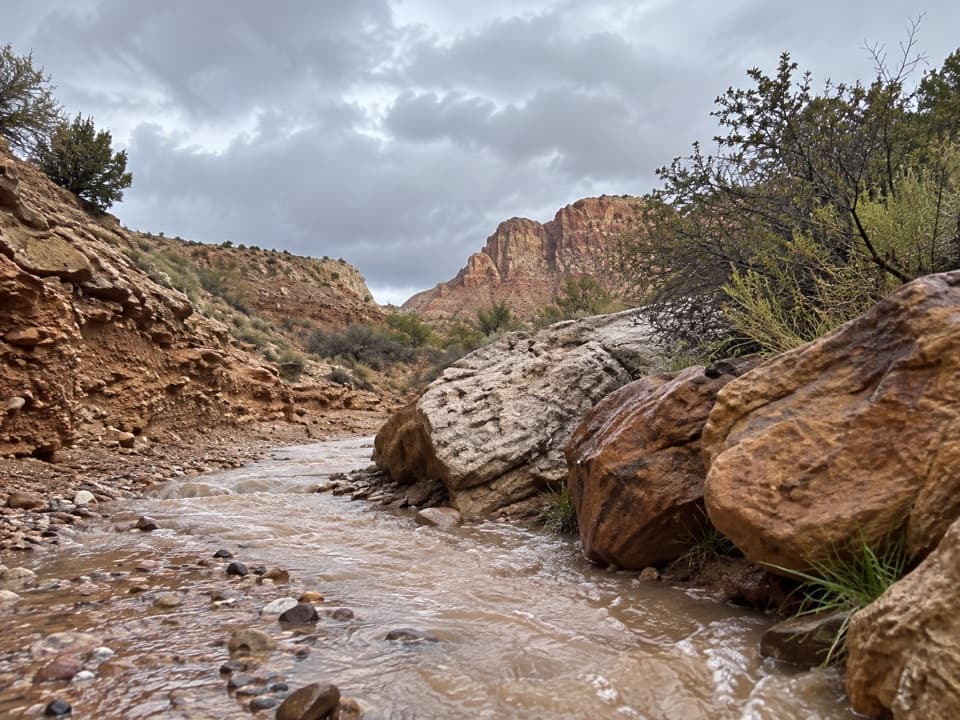 ModerateHuber Wash Trail4.8 mi · 2.5 hr · 2.3 mi awayFollow a sandy wash to petrified logs and a shaded dryfall.
 EasyVirgin River Nature Trail0.1 mi · 9 min · 3.2 mi awayA few level steps put you beside the Virgin River.
 EasyArcheology Trail0.3 mi · 30 min · 3.3 mi awayA short, exposed climb to an ancient storage site and canyon views.
 ModerateWatchman Trail3.2 mi · 2 hr · 3.3 mi awayA rocky canyon climb with a loop and views over Springdale.
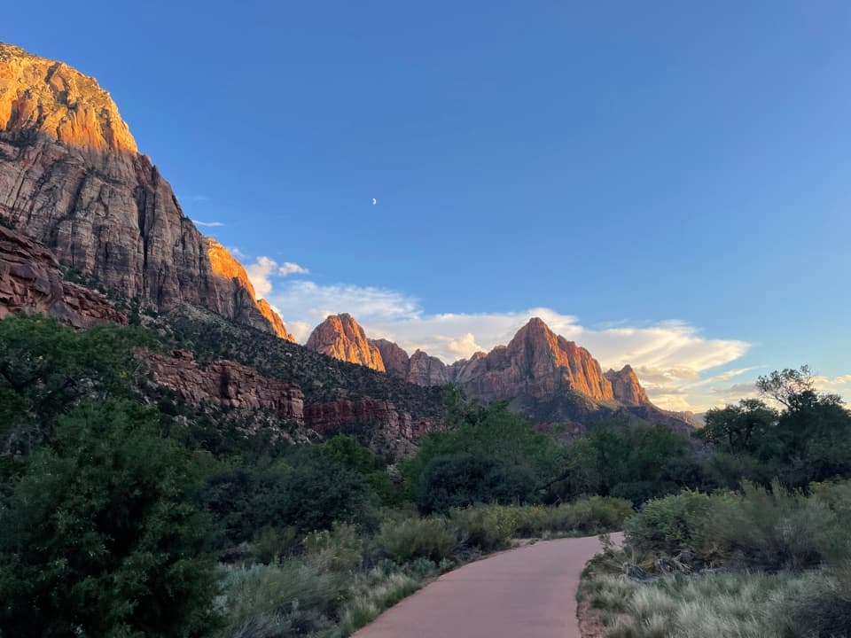 EasyPa'rus Trail1.6 mi · 1 hr · 3.3 mi awayA paved riverside walk with Watchman views and shared bike traffic.
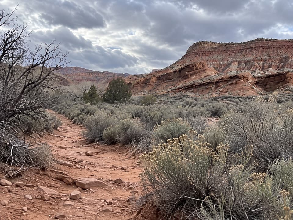 ModerateCoalpits Wash Trail7.2 mi · 5 hr · 3.5 mi awayFollow Coalpits Wash to its spring, then return the same way.
 ModerateScoggins Wash Trail9.4 mi · 4.5 hr · 3.5 mi awayA long sandy approach leads to Scoggins' boulders and a canyon junction.
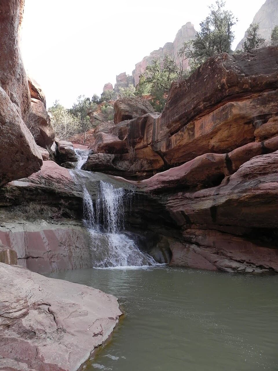 ModerateLower Pine Creek Falls Trail0.7 mi · 45 min · 4.8 mi awayA short creek walk gives way to boulder hopping and shallow wading.
 Campground · 3 mi awayWatchman CampgroundCamp beside Zion’s canyon shuttle, a short walk from the visitor center.
 Visitor center · 3.2 mi awayZion Canyon Visitor CenterGet ranger help and board the canyon shuttle at Stop 1.
 Entrance station · 3.3 mi awaySouth EntranceA working gateway beside the park’s old sandstone-and-log welcome sign.
 Sight · 3.5 mi awayWatchman OverlookThe Watchman fills the view at the end of a rocky climb.
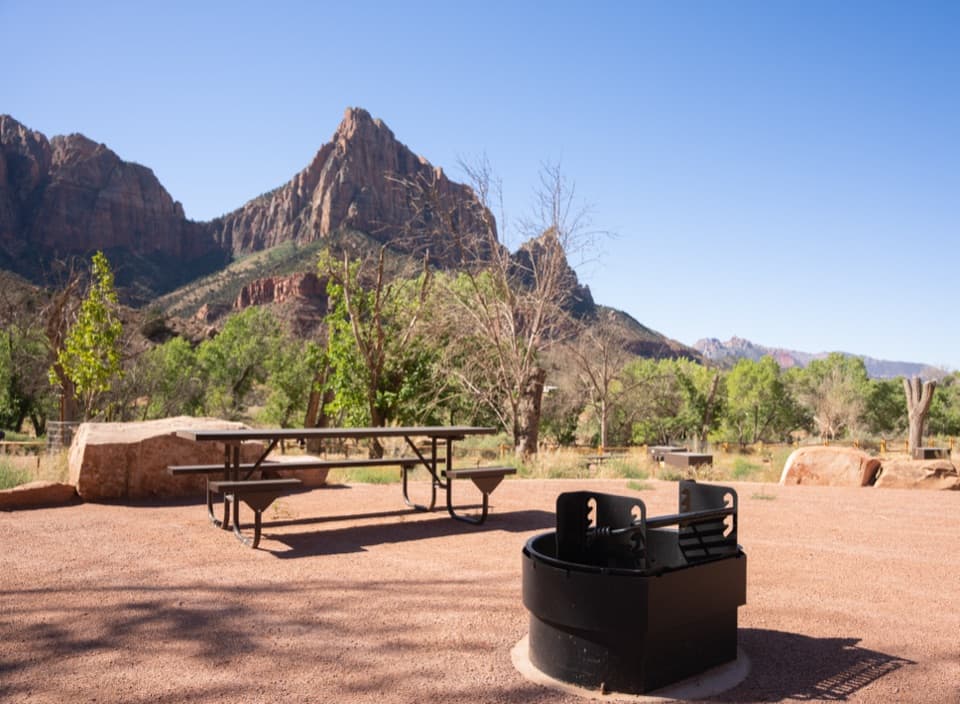 Campground · 3.5 mi awaySouth CampgroundWalk the Pa’rus Trail from camp to the visitor center and shuttle.
 Visitor center · 3.7 mi awayZion Nature CenterHands-on Zion exhibits and ranger programs in a seasonal indoor center.
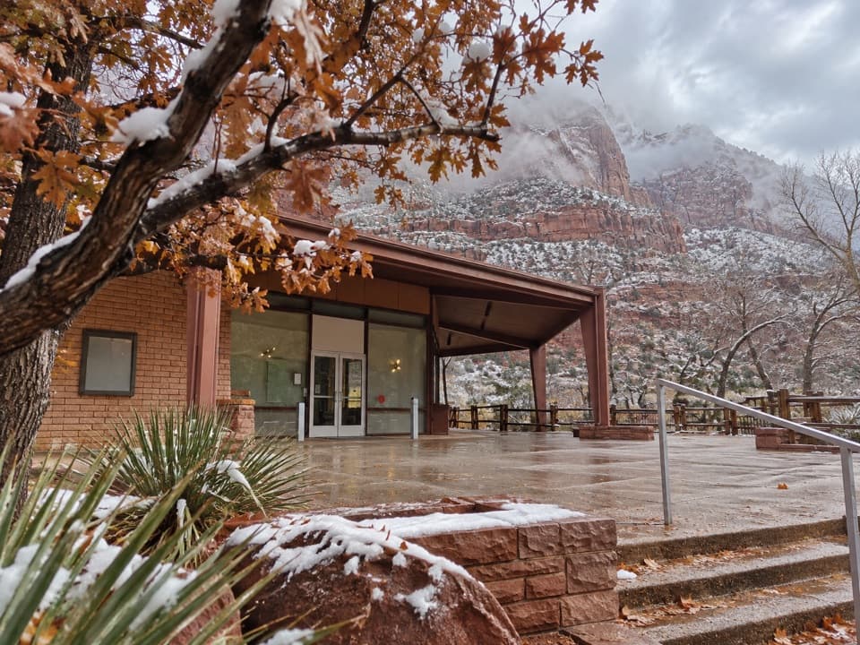 Sight · 4 mi awayZion Human History MuseumA short museum stop for Zion’s human story and canyon views.
 Sight · 4.8 mi awayLower Pine Creek FallsA small waterfall worth the scramble if rough creek walking suits you.
Parkwolf’s Zion ranking
The audio tour guide for the drive, plus offline maps, trails, and wildlife heatmaps for when the signal drops.





