Parking
Use the north-side dirt pull-off on UT-9 west of Rockville, about a quarter-mile east of the Huber Wash crossing. The gated dirt road beside it is the approach; this is a roadside pull-off, not a developed lot.
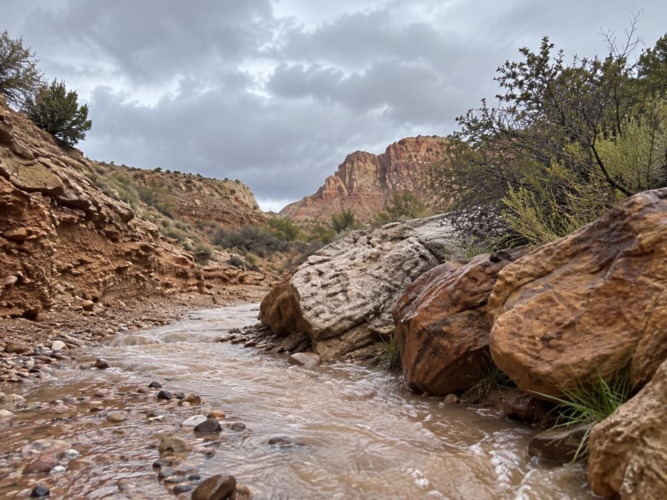
Zion National Park, UT
Follow a sandy wash to petrified logs and a shaded dryfall.
Overview
Map & elevation
Plan your hike

The highest, rockiest slopes around here are a summer buffet for grizzly bears.
Zion Tour Guide
Parkwolf is a GPS audio tour guide for Zion National Park. As you drive, it chimes in with what’s ahead: hidden gems, upcoming stops, history, geology, and wildlife, right through your car’s speakers.
See the Zion audio tourMore stories near here in the app
“Fantastic app with many points of information… It’s great to just turn on while you’re driving and it gives you an audio tour of the national Park. We love it!!!!”


Trail guide
Huber Wash is a 4.8-mile out-and-back from a Route 9 pull-off to the lower dryfall. Allow about 2½ hours for the mostly gradual route, with roughly 400 feet of ascent. The start follows a gated dirt road before the walk settles into the open wash. This is an informal desert route where the wash itself is the path, not a built trail with signs at every turn.
Use the north-side dirt pull-off on UT-9 west of Rockville, about a quarter-mile east of the Huber Wash crossing. Follow the gated road and track north, then continue into the wash. A good map matters: some nearby paths are faint or unmarked. Stay on the wash or other durable ground to protect the living soil crust. There is no drinking water or restroom at the access. Pets are not allowed on Zion trails; day hikers do not need a wilderness permit, but overnight trips do. Groups are limited to 12 people who share an affiliation.
Expect sand, gravel, and occasional rocky steps in the winding drainage. It is usually dry, but rain or snow can leave the wash muddy and slippery. There is very little shade, so this is a tough pick in hot weather. Keep an eye on the channel and side washes so you can follow the right drainage rather than drifting onto another route.
The usual turnaround is a shaded box canyon where seepage feeds hanging plants. Petrified logs are embedded in the rock above the dryfall; leave all wood and stone in place. Sandy patches can reveal tracks from small desert mammals and larger animals, though sightings are never guaranteed.
A separate route leaves the wash below the dryfall, crosses a bench, and climbs to the Chinle Trail by an unexposed Class 3 scramble. That technical connection is not part of this out-and-back. Turn around at the lower dryfall unless you have the route knowledge and scrambling ability for the longer option.
Wildlife
 291 sightingsCalifornia CondorMost seen around 11 AMSighting map
 350 sightingsBighorn SheepMost seen around 7 AMSighting map
 22 sightingsMountain LionMost seen around 7 PMSighting map
 1,326 sightingsMule DeerMost seen around 6 AMSighting map
 23 sightingsGolden EagleMost seen around 10 AMSighting map
 15 sightingsPeregrine FalconMost seen around 7 AMSighting map
Sighting maps show where each species has been reported across Zion. Wildlife moves, so no sighting is guaranteed.
Keep exploring
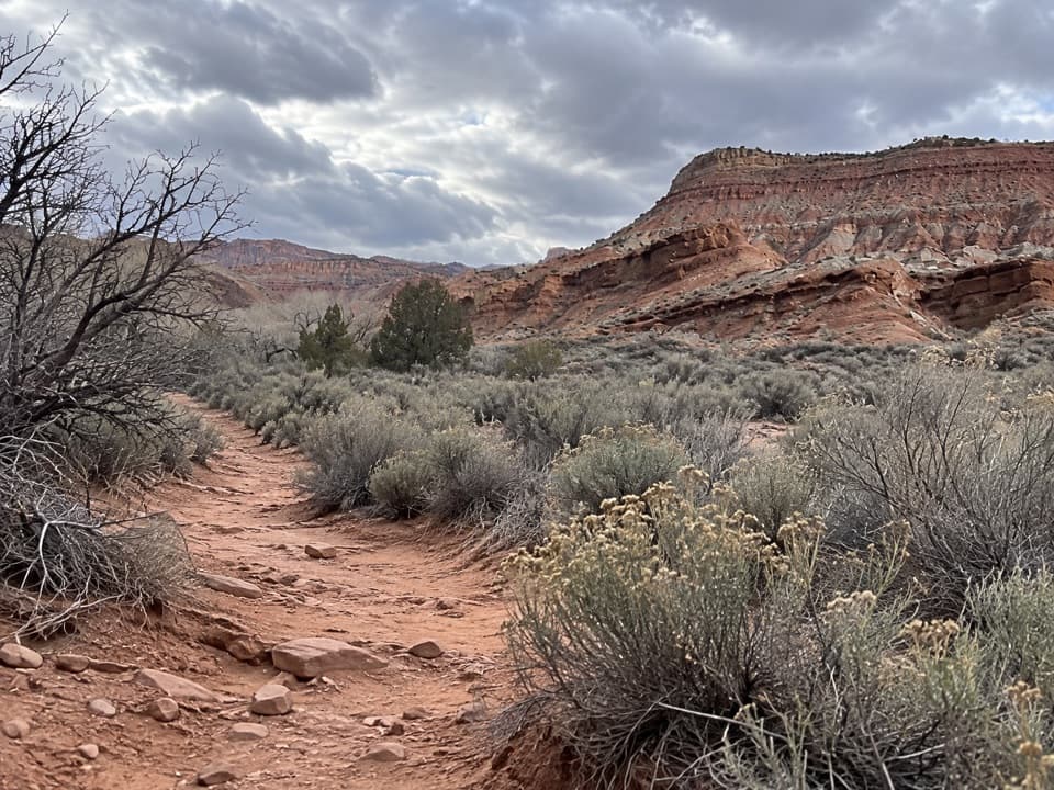 ModerateCoalpits Wash Trail7.2 mi · 5 hr · 1.2 mi awayFollow Coalpits Wash to its spring, then return the same way.
 ModerateScoggins Wash Trail9.4 mi · 4.5 hr · 1.2 mi awayA long sandy approach leads to Scoggins' boulders and a canyon junction.
 ChallengingChinle Trail to Coalpits Spring16.4 mi · 11 hr · 2.3 mi awayPetrified wood, open desert, and a spring at the end.
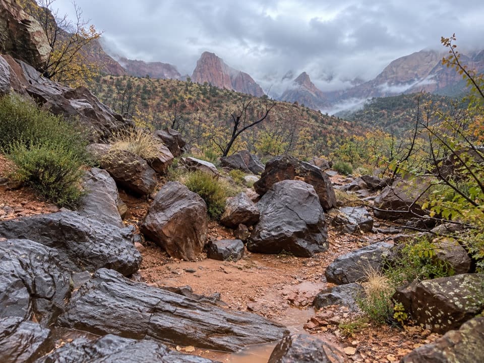 ModerateCrater Hill to Coalpits Wash4.6 mi · 3.5 hr · 4.7 mi awayA faint desert route into upper Coalpits Wash.
 EasyVirgin River Nature Trail0.1 mi · 9 min · 4.7 mi awayA few level steps put you beside the Virgin River.
 EasyArcheology Trail0.3 mi · 30 min · 4.8 mi awayA short, exposed climb to an ancient storage site and canyon views.
 ModerateWatchman Trail3.2 mi · 2 hr · 4.8 mi awayA rocky canyon climb with a loop and views over Springdale.
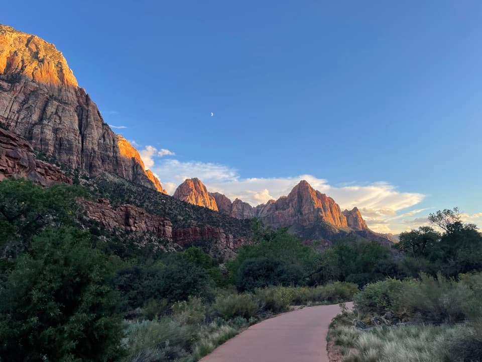 EasyPa'rus Trail1.6 mi · 1 hr · 4.8 mi awayA paved riverside walk with Watchman views and shared bike traffic.
 Campground · 4.6 mi awayWatchman CampgroundCamp beside Zion’s canyon shuttle, a short walk from the visitor center.
 Entrance station · 4.8 mi awaySouth EntranceA working gateway beside the park’s old sandstone-and-log welcome sign.
 Visitor center · 4.8 mi awayZion Canyon Visitor CenterGet ranger help and board the canyon shuttle at Stop 1.
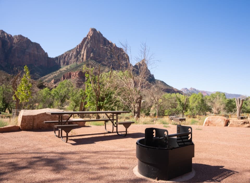 Campground · 5 mi awaySouth CampgroundWalk the Pa’rus Trail from camp to the visitor center and shuttle.
 Sight · 5.2 mi awayWatchman OverlookThe Watchman fills the view at the end of a rocky climb.
 Visitor center · 5.2 mi awayZion Nature CenterHands-on Zion exhibits and ranger programs in a seasonal indoor center.
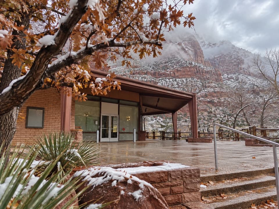 Sight · 5.4 mi awayZion Human History MuseumA short museum stop for Zion’s human story and canyon views.
 Sight · 6.4 mi awayLower Pine Creek FallsA small waterfall worth the scramble if rough creek walking suits you.
Parkwolf’s Zion ranking

The audio tour guide for the drive, plus offline maps, trails, and wildlife heatmaps for when the signal drops.





