Parking
Use the small roadside pullout at Grapevine Trailhead on Kolob Terrace Road, about 7.3 miles north of the junction near Virgin. Capacity and fee details were not established.
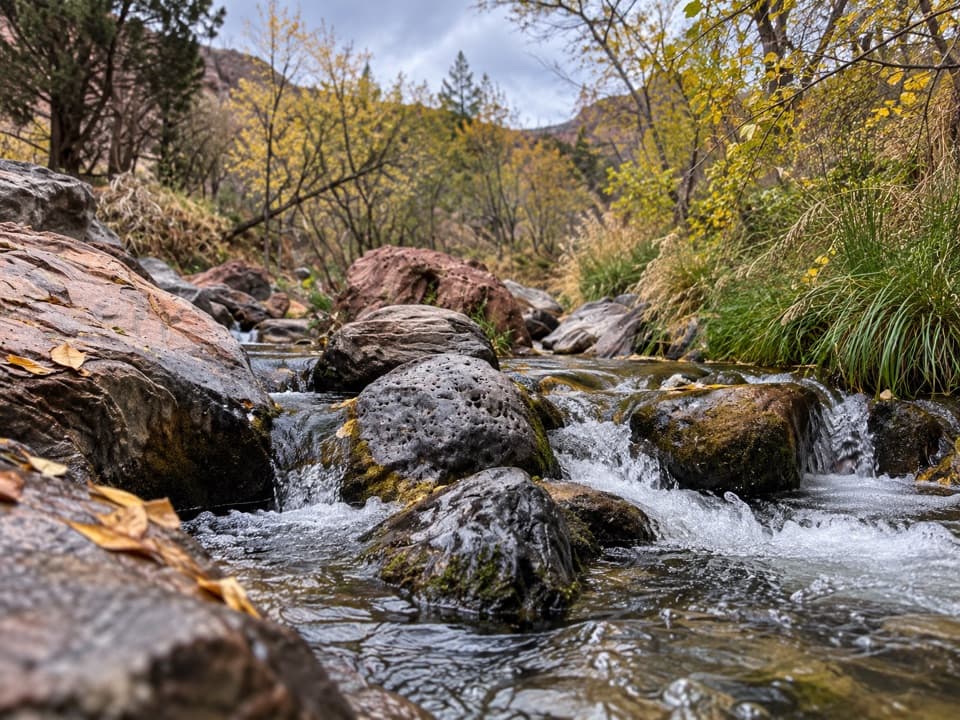
Zion National Park, UT
Loose lava tread drops to a bench above the Left Fork.
Overview
Map & elevation
Plan your hike

The highest, rockiest slopes around here are a summer buffet for grizzly bears.
Zion Tour Guide
Parkwolf is a GPS audio tour guide for Zion National Park. As you drive, it chimes in with what’s ahead: hidden gems, upcoming stops, history, geology, and wildlife, right through your car’s speakers.
See the Zion audio tourRecorded for this trailhead
Grapevine Trailhead“You're nearing Grapevine Trailhead, where a faint path descends to a bench above the Left Fork of North Creek. Allow one to two hours, with a steep climb back up loose lava rock.”
Plays as you drive up to this trailhead in the Parkwolf Zion Tour Guide.
More stories near here in the app
“Fantastic app with many points of information… It’s great to just turn on while you’re driving and it gives you an audio tour of the national Park. We love it!!!!”


Trail guide
Grapevine Trail is a faint, unmaintained out-and-back from Grapevine Trailhead to a flat bench above the Left Fork of North Creek. The mapped path is about 0.75 mile each way, so plan on 1.5 miles round trip and 1–2 hours; it drops roughly 300 feet before you climb back. The creek is the payoff, not a shortcut into the Subway or a full walk to Left Fork Falls.
The path heads east from the pullout, with a short, mostly level start before it reaches the edge above the Left Fork. From there it zigzags down loose lava rock and gravel. Some sections are steep and slippery, the tread fades in places, and prickly pear can grow right on it. The upper slope has little shade, so this short distance still takes steady footing.
At the bottom, a flat bench sits just above the river. Faint paths lead north and south, so keep track of the line you came down and turn back if you lose it. The creek bank is the end of this Grapevine walk; continuing downstream toward Left Fork Falls is a separate, rougher route with route-finding.
The route sits in the Grapevine Wash area, where eruptions roughly 310,000 to 220,000 years ago formed nearby cinder cones and spread lava flows. The hike does not lead to a named cone; its rough slope is a small walk through that volcanic terrain.
The small pullout is on Kolob Terrace Road, about 7.3 miles north of the junction near Virgin. There is no restroom or water fill station at the trailhead. Current access and trail conditions were not confirmed, so check park updates before making the drive. Zion allows pets only on the Pa’rus Trail, and wilderness groups are limited to 12. Check current North Creek water advisories before touching or entering the stream, and do not drink untreated water.
Wildlife
 291 sightingsCalifornia CondorMost seen around 11 AMSighting map
 350 sightingsBighorn SheepMost seen around 7 AMSighting map
 22 sightingsMountain LionMost seen around 7 PMSighting map
 1,326 sightingsMule DeerMost seen around 6 AMSighting map
 23 sightingsGolden EagleMost seen around 10 AMSighting map
 15 sightingsPeregrine FalconMost seen around 7 AMSighting map
Sighting maps show where each species has been reported across Zion. Wildlife moves, so no sighting is guaranteed.
Keep exploring
 ChallengingRight Fork of North Creek to Double Falls11.1 mi · 10.5 hr · 0.3 mi awayA long creek hike ends at a waterfall you can walk behind.
 ChallengingLeft Fork (Subway) Bottom-Up9 mi · 8 hr · 0.8 mi awayA demanding creek scramble to Zion’s sculpted sandstone slot.
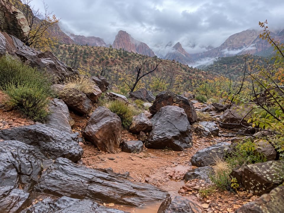 ModerateCrater Hill to Coalpits Wash4.6 mi · 3.5 hr · 3.7 mi awayA faint desert route into upper Coalpits Wash.
 ChallengingHop Valley Trail13 mi · 7 hr · 4.6 mi awayA long, sandy walk through Zion’s open sandstone canyon.
 ModerateConnector Trail5.1 mi · 2.5 hr · 4.6 mi awayOpen meadows and slickrock connect two Kolob trailheads.
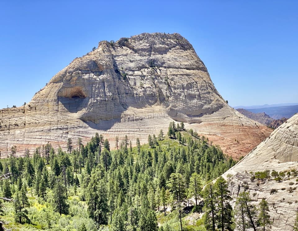 EasyNorthgate Peaks Trail4.2 mi · 2.5 hr · 4.7 mi awayA forest walk to a volcanic-rock perch above Great West Canyon.
 ModerateWildcat Canyon Trail11.6 mi · 6 hr · 4.7 mi awayPine forest and open meadows lead to a broad canyon crossing.
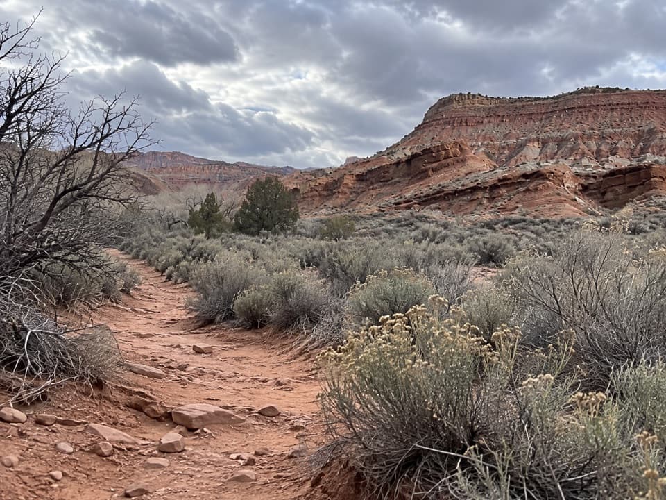 ModerateCoalpits Wash Trail7.2 mi · 5 hr · 7.2 mi awayFollow Coalpits Wash to its spring, then return the same way.
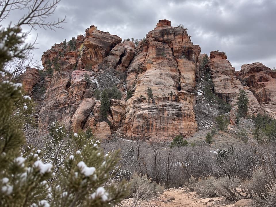 Sight · 2.6 mi awayLambs Knoll Climbing SiteA sandstone crag with a short, exposed scramble to its high point.
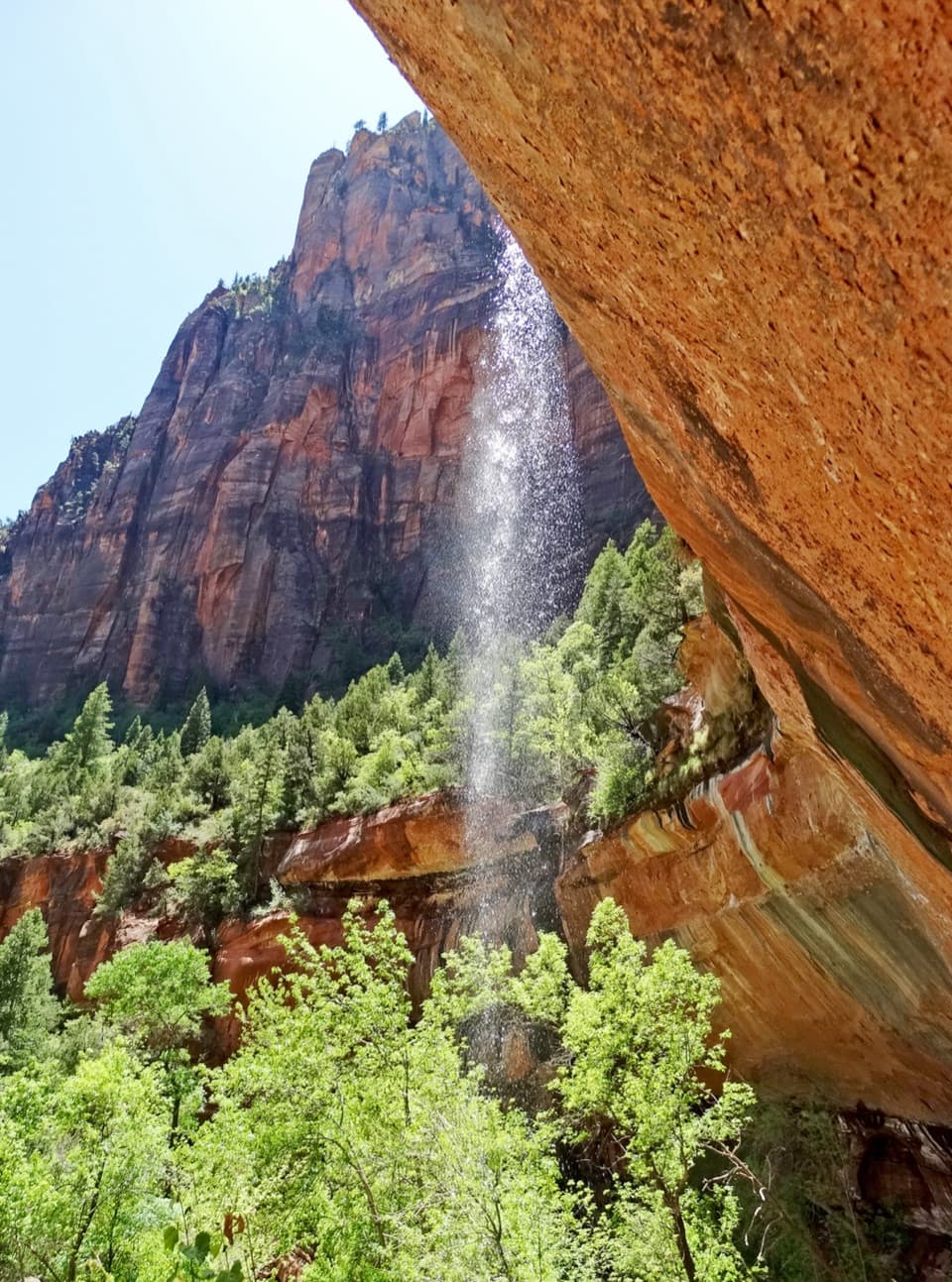 Sight · 7.7 mi awayEmerald PoolsThree cliffside pools, with seasonal falls and a steeper upper climb.
 Entrance station · 7.9 mi awaySouth EntranceA working gateway beside the park’s old sandstone-and-log welcome sign.
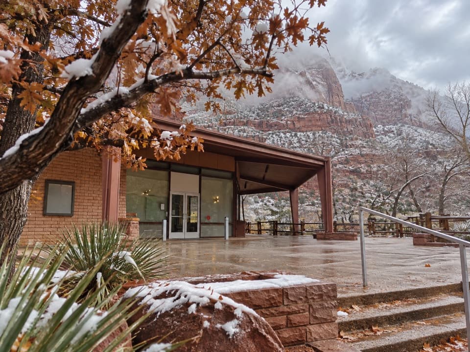 Sight · 8 mi awayZion Human History MuseumA short museum stop for Zion’s human story and canyon views.
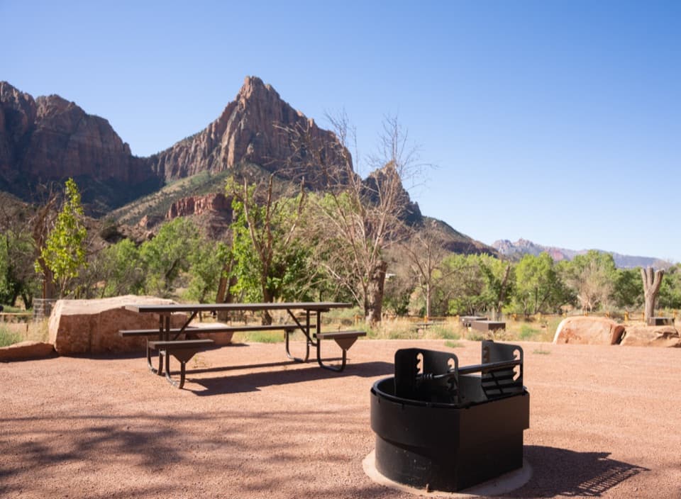 Campground · 8 mi awaySouth CampgroundWalk the Pa’rus Trail from camp to the visitor center and shuttle.
 Visitor center · 8 mi awayZion Nature CenterHands-on Zion exhibits and ranger programs in a seasonal indoor center.
 Visitor center · 8.1 mi awayZion Canyon Visitor CenterGet ranger help and board the canyon shuttle at Stop 1.
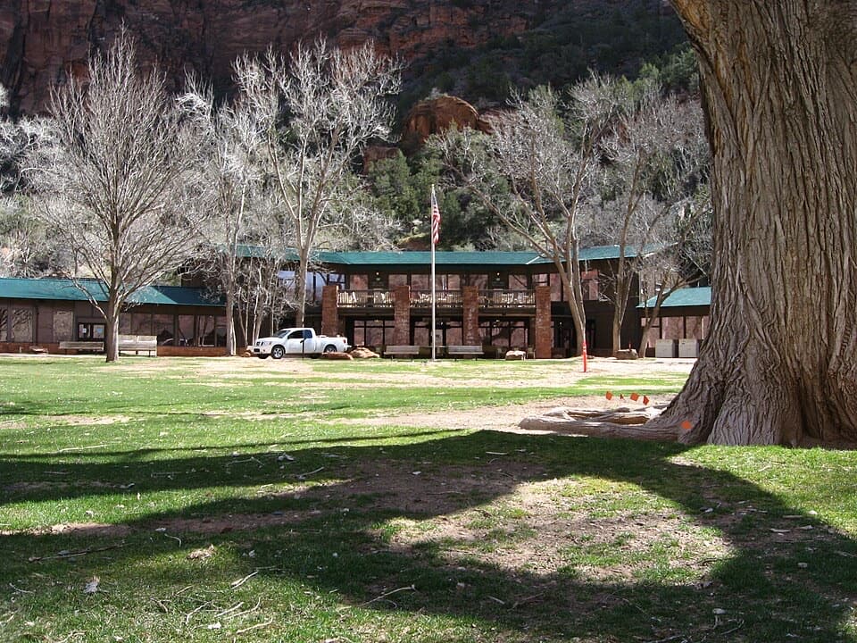 Lodging · 8.1 mi awayZion LodgeThe only in-park lodge, with canyon trails close by.
Parkwolf’s Zion ranking

The audio tour guide for the drive, plus offline maps, trails, and wildlife heatmaps for when the signal drops.




