Parking
Use the signed Right Fork Trailhead on Kolob Terrace Road; a small parking area sits beside the access. No toilets or potable water were verified at the trailhead, so bring all drinking water.

Zion National Park, UT
A long creek hike ends at a waterfall you can walk behind.
Overview
Map & elevation
Plan your hike

The highest, rockiest slopes around here are a summer buffet for grizzly bears.
Zion Tour Guide
Parkwolf is a GPS audio tour guide for Zion National Park. As you drive, it chimes in with what’s ahead: hidden gems, upcoming stops, history, geology, and wildlife, right through your car’s speakers.
See the Zion audio tourRecorded for this trailhead
Right Fork Trailhead and Double Falls“Right Fork Trailhead is ahead, where a remote creek hike leads to Double Falls and an alcove you can walk behind. This is a planned wilderness day: about eleven-point-one miles round trip and nine to twelve hours.”
Plays as you drive up to this trailhead in the Parkwolf Zion Tour Guide.
More stories near here in the app
“Fantastic app with many points of information… It’s great to just turn on while you’re driving and it gives you an audio tour of the national Park. We love it!!!!”


Trail guide
The Right Fork of North Creek to Double Falls is an 11.1-mile out-and-back, starting and ending at the signed Right Fork Trailhead on Kolob Terrace Road. Allow 9–12 hours. This is a remote canyon hike through rough banks and streambed, not a maintained path; it suits people comfortable with route finding, wading and boulder scrambling over a full day. The payoff is a roughly 15-foot waterfall in a shaded alcove. Published distances differ, and the creek route wanders, so leave room for the mileage to vary. The app line follows the creek corridor as a guide; changing pools, brush and stream channels can move the easiest walking line.
From the small parking area, follow a faint track across lava rock and down a steep, loose slope to North Creek. The path drops about 400 feet; mark where you leave the creek for the climb back out, as the exit is easy to miss. Walk roughly 0.6 mile upstream to the Right Fork confluence, then take the branch on your right. The routes braid through gravel, boulders, water and brush; expect wet feet and do not count on one obvious tread.
Near Trail Canyon, the channel opens into a meadow with beaver-made ponds. The more open north side is the clearest line through the brush. After the meadow, most walking is in the water, with detours around boulders and deeper pools. About two miles farther, sandstone walls rise 10–20 feet around a narrow section. A pool there can be nearly dry one year or chest-deep another, and the ledge beyond can be slick.
After about 4.3 miles from the fork, Double Falls spills roughly 15 feet over a ledge. The alcove lets you walk behind the falls. The waterfall traditionally had two main flows; a third appeared after 2010, but the Double Falls name stayed. Stop here for this route. A steep, exposed bypass above the falls leads to more obstacles and Barrier Falls, a much rougher extension outside the mapped trip.
A major fire in June 2006 burned the first two miles of the route, and the early tread can be hard to follow. Farther upstream, remnants of a 2010 landslide lie in the narrow wash. Summer heat is especially tiring on the exposed approach; spring runoff can make crossings colder and deeper, and winter brings cold water and possible ice.
There is a small parking area at the signed Right Fork Trailhead. No toilets or potable water were verified there; carry what you need and do not drink creek water. The bottom-up day hike does not require a wilderness permit; overnight camping does. Pets are not allowed on this trail, though service animals are permitted. Flash floods can turn the wash into a dangerous route: do not enter when storms threaten the drainage.
Wildlife
 291 sightingsCalifornia CondorMost seen around 11 AMSighting map
 350 sightingsBighorn SheepMost seen around 7 AMSighting map
 22 sightingsMountain LionMost seen around 7 PMSighting map
 1,326 sightingsMule DeerMost seen around 6 AMSighting map
 23 sightingsGolden EagleMost seen around 10 AMSighting map
 15 sightingsPeregrine FalconMost seen around 7 AMSighting map
Sighting maps show where each species has been reported across Zion. Wildlife moves, so no sighting is guaranteed.
Keep exploring
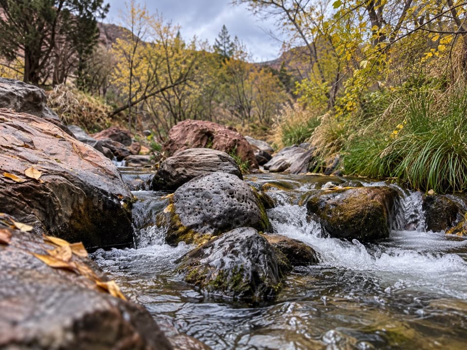 ModerateGrapevine Trail1.5 mi · 1.5 hr · 0.3 mi awayLoose lava tread drops to a bench above the Left Fork.
 ChallengingLeft Fork (Subway) Bottom-Up9 mi · 8 hr · 1.1 mi awayA demanding creek scramble to Zion’s sculpted sandstone slot.
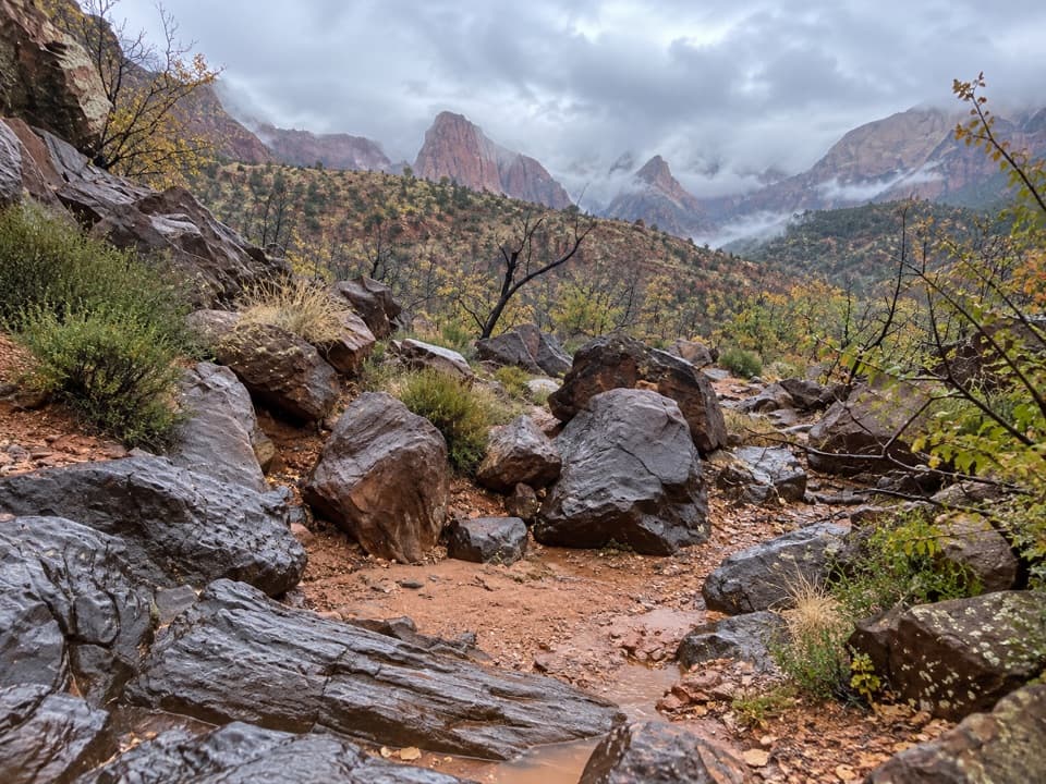 ModerateCrater Hill to Coalpits Wash4.6 mi · 3.5 hr · 3.4 mi awayA faint desert route into upper Coalpits Wash.
 ChallengingHop Valley Trail13 mi · 7 hr · 4.8 mi awayA long, sandy walk through Zion’s open sandstone canyon.
 ModerateConnector Trail5.1 mi · 2.5 hr · 4.9 mi awayOpen meadows and slickrock connect two Kolob trailheads.
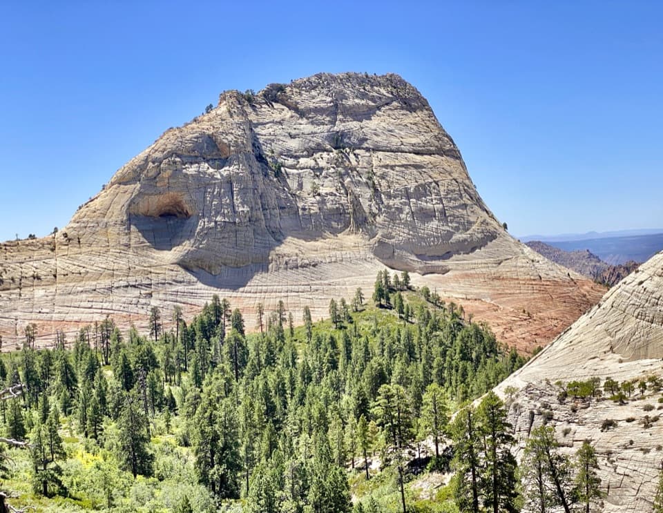 EasyNorthgate Peaks Trail4.2 mi · 2.5 hr · 5 mi awayA forest walk to a volcanic-rock perch above Great West Canyon.
 ModerateWildcat Canyon Trail11.6 mi · 6 hr · 5 mi awayPine forest and open meadows lead to a broad canyon crossing.
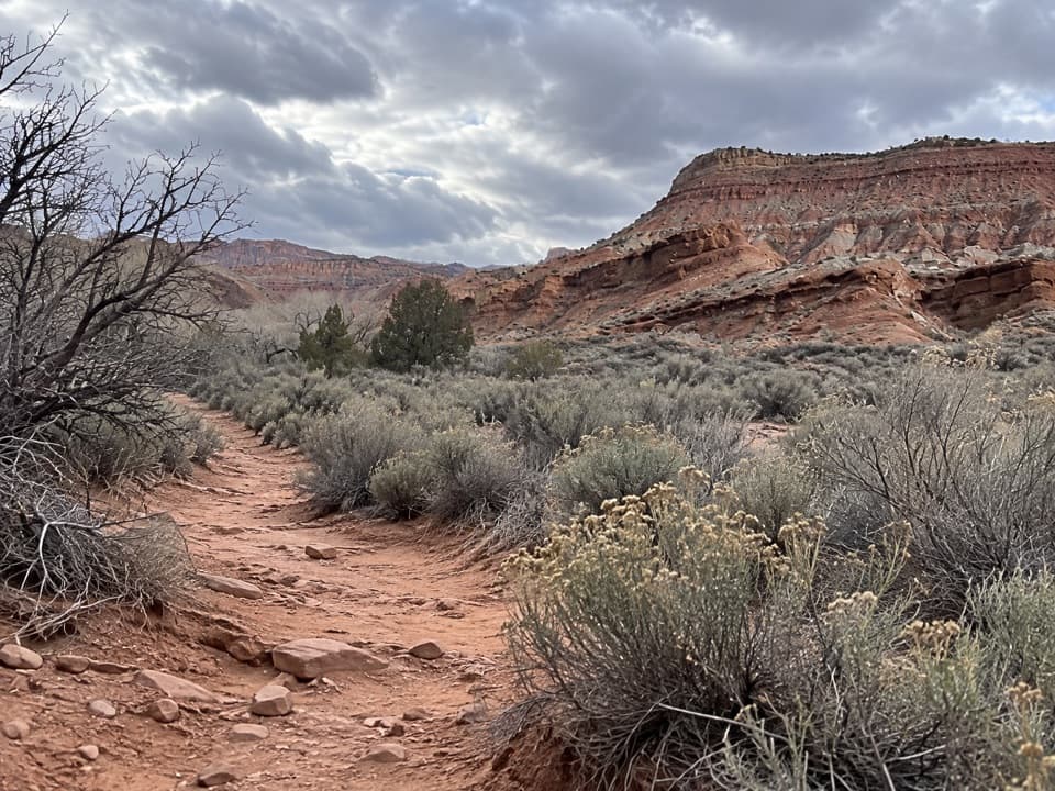 ModerateCoalpits Wash Trail7.2 mi · 5 hr · 7 mi awayFollow Coalpits Wash to its spring, then return the same way.
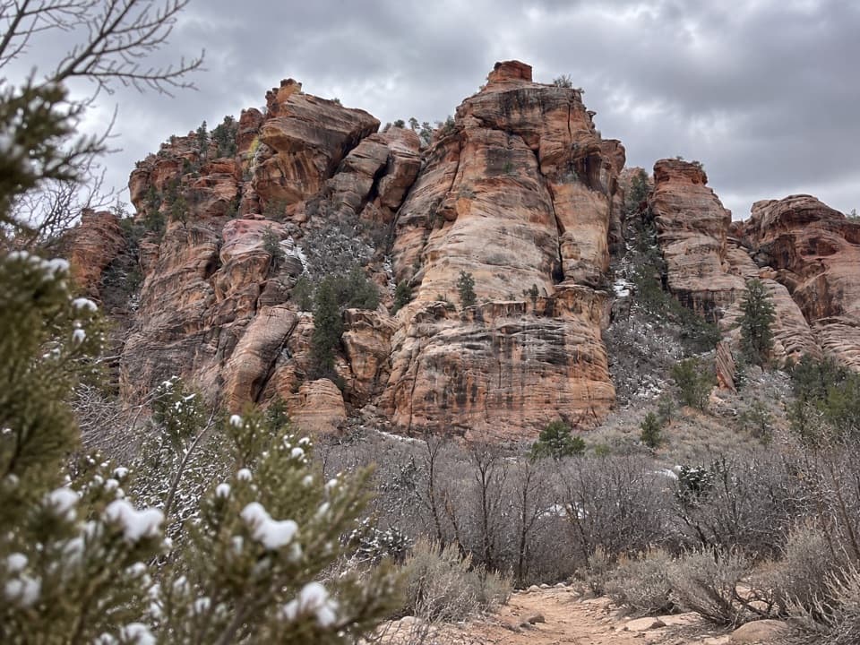 Sight · 2.8 mi awayLambs Knoll Climbing SiteA sandstone crag with a short, exposed scramble to its high point.
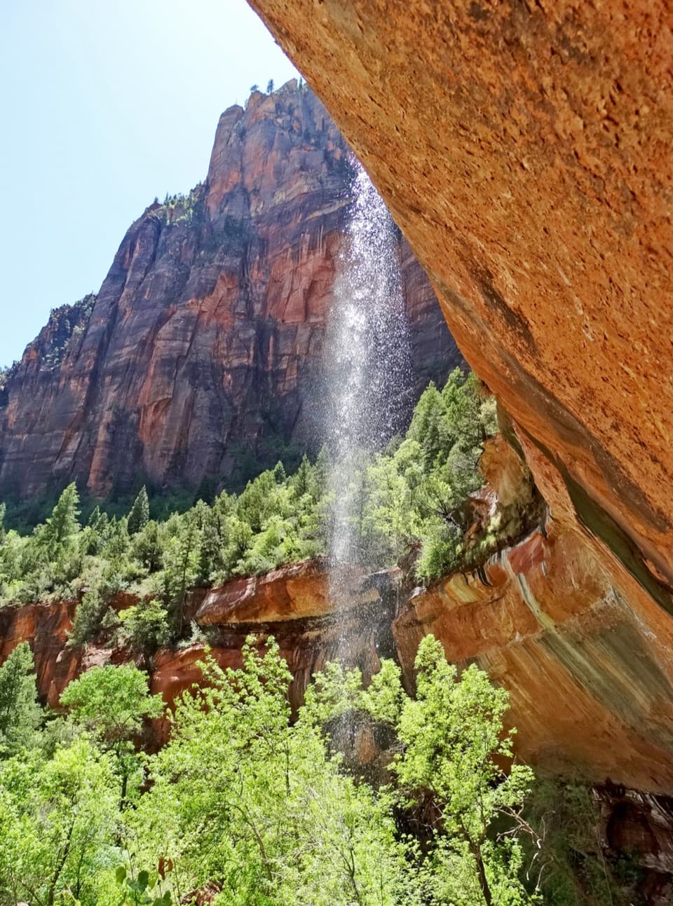 Sight · 7.8 mi awayEmerald PoolsThree cliffside pools, with seasonal falls and a steeper upper climb.
 Entrance station · 7.9 mi awaySouth EntranceA working gateway beside the park’s old sandstone-and-log welcome sign.
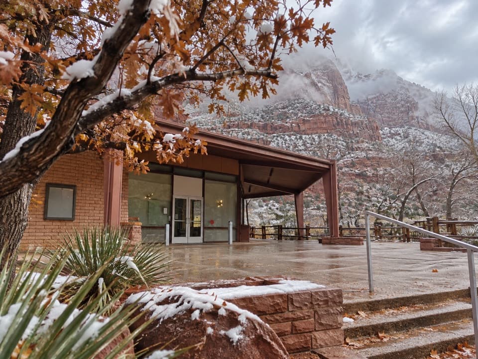 Sight · 8 mi awayZion Human History MuseumA short museum stop for Zion’s human story and canyon views.
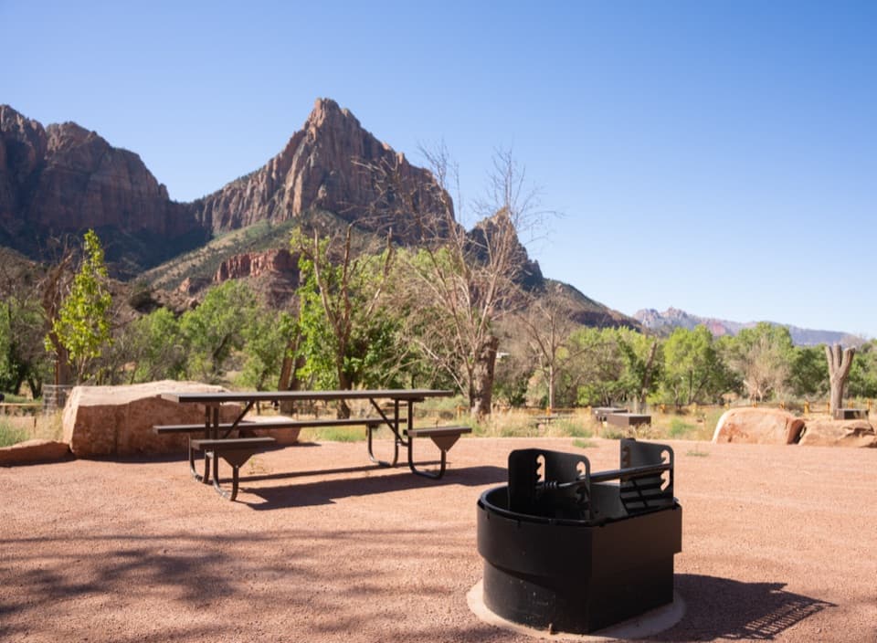 Campground · 8 mi awaySouth CampgroundWalk the Pa’rus Trail from camp to the visitor center and shuttle.
 Visitor center · 8 mi awayZion Nature CenterHands-on Zion exhibits and ranger programs in a seasonal indoor center.
 Visitor center · 8 mi awayZion Canyon Visitor CenterGet ranger help and board the canyon shuttle at Stop 1.
 Campground · 8.2 mi awayWatchman CampgroundCamp beside Zion’s canyon shuttle, a short walk from the visitor center.
Parkwolf’s Zion ranking

The audio tour guide for the drive, plus offline maps, trails, and wildlife heatmaps for when the signal drops.




