Parking
A small roadside lot is reached from ME-3 south of Bar Harbor; the south trailhead is across the road. Cross carefully at the bend.

Acadia National Park, ME
Boardwalks and granite ledges lead to a summit above Seal Harbor.
Overview
Map & elevation
Plan your hike

The highest, rockiest slopes around here are a summer buffet for grizzly bears.
Acadia Tour Guide
Parkwolf is a GPS audio tour guide for Acadia National Park. As you drive, it chimes in with what’s ahead: hidden gems, upcoming stops, history, geology, and wildlife, right through your car’s speakers.
See the Acadia audio tourRecorded for this area
Hunters Beach’s Brookside Walk“Hunters Beach's Cooksey Drive trailhead is ahead, for a short woods walk to the cove where Hunters Brook meets the sea. Allow thirty to sixty minutes for the six-tenths-of-a-mile return walk, including time on the shore.”
Plays on the road 0.4 mi from the trailhead in the Parkwolf Acadia Tour Guide.
More stories near here in the app
“…As we drove through Acadia it gave us a tour, which was really cool. Lots of great info about the parks and how to avoid the crowds. It’s a great travel companion!”


Trail guide
Day Mountain Trail’s southern approach is an approximately 1.6-mile out-and-back: about 0.8 mile to Day Mountain’s 583-foot summit, then the same path back. Allow one to two hours with time for the views. The climb steepens near the top, so this is a short summit hike rather than a flat stroll. The footpath continues down the north side to carriage roads; turn around at the summit for this direct version. The separate Day Mountain Carriage Road Loop is a different, longer outing.
The southern approach begins in the woods, where boardwalks cross wetter ground. Higher up, the tread shifts among forest floor, gravel or crushed stone, and bare granite. Views start appearing through the trees as the grade gets steeper. The route crosses carriage roads four times, so check for the footpath continuing after each crossing; following the broader road can take you onto a longer route.
Granite ledges near the summit look south, east, and west, including toward Seal Harbor. A carriage road curls around the summit, giving you room to pause and look in different directions. For a photo, leave some ledge in the foreground and the harbor or water beyond; that makes the summit setting easier to read than a tight shot of the horizon.
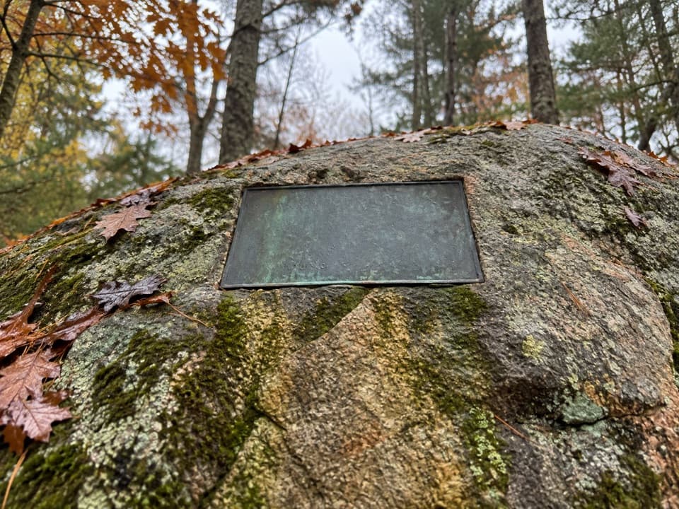
Near the south end, a plaque honors Samuel de Champlain. Its inscription credits him with giving Mount Desert Island its name, a useful detail to catch on the way up or back down.
The small roadside lot is reached from ME-3 south of Bar Harbor; the trailhead is across the road. Cross carefully where the bend limits sight lines. The upper trail is uneven over granite and ledges. Dogs are allowed on a leash no longer than six feet.
Wildlife
 131 sightingsBald EagleMost seen around noonSighting map
 21 sightingsPeregrine FalconMost seen around 10 AMSighting map
 403 sightingsWhite-tailed DeerMost seen around 7 PMSighting map
 307 sightingsPorcupineMost seen around 7 PMSighting map
 205 sightingsBeaverMost seen around 7 PMSighting map
 34 sightingsMinkMost seen around 7 PMSighting map
Sighting maps show where each species has been reported across Acadia. Wildlife moves, so no sighting is guaranteed.
Keep exploring
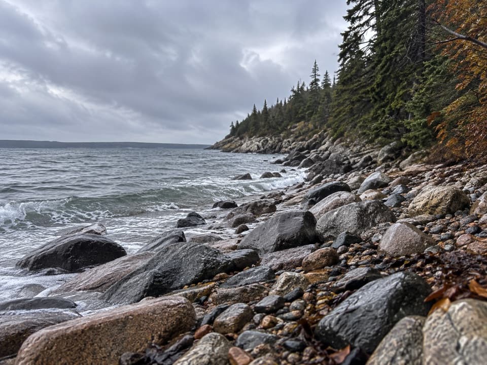 EasyHunters Beach Trail0.6 mi · 45 min · 0.4 mi awayA short woodland walk to a brook-cut cobble cove.
 ChallengingCadillac Mountain South Ridge Trail7.8 mi · 5 hr · 1.1 mi awayA long forest climb opens onto a granite ridge above the ocean.
 ModerateTriad Trail1 mi · 1 hr · 1.2 mi awayGranite footing, a wooded summit, and a century-old trail marker.
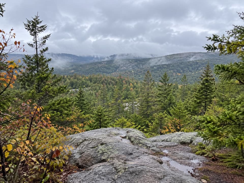 ModerateHunters Brook Trail2.7 mi · 2 hr · 1.3 mi awayBrook crossings to iron-pinned steps and a carriage-road finish.
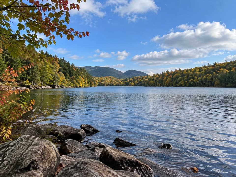 EasyQuarry Trail0.5 mi · 18 min · 1.4 mi awayA short wooded link from Blackwoods to Otter Cove’s tidal edge.
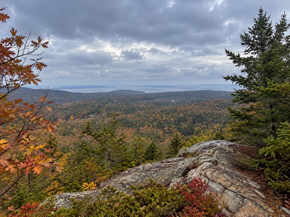 EasyEagle’s Crag Trail0.3 mi · 20 min · 1.8 mi awayA short granite detour with a view across Mount Desert Island.
 EasyOtter Cove Trail0.4 mi · 15 min · 1.8 mi awayA short cove link from the causeway to Otter Creek.
 EasySeaside Path1.4 mi · 48 min · 1.8 mi awayA gentle woodland link beneath an old stone bridge.
 Beach · 0.5 mi awayHunters BeachA short woods walk ends where a brook cuts through the cobbles.
 Beach · 0.8 mi awayLittle Hunters BeachHear the surf roll Acadia's rounded cobbles.
 Sight · 1.1 mi awayWildwood StablesHorse-drawn tours put Acadia’s carriage roads at a slower pace.
 Campground · 1.2 mi awayBlackwoods CampgroundA wooded base with a short walk to the ocean.
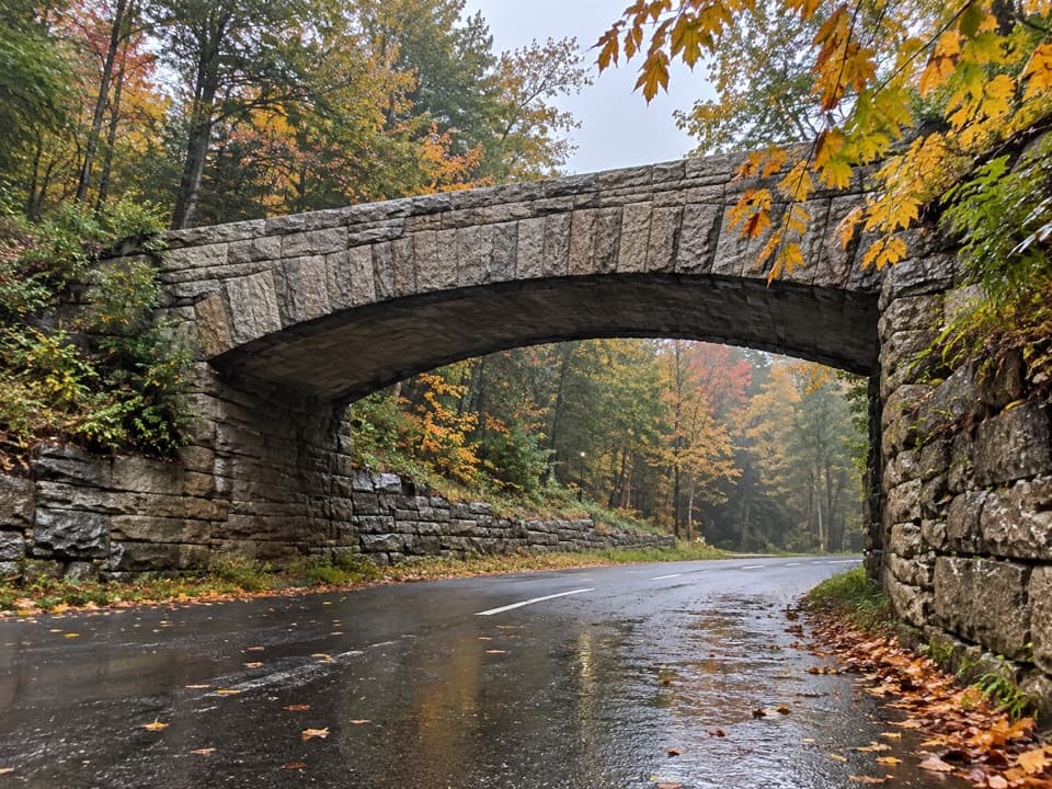 Sight · 1.2 mi awayTriad-Day Mountain BridgeA 1940 arch caps the final link in the carriage-road network.
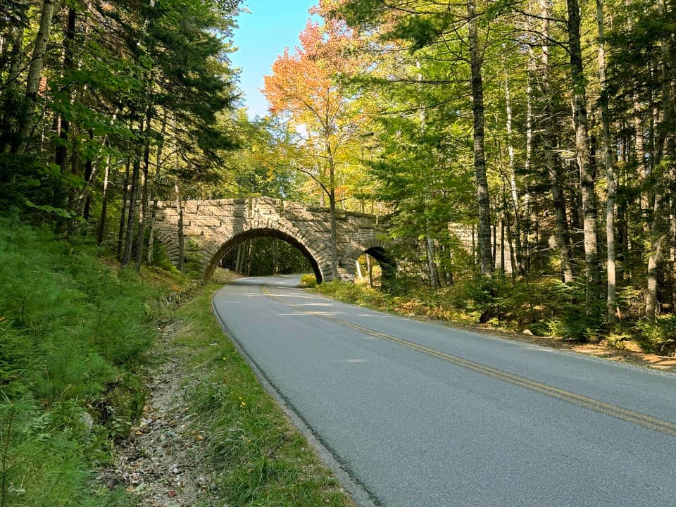 Sight · 1.2 mi awayStanley Brook BridgeA 1933 triple-arch bridge spans a road, brook and trail.
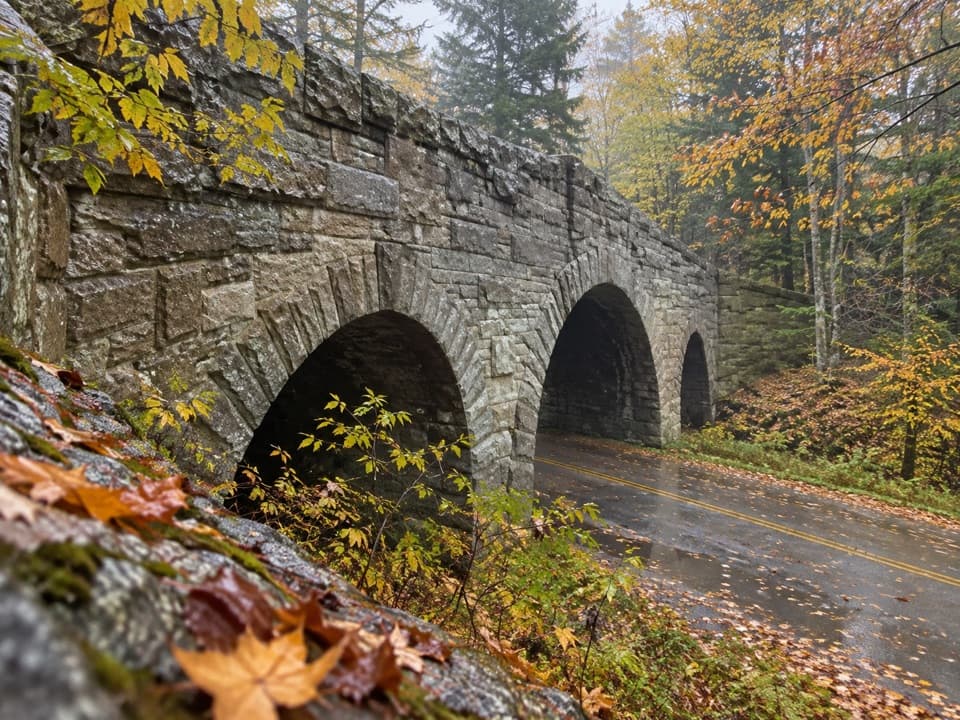 Sight · 1.3 mi awayJordan Pond Road BridgeA historic granite arch on Acadia's carriage roads.
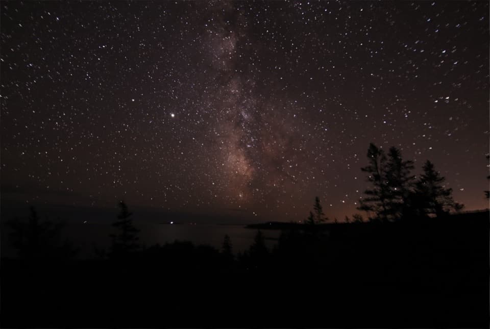 Sight · 1.8 mi awayOtter PointGo in May or September to watch songbirds move through.
Parkwolf’s Acadia ranking

The audio tour guide for the drive, plus offline maps, trails, and wildlife heatmaps for when the signal drops.




