Hunters Beach Trail in Acadia National Park

Acadia National Park, ME

Hunters Beach Trail

A short woodland walk to a brook-cut cobble cove.

Length
0.6mi
Time
45min
Elev. change
68ft
Difficulty
Easy
  • Dogs allowed
  • High point 79 ft
  • #46 of 142 in Acadia

Hear the audio tour

Hunters Beach’s Brookside Walk

Overview

About Hunters Beach Trail

Why go

  • A shaded forest walk reaches the cove where a brook spills over cobbles to the sea.
  • A short, relatively quiet coastal stop without a summit climb.

Heads up

  • Loose beach cobbles and an uncertain brook crossing make the final approach uneven.

Map & elevation

The route

Loading the Acadia map
Full map
Elevation11–79 ft
TrailheadHunters Beach Trailhead, Cooksey Drive44.30254, -68.22111
Keep this map with you offline in the Parkwolf app

Plan your hike

Before you go

Parking

Use the limited roadside parking at the Hunters Beach Trailhead on Cooksey Drive. A 12-car lot on Route 3 serves the wider Day Mountain and Hunters Cliffs network, but its direct connector to the beach-only route is unclear; follow posted signs.


Safety

The final approach crosses Hunters Brook and ends on loose, rounded cobbles. Wet rocks can be slippery, and current bridge status at the brook is unconfirmed.

4 active Acadia alerts

  • CautionAvoid water contact at Sand Beach LagoonDo not swim at Sand Beach Lagoon. - Bacterial levels have exceeded public-health standards, so the NPS has posted a Public Health Advisory.Official details
  • ClosureSchoodic Mountain Road closed for repairsSchoodic Mountain Road is closed from Schoodic Loop Road to the summit of Schoodic Head. - The closure began August 31 for resurfacing, regrading, and ditching.Official details
See all 4 alerts
A park ranger sits on a dash-mounted phone, talking, as Parkwolf’s Tour Guide plays “Army Cutworm Moths: A Grizzly Bear Buffet” on Grand Loop Road below Dunraven Pass in Yellowstone
Parkwolf Tour GuideThe highest, rockiest slopes around here are a summer buffet for grizzly bears.

Acadia Tour Guide

Your drive to Hunters Beach Trail, narrated.

Parkwolf is a GPS audio tour guide for Acadia National Park. As you drive, it chimes in with what’s ahead: hidden gems, upcoming stops, history, geology, and wildlife, right through your car’s speakers.

Recorded for this trailhead

Hunters Beach’s Brookside Walk
0:00 / 0:22
“Hunters Beach's Cooksey Drive trailhead is ahead, for a short woods walk to the cove where Hunters Brook meets the sea. Allow thirty to sixty minutes for the six-tenths-of-a-mile return walk, including time on the shore.”

Plays as you drive up to this trailhead in the Parkwolf Acadia Tour Guide.

More stories near here in the app

  • Hunters Brook’s Woodland Through-Route
  • Little Hunters Beach’s Cobble Sounds
  • Cadillac Mountain’s South Ridge
  • Blackwoods Campground and the Coast
  • 116 audio storiesacross Acadia’s roads, triggered by GPS as you drive
  • Wildlife heatmapsfor Bald Eagle, Peregrine Falcon, White-tailed Deer, and 13 more
  • Works offlinemaps, 142 trails, 72 places, and audio download before you lose signal
  • CarPlay readysimple controls built for the drive
★★★★★
“…As we drove through Acadia it gave us a tour, which was really cool. Lots of great info about the parks and how to avoid the crowds. It’s a great travel companion!”
MyMysteryChicaApp Store review
Download Parkwolf on the App StoreGet Parkwolf on Google Play

4.7 from 8,600+ ratings

Trail guide

Hiking Hunters Beach Trail

A quick walk to a rocky coveHunters Beach Trail is a short out-and-back from Cooksey Drive to the cove where Hunters Brook…

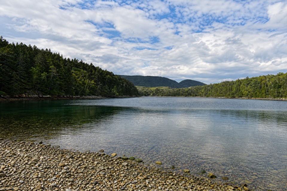
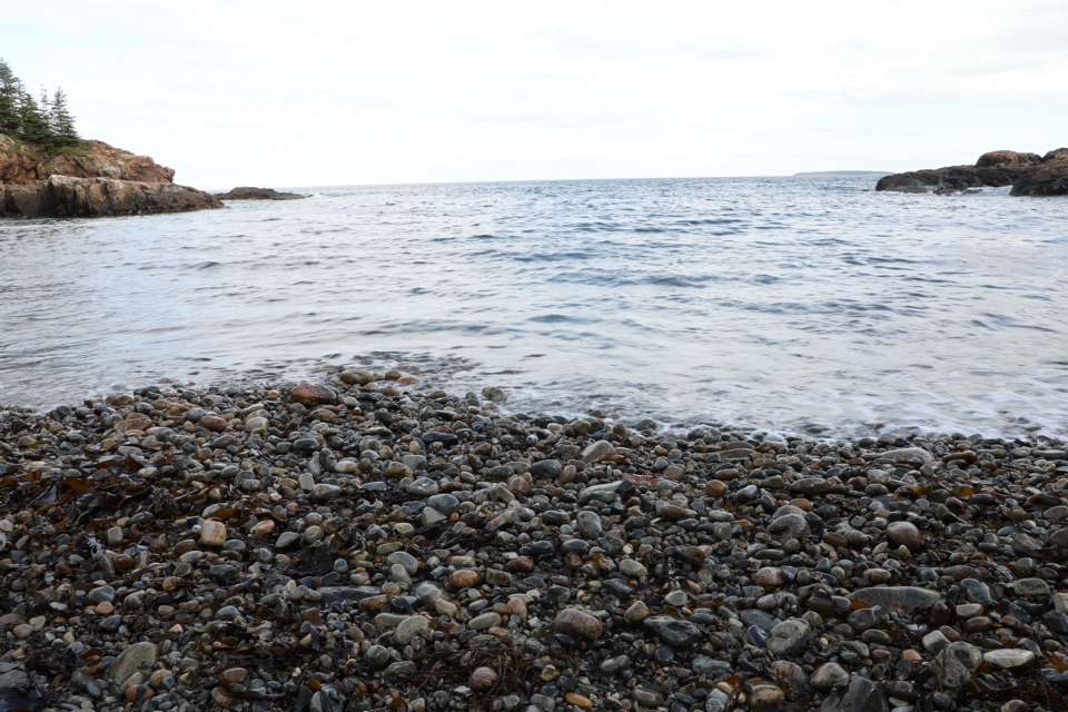
Hunters Beach Trail is a short out-and-back from Cooksey Drive to the cove where Hunters Brook reaches the sea. Allow about 0.6 miles round trip and 30–60 minutes, including time on the beach. The mostly easy walk through woods ends at a quiet shore of rounded cobbles, not sand.

Through the woodsThe path drops from the road into thick forest, with young pines along the way, then follows…

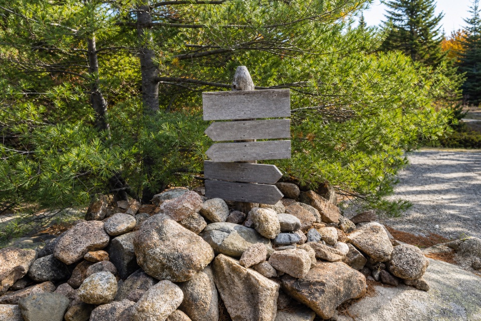
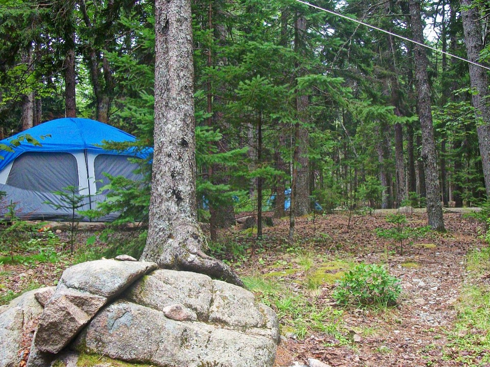
The path drops from the road into thick forest, with young pines along the way, then follows Hunters Brook toward the coast. The short beach walk is separate from the longer routes over Hunters Cliffs and Day Mountain. Near the shore, the brook crosses the approach. Whether a bridge now spans it is unclear, so expect uneven footing and judge the crossing before continuing.

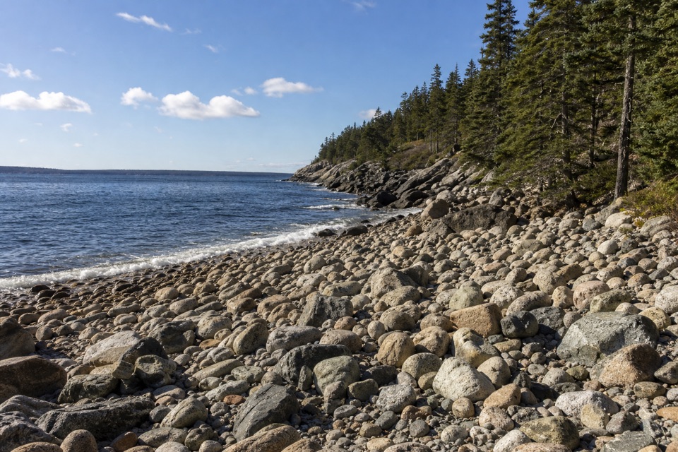
At the beachHunters Brook threads between surf-rounded stones, from large boulders to small cobbles, before…

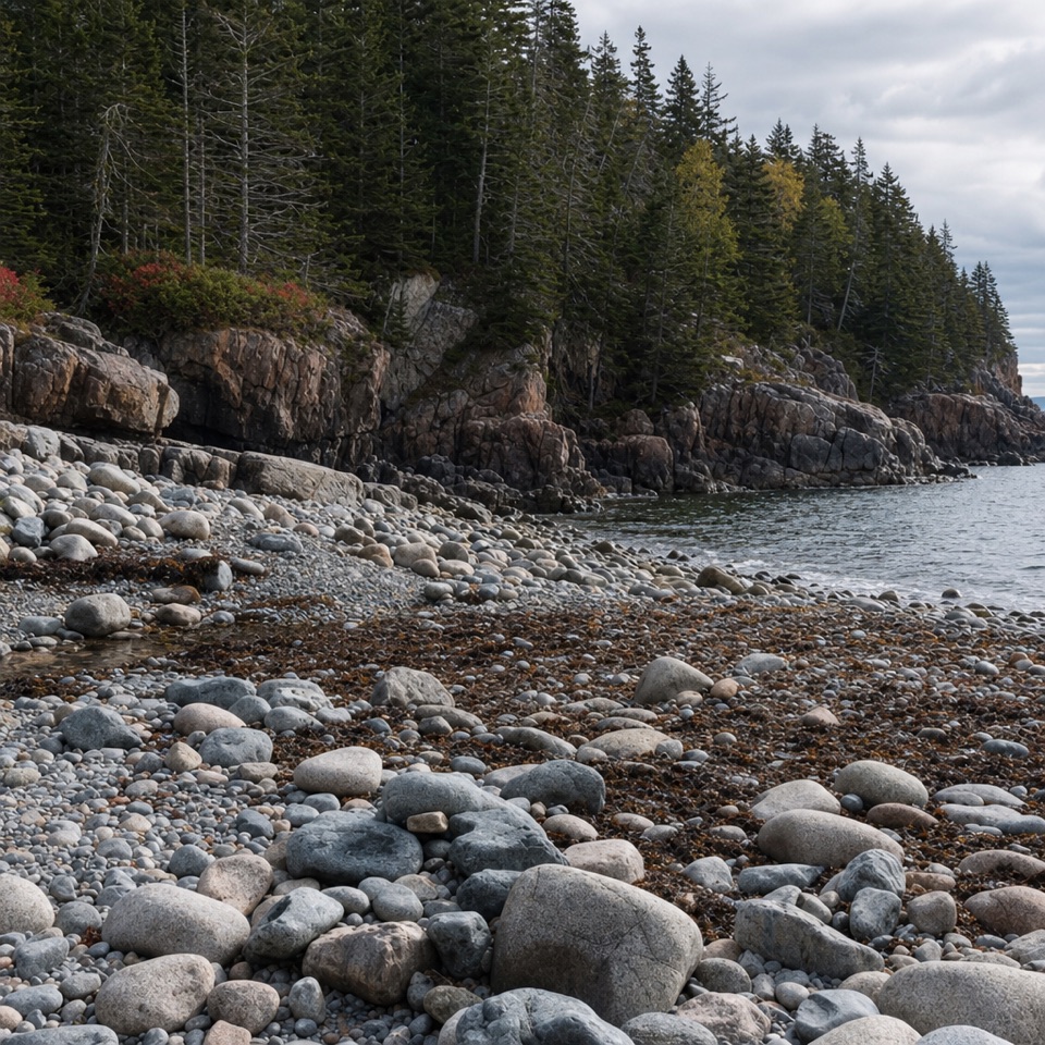
Hunters Brook threads between surf-rounded stones, from large boulders to small cobbles, before reaching the ocean. The loose rocks are awkward underfoot. From the cove, frame the stream running through the stones toward the water for a photo.

Start, parking and petsThe trailhead is on Cooksey Drive, just outside the park boundary; the path enters Acadia.

The trailhead is on Cooksey Drive, just outside the park boundary; the path enters Acadia. Roadside parking at the original start is limited. A 12-car lot on Route 3 serves the wider Day Mountain and Hunters Cliffs network, but its direct connection to this short beach walk is unclear; follow current trail signs if using it. Dogs are allowed on most Acadia trails and must stay on a leash no longer than six feet.

Wildlife

Wildlife in Acadia

All Acadia wildlife maps

Sighting maps show where each species has been reported across Acadia. Wildlife moves, so no sighting is guaranteed.

Keep exploring

Near Hunters Beach Trail

See it all on the map

Trails that start nearby

Places near the trailhead

Parkwolf’s Acadia ranking

Top-rated trails in Acadia

All 142 trails
  1. 1Beehive Loop TrailChallenging · 1.4 mi
  2. 2Precipice TrailChallenging · 2.1 mi
  3. 3Jordan Pond PathModerate · 3.3 mi
  4. 4Bubbles TrailModerate · 1.5 mi
  5. 5Ocean PathEasy · 2.2 mi
  6. 6Cadillac Mountain South Ridge TrailChallenging · 7.8 mi

Take Parkwolf to Acadia.

The audio tour guide for the drive, plus offline maps, trails, and wildlife heatmaps for when the signal drops.

4.7 from 8,600+ ratings

Download Parkwolf on the App StoreGet Parkwolf on Google Play