Map
Where it is

The highest, rockiest slopes around here are a summer buffet for grizzly bears.
Arches Tour Guide
Your drive to Salt Valley Overlook, narrated.
Parkwolf is a GPS audio tour guide for Arches National Park. As you drive, it chimes in with what’s ahead: hidden gems, upcoming stops, history, geology, and wildlife, right through your car’s speakers.
See the Arches audio tourRecorded for this place
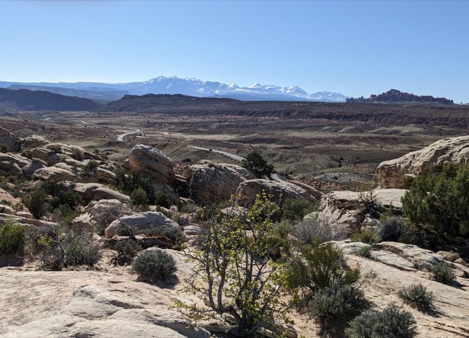
Salt Valley Overlook“Up ahead is Salt Valley Overlook, with a broad view across pale sandstone and red and gray ridges. Give it a few minutes if you'd like to see the landscape on a bigger scale.”
Plays as you drive up to Salt Valley Overlook in the Parkwolf Arches Tour Guide.
More stories near here in the app
- Fiery Furnace Viewpoint
- Why the Rocks Are Red
- Pine Nuts for Later
- The Desert's Living Skin
- 35 audio storiesacross Arches’s roads, triggered by GPS as you drive
- Wildlife heatmapsfor Bighorn Sheep, Pronghorn, Raven, and 13 more
- Works offlinemaps, 28 trails, 41 places, and audio download before you lose signal
- CarPlay readysimple controls built for the drive
“I can’t believe how helpful this app is and how interesting the information is for each highlight along the Arches Scenic Drive! This is the first park I’ve used it in.”


Guide
More about Salt Valley Overlook
Stop for the open valleySalt Valley Overlook is a roadside viewpoint on a short spur off Arches Scenic Drive, around…
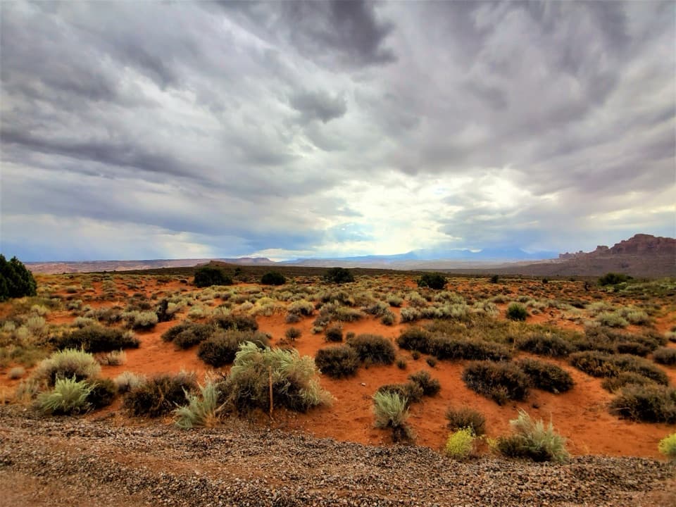
Salt Valley Overlook is a roadside viewpoint on a short spur off Arches Scenic Drive, around mile 14.7. It looks across lower Salt Valley toward the La Sal Mountains, opening a broad desert-basin view in a park better known for its arches. It is a quick scenic pause if you are already driving the park; choose it for the change of scale rather than another close look at an arch. The roadside parking area is small, and parking is limited throughout Arches, so keep the stop flexible. Treat it as a view stop, not a supply stop: the park lists water at the Visitor Center and Devils Garden Campground, so carry what you need.
Frame the basinPale sandstone slabs and junipers sit in the foreground, with red and gray ridges stretching…
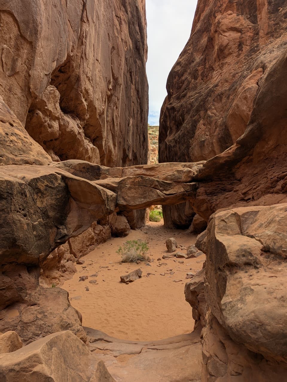
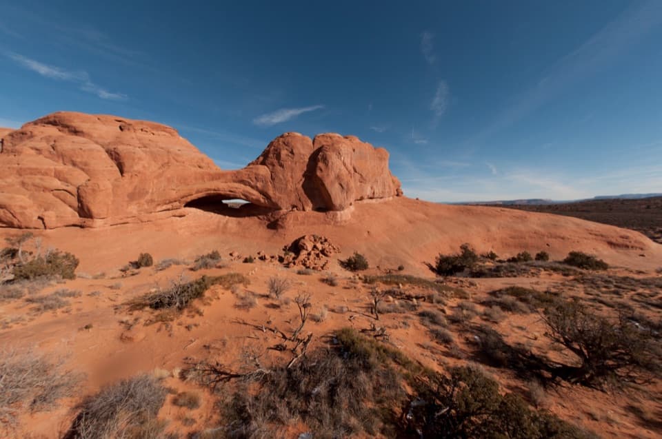
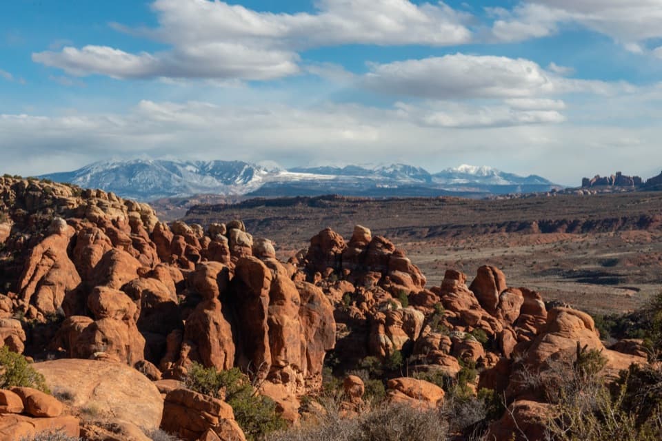
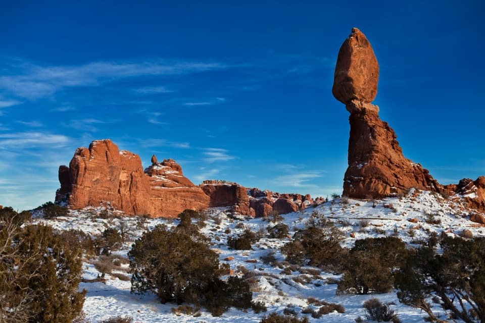
Pale sandstone slabs and junipers sit in the foreground, with red and gray ridges stretching across the valley and the snow-covered La Sal Mountains on the skyline. For a photo, keep some of the rocky foreground and the road crossing the basin in the frame; they give the distant peaks depth and show the scale of the valley.
A landscape shaped from belowArches’ geology starts with a thick salt layer deep underground.
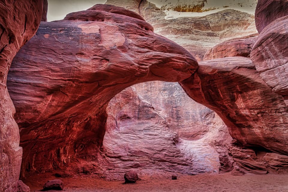
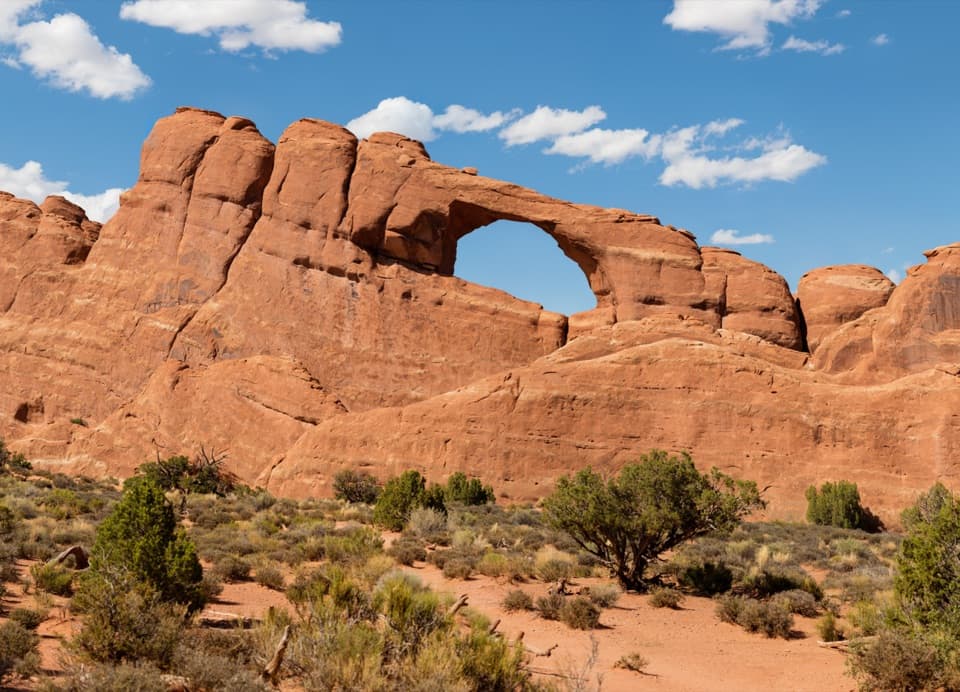
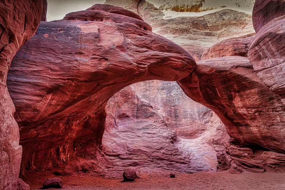
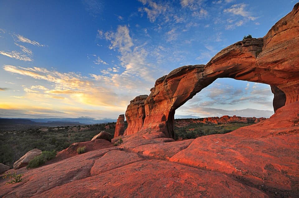
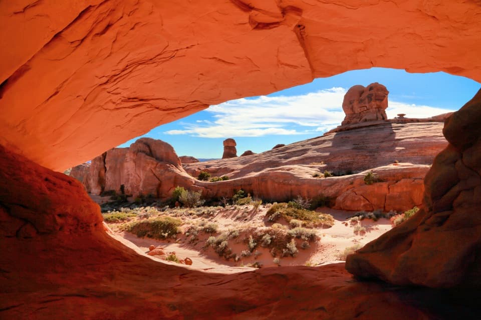
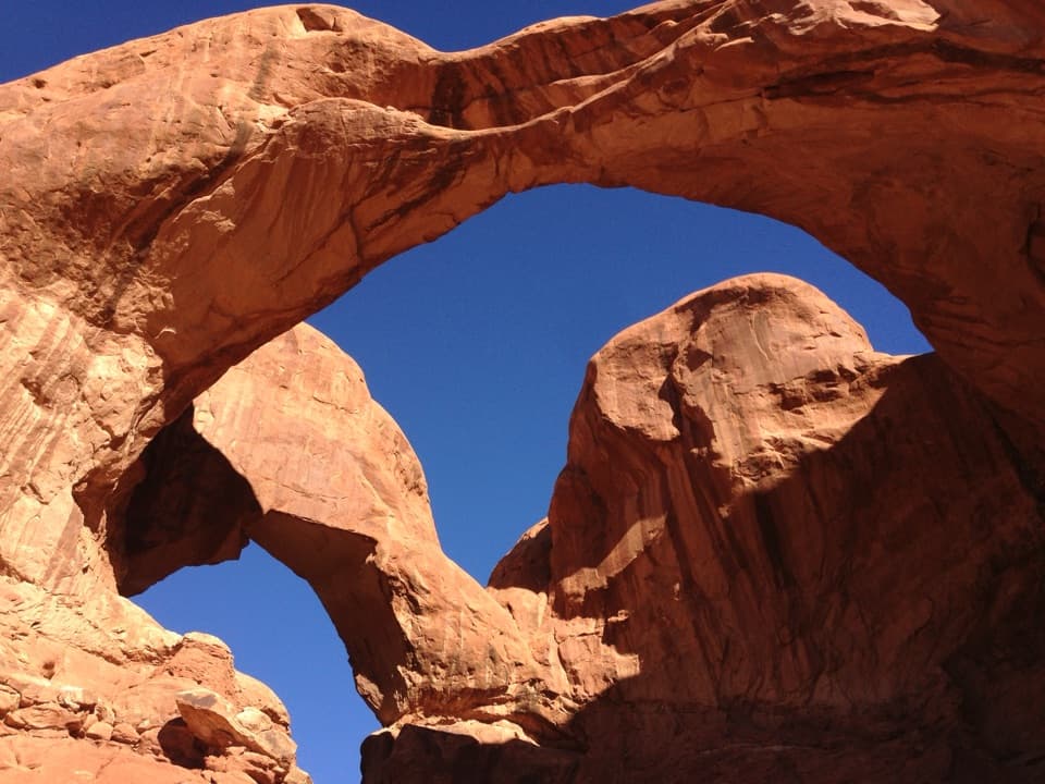
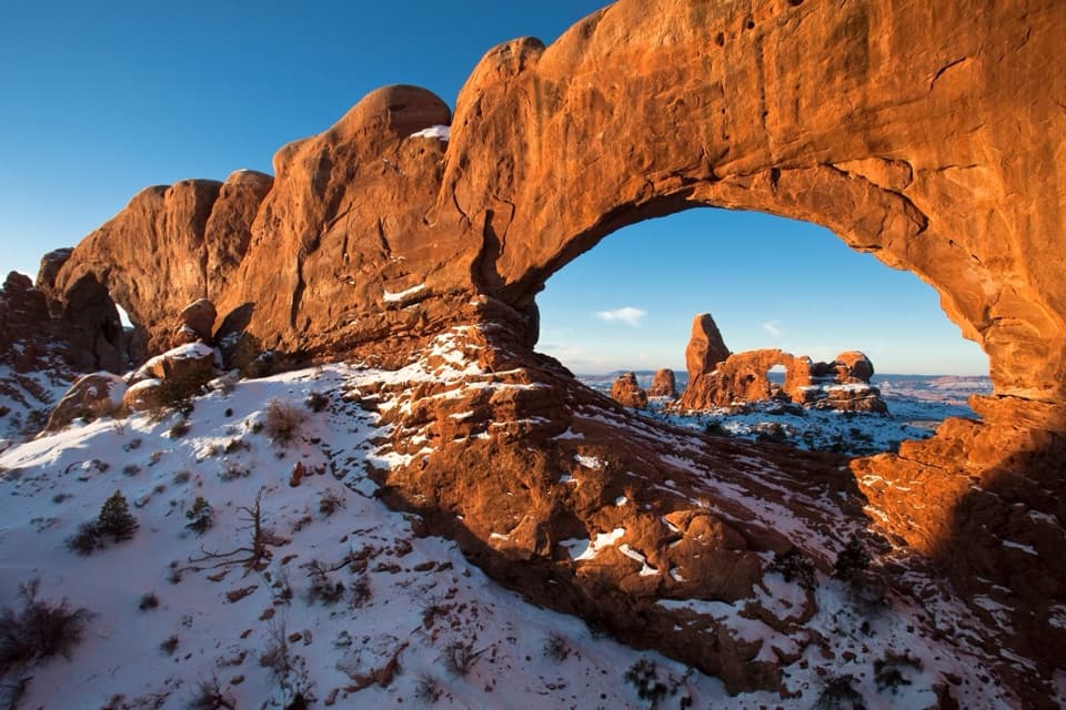
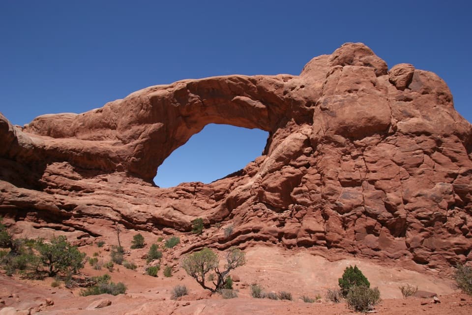
Arches’ geology starts with a thick salt layer deep underground. As that salt bulged into long domes, it cracked the rock above; rain and snowmelt widened the fractures, gradually turning walls into fins and fins into arches. From this overlook, the story reads at valley scale: a wide field of broken sandstone and ridges rather than a single close-up arch.
Wildlife
Wildlife in Arches
 14 sightingsBighorn SheepMost seen around 7 AMSighting map
 10 sightingsPronghornMost seen around 7 AMSighting map
 608 sightingsRavenMost seen around 9 AMSighting map
 187 sightingsMule DeerMost seen around 7 PMSighting map
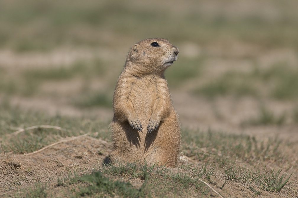 51 sightingsPrairie DogMost seen around 8 AMSighting map
 15 sightingsCoyoteMost seen around 6 AMSighting map
Sighting maps show where each species has been reported across Arches. Wildlife moves, so no sighting is guaranteed.